Holerow Fell
Downs, Moorland in Northumberland
England
Holerow Fell

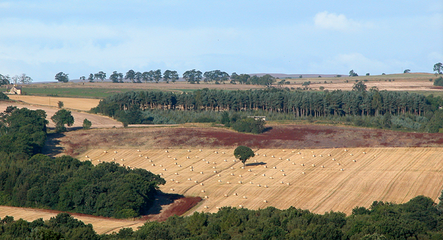
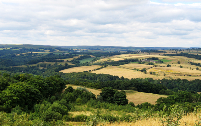
Holerow Fell is a stunning area of natural beauty located in Northumberland, England. Situated in the northern part of the county, it is known for its unique combination of downs and moorland landscapes.
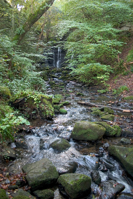
Covering a vast expanse of approximately 800 acres, Holerow Fell offers visitors breathtaking views and a sense of tranquility. The area is characterized by rolling hills covered in lush green grass, interspersed with heather-covered moorland. The terrain is a result of centuries of geological activity, which has created a diverse and rich habitat for a wide variety of plant and animal species.
The fell is home to a range of wildlife, including red grouse, curlews, and lapwings. Birdwatchers flock to the area to catch a glimpse of these species in their natural habitat. Additionally, the diverse flora of the fell includes heather, bilberry, and cotton grass, which paint the landscape in vibrant colors during the summer months.
Holerow Fell is a popular destination for outdoor enthusiasts, offering an array of activities for visitors to enjoy. Hiking and walking trails crisscross the area, allowing visitors to explore the stunning scenery at their own pace. The fell is also a great spot for picnicking, with several picturesque spots offering breathtaking views of the surrounding countryside.
Overall, Holerow Fell is a hidden gem in Northumberland that showcases the natural beauty of the region. Its unique combination of downs and moorland landscapes, diverse flora and fauna, and recreational opportunities make it a must-visit destination for nature lovers and adventure seekers alike.
If you have any feedback on the listing, please let us know in the comments section below.
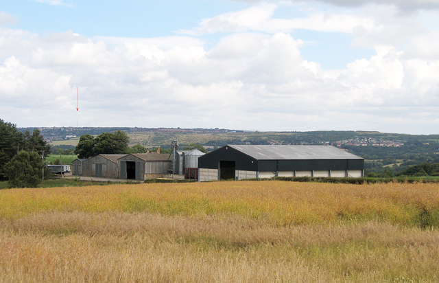
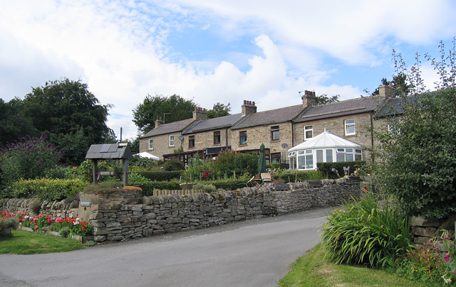
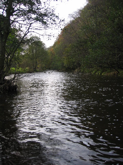
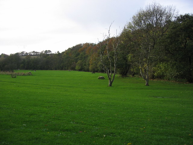
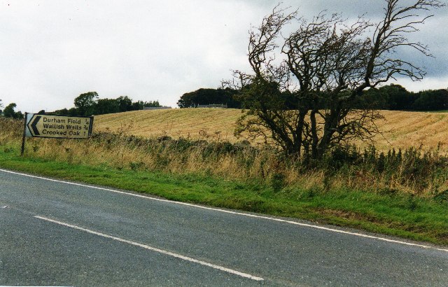
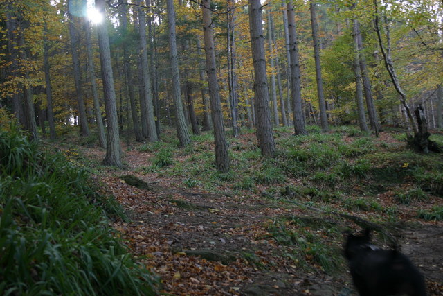
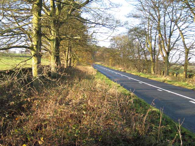
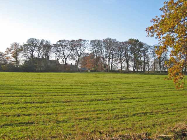
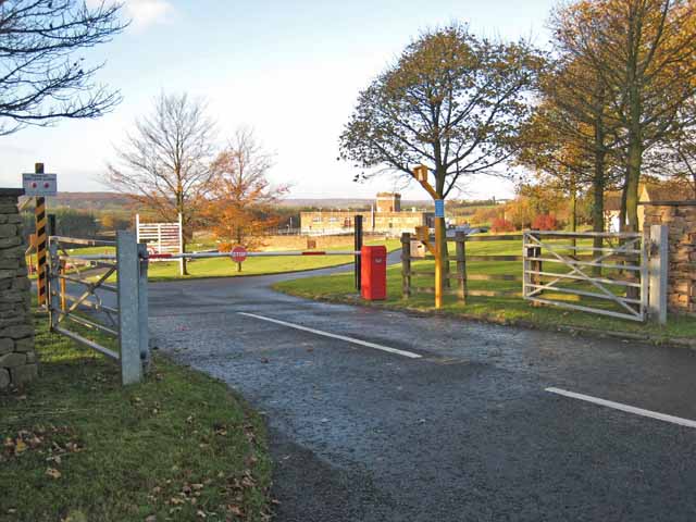
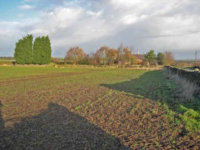
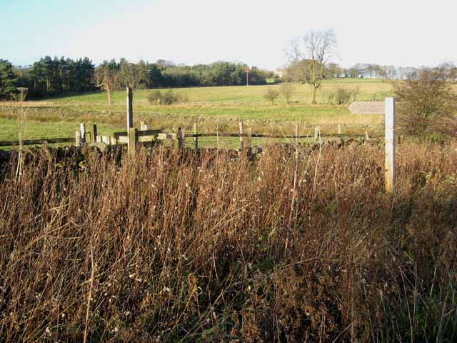
Holerow Fell Images
Images are sourced within 2km of 54.852824/-1.8918454 or Grid Reference NZ0750. Thanks to Geograph Open Source API. All images are credited.


Holerow Fell is located at Grid Ref: NZ0750 (Lat: 54.852824, Lng: -1.8918454)
Unitary Authority: Northumberland
Police Authority: Northumbria
What 3 Words
///flicked.tungsten.boldest. Near Castleside, Co. Durham
Nearby Locations
Related Wikis

Allensford
Allensford is a small country park and hamlet in County Durham, in England. It is on the River Derwent, about 2 miles SW of Consett, and 1 mile north...

Snods Edge
Snods Edge is a small hamlet in South Northumberland, about 4 miles (6 km) from Consett. The name is thought to have derived from "snow's edge", referring...
Consett Academy
Consett Academy is a secondary academy school in Consett, the result of a merger between Consett Community Sports College and Moorside Community Technology...
Shotley Grove
Shotley Grove is a small settlement on the river Derwent, about 1 mile upstream of Shotley Bridge in County Durham, England. Today Shotley Grove is a pleasant...
The Grove, County Durham
The Grove is a village in County Durham, in England. It is situated to the south of Consett. The Grove is a post-World War II housing estate. Originally...
Bridgehill
Bridgehill is an area of Consett in County Durham, England. It is situated near Benfieldside, Blackhill, Shotley Grove, and the River Derwent. == References... ==

Castleside
Castleside is a village in County Durham, England. It is situated a short distance to the south-west of Consett. Castleside is covered by the civil parish...

Shotley Hall
Shotley Hall is a Grade II* listed historic mansion in Shotley Low Quarter, Northumberland, England. It was designed in the Gothic Revival architectural...
Nearby Amenities
Located within 500m of 54.852824,-1.8918454Have you been to Holerow Fell?
Leave your review of Holerow Fell below (or comments, questions and feedback).