Black Allotment
Downs, Moorland in Durham
England
Black Allotment

Black Allotment, Durham, also known as Downs Moorland, is a historical site located in County Durham, England. Spanning approximately 200 acres, this allotment serves as an important recreational and ecological area for both locals and visitors.
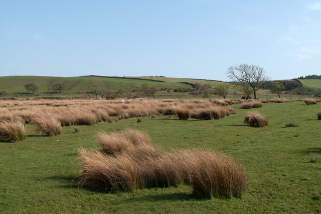
The Black Allotment is characterized by its diverse landscape consisting of moorland, grassland, and woodland. The area's rich biodiversity is evident in its vibrant flora and fauna, making it a haven for nature enthusiasts. The allotment is home to numerous species of birds, such as curlews, lapwings, and skylarks, as well as an array of plant species, including heather, bilberries, and bracken.
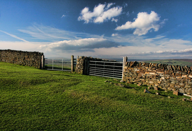
Aside from its ecological significance, Black Allotment offers various recreational activities for visitors. It features several designated walking trails, allowing individuals to explore the natural beauty of the area while enjoying stunning views of the surrounding countryside. The allotment also provides opportunities for picnicking and wildlife spotting, making it an ideal destination for families and nature lovers alike.
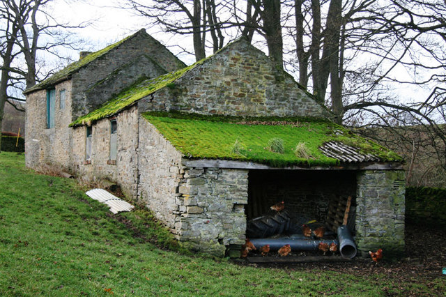
Furthermore, Black Allotment holds historical significance. It has witnessed human activity for centuries, with evidence of Bronze Age settlements and medieval farming practices. The site is also connected to the region's mining heritage, as remnants of coal mining infrastructure can still be seen in certain areas.
Overall, Black Allotment, Durham, is a captivating location that offers a unique blend of natural beauty, recreational opportunities, and historical significance. Whether one is interested in wildlife, outdoor activities, or local history, this allotment provides a memorable experience for all who visit.
If you have any feedback on the listing, please let us know in the comments section below.
Black Allotment Images
Images are sourced within 2km of 54.707785/-1.9064467 or Grid Reference NZ0634. Thanks to Geograph Open Source API. All images are credited.


Black Allotment is located at Grid Ref: NZ0634 (Lat: 54.707785, Lng: -1.9064467)
Unitary Authority: County Durham
Police Authority: Durham
What 3 Words
///successes.awakening.shredder. Near Wolsingham, Co. Durham
Nearby Locations
Related Wikis

Weardale
Weardale is a dale, or valley, on the east side of the Pennines in County Durham, England. Large parts of Weardale fall within the North Pennines Area...

Wear Valley
Wear Valley was, from 1974 to 2009, a local government district in County Durham, England. Its council and district capital was Crook. The district covered...

Wolsingham School
Wolsingham School is a coeducational secondary school located in Wolsingham, County Durham, England.The school is situated just off the A689, and near...

Wolsingham
Wolsingham is a market town in Weardale, County Durham, England. It is situated by the River Wear, between Crook and Stanhope. == History == Wolsingham...
White Kirkley
White Kirkley is a small village in the civil parish of Stanhope, in County Durham, England. It's situated on the south side of Weardale, opposite Frosterley...
Frosterley
Frosterley is a village in the civil parish of Stanhope, in County Durham, England. It is situated in Weardale, on the River Wear close to its confluence...
Low Redford Meadows
Low Redford Meadows is a Site of Special Scientific Interest in the Teesdale district of County Durham, England. It consists of two separate areas of meadows...

Bridge End, County Durham
Bridge End is a hamlet in the civil parish of Stanhope, in County Durham, England. It is situated on the south bank of the River Wear, on the other side...
Nearby Amenities
Located within 500m of 54.707785,-1.9064467Have you been to Black Allotment?
Leave your review of Black Allotment below (or comments, questions and feedback).