Butterton Moor

Downs, Moorland in Staffordshire Staffordshire Moorlands

England

Butterton Moor

Brookside Stables
Brookside Stables Credit: Alex McGregor

Butterton Moor is a picturesque area located in Staffordshire, England. Situated amidst the Staffordshire Moorlands, it is known for its stunning natural beauty and serene landscapes. The moor is characterized by rolling hills and wide open spaces, making it a popular destination for outdoor enthusiasts and nature lovers.

Covered in heather and grasses, the moorland of Butterton Moor offers a diverse range of flora and fauna. Visitors can expect to see an array of wildflowers, such as purple heather and yellow gorse, creating a vibrant and colorful tapestry across the terrain. The moorland also provides a habitat for numerous bird species, including skylarks and curlews, making it a haven for birdwatchers.

The Downs, located within Butterton Moor, offer breathtaking panoramic views of the surrounding countryside. From the top of the Downs, visitors can enjoy vistas that stretch for miles, taking in the rolling hills and valleys that define the Staffordshire landscape.

In addition to its natural beauty, Butterton Moor also holds historical significance. The area is dotted with archaeological sites, including ancient burial mounds and stone circles, which provide evidence of human activity dating back thousands of years.

For those seeking outdoor activities, Butterton Moor offers a multitude of options. Hiking and walking trails crisscross the moorland, allowing visitors to explore the area on foot and take in the tranquil surroundings. The moor is also popular among cyclists and horse riders, with designated routes and bridleways available for their use.

Overall, Butterton Moor is a captivating destination that offers a combination of natural beauty, historical interest, and outdoor recreational opportunities. Whether visitors are seeking solitude in nature or engaging in active pursuits, this Staffordshire gem is sure to leave a lasting impression.

If you have any feedback on the listing, please let us know in the comments section below.

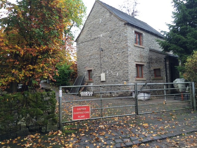
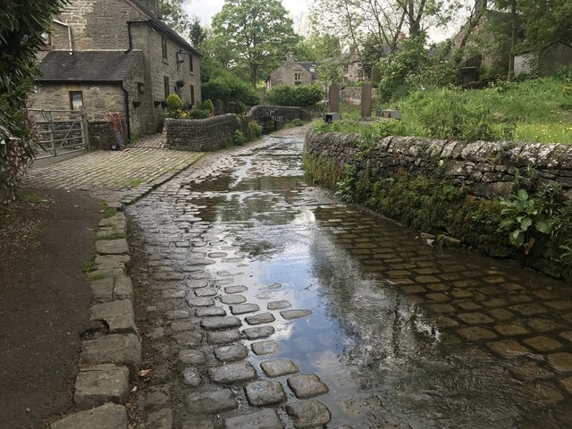
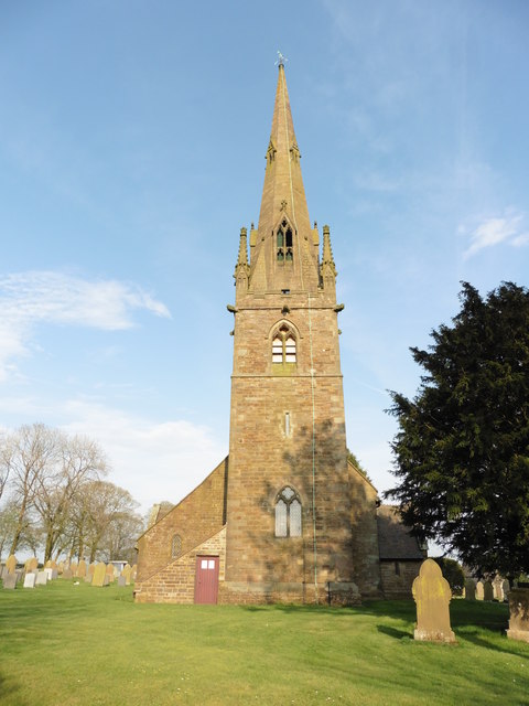
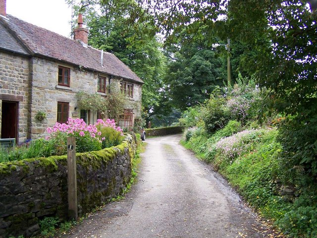
Butterton Moor Images

Images are sourced within 2km of 53.104584/-1.9150155 or Grid Reference SK0556. Thanks to Geograph Open Source API. All images are credited.

Brookside Stables
Brookside Stables
New house
New house
Butterton Ford Another visit to the setted fords at Butterton. A video of the fords can be seen at:<span class="nowrap"><a title="https://youtu.be/JBR5LQss6Hc" rel="nofollow ugc noopener" href="https://youtu.be/JBR5LQss6Hc">Link</a><img style="margin-left:2px;" alt="External link" title="External link - shift click to open in new window" src="https://s1.geograph.org.uk/img/external.png" width="10" height="10"/></span>
and on a previous visit:<a title="https://www.geograph.org.uk/photo/2792811" href="https://www.geograph.org.uk/photo/2792811">Link</a>
Butterton Ford
Another visit to the setted fords at Butterton. A video of the fords can be seen at:LinkExternal link and on a previous visit:Link
Ford at Lower Elkstone This interesting cattle bridge ford is found on the Warslow Brook at Lower Elkstone.
Ford at Lower Elkstone
This interesting cattle bridge ford is found on the Warslow Brook at Lower Elkstone.
Butterton, Staffordshire, St Bartholomew
Old Milepost by the B5053, Onecote parish Cast iron post by the B5053, in parish of ONECOTE (STAFFORDSHIRE MOORLANDS District), Onecote village, 30m South of Fold Farmhouse, in grass in front of drystone wall, on Northwest side of road. Lathe iron casting, erected by the County Council in the 19th/20th century. 

Inscription reads:-
: WARSLOW 3¼ / LONGNOR 7½ / BUXTON 13½ : : ONECOTE : : IPSTONES 4 / FROGHALL 6 / LEEK 6½ / CHEADLE 9 :
Maker:-
: Chas. Lathe, Tipton. :

Grade II listed.  
List Entry Number: 1038176 <span class="nowrap"><a title="https://historicengland.org.uk/listing/the-list/list-entry/1038176" rel="nofollow ugc noopener" href="https://historicengland.org.uk/listing/the-list/list-entry/1038176">Link</a><img style="margin-left:2px;" alt="External link" title="External link - shift click to open in new window" src="https://s1.geograph.org.uk/img/external.png" width="10" height="10"/></span>

Milestone Society National ID: ST_CDBX09.
Old Milepost by the B5053, Onecote parish
Cast iron post by the B5053, in parish of ONECOTE (STAFFORDSHIRE MOORLANDS District), Onecote village, 30m South of Fold Farmhouse, in grass in front of drystone wall, on Northwest side of road. Lathe iron casting, erected by the County Council in the 19th/20th century. Inscription reads:- : WARSLOW 3¼ / LONGNOR 7½ / BUXTON 13½ : : ONECOTE : : IPSTONES 4 / FROGHALL 6 / LEEK 6½ / CHEADLE 9 : Maker:- : Chas. Lathe, Tipton. : Grade II listed. List Entry Number: 1038176 LinkExternal link Milestone Society National ID: ST_CDBX09.
Old Milepost by the B5053, Warslow Road, Butterton parish Cast iron post by the B5053, in parish of BUTTERTON (STAFFORDSHIRE MOORLANDS District), Warslow Road, Brownlow Bank, 200m Southwest of Brownlow Bridge, on grass in front of hedge, on North side of road. Lathe iron casting, erected by the County Council in the 19th/20th century. 

Inscription reads:-
: WARSLOW 1¼ / LONGNOR 5¼ / BUXTON 11½ : : BUTTERTON : : ONECOTE 2 / IPSTONES 6 / FROGHALL 8 / LEEK 8½ / CHEADLE 11 :
Maker:-
: Chas. Lathe, Tipton. :

Grade II listed.  
List Entry Number: 1188336 <span class="nowrap"><a title="https://historicengland.org.uk/listing/the-list/list-entry/1188336" rel="nofollow ugc noopener" href="https://historicengland.org.uk/listing/the-list/list-entry/1188336">Link</a><img style="margin-left:2px;" alt="External link" title="External link - shift click to open in new window" src="https://s1.geograph.org.uk/img/external.png" width="10" height="10"/></span>

Milestone Society National ID: ST_CDBX11.
Old Milepost by the B5053, Warslow Road, Butterton parish
Cast iron post by the B5053, in parish of BUTTERTON (STAFFORDSHIRE MOORLANDS District), Warslow Road, Brownlow Bank, 200m Southwest of Brownlow Bridge, on grass in front of hedge, on North side of road. Lathe iron casting, erected by the County Council in the 19th/20th century. Inscription reads:- : WARSLOW 1¼ / LONGNOR 5¼ / BUXTON 11½ : : BUTTERTON : : ONECOTE 2 / IPSTONES 6 / FROGHALL 8 / LEEK 8½ / CHEADLE 11 : Maker:- : Chas. Lathe, Tipton. : Grade II listed. List Entry Number: 1188336 LinkExternal link Milestone Society National ID: ST_CDBX11.
Approaching Onecote The building ahead is the telephone exchange seen in this contribution by Roger W Haworth 14 years ago <a href="https://www.geograph.org.uk/photo/223832">SK0454 : Onecote Telephone Exchange</a>.
Approaching Onecote
The building ahead is the telephone exchange seen in this contribution by Roger W Haworth 14 years ago SK0454 : Onecote Telephone Exchange.
View of Onecote The church tower is seen above and beyond some farm buildings. Taken near Chapel House Farm.
View of Onecote
The church tower is seen above and beyond some farm buildings. Taken near Chapel House Farm.
Mill Lea near Onecote
Onecote Grange, Staffordshire
The track to Mixon From Onecote Grange
The track to Mixon
From Onecote Grange
At Mixon - junction of tracks
Young bull above The River Hamps He was guarding the public right of way, causing me to divert into the adjacent field.
Young bull above The River Hamps
He was guarding the public right of way, causing me to divert into the adjacent field.
In Onecote looking to St Luke's Church
Building at  Mixon's former copper mine
Building at Mixon's former copper mine
View to Brund Hays from Black Brook
Longhorn cow by Farmoor
Show me another place!

Butterton Moor is located at Grid Ref: SK0556 (Lat: 53.104584, Lng: -1.9150155)

Administrative County: Staffordshire

District: Staffordshire Moorlands

Police Authority: Staffordshire

What 3 Words

///cuter.suave.dodging. Near Leek, Staffordshire

Nearby Locations

Butterton Moor

Related Wikis

Butterton

Butterton is a small village in the Staffordshire Peak District of England (grid reference SK075565). It overlooks the Manifold Valley and Ecton Hill,...

Elkstones

Elkstones is a small hamlet in the parish of Warslow and Elkstones, consisting of Upper Elkstone and Lower Elkstone. Situated high in the Staffordshire...

St Bartholomew's Church, Butterton

St Bartholomew's Church, Butterton is a Grade II listed parish church in the Church of England in Butterton. == History == St Bartholomew's Church was...

Warslow and Elkstones

Warslow and Elkstones is a civil parish in the district of Staffordshire Moorlands in north-east Staffordshire, England. It includes the village of Warslow...

Onecote

Onecote is a village and civil parish on the B5053 road, near Leek, in the Staffordshire Moorlands district, in the county of Staffordshire, England. The...

Morridge

Morridge is a geographical feature, a few mile east of Leek, in Staffordshire, England. It is in the local government district of Staffordshire Moorlands...
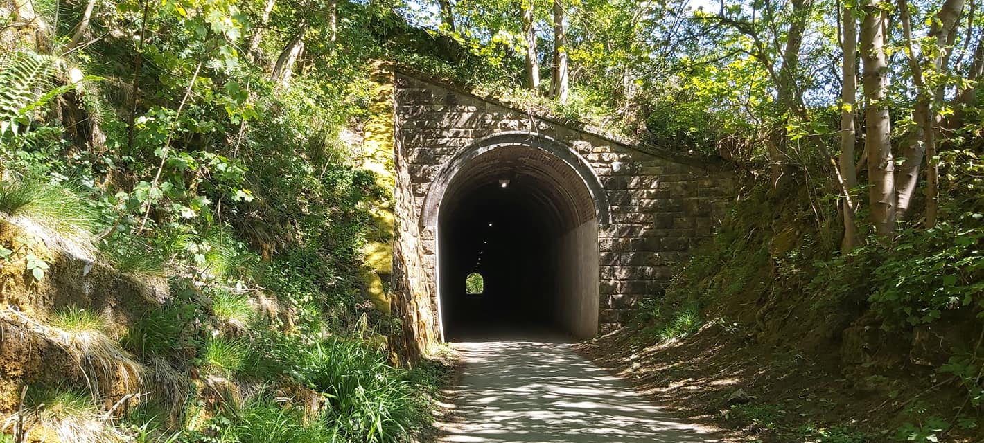
Swainsley Tunnel

Swainsley Tunnel is a tunnel on the route of the former Leek and Manifold Light Railway, which connected the market town of Leek with Hulme End, via Waterhouses...

Grindon, Staffordshire

Grindon is a small village in the Staffordshire Peak District of England. == Geography == Grindon is situated near the southern end of the Peak District...

Nearby Amenities

Located within 500m of 53.104584,-1.9150155
Barrier: stile
Material: wood
Source: survey;gps
Stile: stepover
Lat/Long: 53.1042771/-1.9218332
Barrier: stile
Material: wood
Source: survey;gps
Stile: stepover
Lat/Long: 53.1059082/-1.9217896
Barrier: stile
Material: wood
Source: survey;gps
Stile: stepover
Lat/Long: 53.1060212/-1.9217879
Barrier: cattle_grid
Bicycle: yes
Foot: yes
Motorcar: yes
Motorcycle: yes
Lat/Long: 53.108818/-1.9144023
Butterton Moor
Ele: 358
Natural: peak
Lat/Long: 53.1033898/-1.9117657
The data included in this document is from www.openstreetmap.org. The data is made available under ODbL.

Have you been to Butterton Moor?

Leave your review of Butterton Moor below (or comments, questions and feedback).