Airyholm Plantation
Downs, Moorland in Northumberland
England
Airyholm Plantation

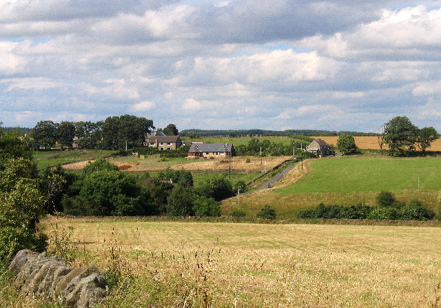
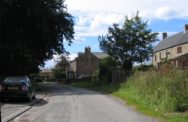
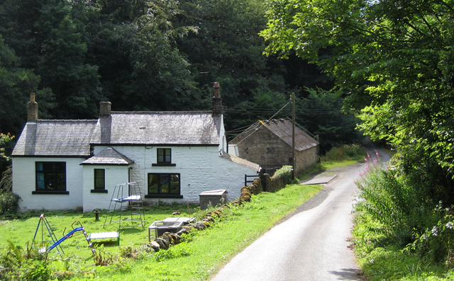
Airyholm Plantation is a picturesque and expansive woodland located in Northumberland, England. Situated in the Downs and Moorland region, this plantation covers a significant area of land, providing a haven for nature enthusiasts and visitors seeking tranquility.
The plantation boasts a diverse range of tree species, including oak, beech, and birch, which provide a stunning natural landscape throughout the seasons. The dense foliage offers a canopy of shade, creating a cool and refreshing atmosphere during the warmer months. The plantation is also home to various wildlife, making it an ideal destination for birdwatchers and nature photographers.
Visitors can explore the plantation through a network of well-maintained footpaths and trails. These paths wind through the woodland, allowing visitors to appreciate the beauty of the surrounding countryside. The plantation also offers picnic areas and benches, providing visitors with the opportunity to relax and enjoy the peaceful surroundings.
Airyholm Plantation is accessible to the public year-round, making it an excellent destination for outdoor activities in all seasons. Whether it's a leisurely stroll, a family picnic, or a nature walk, this plantation offers a serene and captivating environment for all to enjoy.
Located in the heart of Northumberland, Airyholm Plantation serves as a reminder of the area's natural beauty and provides a tranquil retreat for locals and tourists alike. With its diverse flora and fauna, well-maintained paths, and peaceful atmosphere, this plantation is a must-visit destination for those seeking a connection with nature in the Downs and Moorland region.
If you have any feedback on the listing, please let us know in the comments section below.
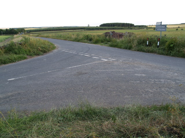
Airyholm Plantation Images
Images are sourced within 2km of 54.883363/-1.9192282 or Grid Reference NZ0554. Thanks to Geograph Open Source API. All images are credited.


![Sheep near Shotleyfield Shotleyfell Plantation in the distance [<a href="https://www.geograph.org.uk/gridref/NZ0452">NZ0452</a>] (and adjoining squares).](https://s0.geograph.org.uk/photos/28/23/282304_be09db3c.jpg)
Airyholm Plantation is located at Grid Ref: NZ0554 (Lat: 54.883363, Lng: -1.9192282)
Unitary Authority: Northumberland
Police Authority: Northumbria
What 3 Words
///variation.group.trend. Near Healey, Northumberland
Nearby Locations
Related Wikis
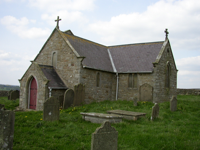
St Andrew's Church, Shotley
St Andrew's Church, Shotley, is a redundant Anglican church standing in an isolated position at a height of 960 feet (293 m) on Greymare Hill in Northumberland...

Snods Edge
Snods Edge is a small hamlet in South Northumberland, about 4 miles (6 km) from Consett. The name is thought to have derived from "snow's edge", referring...
Carterway Heads
Carterway Heads is a hamlet in Northumberland, England. It is situated between Consett and the Derwent Reservoir, at the intersection of the A68 and B6278...

Minsteracres
Minsteracres is an 18th-century mansion house, now a Christian retreat centre, in Northumberland, England. It is a Grade II listed building.The house was...

Shotley Hall
Shotley Hall is a Grade II* listed historic mansion in Shotley Low Quarter, Northumberland, England. It was designed in the Gothic Revival architectural...

Newlands, Northumberland
Newlands is a hamlet and former civil parish, now in the parish of Shotley Low Quarter, in the county of Northumberland, England. It is north of Ebchester...

Shotley Bridge
Shotley Bridge is a village, adjoining the town of Consett to the south in County Durham, England, 15 miles North West of Durham City. It is located on...
Shotley Grove
Shotley Grove is a small settlement on the river Derwent, about 1 mile upstream of Shotley Bridge in County Durham, England. Today Shotley Grove is a pleasant...
Nearby Amenities
Located within 500m of 54.883363,-1.9192282Have you been to Airyholm Plantation?
Leave your review of Airyholm Plantation below (or comments, questions and feedback).