Lower Rowney Green
Downs, Moorland in Worcestershire Bromsgrove
England
Lower Rowney Green
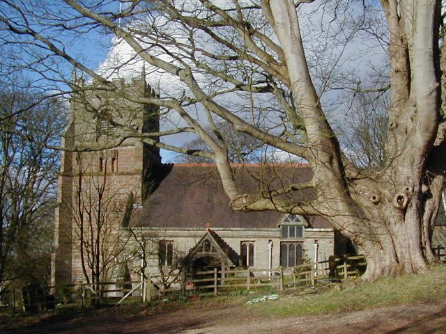
Lower Rowney Green is a small village located in Worcestershire, England. Situated in the heart of the county, it is surrounded by beautiful countryside and offers a peaceful and idyllic setting for its residents. The village is known for its stunning downs and moorland, which attract outdoor enthusiasts and nature lovers alike.
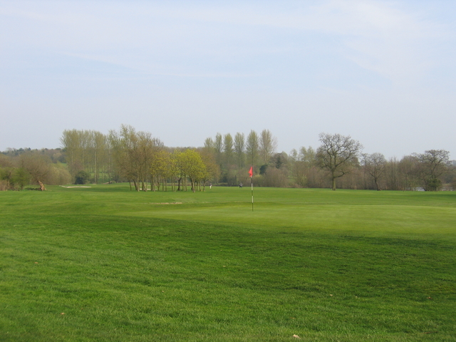
The downs in Lower Rowney Green provide breathtaking views of the surrounding landscape. With rolling hills and lush green fields, it is a perfect spot for walking, hiking, or simply enjoying the tranquility of nature. The moorland, on the other hand, offers a unique and diverse ecosystem, home to a variety of flora and fauna.
The village itself is characterized by charming cottages and well-maintained gardens. The local community is close-knit, with a strong sense of belonging and pride in their surroundings. There is a small village hall which serves as a hub for social gatherings and community events.
Lower Rowney Green benefits from its proximity to nearby towns and cities. The bustling market town of Bromsgrove is just a short drive away, offering a range of amenities including shops, restaurants, and leisure facilities. The city of Worcester is also within easy reach, providing further opportunities for shopping, entertainment, and cultural activities.
Overall, Lower Rowney Green is a picturesque village with a close connection to nature. Its downs and moorland offer a haven for outdoor enthusiasts, while its strong sense of community creates a welcoming and friendly atmosphere for residents and visitors alike.
If you have any feedback on the listing, please let us know in the comments section below.
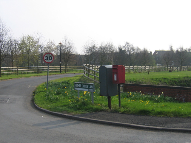
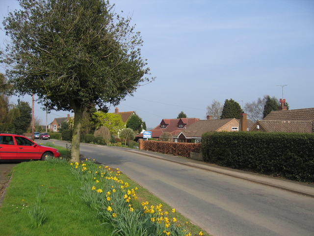
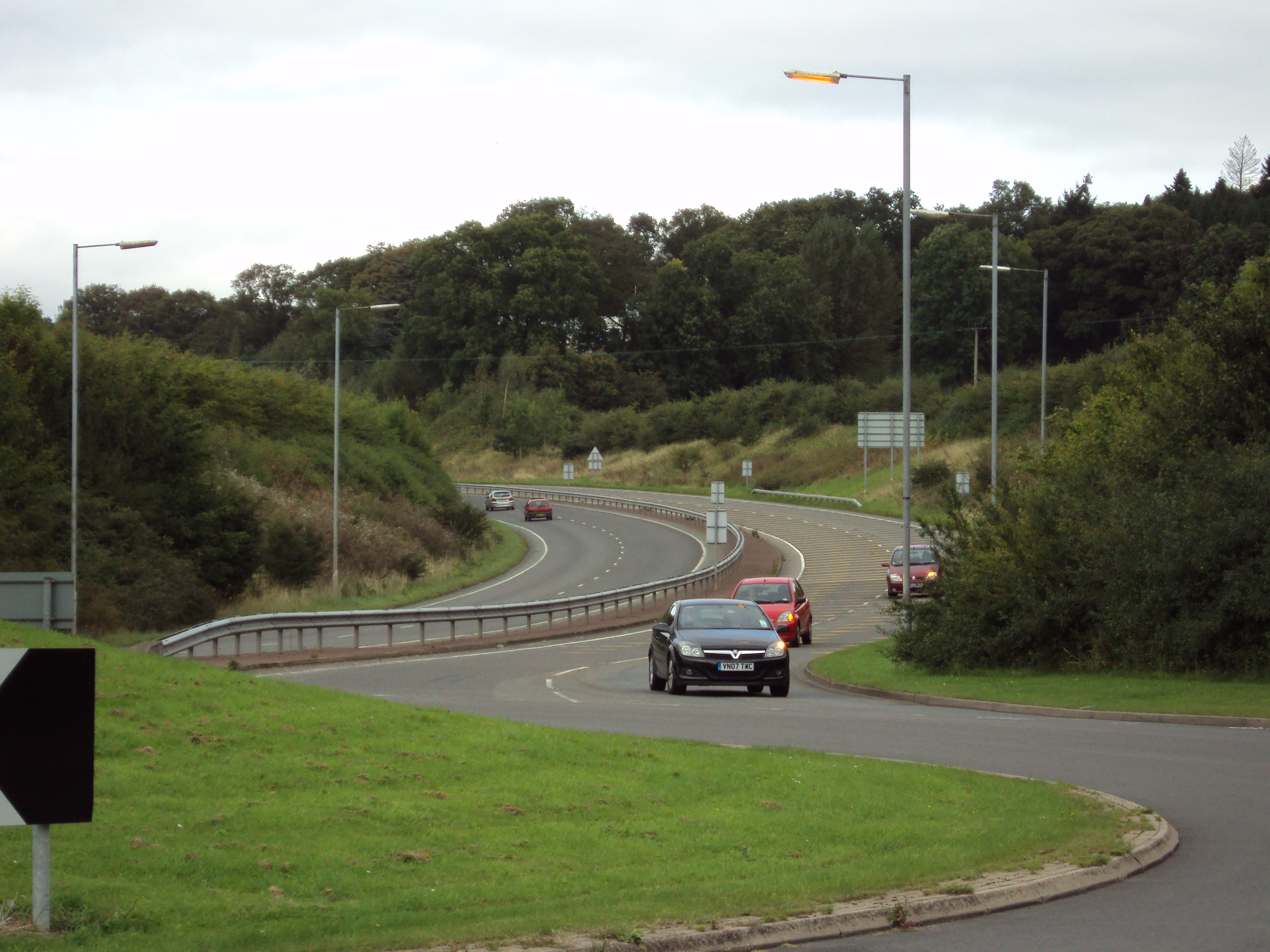
Lower Rowney Green Images
Images are sourced within 2km of 52.339698/-1.9322044 or Grid Reference SP0471. Thanks to Geograph Open Source API. All images are credited.


Lower Rowney Green is located at Grid Ref: SP0471 (Lat: 52.339698, Lng: -1.9322044)
Administrative County: Worcestershire
District: Bromsgrove
Police Authority: West Mercia
What 3 Words
///allow.cycles.copy. Near Alvechurch, Worcestershire
Nearby Locations
Related Wikis
Rowney Green
Rowney Green is a village in the English county of Worcestershire. Today the village consists of over one hundred (mostly detached) homes, a village hall...

Bordesley, Worcestershire
Bordesley is a village north of Redditch, in Worcestershire, England. Bordesley primarily comprises houses alongside the A441 Birmingham Road between...
A441 road
A441 is an A-road in England which runs from central Birmingham to Cookhill, Worcestershire. == Route == The A441 starts on the A4540 The Middleway in...

Alvechurch F.C.
Alvechurch Football Club is a football club based in Alvechurch, Worcestershire, England. They are currently members of the Southern League Premier Division...
Beoley
Beoley is a small village and larger civil parish north of Redditch in the Bromsgrove District of Worcestershire. It adjoins Warwickshire to the east....

Alvechurch
Alvechurch ( ALV-church) is a large village and civil parish in the Bromsgrove district in northeast Worcestershire, England, in the valley of the River...
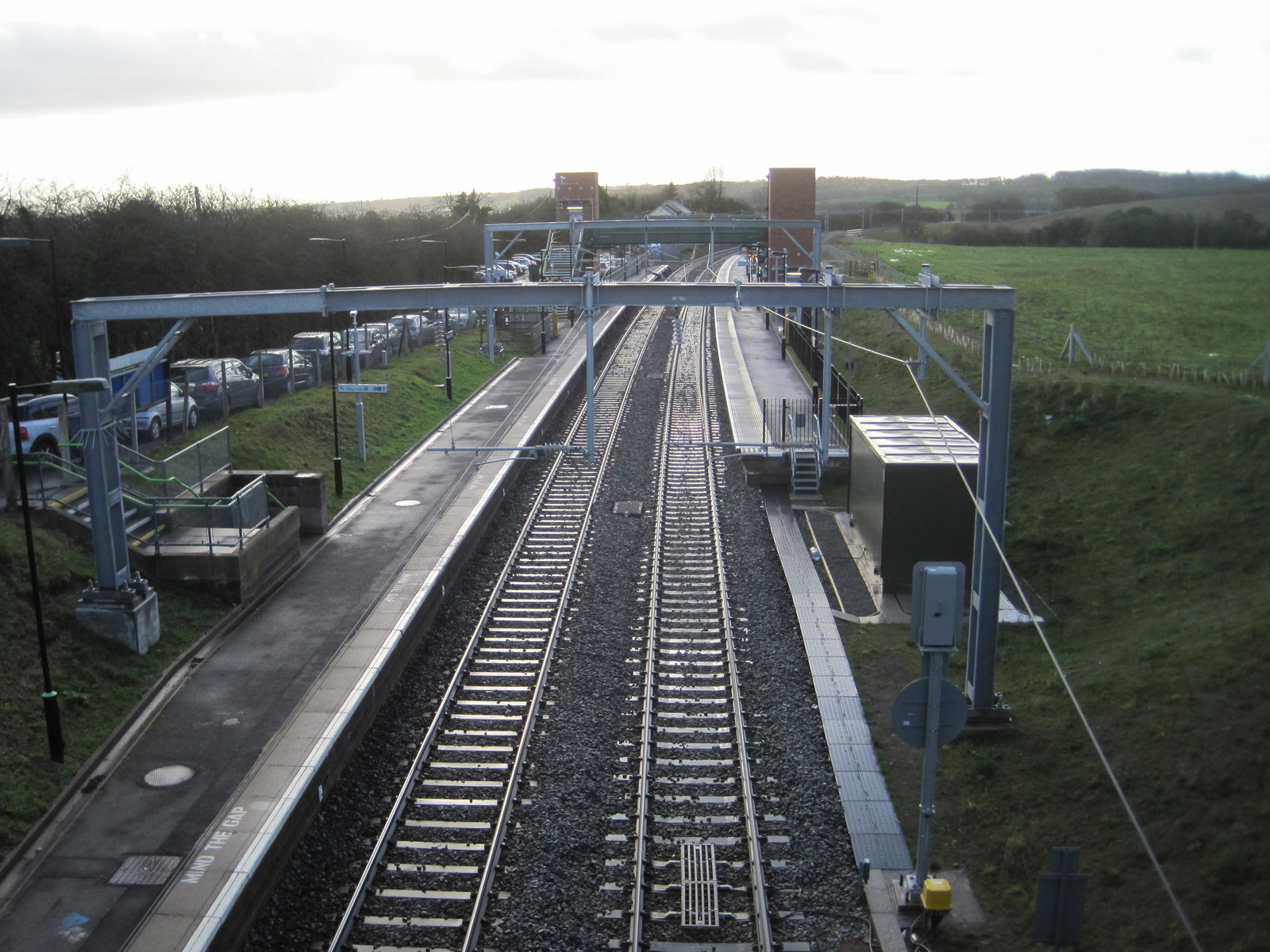
Alvechurch railway station
Alvechurch railway station serves the village of Alvechurch in North Worcestershire, England. It is on the Cross-City Line 11+1⁄4 miles (18 km) southwest...

Bordesley Abbey
Bordesley Abbey was a 12th-century Cistercian abbey near the town of Redditch, in Worcestershire, England. The abbey's foundation was an act of Waleran...
Nearby Amenities
Located within 500m of 52.339698,-1.9322044Have you been to Lower Rowney Green?
Leave your review of Lower Rowney Green below (or comments, questions and feedback).