Bakestone Moor

Settlement in Derbyshire Bolsover

England

Bakestone Moor

Entrance to Whitwell Woods Taken from entrance on A619
Entrance to Whitwell Woods Credit: Stephen Ostler

Bakestone Moor is a picturesque area located in the county of Derbyshire, England. Situated in the southern part of the Peak District National Park, it encompasses an expansive moorland landscape that captivates visitors with its natural beauty and tranquility.

The moor is characterized by its rolling hills, heather-covered expanses, and scattered rocky outcrops, creating a stunning and rugged terrain. It is a haven for outdoor enthusiasts, offering ample opportunities for walking, hiking, and birdwatching. The area is home to various species of birds, including the endangered Merlin and the rare Ring Ouzel, making it a popular destination for ornithologists.

Bakestone Moor also boasts a rich history, with evidence of human activity dating back to the prehistoric era. Remnants of ancient burial mounds and stone circles can still be seen, providing a glimpse into the area's past. Additionally, the moor has played a significant role in the local economy, with evidence of lead mining and quarrying activities.

Visitors to Bakestone Moor can enjoy breathtaking panoramic views of the surrounding countryside, including the nearby Carsington Water reservoir. The moor is a perfect retreat for those seeking solace in nature, providing a peaceful and serene environment away from the hustle and bustle of everyday life.

In summary, Bakestone Moor is a captivating and historically significant area in Derbyshire, offering a unique blend of natural beauty, outdoor activities, and a glimpse into the region's past. It is a must-visit destination for nature lovers and history enthusiasts alike.

If you have any feedback on the listing, please let us know in the comments section below.

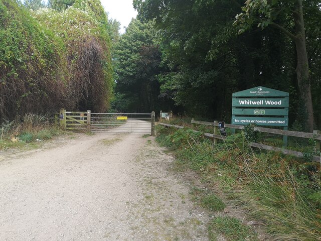
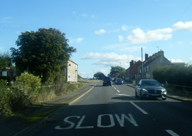
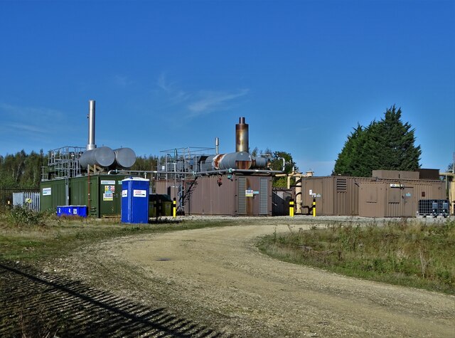
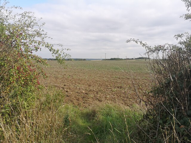
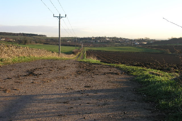
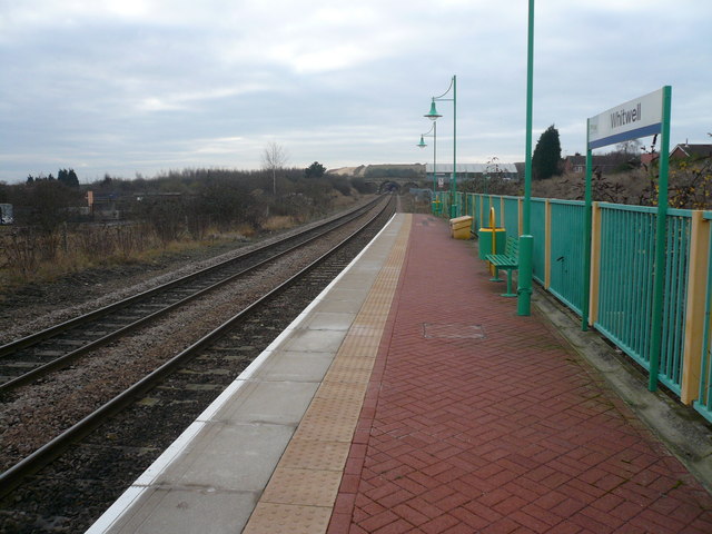
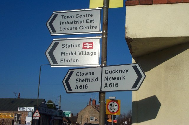
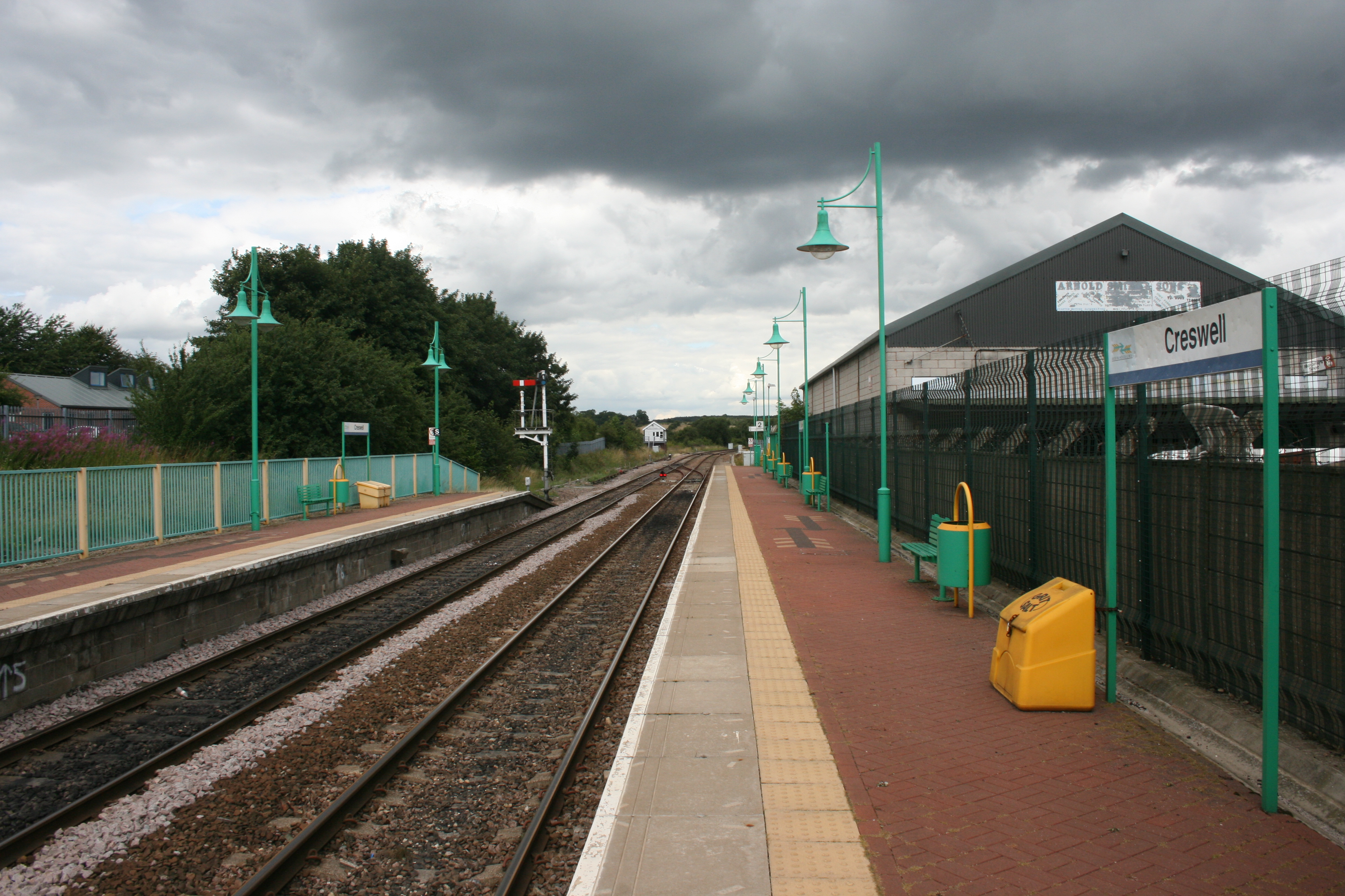
Bakestone Moor Images

Images are sourced within 2km of 53.279366/-1.214682 or Grid Reference SK5276. Thanks to Geograph Open Source API. All images are credited.

Entrance to Whitwell Woods Taken from entrance on A619
Entrance to Whitwell Woods
Taken from entrance on A619
Firbeck Lane Whitwell Wood on the left
Firbeck Lane
Whitwell Wood on the left
A619 at Whitwell Common
A619 Clinthill Lane at lay-by
Hazelmere Road near Creswell
Bus Stop by Peter More Hill Looking towards Whitwell
Bus Stop by Peter More Hill
Looking towards Whitwell
Legacy of Coal Mining at Whitwell In this area of North East Derbyshire the underground world is riddled with old coal mine workings that still emit methane which needs to be vented and dealt with by processing stations like this one.
Legacy of Coal Mining at Whitwell
In this area of North East Derbyshire the underground world is riddled with old coal mine workings that still emit methane which needs to be vented and dealt with by processing stations like this one.
Chimney between Whitwell and Creswell It towers above Steetley Dolomite Works.
Chimney between Whitwell and Creswell
It towers above Steetley Dolomite Works.
St Mary Magdalene's Church, Creswell The foundation stone of this Grade II village church was laid on Tuesday 23 May 1899 by William Cavendish-Bentinck, 6th Duke of Portland. It was built to designs by the architect Louis Ambler at a cost of £4,500 (equivalent to around £520,000 in 2021)
St Mary Magdalene's Church, Creswell
The foundation stone of this Grade II village church was laid on Tuesday 23 May 1899 by William Cavendish-Bentinck, 6th Duke of Portland. It was built to designs by the architect Louis Ambler at a cost of £4,500 (equivalent to around £520,000 in 2021)
Elmton and Creswell Junction signal box On what is now known as "The Robin Hood Line"
Elmton and Creswell Junction signal box
On what is now known as "The Robin Hood Line"
View north from Creswell Station
Brook and weir near Belph It's interesting how the rock edge has been eroded into a zig zag shape. A lovely spot near a lovely small village.
Brook and weir near Belph
It's interesting how the rock edge has been eroded into a zig zag shape. A lovely spot near a lovely small village.
View towards Highwood Lane Taken on the Archaeological Way
View towards Highwood Lane
Taken on the Archaeological Way
View East from Gapsick Lane
Footpath sign near Clowne Footpath towards Whitwell across recently harvested fields.
Footpath sign near Clowne
Footpath towards Whitwell across recently harvested fields.
Footpath towards Gorse Covert
Hodthorpe Community Social Club
Alleyway, Hodthorpe
Alleyway, Hodthorpe
Show me another place!

Bakestone Moor is located at Grid Ref: SK5276 (Lat: 53.279366, Lng: -1.214682)

Administrative County: Derbyshire

District: Bolsover

Police Authority: Derbyshire

What 3 Words

///spurted.become.scraper. Near Whitwell, Derbyshire

Nearby Locations

Whitwell Bakestone Moor

Related Wikis

Nearby Amenities

Located within 500m of 53.279366,-1.214682
Bus Stop
Bus: yes
Naptan AtcoCode: 1000DWBM8025
Naptan NaptanCode: dbsdawaj
Public Transport: platform
Lat/Long: 53.28023/-1.2176524
Bench
Lat/Long: 53.2780694/-1.2197639
Bus Stop
Bus: yes
Naptan AtcoCode: 1000DWBM8024
Naptan NaptanCode: dbsdawag
Public Transport: platform
Lat/Long: 53.2803098/-1.2177971
Bench
Lat/Long: 53.2809484/-1.2132665
Pub
The Royal Oak
Addr City: Worksop
Addr Housenumber: 71
Addr Postcode: S80 4QB
Addr Street: Bakestone Moor
Description Floor: Rough wood floor
Fhrs Id: 2025
Parking: customers
Real Ale: 2 beers
Real Fire: yes
Source Addr: FHRS Open Data
Lat/Long: 53.2807267/-1.2145175
Bus Stop
Bus: yes
Naptan AtcoCode: 1000DWBM8026
Naptan NaptanCode: dbsdawam
Public Transport: platform
Lat/Long: 53.2808278/-1.2150049
Bus Stop
Bus: yes
Public Transport: platform
Lat/Long: 53.2806918/-1.2156783
Bench
Lat/Long: 53.2808201/-1.2159187
Bench
Lat/Long: 53.2819183/-1.2092668
Bus Stop
Bus: yes
Public Transport: platform
Lat/Long: 53.2810767/-1.2098848
Bus Stop
Bus: yes
Public Transport: platform
Lat/Long: 53.2810305/-1.2106487
Post Box
Collection Times: Mo-Fr 09:00; Sa 07:00
Operator: Royal Mail
Operator Wikidata: Q638098
Post Box Type: lamp
Ref: S80 111
Royal Cypher: EIIR
Royal Cypher Wikidata: Q33102113
Lat/Long: 53.2808442/-1.2109595
Turning Circle
Lat/Long: 53.2820042/-1.2114825
Power: pole
Lat/Long: 53.2761998/-1.2178345
Power: pole
Lat/Long: 53.2763961/-1.219626
Power: pole
Lat/Long: 53.2764865/-1.2178858
Power: pole
Lat/Long: 53.2765834/-1.2194063
Power: pole
Lat/Long: 53.2766396/-1.2165966
Power: pole
Lat/Long: 53.2768884/-1.2165714
Power: pole
Lat/Long: 53.2770251/-1.2154556
Power: pole
Lat/Long: 53.2772158/-1.2208261
Power: pole
Lat/Long: 53.2772417/-1.2197904
Power: pole
Lat/Long: 53.2772769/-1.2153794
Power: pole
Lat/Long: 53.27742/-1.2142613
Power: pole
Lat/Long: 53.2776908/-1.2089025
Power: pole
Lat/Long: 53.2777251/-1.2101482
Power: pole
Lat/Long: 53.2777664/-1.2116748
Power: pole
Lat/Long: 53.2777936/-1.2131163
Power: pole
Lat/Long: 53.2778396/-1.2088976
Power: pole
Lat/Long: 53.2778475/-1.2101625
Power: pole
Lat/Long: 53.2778831/-1.2116403
Power: pole
Lat/Long: 53.2779119/-1.2134263
Power: pole
Lat/Long: 53.2805144/-1.2214663
Power: pole
Lat/Long: 53.2812431/-1.2206283
Power: pole
Lat/Long: 53.2819545/-1.2197614
Power: pole
Lat/Long: 53.2825656/-1.2189936
Power: pole
Lat/Long: 53.2831847/-1.2181922
Bench
Lat/Long: 53.2769401/-1.2178034
Bench
Backrest: yes
Lat/Long: 53.2776403/-1.2149434
Note: Not sure of access here
Lat/Long: 53.2793105/-1.21628
Post Box
Collection Times: Mo-Fr 09:00; Sa 07:00
Operator: Royal Mail
Operator Wikidata: Q638098
Post Box Type: lamp
Ref: S80 67
Royal Cypher: EIIR
Royal Cypher Wikidata: Q33102113
Lat/Long: 53.2804132/-1.2177328
Generator Method: photovoltaic
Generator Output Electricity: yes
Generator Source: solar
Generator Type: solar_photovoltaic_panel
Location: roof
Power: generator
Lat/Long: 53.279953/-1.2127183
Generator Method: photovoltaic
Generator Output Electricity: yes
Generator Source: solar
Generator Type: solar_photovoltaic_panel
Location: roof
Power: generator
Lat/Long: 53.2803411/-1.209843
Generator Method: photovoltaic
Generator Output Electricity: yes
Generator Source: solar
Generator Type: solar_photovoltaic_panel
Location: roof
Power: generator
Lat/Long: 53.2803074/-1.2098886
Generator Method: photovoltaic
Generator Output Electricity: yes
Generator Source: solar
Generator Type: solar_photovoltaic_panel
Location: roof
Power: generator
Lat/Long: 53.2803283/-1.2099396
Generator Method: photovoltaic
Generator Output Electricity: yes
Generator Source: solar
Generator Type: solar_photovoltaic_panel
Location: roof
Power: generator
Lat/Long: 53.2827818/-1.2109749
Generator Method: photovoltaic
Generator Output Electricity: yes
Generator Source: solar
Generator Type: solar_photovoltaic_panel
Location: roof
Power: generator
Lat/Long: 53.2817748/-1.216114
Generator Method: photovoltaic
Generator Output Electricity: yes
Generator Source: solar
Generator Type: solar_photovoltaic_panel
Location: roof
Power: generator
Lat/Long: 53.2819223/-1.2160765
Generator Method: photovoltaic
Generator Output Electricity: yes
Generator Source: solar
Generator Type: solar_photovoltaic_panel
Location: roof
Power: generator
Lat/Long: 53.2815679/-1.2166022
Generator Method: photovoltaic
Generator Output Electricity: yes
Generator Source: solar
Generator Type: solar_photovoltaic_panel
Location: roof
Power: generator
Lat/Long: 53.2812391/-1.2172244
Generator Method: photovoltaic
Generator Output Electricity: yes
Generator Source: solar
Generator Type: solar_photovoltaic_panel
Location: roof
Power: generator
Lat/Long: 53.2808992/-1.2168919
Generator Method: photovoltaic
Generator Output Electricity: yes
Generator Source: solar
Generator Type: solar_photovoltaic_panel
Location: roof
Power: generator
Lat/Long: 53.2805832/-1.2161864
Generator Method: photovoltaic
Generator Output Electricity: yes
Generator Source: solar
Generator Type: solar_photovoltaic_panel
Location: roof
Power: generator
Lat/Long: 53.2807436/-1.2180693
Generator Method: photovoltaic
Generator Output Electricity: yes
Generator Source: solar
Generator Type: solar_photovoltaic_panel
Location: roof
Power: generator
Lat/Long: 53.2806121/-1.2174766
Generator Method: photovoltaic
Generator Output Electricity: yes
Generator Source: solar
Generator Type: solar_photovoltaic_panel
Location: roof
Power: generator
Lat/Long: 53.2819273/-1.2110758
Generator Method: photovoltaic
Generator Output Electricity: yes
Generator Source: solar
Generator Type: solar_photovoltaic_panel
Location: roof
Power: generator
Lat/Long: 53.2806588/-1.212669
Generator Method: photovoltaic
Generator Output Electricity: yes
Generator Source: solar
Generator Type: solar_photovoltaic_panel
Location: roof
Power: generator
Lat/Long: 53.2807125/-1.2117236
Generator Method: photovoltaic
Generator Output Electricity: yes
Generator Source: solar
Generator Type: solar_photovoltaic_panel
Location: roof
Power: generator
Lat/Long: 53.2836334/-1.2129051
Playground: yes
Lat/Long: 53.2814418/-1.2151332
Playground: yes
Lat/Long: 53.2814185/-1.2153813
Playground: yes
Lat/Long: 53.2813552/-1.215443
Playground: yes
Lat/Long: 53.2814899/-1.2151453
Playground: yes
Lat/Long: 53.2814939/-1.2152472
Playground: yes
Lat/Long: 53.2814241/-1.215498
Playground: yes
Lat/Long: 53.2815059/-1.215557
Building: entrance
Lat/Long: 53.2807399/-1.2144441
Defibrillator
Access: yes
Defibrillator Location: By the entrance to the pub.
Emergency: defibrillator
Indoor: no
Lat/Long: 53.2807595/-1.2144275
The data included in this document is from www.openstreetmap.org. The data is made available under ODbL.

Have you been to Bakestone Moor?

Leave your review of Bakestone Moor below (or comments, questions and feedback).