Bakesdown
Settlement in Cornwall
England
Bakesdown
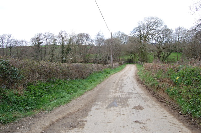
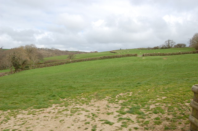
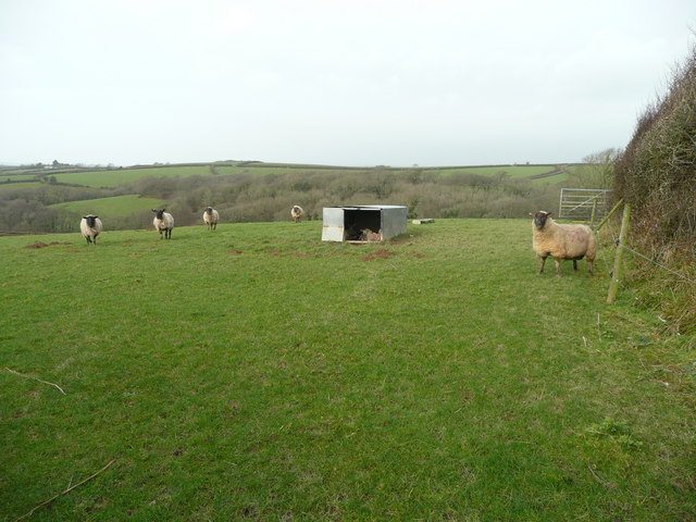
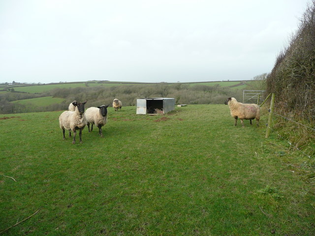
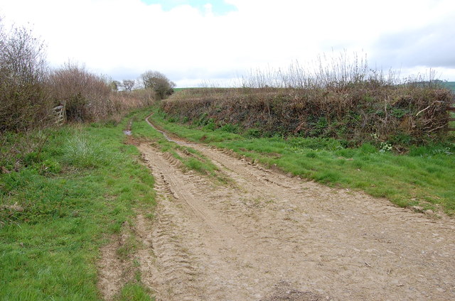
Bakesdown is a small hamlet located in North Cornwall, England. Situated near the town of Bude, Bakesdown is a rural area characterized by rolling hills, farmland, and a peaceful countryside setting. The hamlet is surrounded by picturesque views of the Cornish countryside, making it an ideal location for those seeking a quiet and idyllic escape from city life.
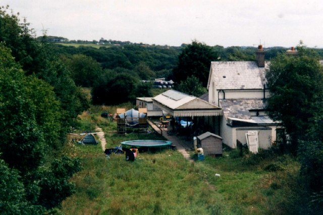
Bakesdown is home to a mix of traditional stone cottages and modern houses, giving the area a charming and eclectic feel. The community is tight-knit, with residents often coming together for local events and activities. The hamlet is also known for its proximity to popular attractions such as the Bude Canal and the stunning coastline of North Cornwall.
Visitors to Bakesdown can enjoy a range of outdoor activities, including hiking, cycling, and exploring the nearby beaches. The hamlet is also a short drive away from the bustling town of Bude, where visitors can find a variety of shops, restaurants, and amenities. Overall, Bakesdown offers a peaceful and scenic retreat for those looking to experience the beauty of the Cornish countryside.
If you have any feedback on the listing, please let us know in the comments section below.
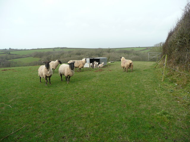
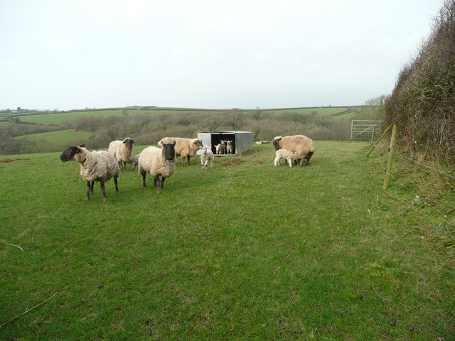
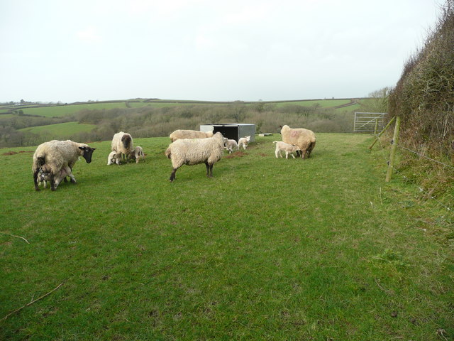
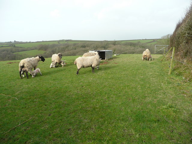
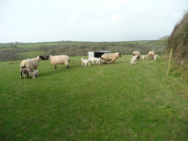
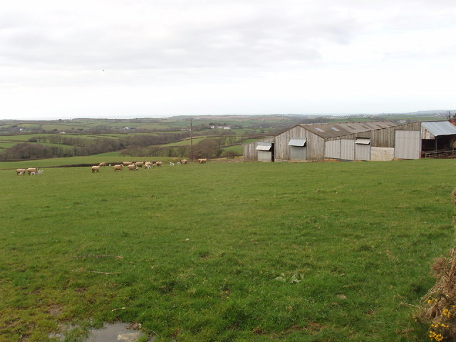
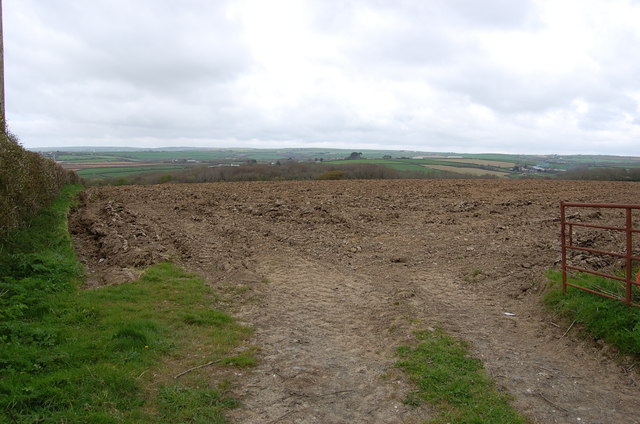
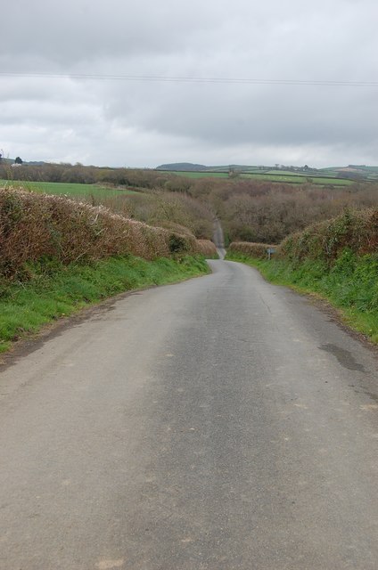
Bakesdown Images
Images are sourced within 2km of 50.779259/-4.487692 or Grid Reference SS2400. Thanks to Geograph Open Source API. All images are credited.


Bakesdown is located at Grid Ref: SS2400 (Lat: 50.779259, Lng: -4.487692)
Unitary Authority: Cornwall
Police Authority: Devon and Cornwall
What 3 Words
///cluttered.fuels.butterfly. Near Poundstock, Cornwall
Nearby Locations
Related Wikis

Bakesdown
Bakesdown is a hamlet in northeast Cornwall, England, United Kingdom at grid reference SS 246 005. Bakesdown is 5 miles (8 kilometres) southeast of Bude...

Titson
Titson or Budd's Titson is a hamlet in the parish of Marhamchurch, Cornwall, England, United Kingdom. == References == == External links == Media related...
Whitstone and Bridgerule railway station
Whitstone and Bridgerule (Cornish: Mengwynn ha Ponsrowald) was a railway station on the Bude Branch that closed in 1966. The station was opened in 1898...
St Anne's Church, Whitstone
St Anne's Church, Whitstone is a Grade I listed parish church in the Church of England Diocese of Truro in Whitstone, Cornwall, England, UK. == History... ==
Nearby Amenities
Located within 500m of 50.779259,-4.487692Have you been to Bakesdown?
Leave your review of Bakesdown below (or comments, questions and feedback).