Cutshaw Moor
Downs, Moorland in Yorkshire
England
Cutshaw Moor

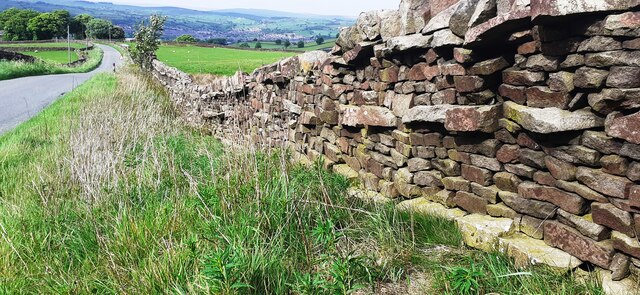
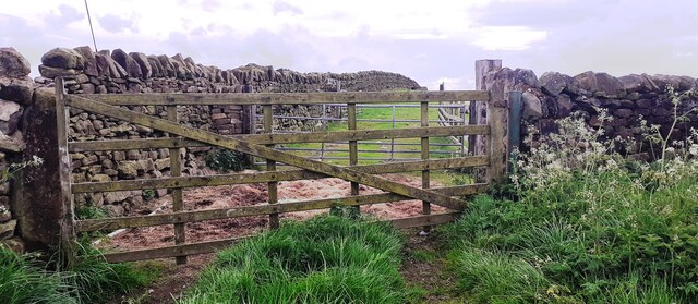
Cutshaw Moor is a picturesque area located in the county of Yorkshire, England. Situated in the northern region of the county, it is known for its stunning landscapes, consisting of both downs and moorland. The moorland stretches over vast expanses, offering visitors breathtaking views of rolling hills and open spaces.
The area is characterized by its unique flora and fauna, with heather and bracken dominating the landscape. Cutshaw Moor is also home to a diverse range of wildlife, including various bird species such as curlews and lapwings, as well as hares and rabbits that can be spotted darting across the fields.
Hikers and nature enthusiasts are drawn to Cutshaw Moor for its numerous walking trails and paths. The area offers a variety of routes suitable for all levels of fitness, with options ranging from gentle strolls to more challenging treks. The Yorkshire Downs, which border the moorland, provide additional opportunities for outdoor activities such as cycling and horse riding.
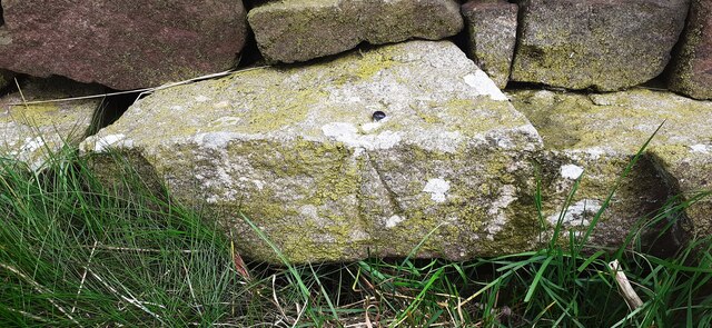
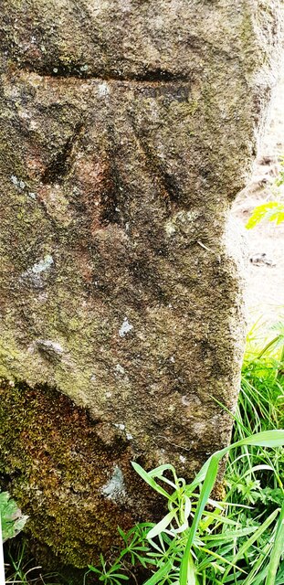
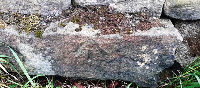
In addition to its natural beauty, Cutshaw Moor is steeped in history. The area is dotted with ancient landmarks, including burial mounds and stone circles, which dating back to the prehistoric era. These archaeological sites provide a glimpse into the area's rich past and attract history enthusiasts from far and wide.
Cutshaw Moor is a tranquil escape from the hustle and bustle of city life, offering visitors a chance to immerse themselves in the unspoiled beauty of the Yorkshire countryside. Whether it's exploring the moorland, observing wildlife, or delving into its historical significance, Cutshaw Moor provides a truly immersive experience for all who visit.
If you have any feedback on the listing, please let us know in the comments section below.
Cutshaw Moor Images
Images are sourced within 2km of 53.877502/-1.9557159 or Grid Reference SE0342. Thanks to Geograph Open Source API. All images are credited.


Cutshaw Moor is located at Grid Ref: SE0342 (Lat: 53.877502, Lng: -1.9557159)
Division: West Riding
Unitary Authority: Bradford
Police Authority: West Yorkshire
What 3 Words
///atom.manliness.circle. Near Steeton, West Yorkshire
Nearby Locations
Related Wikis

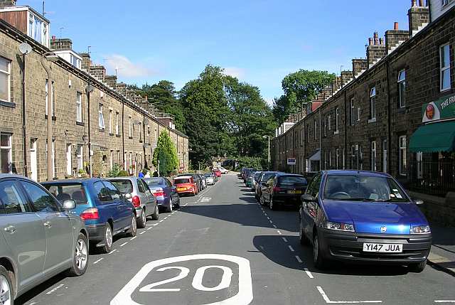
Laycock, West Yorkshire
Laycock is a small village in the Bradford District of West Yorkshire that overlooks the hamlet of Goose Eye. The village is 1.9 miles (3 km) west of the...

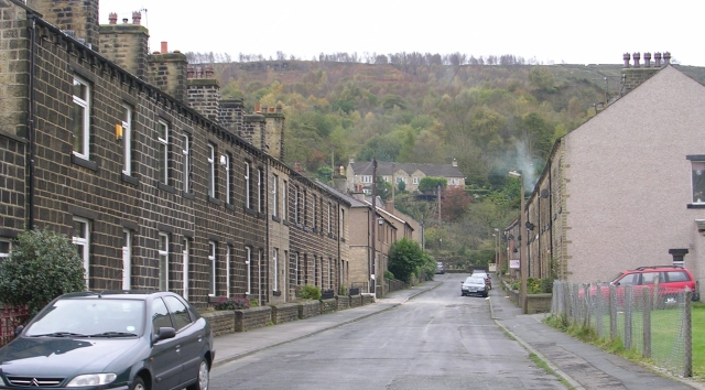
Steeton with Eastburn
Steeton with Eastburn is a civil parish within the City of Bradford Metropolitan District, West Yorkshire, England. Historically part of the West Riding...
Steeton, West Yorkshire
Steeton is a village in the City of Bradford metropolitan borough, West Yorkshire, England. Historically part of the West Riding of Yorkshire, it is situated...
Eastburn, West Yorkshire
Eastburn is a village within the Steeton with Eastburn civil parish, in the City of Bradford Metropolitan District, West Yorkshire, England. The road...

Steeton A.F.C.
Steeton Association Football Club is an English football club based in Steeton, West Yorkshire. They are currently members of the North West Counties League...
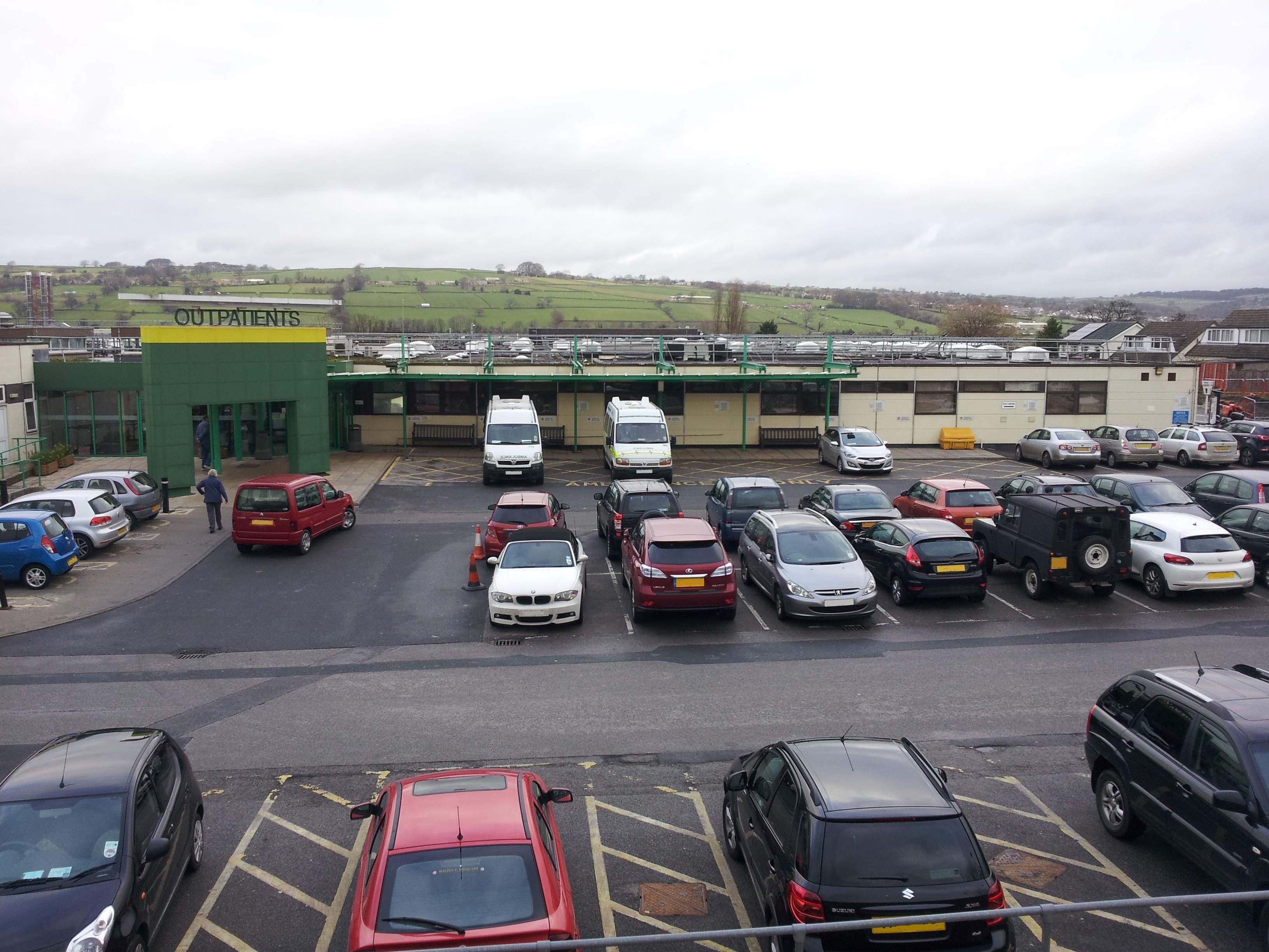
Airedale General Hospital
Airedale General Hospital is an NHS district General Hospital based in Steeton with Eastburn, West Yorkshire, England and is operated by the Airedale NHS...
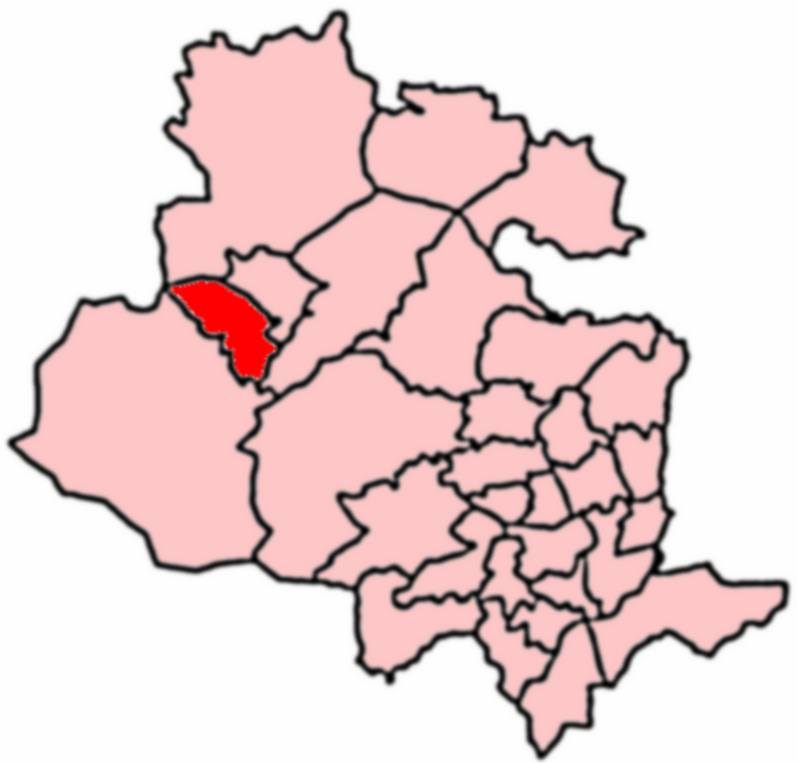
Keighley West
Keighley West (population 15,784 - 2001 UK census) is a ward within the City of Bradford Metropolitan District Council in the county of West Yorkshire...
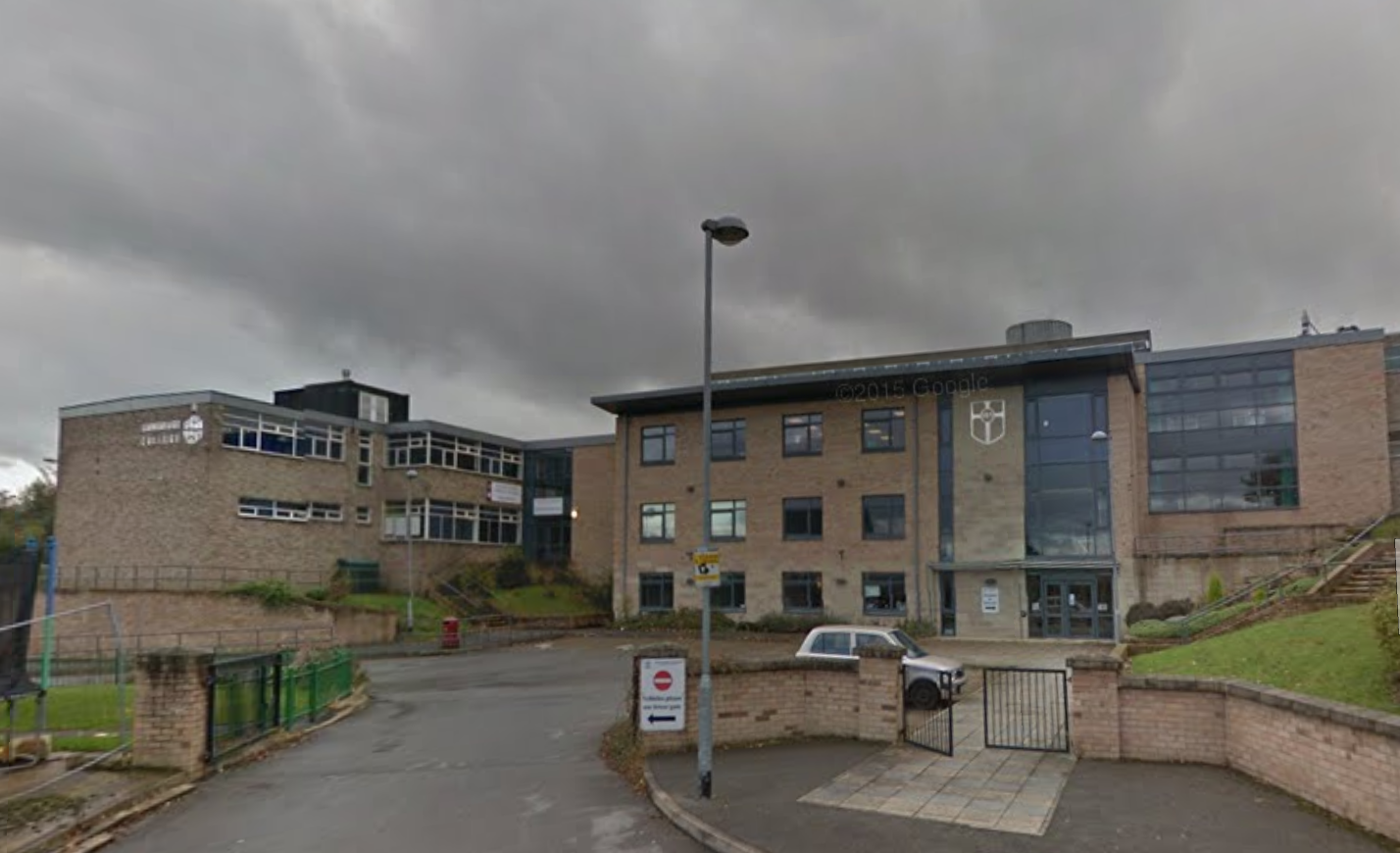
Holy Family Catholic School, Keighley
The Holy Family Catholic School is a coeducational Roman Catholic secondary school and sixth form serving the parishes and communities in and around the...
Nearby Amenities
Located within 500m of 53.877502,-1.9557159Have you been to Cutshaw Moor?
Leave your review of Cutshaw Moor below (or comments, questions and feedback).