Fowberry Park
Downs, Moorland in Northumberland
England
Fowberry Park

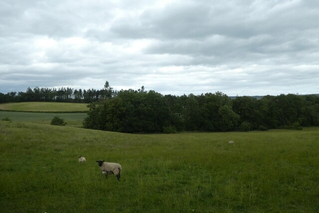
Fowberry Park is a picturesque area located in the county of Northumberland, England. Situated amidst the striking landscape of the Downs and Moorland, it offers visitors a unique and tranquil experience. The park covers a substantial area, with rolling hills, green meadows, and scattered woodlands, creating a diverse and captivating environment.
The Downs of Fowberry Park offer breathtaking views of the surrounding countryside. Visitors can enjoy leisurely walks or hikes through the undulating terrain, taking in the panoramic vistas that stretch for miles. The park is home to a wide array of flora and fauna, including rare wildflowers and various bird species, making it a haven for nature enthusiasts.
The Moorland section of Fowberry Park provides a distinct landscape, characterized by open expanses of heather-covered hills and peat bogs. Here, visitors can witness the unique ecology of the moors, with their rich diversity of plant life, including cotton grass and bilberry bushes. The Moorland also attracts wildlife such as curlews, lapwings, and red grouse, providing ample opportunities for birdwatching.
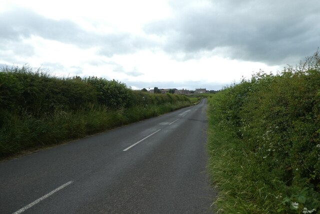
Fowberry Park offers numerous recreational activities for outdoor enthusiasts. The park features well-maintained trails for walking, cycling, and horse riding, allowing visitors to explore the area at their own pace. Additionally, there are designated picnic areas and camping sites for those looking to immerse themselves in the natural beauty of the park.
With its stunning landscapes, diverse ecosystems, and a range of outdoor activities, Fowberry Park is a must-visit destination for nature lovers and those seeking a peaceful retreat in the heart of Northumberland.
If you have any feedback on the listing, please let us know in the comments section below.
Fowberry Park Images
Images are sourced within 2km of 55.541495/-1.9543829 or Grid Reference NU0227. Thanks to Geograph Open Source API. All images are credited.


Fowberry Park is located at Grid Ref: NU0227 (Lat: 55.541495, Lng: -1.9543829)
Unitary Authority: Northumberland
Police Authority: Northumbria
What 3 Words
///mildest.nitrate.extension. Near Wooler, Northumberland
Nearby Locations
Related Wikis

Fowberry Tower
Fowberry Tower is a Grade II* listed mansion house, situated on the banks of the River Till, near Chatton, Northumberland.The Manor of Fowberry was owned...

Berwick-upon-Tweed (UK Parliament constituency)
Berwick-upon-Tweed ( ) is a parliamentary constituency in Northumberland represented in the House of Commons of the UK Parliament since 2015 by Anne-Marie...

Chatton
Chatton is a village in Northumberland, in England. It is roughly 6 km (3.7 mi) to the east of Wooler. == History == Chatton has been occupied for many...

Lilburn, Northumberland
Lilburn is a small village in Northumberland, England. It is located in the on the edge of the Cheviots. The local farming estate is centred on Lilburn...
Nearby Amenities
Located within 500m of 55.541495,-1.9543829Have you been to Fowberry Park?
Leave your review of Fowberry Park below (or comments, questions and feedback).