Gurston Down

Downs, Moorland in Wiltshire

England

Gurston Down

River Chalke near Mount Sorrel A little bridge takes a track over the laneside stream and into a field.
River Chalke near Mount Sorrel Credit: Derek Harper

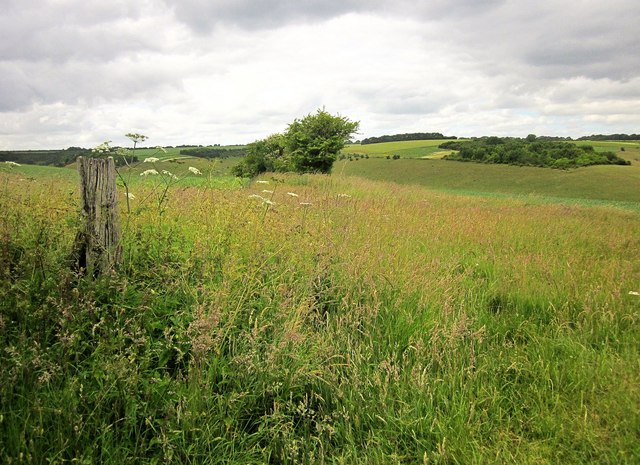
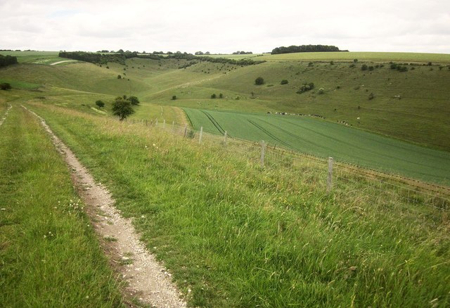
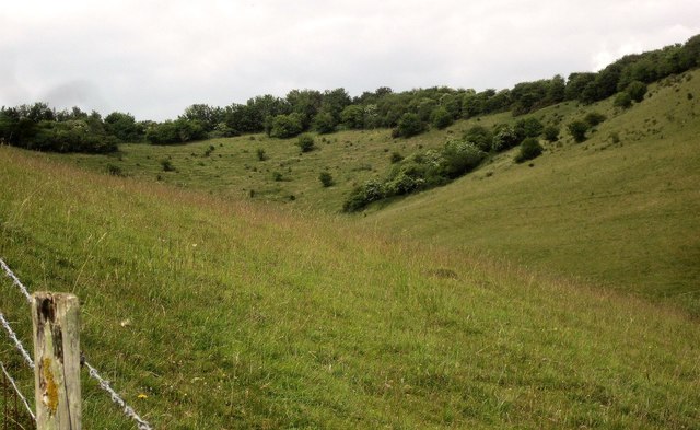
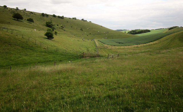
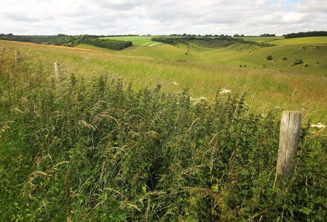
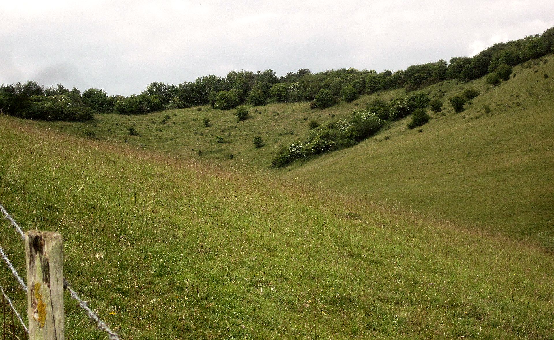
Gurston Down is a picturesque hill located in Wiltshire, England. It is a popular destination for motorsport enthusiasts and is renowned for hosting various events throughout the year. Nestled amidst the stunning countryside, Gurston Down offers a unique and challenging track for drivers and spectators alike.

The hill climb course at Gurston Down stretches over 1,000 yards and features a variety of challenging bends and gradients. The course starts at the bottom of the hill and winds its way up through the lush green fields, offering breathtaking views of the surrounding downs and moorland.

The venue has a rich history in motorsport, with the first recorded event taking place in 1967. Since then, it has become a regular fixture on the British Hillclimb Championship calendar, attracting top drivers from across the country. The track is known for its technical nature, requiring precision driving and skillful maneuvering.

Spectators can enjoy the thrill of watching powerful sports cars and purpose-built racing machines tackle the course at high speeds. The venue offers excellent vantage points, allowing spectators to witness the action up close. Additionally, there are designated viewing areas, grandstands, and facilities for refreshments.

Gurston Down is also home to the Gurston Down Speed Hill Climb Club, a community of motorsport enthusiasts who organize and participate in events throughout the year. The club welcomes both experienced drivers and newcomers, providing a friendly and inclusive environment for all.

Overall, Gurston Down in Wiltshire offers a unique and thrilling experience for motorsport enthusiasts, combining the beauty of the countryside with the excitement of high-speed racing.

If you have any feedback on the listing, please let us know in the comments section below.

Gurston Down Images

Images are sourced within 2km of 51.036838/-1.9699134 or Grid Reference SU0226. Thanks to Geograph Open Source API. All images are credited.
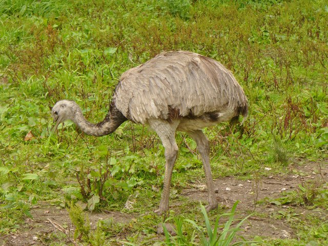
River Chalke near Mount Sorrel A little bridge takes a track over the laneside stream and into a field.
River Chalke near Mount Sorrel
A little bridge takes a track over the laneside stream and into a field.
Lane at Mount Sorrel The road from Bowerchalke passes buildings at the hamlet.
Lane at Mount Sorrel
The road from Bowerchalke passes buildings at the hamlet.
Martins Barn, Mount Sorrel The lane from Bowerchalke crosses the River Chalke just before passing this impressive building. <a href="https://www.geograph.org.uk/photo/4547191">SU0324 : River Chalke at Mount Sorrel</a> was taken from the bridge.
Martins Barn, Mount Sorrel
The lane from Bowerchalke crosses the River Chalke just before passing this impressive building. SU0324 : River Chalke at Mount Sorrel was taken from the bridge.
River Chalke at Mount Sorrel Looking upstream as the little river runs beside the road. On the left is <a href="https://www.geograph.org.uk/photo/4745301">SU0324 : Martins Barn, Mount Sorrel</a>.
River Chalke at Mount Sorrel
Looking upstream as the little river runs beside the road. On the left is SU0324 : Martins Barn, Mount Sorrel.
River Chalke at Cliff Side The laneside stream passes a pair of semis southwest of Broad Chalke.
River Chalke at Cliff Side
The laneside stream passes a pair of semis southwest of Broad Chalke.
River Chalke at Cliff Side A reverse view of <a href="https://www.geograph.org.uk/photo/4745347">SU0325 : River Chalke at Cliff Side</a>, from the junction of Knapp Hill and South Street.
River Chalke at Cliff Side
A reverse view of SU0325 : River Chalke at Cliff Side, from the junction of Knapp Hill and South Street.
Watercress beds at Broad Chalke See <a title="https://www.geograph.org.uk/discuss/index.php?action=vthread&topic=15556" href="https://www.geograph.org.uk/discuss/index.php?action=vthread&topic=15556">Link</a> . This is beside Knapp Hill.
Watercress beds at Broad Chalke
See Link . This is beside Knapp Hill.
On bridleway BROA 21 Trees along a field boundary that heads towards the dry valley below Knapp Down.
On bridleway BROA 21
Trees along a field boundary that heads towards the dry valley below Knapp Down.
Track across access land to Knapp Down A little further down the track shown in <a href="https://www.geograph.org.uk/photo/4554031">SU0226 : Track across access land to Knapp Down</a>.
Track across access land to Knapp Down
A little further down the track shown in SU0226 : Track across access land to Knapp Down.
Dry valley, Knapp Down Looking up to the head of the valley shown in <a href="https://www.geograph.org.uk/photo/4549940">SU0227 : Dry valley, Knapp Down</a>.
Dry valley, Knapp Down
Looking up to the head of the valley shown in SU0227 : Dry valley, Knapp Down.
Dry valley, Knapp Down Looking down the valley shown in <a href="https://www.geograph.org.uk/photo/4554040">SU0226 : Valley below Knapp Down</a>. Having reached the gate in the centre and pondered things awhile, the cattle have now turned around and dispersed.
Dry valley, Knapp Down
Looking down the valley shown in SU0226 : Valley below Knapp Down. Having reached the gate in the centre and pondered things awhile, the cattle have now turned around and dispersed.
View from Gurston Down The view north from bridleway BROA 21 towards the system of dry valleys below Knapp Down shown in <a href="https://www.geograph.org.uk/photo/4554031">SU0226 : Track across access land to Knapp Down</a>.
View from Gurston Down
The view north from bridleway BROA 21 towards the system of dry valleys below Knapp Down shown in SU0226 : Track across access land to Knapp Down.
Fifield Bavant Ford This ford and clapper bridge on the River Ebble are found at Fifield Bavant.
Fifield Bavant Ford
This ford and clapper bridge on the River Ebble are found at Fifield Bavant.
Broad Chalke - The Queen's Head Pub on North Street in the centre of Broad Chalke village.
Broad Chalke - The Queen's Head
Pub on North Street in the centre of Broad Chalke village.
Chalk Stream Good stream for trout fishermen and for watercress at Broad Chalke in the Wiltshire Downs.
Chalk Stream
Good stream for trout fishermen and for watercress at Broad Chalke in the Wiltshire Downs.
Ostrich Egg Uncommon product at Broad Chalke, Wiltshire. [The average length of an ostrich egg is ca. 6 inches]. The village has an ostrich-rearing smallholding.
Ostrich Egg
Uncommon product at Broad Chalke, Wiltshire. [The average length of an ostrich egg is ca. 6 inches]. The village has an ostrich-rearing smallholding.
Broad Chalke - Rhea A rare bird indeed - on a smallholding in Broad Chalke, Wiltshire.
Broad Chalke - Rhea
A rare bird indeed - on a smallholding in Broad Chalke, Wiltshire.
Show me another place!

Gurston Down is located at Grid Ref: SU0226 (Lat: 51.036838, Lng: -1.9699134)

Unitary Authority: Wiltshire

Police Authority: Wiltshire

What 3 Words

///tissue.richest.stems. Near Bower Chalke, Wiltshire

Related Wikis

Gurston Down Motorsport Hillclimb

The Gurston Down Speed Hill Climb is a hillclimb in Broad Chalke, Wiltshire, England, organised by the South Western Centre of the British Automobile Racing...

Knapp and Barnett's Downs

Knapp and Barnett's Downs (grid reference SU030266) is a 71.4 hectare biological Site of Special Scientific Interest in Wiltshire, notified in 1971....

Fifield Bavant

Fifield Bavant (/'fʌɪfiːld 'bavənt/) is a small village in the civil parish of Ebbesborne Wake, in Wiltshire, England, about 6 miles (10 km) southwest...

River Chalke

The River Chalke is a small river within the English county of Wiltshire. It is the most significant tributary of the River Ebble. The river rises at Mead...

Nearby Amenities

Located within 500m of 51.036838,-1.9699134
The data included in this document is from www.openstreetmap.org. The data is made available under ODbL.

Have you been to Gurston Down?

Leave your review of Gurston Down below (or comments, questions and feedback).