Merley Park

Downs, Moorland in Dorset

England

Merley Park

Wimborne First School On School Lane, in a building dated 1911.
Wimborne First School Credit: Mike Faherty

Merley Park is a picturesque area located in Dorset, England. It is known for its stunning natural beauty, encompassing both downs and moorland landscapes. The park is situated in close proximity to the town of Wimborne Minster, offering visitors a tranquil escape from urban life.

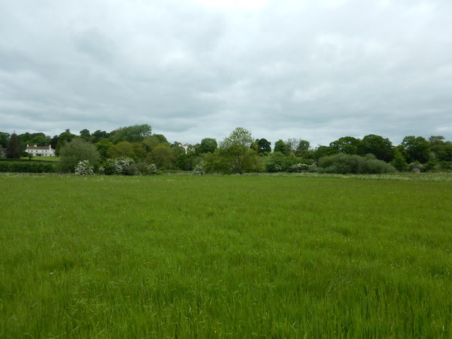
The downs of Merley Park offer sweeping views of the surrounding countryside, with rolling hills and lush green fields stretching as far as the eye can see. These grassy uplands provide an ideal setting for leisurely walks and picnics, allowing visitors to immerse themselves in the serenity of nature.

In contrast, the moorland of Merley Park presents a more rugged and wild terrain. Here, visitors can discover an array of heather-covered hills, scattered with ancient stone formations and meandering streams. This unique landscape provides a haven for a variety of wildlife, including birds, mammals, and reptiles, making it a popular spot for nature enthusiasts and wildlife photographers.

For those seeking outdoor activities, Merley Park offers a range of options. The downs provide excellent opportunities for hiking and cycling, with well-marked trails that cater to all skill levels. The moorland, on the other hand, is perfect for birdwatching and nature walks, allowing visitors to observe rare species in their natural habitat.

Overall, Merley Park in Dorset is a haven for nature lovers, offering a diverse range of landscapes to explore. Whether you are seeking a peaceful retreat or an active outdoor adventure, this beautiful area has something to offer everyone.

If you have any feedback on the listing, please let us know in the comments section below.
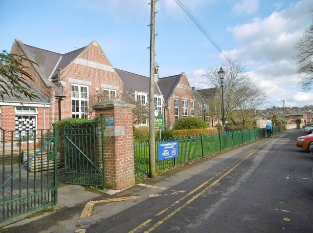
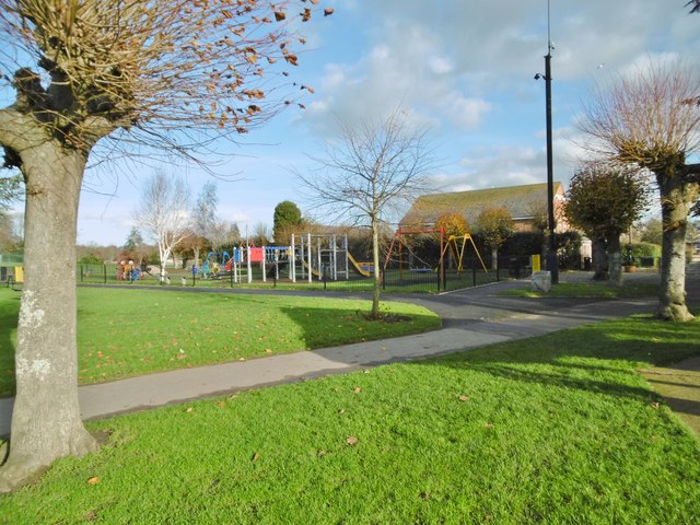
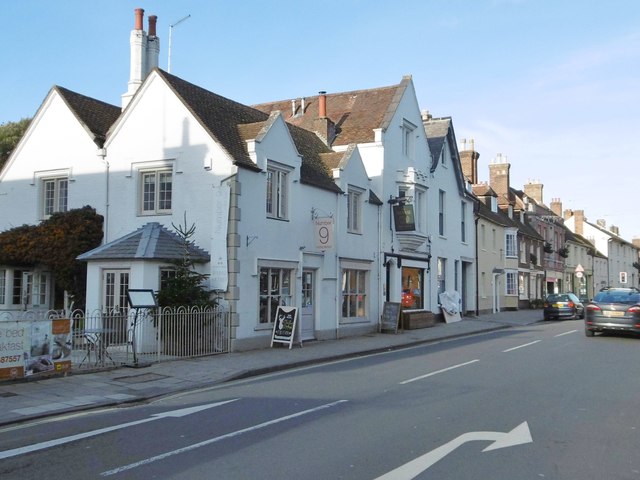
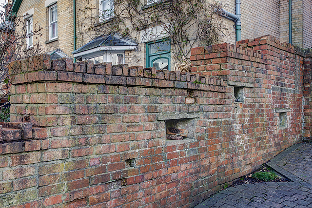
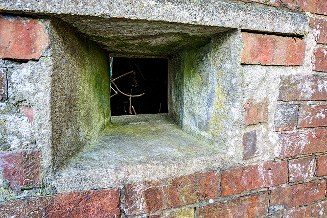
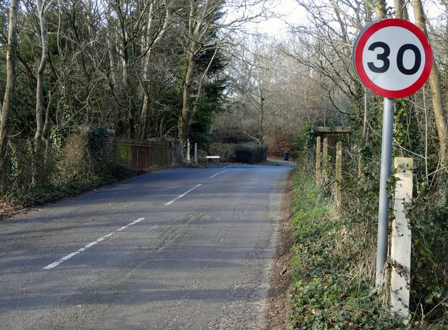
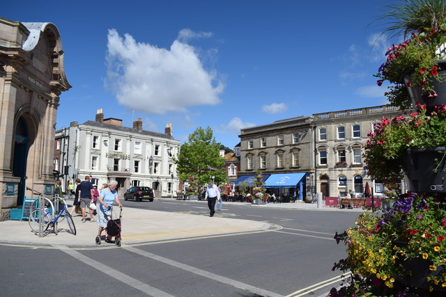
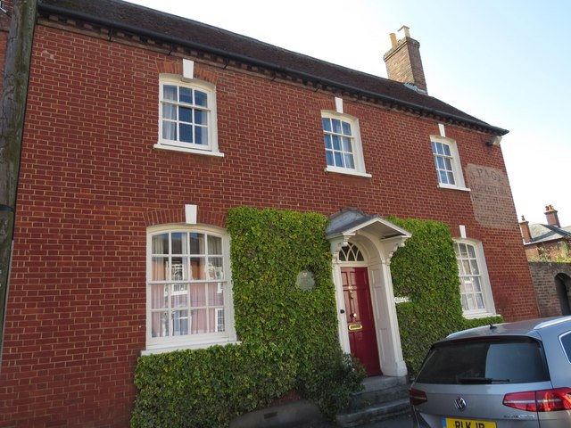
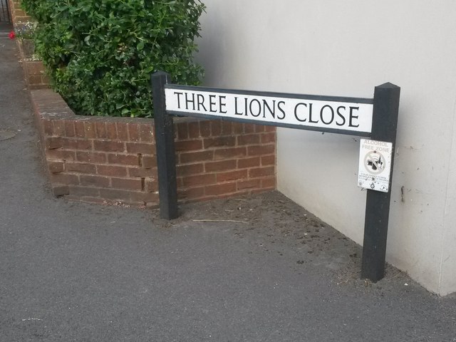
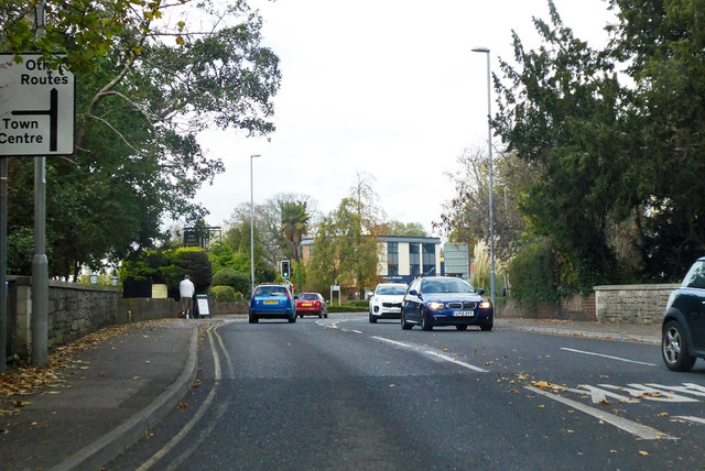
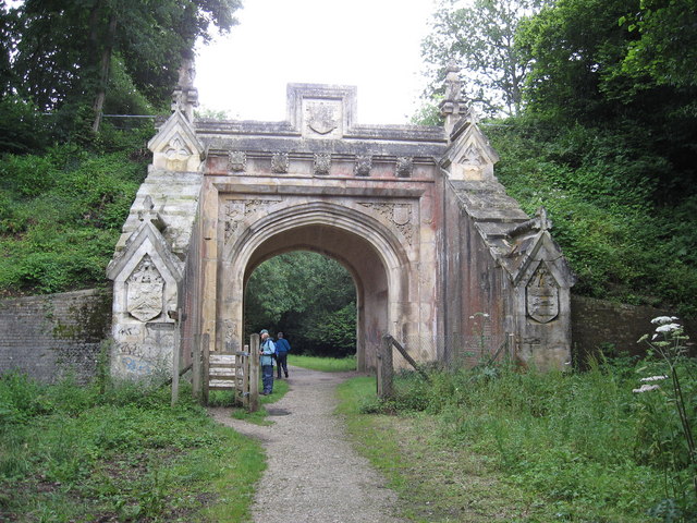
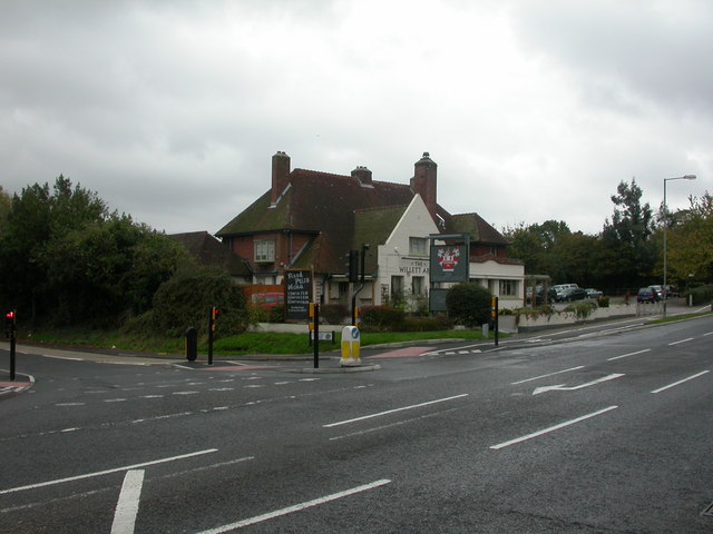
Merley Park Images

Images are sourced within 2km of 50.787006/-1.9846841 or Grid Reference SZ0198. Thanks to Geograph Open Source API. All images are credited.

Wimborne First School On School Lane, in a building dated 1911.
Wimborne First School
On School Lane, in a building dated 1911.
Wimborne, play area On Redcotts Recreation Ground, at the end of School Lane.
Wimborne, play area
On Redcotts Recreation Ground, at the end of School Lane.
Wimborne, Taphouse The latest addition to Wimborne's pub scene, opened in 2013 on West Borough. Straight bar to right, drinking front, left and back; simple decor with bare brick and wooden panelling, background music. Cask ales on offer at my visit: six, served on gravity, including two from the local Six Arch Brewery. <span class="nowrap"><a title="http://whatpub.com/pubs/SED/72/taphouse-wimborne" rel="nofollow ugc noopener" href="http://whatpub.com/pubs/SED/72/taphouse-wimborne">Link</a><img style="margin-left:2px;" alt="External link" title="External link - shift click to open in new window" src="https://s1.geograph.org.uk/img/external.png" width="10" height="10"/></span>
Wimborne, Taphouse
The latest addition to Wimborne's pub scene, opened in 2013 on West Borough. Straight bar to right, drinking front, left and back; simple decor with bare brick and wooden panelling, background music. Cask ales on offer at my visit: six, served on gravity, including two from the local Six Arch Brewery. LinkExternal link
Defending Dorset in 1940: Wimborne Anti-tank Island (1) -
Loopholed wall: DoB ID: e25267

Wimborne - West Borough - Loopholed Wall.  The only surviving structure in Wimborne of the town's defences when it was designated an anti-tank island in 1940. This loopholed wall between two properties in West Borough was built to bring fire to bear on the approach road from the crossing of the River Allen to the north. The house directly opposite (the Old Saddlery) on the other side of the road was also requisitioned at the time, and handed over to the Home Guard to be used as a defended house. The second floor with its tiny north-facing window overlooking the street, may have served as a discreet observation post.

<a href="https://www.geograph.org.uk/photo/4842582">SU0000 : Defending Dorset in 1940: Wimborne Anti-tank Island (2)</a>
Defending Dorset in 1940: Wimborne Anti-tank Island (1)
- Loopholed wall: DoB ID: e25267 Wimborne - West Borough - Loopholed Wall. The only surviving structure in Wimborne of the town's defences when it was designated an anti-tank island in 1940. This loopholed wall between two properties in West Borough was built to bring fire to bear on the approach road from the crossing of the River Allen to the north. The house directly opposite (the Old Saddlery) on the other side of the road was also requisitioned at the time, and handed over to the Home Guard to be used as a defended house. The second floor with its tiny north-facing window overlooking the street, may have served as a discreet observation post. SU0000 : Defending Dorset in 1940: Wimborne Anti-tank Island (2)
Defending Dorset in 1940: Wimborne Anti-tank Island (2) -
Loopholed wall: DoB ID: e25267

Wimborne - West Borough - Loopholed Wall.  A close-up of one of the three gunloops. Note that the construction of the aperture has been angled to the left of the photo and towards the direction of the perceived threat - the street outside.

<a href="https://www.geograph.org.uk/photo/4842581">SU0000 : Defending Dorset in 1940: Wimborne Anti-tank Island (1)</a>
Defending Dorset in 1940: Wimborne Anti-tank Island (2)
- Loopholed wall: DoB ID: e25267 Wimborne - West Borough - Loopholed Wall. A close-up of one of the three gunloops. Note that the construction of the aperture has been angled to the left of the photo and towards the direction of the perceived threat - the street outside. SU0000 : Defending Dorset in 1940: Wimborne Anti-tank Island (1)
Northleigh Lane The bridge over the old Southampton & Dorchester Railway on Northleigh Lane, saw its last passenger trains in 1964 and freight in 1974.
Northleigh Lane
The bridge over the old Southampton & Dorchester Railway on Northleigh Lane, saw its last passenger trains in 1964 and freight in 1974.
Netherwood Mead towards the River Stour
The Square, Wimborne View across The Square towards The King's Head.
The Square, Wimborne
View across The Square towards The King's Head.
Isaac Gulliver's house, Wimborne Gulliver was a notorious smuggler based on the south coast of England during the 18th and 19th centuries.
Isaac Gulliver's house, Wimborne
Gulliver was a notorious smuggler based on the south coast of England during the 18th and 19th centuries.
Wimborne Minster: ...but not close enough Pictured about 10 minutes after kick-off of the World Cup semi-final between England and Croatia, which England would lose 2-1 after extra time.

Three Lions Close is a modern development of infill housing around the back of the pub on the corner of West Street and Victoria Road, currently called the Minster Arms. The name has nothing to do with the England football team: the pub was previously known as the Pudding and Pye, before that the Pye Corner (the name of the junction), and originally the Three Lions, hence the name of the close.

See <a href="https://www.geograph.org.uk/photo/2785664">SU0000 : Wimborne, The Pudding and Pye</a> for the pub in its Pudding & Pye guise (in 2012), and
<a href="https://www.geograph.org.uk/photo/334906">SU0000 : Pye Corner</a> when it was the Pye Corner (2007).
Wimborne Minster: ...but not close enough
Pictured about 10 minutes after kick-off of the World Cup semi-final between England and Croatia, which England would lose 2-1 after extra time. Three Lions Close is a modern development of infill housing around the back of the pub on the corner of West Street and Victoria Road, currently called the Minster Arms. The name has nothing to do with the England football team: the pub was previously known as the Pudding and Pye, before that the Pye Corner (the name of the junction), and originally the Three Lions, hence the name of the close. See SU0000 : Wimborne, The Pudding and Pye for the pub in its Pudding & Pye guise (in 2012), and SU0000 : Pye Corner when it was the Pye Corner (2007).
Hanham Road, Wimborne Minster
B3078 West Borough, Wimborne Minster Heading north out of town.
B3078 West Borough, Wimborne Minster
Heading north out of town.
The Albion Inn, 19 High Street, Wimborne Minster Grade II Listed 18th century inn. A plaque on the wall reads 'THE ALBION INN Town's oldest surviving licensed house. Formerly THE NEW INN, a 17th century coaching halt. In 1834 the Tolpuddle Martyrs stopped here en route to transportation to Australia as convicts.' It has housed the magistrates’ court, a school house and reputedly was once a place of refreshment for King George III as he travelled to Weymouth. The 1777 refers to the establishment of Hall and Woodhouse Brewery. Searching my directories produces a confused picture. In 1842-1844 we have Edward White Bowles (& posting house), New Inn, High Street. In the 1850s two New Inns are listed, interestingly under 'Taverns & Public Houses' not 'Inns'. One is at 'Hill butts' that I'm ignoring but otherwise; 1851 Winter Lamiman, New Inn, Stocks; 1852 not listed with just the 'Bell' and 'Greyhound' in High Street; 1855 C Bagg, New Inn, Holt. By 1859 it is listed again in High Street and by 1889 as the Albion; 1859 Henry Braine, New Inn; 1889 Tom Coombs, Albion; 1895 Albion no victualler given; 1911-1915 Mrs A M Meek, Albion. Was the New Inn, apparently in a location named 'Holt' or 'Stocks', another pub and this one closed? I can't locate a Holt or Stocks on the Wimborne maps I have access to.
The Albion Inn, 19 High Street, Wimborne Minster
Grade II Listed 18th century inn. A plaque on the wall reads 'THE ALBION INN Town's oldest surviving licensed house. Formerly THE NEW INN, a 17th century coaching halt. In 1834 the Tolpuddle Martyrs stopped here en route to transportation to Australia as convicts.' It has housed the magistrates’ court, a school house and reputedly was once a place of refreshment for King George III as he travelled to Weymouth. The 1777 refers to the establishment of Hall and Woodhouse Brewery. Searching my directories produces a confused picture. In 1842-1844 we have Edward White Bowles (& posting house), New Inn, High Street. In the 1850s two New Inns are listed, interestingly under 'Taverns & Public Houses' not 'Inns'. One is at 'Hill butts' that I'm ignoring but otherwise; 1851 Winter Lamiman, New Inn, Stocks; 1852 not listed with just the 'Bell' and 'Greyhound' in High Street; 1855 C Bagg, New Inn, Holt. By 1859 it is listed again in High Street and by 1889 as the Albion; 1859 Henry Braine, New Inn; 1889 Tom Coombs, Albion; 1895 Albion no victualler given; 1911-1915 Mrs A M Meek, Albion. Was the New Inn, apparently in a location named 'Holt' or 'Stocks', another pub and this one closed? I can't locate a Holt or Stocks on the Wimborne maps I have access to.
Old Toll House by West Borough, Wimborne Minster Toll House by the B3078, in the parish of Wimborne Minster (East Dorset District), Nos. 46-49, (GR II listed as No.63) West Borough. The centre section with the bay windows is believed to have been the toll house.

Grade II listed.
List Entry Number: 1304037 <span class="nowrap"><a title="https://historicengland.org.uk/listing/the-list/list-entry/1304037" rel="nofollow ugc noopener" href="https://historicengland.org.uk/listing/the-list/list-entry/1304037">Link</a><img style="margin-left:2px;" alt="External link" title="External link - shift click to open in new window" src="https://s1.geograph.org.uk/img/external.png" width="10" height="10"/></span>

Surveyed

Milestone Society National ID: DO.WIM02
Old Toll House by West Borough, Wimborne Minster
Toll House by the B3078, in the parish of Wimborne Minster (East Dorset District), Nos. 46-49, (GR II listed as No.63) West Borough. The centre section with the bay windows is believed to have been the toll house. Grade II listed. List Entry Number: 1304037 LinkExternal link Surveyed Milestone Society National ID: DO.WIM02
The Square, Wimborne Minster
West Borough, from the Square, Wimborne Minster
The King's Head, Wimborne Minster
River Allen from Hanham Road bridge
Show me another place!

Merley Park is located at Grid Ref: SZ0198 (Lat: 50.787006, Lng: -1.9846841)

Unitary Authority: Bournemouth, Christchurch and Poole

Police Authority: Dorset

What 3 Words

///metro.finishing.formal. Near Wimborne Minster, Dorset

Related Wikis

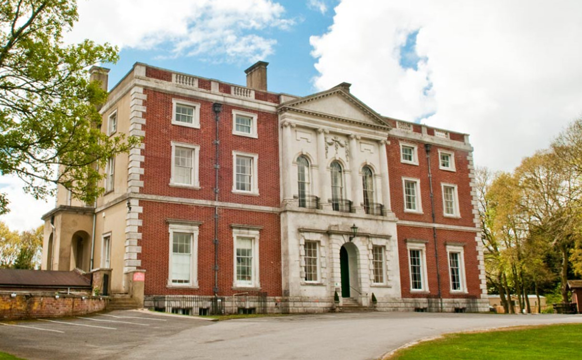
Merley House, Wimborne

Merley House in Wimborne, Dorset, England, is a building of historical significance and is Grade I listed on the English Heritage Register. It was built...

River Allen, Dorset

The River Allen is a river in the county of Dorset in South West England. It flows for 14 miles (23 km) to its confluence with the River Stour immediately...

Lady Wimborne Bridge

The Lady Wimborne Bridge (London and South Western Railway Bridge 77) is a former railway bridge built in 1853, and now a listed building. Its highly ornate...

Oakley, Dorset

Oakley is a village community in Dorset, England. Sitting just south of the River Stour it borders the suburb of Merley and the village of Canford Magna...

Related Videos

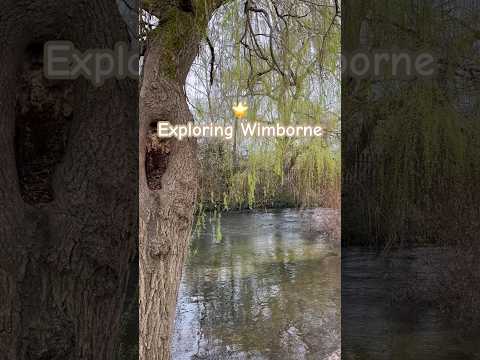
Wimborne | UK Hiking

Our first ever Vlog (be gentle) sees us walk around the beautiful Wimborne countryside and into this lovely little town. Despite the ...

WALKS IN DORSET at WIMBORNE MINSTER (& ALONG THE RIVER STOUR) (4K)

In this episode of my series “ Walks in Dorset”, I take a 6 mile circular walk from Wimborne Minster to Canford Magna & back.

Nearby Amenities

Located within 500m of 50.787006,-1.9846841
Barrier: kissing_gate
Lat/Long: 50.7907681/-1.9829784
Merley Court Touring Park
Addr Postcode: BH21 3AA
Contact Phone: +44 1590 648331
Internet Access: wlan
Internet Access Fee: no
Operator: Shorefield Holidays
Source: ACSI
Tourism: camp_site
Wheelchair: yes
Lat/Long: 50.7858681/-1.9854489
Material: wood
Power: pole
Source: bing
Lat/Long: 50.7892141/-1.9905594
Material: wood
Power: pole
Source: bing
Lat/Long: 50.7894179/-1.9886856
Material: wood
Power: pole
Source: bing
Lat/Long: 50.789613/-1.9868692
Material: wood
Power: pole
Source: bing
Lat/Long: 50.7900654/-1.9852631
Material: wood
Power: pole
Source: bing
Lat/Long: 50.790428/-1.9839985
Material: wood
Power: pole
Source: bing
Lat/Long: 50.7906853/-1.9830807
Access: customers
Barrier: lift_gate
Lat/Long: 50.7855807/-1.9847565
Access: customers
Barrier: lift_gate
Lat/Long: 50.7854908/-1.984952
Fountain
Lat/Long: 50.7856364/-1.9851355
Fire Hydrant
Emergency: fire_hydrant
Fire Hydrant Position: green
Fire Hydrant Type: pillar
Lat/Long: 50.7846673/-1.9851713
Leisure: playground
Lat/Long: 50.7852794/-1.9848092
Camp Site: reception
Entrance: main
Shop: convenience
Lat/Long: 50.7854829/-1.9852896
Access: customers
Shop: laundry
Lat/Long: 50.7852403/-1.98403
Generator Method: photovoltaic
Generator Output Electricity: yes
Generator Source: solar
Generator Type: solar_photovoltaic_panel
Location: roof
Power: generator
Lat/Long: 50.78853/-1.9804172
Barrier: kissing_gate
Foot: yes
Lat/Long: 50.7900302/-1.9869535
The data included in this document is from www.openstreetmap.org. The data is made available under ODbL.

Have you been to Merley Park?

Leave your review of Merley Park below (or comments, questions and feedback).