Cortie Brae

Downs, Moorland in Aberdeenshire

Scotland

Cortie Brae

Minor road near Rathen
Minor road near Rathen Credit: Steven Brown

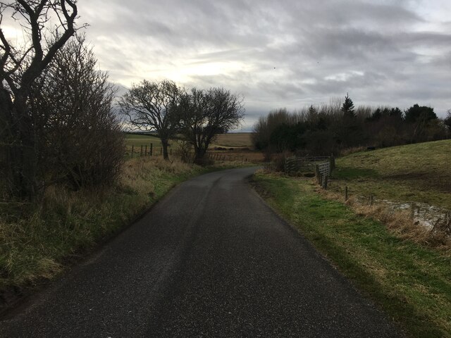
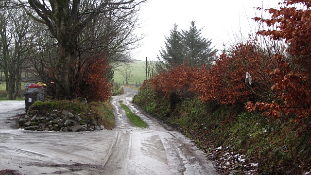
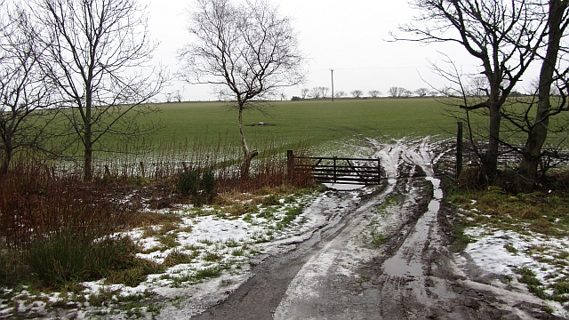
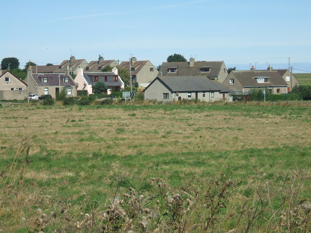
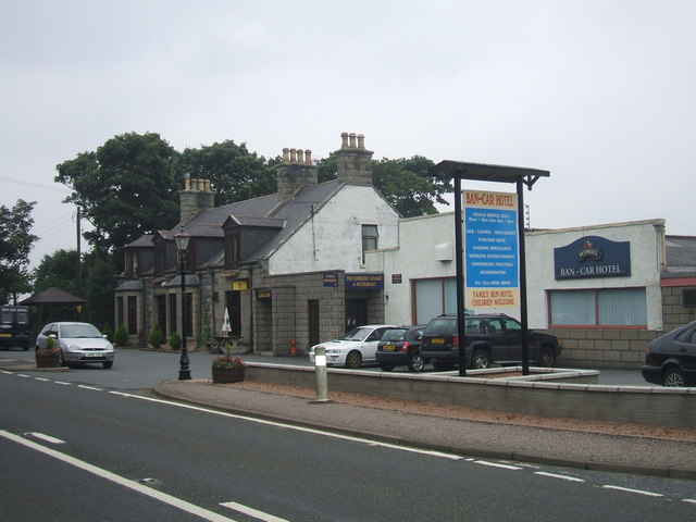
Cortie Brae is a picturesque area located in Aberdeenshire, Scotland. Situated among beautiful downs and moorland, it offers visitors a stunning natural landscape to explore and enjoy. The area is known for its rolling hills, heather-covered moors, and breathtaking views.

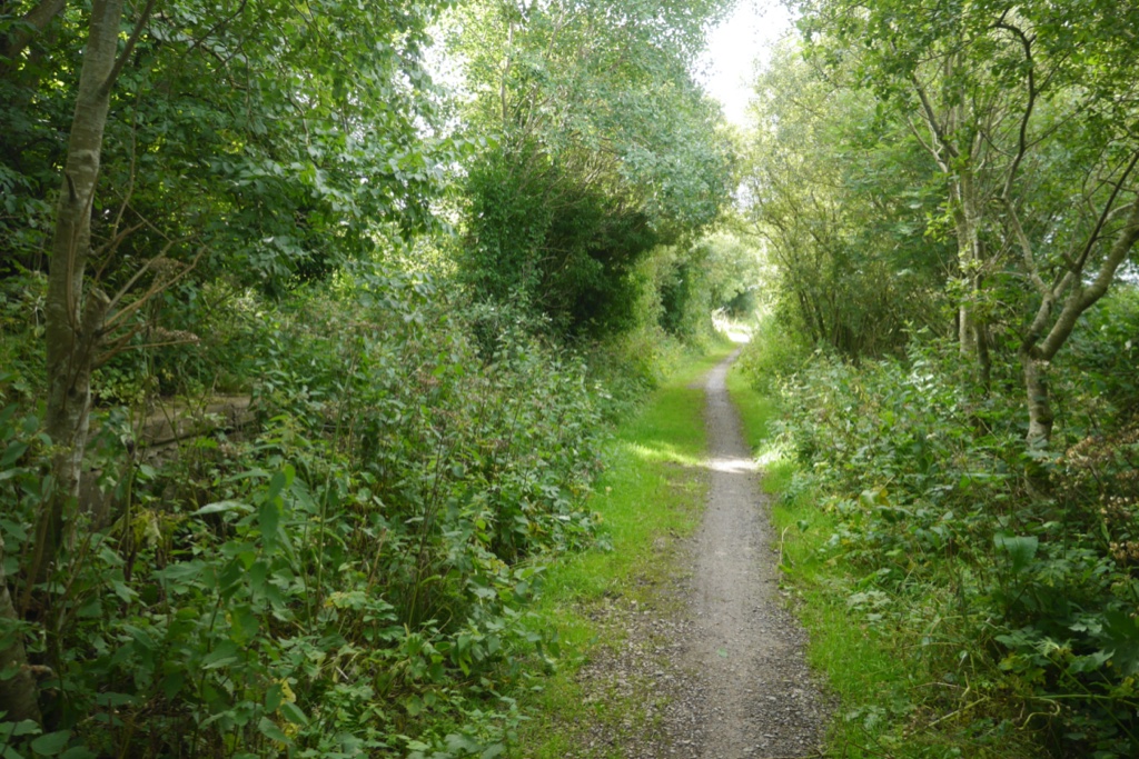
Covering a vast expanse, Cortie Brae is an ideal destination for hikers and nature lovers. The terrain is diverse, with gentle slopes and more challenging inclines, providing opportunities for both leisurely walks and more adventurous treks. On the downs, visitors can marvel at the panoramic views of the surrounding countryside, while the moorland offers a tranquil escape from the bustling city life.

The area is home to a rich variety of wildlife, including birds, small mammals, and even some rare species. Birdwatchers will be delighted to spot a range of species, from the majestic golden eagle to the elusive black grouse. The moorland also supports a diverse ecosystem of plants and flowers, with vibrant heather carpets painting the landscape in shades of purple during the summer months.

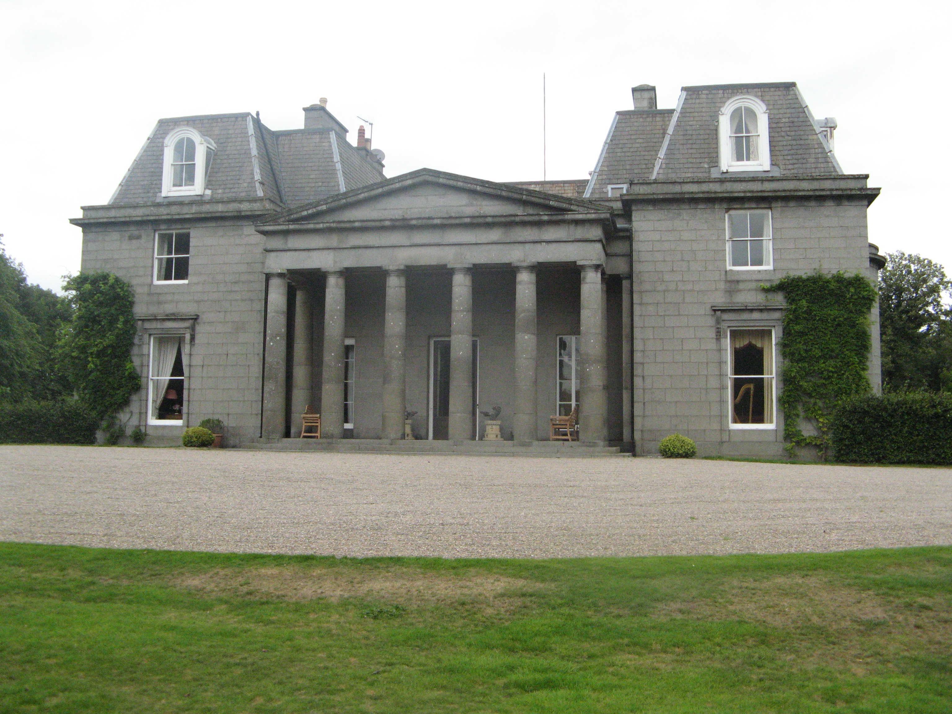
Cortie Brae is not only a haven for nature enthusiasts but also a place of historical significance. Archaeological sites and ancient ruins can be found scattered throughout the area, offering a glimpse into the region's past.

Whether you are seeking a peaceful retreat, a chance to immerse yourself in nature, or a journey into history, Cortie Brae in Aberdeenshire is a must-visit destination.

If you have any feedback on the listing, please let us know in the comments section below.
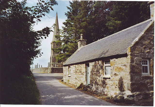
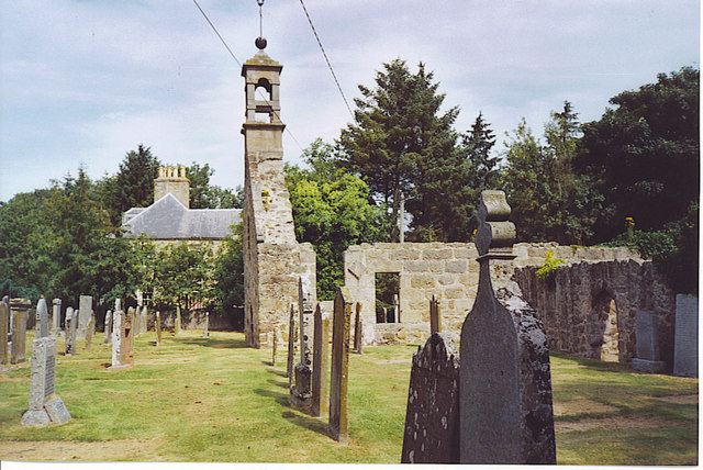
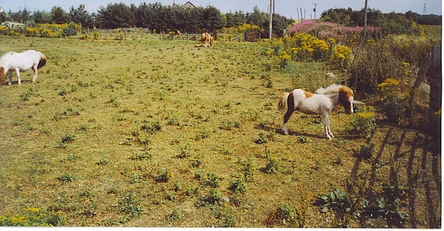
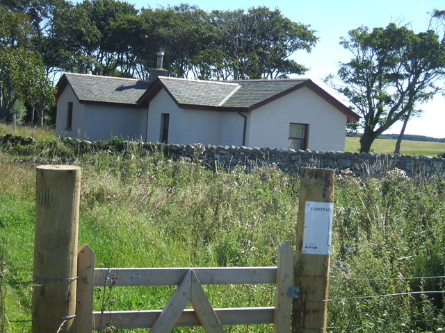
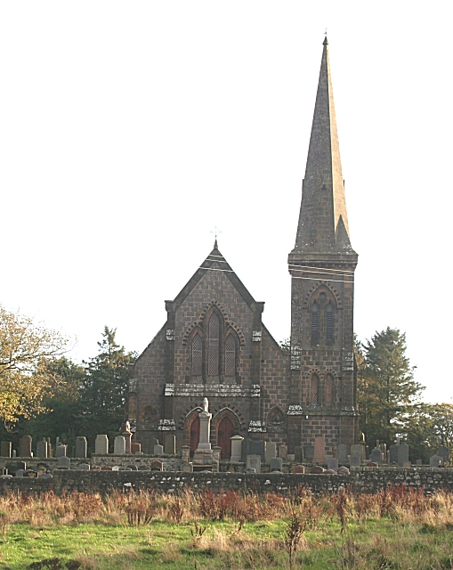
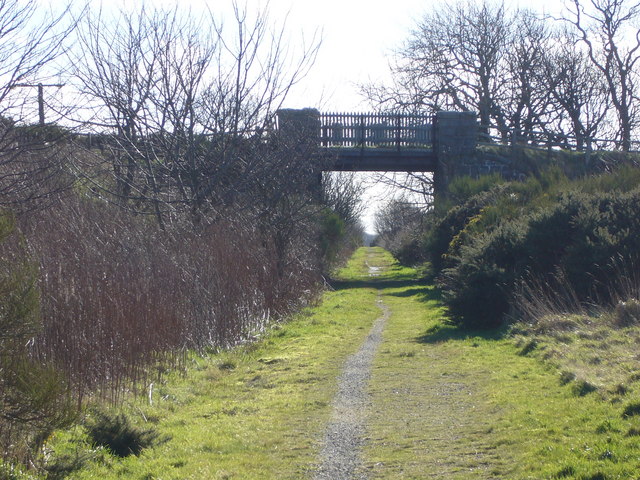
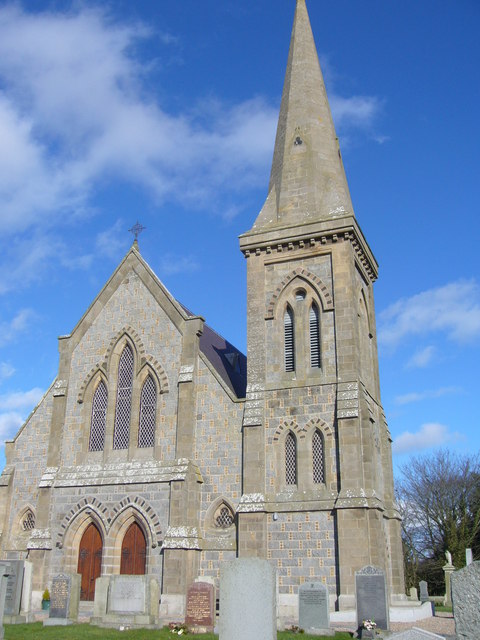
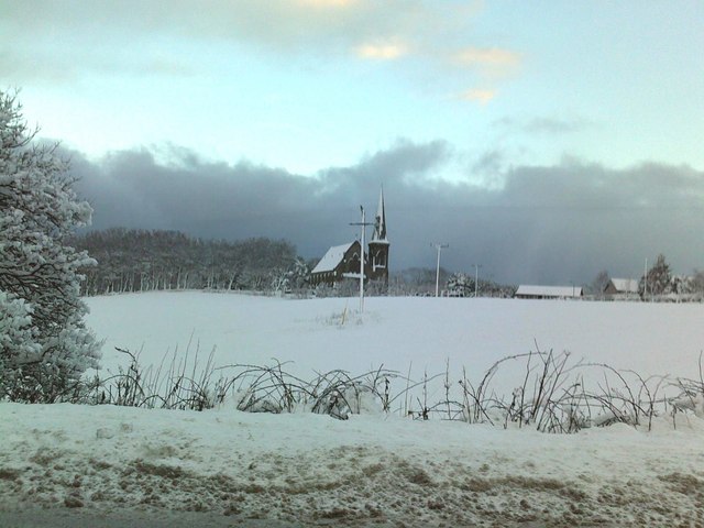
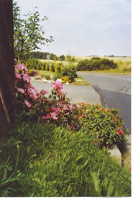
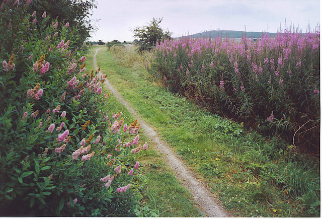
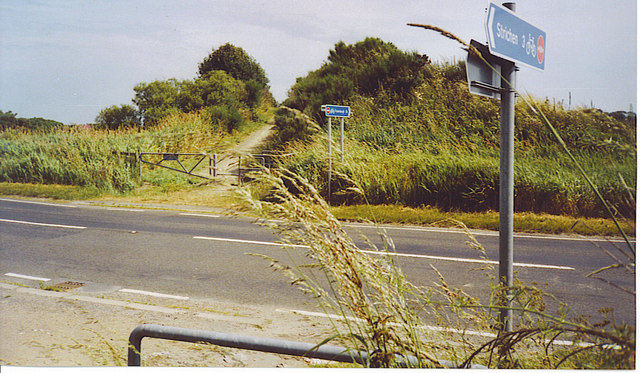
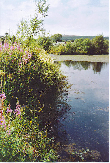
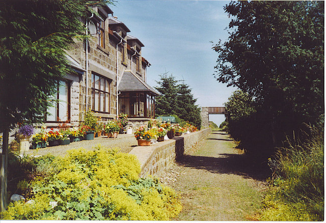
Cortie Brae Images

Images are sourced within 2km of 57.623496/-1.9844997 or Grid Reference NK0159. Thanks to Geograph Open Source API. All images are credited.

Minor road near Rathen
Lane, Rathen Access to outlying residential properties with a hopelessly iced up car park on the left.
Lane, Rathen
Access to outlying residential properties with a hopelessly iced up car park on the left.
Field entrance, south of Rathen During a thaw and at the start of a warm spell the snow has gone, save for icy strips where it was compacted by agricultural vehicles.
Field entrance, south of Rathen
During a thaw and at the start of a warm spell the snow has gone, save for icy strips where it was compacted by agricultural vehicles.
Rathen Primary School and Village Hall This small Buchan village was originally a farming community and most of its old buildings built of granite. The local Peterhead granite is pink.
Rathen Primary School and Village Hall
This small Buchan village was originally a farming community and most of its old buildings built of granite. The local Peterhead granite is pink.
Rathen, West Kirk The spire dominates the village and immediate vicinity. The Gothic style kirk dates from 1870 and replaced the older, ruined one, to the east. Beside the church is a derelict but'n'ben, an old single-storey, two-roomed cottage built of granite.
Rathen, West Kirk
The spire dominates the village and immediate vicinity. The Gothic style kirk dates from 1870 and replaced the older, ruined one, to the east. Beside the church is a derelict but'n'ben, an old single-storey, two-roomed cottage built of granite.
Rathen, Old Kirk The ruined St Ethernan's sits beside the modern Rathen West Kirk. Some of the remains are pre-Reformation when its patron was Alexander Fraser of Philorth (Philorth established the planned town of Fraserburgh). Behind the ruined kirk is Rathen House.
Rathen, Old Kirk
The ruined St Ethernan's sits beside the modern Rathen West Kirk. Some of the remains are pre-Reformation when its patron was Alexander Fraser of Philorth (Philorth established the planned town of Fraserburgh). Behind the ruined kirk is Rathen House.
In Rathen Scrubby field on the edge of the village. The roofs of scattered new cottages are visible above the trees. The ground is very dry due to the long, dry spell.
In Rathen
Scrubby field on the edge of the village. The roofs of scattered new cottages are visible above the trees. The ground is very dry due to the long, dry spell.
'Lodge' house adjacent to Buchan Line on a minor road / old rail line crossing point
'Lodge' house adjacent to Buchan Line
on a minor road / old rail line crossing point
Rathen Kirk This is the 19th century kirk which replaced an older one, now in ruins.
Rathen Kirk
This is the 19th century kirk which replaced an older one, now in ruins.
Disused railway Now the Formartine and Buchan Way cyclepath
Disused railway
Now the Formartine and Buchan Way cyclepath
Kirk at Rathen
Kirk at Rathen
Rathen Church after the snow
The Edge of Rathen This small village has a mix of old and new cottages. Rathen is connected to the main A92 by the minor road above. Some of the gardens, like this one, stretch to the road verges. Beyond are some of the large cereal fields of Buchan, a very rich farming area.
The Edge of Rathen
This small village has a mix of old and new cottages. Rathen is connected to the main A92 by the minor road above. Some of the gardens, like this one, stretch to the road verges. Beyond are some of the large cereal fields of Buchan, a very rich farming area.
Lonmay, Old Formartine & Buchan Railway Lonmay once had a station on the Maud - Fraserburgh railway which was opened in 1965. Lonmay also has potatoes named after it eg Lonmay Pinks, which reflects well on this farming area in Buchan.
Lonmay, Old Formartine & Buchan Railway
Lonmay once had a station on the Maud - Fraserburgh railway which was opened in 1965. Lonmay also has potatoes named after it eg Lonmay Pinks, which reflects well on this farming area in Buchan.
A92 Crossing with the F&B Way A railway bridge once crossed this road, but today the Formartine 7 Buchan Way descends to ground level. The road is busy with refrigerated fish lorries thundering south from Fraserburgh ("The Broch") to the large UK cities and to France.
A92 Crossing with the F&B Way
A railway bridge once crossed this road, but today the Formartine 7 Buchan Way descends to ground level. The road is busy with refrigerated fish lorries thundering south from Fraserburgh ("The Broch") to the large UK cities and to France.
Pond on the F&B Way This attractive pond is by Kilbirnie Farm, on the Formartine & Buchan Way, west of Lonmay. Water lilies cover the far end of the water while fireweed coats the bank by the old railway line.
Pond on the F&B Way
This attractive pond is by Kilbirnie Farm, on the Formartine & Buchan Way, west of Lonmay. Water lilies cover the far end of the water while fireweed coats the bank by the old railway line.
Lonmay village view from Buchan Line. Lonmay is a fairly scattered community, rather than a unified village, with clumps of housing in about 4 sites. Historical claim to fame - Elvis Presley's ancestor emigrated from this area
Lonmay village
view from Buchan Line. Lonmay is a fairly scattered community, rather than a unified village, with clumps of housing in about 4 sites. Historical claim to fame - Elvis Presley's ancestor emigrated from this area
Ban Car Hotel, Lonmay Small country hotel on Peterhead to Fraserburgh road. Large function area which is popular for local weddings.
Ban Car Hotel, Lonmay
Small country hotel on Peterhead to Fraserburgh road. Large function area which is popular for local weddings.
Show me another place!

Cortie Brae is located at Grid Ref: NK0159 (Lat: 57.623496, Lng: -1.9844997)

Unitary Authority: Aberdeenshire

Police Authority: North East

What 3 Words

///parent.going.pixel. Near Fraserburgh, Aberdeenshire

Nearby Locations

Cortes Village Cortie Brae

Related Wikis

Cortes, Aberdeenshire

Cortes is a rural settlement in the Banff and Buchan area of Aberdeenshire, Scotland, situated in the parish of Rathen, 7.8 kilometres (4.8 mi) south of...

Lonmay railway station

Lonmay railway station was a railway station in Lonmay, Aberdeenshire. == History == The station was opened on 24 April 1865 by the Formartine and Buchan...

Lonmay

Lonmay (Scottish Gaelic: Lòn Magh) is a village and parish in the Buchan area of Aberdeenshire, Scotland. It lies along the A90 road, between Peterhead...

Rathen, Aberdeenshire

Rathen is a parish and hamlet near Fraserburgh, Aberdeenshire, Scotland. In Scottish Gaelic, its name means fort on the river.On the coast is Cairnbulg...

Crimonmogate

Crimonmogate is an estate near Crimond, Aberdeenshire. The estate formed part of Lonmay parish, dates back to the 14th century, and was included in the...

Rathen railway station

Rathen railway station was a railway station in Rathen, Aberdeenshire, on the defunct Formartine and Buchan Railway in northeast Scotland. == History... ==

Cairness House

Cairness House, 4.5 miles (7 km) south-east of Fraserburgh in Buchan in the county of Aberdeenshire, is a country house built in the Neoclassical style...

Mormond Halt railway station

Mormond Halt railway station was a railway station near New Leeds, Aberdeenshire. == History == The station was opened as Mormond on 24 April 1865. It...

Nearby Amenities

Located within 500m of 57.623496,-1.9844997
Power: pole
Lat/Long: 57.6199374/-1.9868842
Power: pole
Lat/Long: 57.6205272/-1.9866885
Power: pole
Lat/Long: 57.6212606/-1.9864452
Power: pole
Lat/Long: 57.6220428/-1.9861858
Power: pole
Lat/Long: 57.6226518/-1.9855522
Power: pole
Lat/Long: 57.6231365/-1.9850406
Power: pole
Lat/Long: 57.6234378/-1.9847297
Power: pole
Lat/Long: 57.6240627/-1.9841905
Power: pole
Lat/Long: 57.6247064/-1.9836396
Power: pole
Lat/Long: 57.6252817/-1.9828289
Power: pole
Lat/Long: 57.6258201/-1.982087
Power: pole
Lat/Long: 57.6262637/-1.9814613
Power: pole
Lat/Long: 57.6267051/-1.9808494
Power: pole
Lat/Long: 57.6272414/-1.9801311
Power: pole
Lat/Long: 57.6236149/-1.9859575
Power: pole
Lat/Long: 57.6237719/-1.9870476
Power: pole
Lat/Long: 57.6242186/-1.9864848
Power: pole
Lat/Long: 57.6233146/-1.9875789
Power: pole
Lat/Long: 57.6228415/-1.9881239
Power: pole
Lat/Long: 57.6224959/-1.9771442
Power: pole
Lat/Long: 57.6225917/-1.9781379
Power: pole
Lat/Long: 57.6226813/-1.9791079
Power: pole
Lat/Long: 57.6227846/-1.9801725
Power: pole
Lat/Long: 57.62295/-1.9812823
Power: pole
Lat/Long: 57.623107/-1.9824176
Power: pole
Lat/Long: 57.6232735/-1.983551
Bus Stop
Spillars Bridge
Bus: yes
Naptan AtcoCode: 630020882
Naptan Bearing: SE
Naptan CommonName: Spillars Bridge
Naptan Indicator: before
Naptan NaptanCode: 23627384
Naptan Street: A90
Naptan Verified: no
Public Transport: platform
Source: naptan;bing;naptan_compare_tool
Lat/Long: 57.6214816/-1.9795543
Bus Stop
Spillars Bridge
Bus: yes
Naptan AtcoCode: 630026141
Naptan Bearing: NW
Naptan CommonName: Spillars Bridge
Naptan Indicator: opp
Naptan NaptanCode: 23627959
Naptan Street: A90
Naptan Verified: no
Public Transport: platform
Source: naptan;bing;naptan_compare_tool
Lat/Long: 57.6211427/-1.9789416
The data included in this document is from www.openstreetmap.org. The data is made available under ODbL.

Have you been to Cortie Brae?

Leave your review of Cortie Brae below (or comments, questions and feedback).