Woodminton Down
Downs, Moorland in Wiltshire
England
Woodminton Down

Woodminton Down is a vast area of downs and moorland located in the county of Wiltshire, England. Covering an expansive area of approximately 1,500 hectares, it is a designated Area of Outstanding Natural Beauty (AONB) due to its stunning landscape and rich biodiversity.
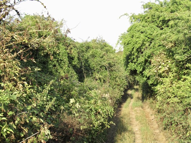
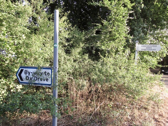
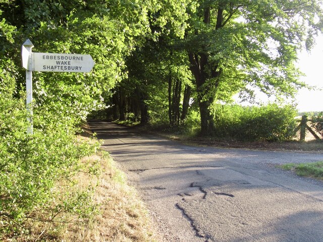
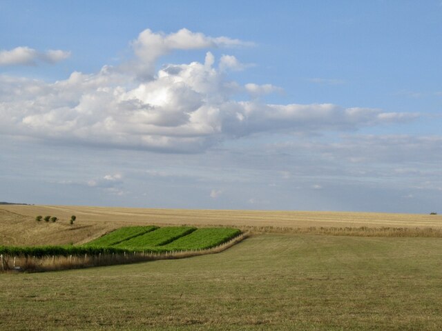
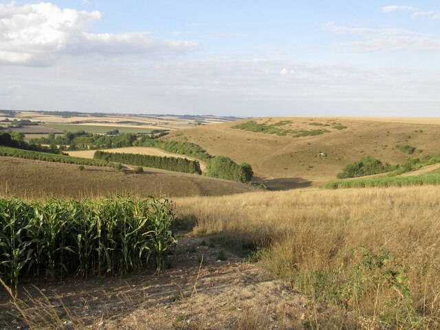
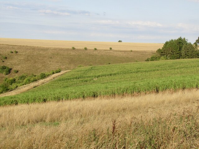
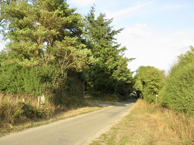
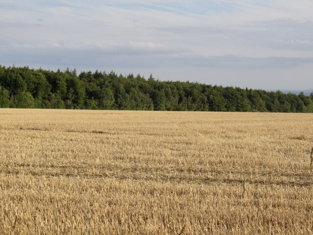
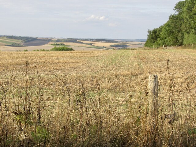
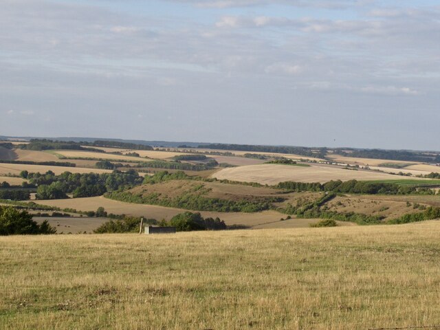
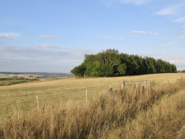
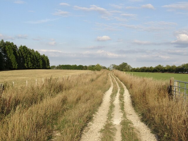
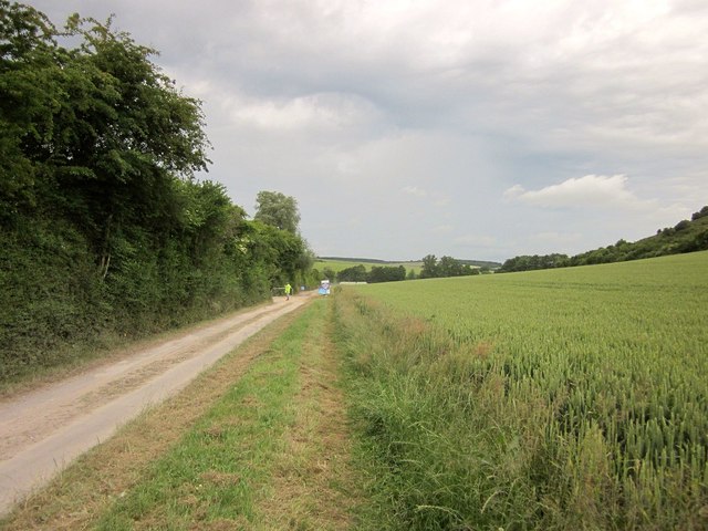
The downland terrain of Woodminton Down is characterized by rolling hills and wide open spaces, providing visitors with breathtaking panoramic views of the surrounding countryside. The area is known for its extensive network of footpaths and bridleways, making it a popular destination for outdoor enthusiasts, hikers, and cyclists.
The moorland within Woodminton Down is dominated by heather and gorse, creating a distinctive purple and yellow patchwork throughout the landscape. This vibrant vegetation provides a crucial habitat for a variety of wildlife, including rare bird species such as the Dartford warbler and stonechat.
In addition to its natural beauty, Woodminton Down also boasts a fascinating cultural heritage. The area is dotted with ancient burial mounds and prehistoric earthworks, reflecting its long history of human occupation. Visitors can explore these archaeological sites and gain insight into the lives of the people who once called this area home.
Woodminton Down offers a peaceful and tranquil setting, perfect for those seeking to escape the hustle and bustle of modern life. Whether you are a nature lover, history enthusiast, or simply looking for a picturesque location, Woodminton Down is a must-visit destination in Wiltshire.
If you have any feedback on the listing, please let us know in the comments section below.
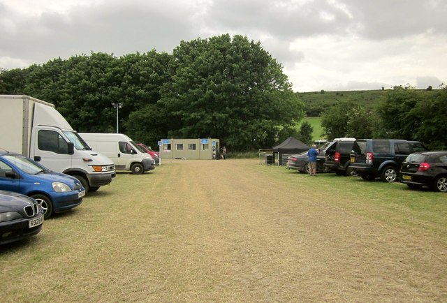
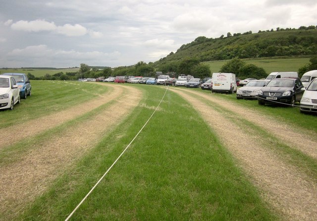
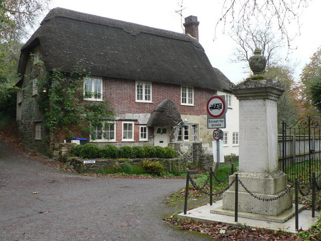
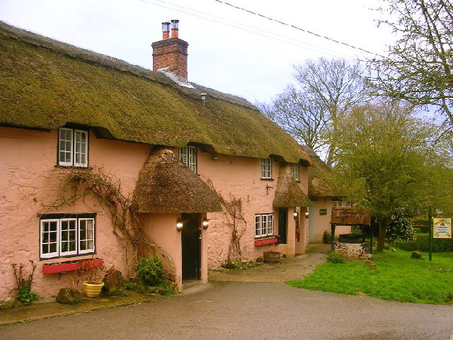
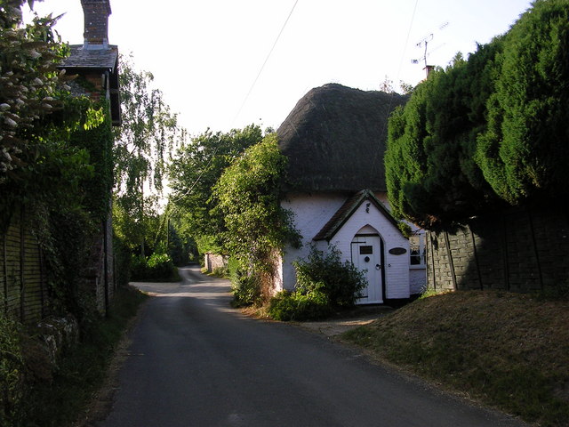
Woodminton Down Images
Images are sourced within 2km of 50.994255/-1.9986239 or Grid Reference SU0021. Thanks to Geograph Open Source API. All images are credited.


Woodminton Down is located at Grid Ref: SU0021 (Lat: 50.994255, Lng: -1.9986239)
Unitary Authority: Wiltshire
Police Authority: Wiltshire
What 3 Words
///dreams.radically.happily. Near Bower Chalke, Wiltshire
Nearby Locations
Related Wikis

Bowerchalke Downs
Bowerchalke Downs (grid reference SU004218) (also known as Woodminton, Marleycombe Down and Knowle Down), is a 134 hectares (330 acres) biological Site...

Bowerchalke
Bowerchalke is a village and civil parish in Wiltshire, England, about 9 miles (14 km) southwest of Salisbury. It is in the south of the county, about...

Garston Wood
Garston Wood is a 34-hectare (84-acre) woodland nature reserve on the border between Dorset and Wiltshire in England, around 3 km (2 mi) north of the village...
Ebbesbourne Wake
Ebbesbourne Wake is a village and civil parish in Wiltshire, England, some 10 miles (16 km) south-west of Salisbury, near the head of the valley of the...

Alvediston Manor
Alvediston Manor, Alvediston, Wiltshire, England is an 18th-century house. From 1968 until his death in 1977, it was the home of the former prime minister...
Alvediston
Alvediston is a small village and civil parish in Wiltshire, England, about 7 miles (11 km) east of Shaftesbury and 11 miles (18 km) southwest of Salisbury...

Pincombe Down
Pincombe Down (grid reference ST966217) is a 23.8 hectare biological Site of Special Scientific Interest in southwest Wiltshire, England, notified in 1971...
Woodyates
Woodyates is a hamlet, sometimes considered a village, in the county of Dorset, near its border with Wiltshire, in the west of England. == History == The...
Nearby Amenities
Located within 500m of 50.994255,-1.9986239Have you been to Woodminton Down?
Leave your review of Woodminton Down below (or comments, questions and feedback).