Cotswold Park

Downs, Moorland in Gloucestershire Cotswold

England

Cotswold Park

Dustbins outside Aycot Farm
Dustbins outside Aycot Farm Credit: Jonathan Billinger

Cotswold Park is a stunning area of natural beauty located in Gloucestershire, England. Spread across the Cotswold Hills, this park encompasses a diverse landscape of downs and moorland, offering visitors an array of picturesque views and outdoor activities.

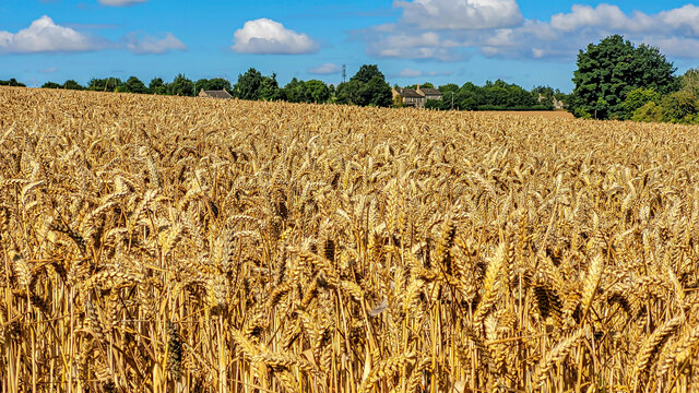
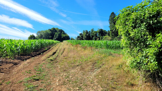
The park covers a vast area, stretching over 500 square miles, and is home to a variety of flora and fauna. The downs, characterized by their gently rolling hills and grassland, provide a perfect setting for leisurely walks and picnics. Visitors can enjoy the peaceful ambiance while taking in panoramic views of the surrounding countryside.

In contrast, the moorland areas of Cotswold Park offer a more rugged and wild landscape. Here, visitors can explore the heathland and discover unique plant species, such as heather and gorse. The moorland is also a habitat for various wildlife, including birds of prey, such as buzzards and kestrels, as well as small mammals like rabbits and foxes.

For outdoor enthusiasts, Cotswold Park offers a range of activities. Hiking and cycling trails are available throughout the park, catering to all levels of fitness and experience. Additionally, the park is a popular destination for horseback riding, with designated bridleways and equestrian centers.

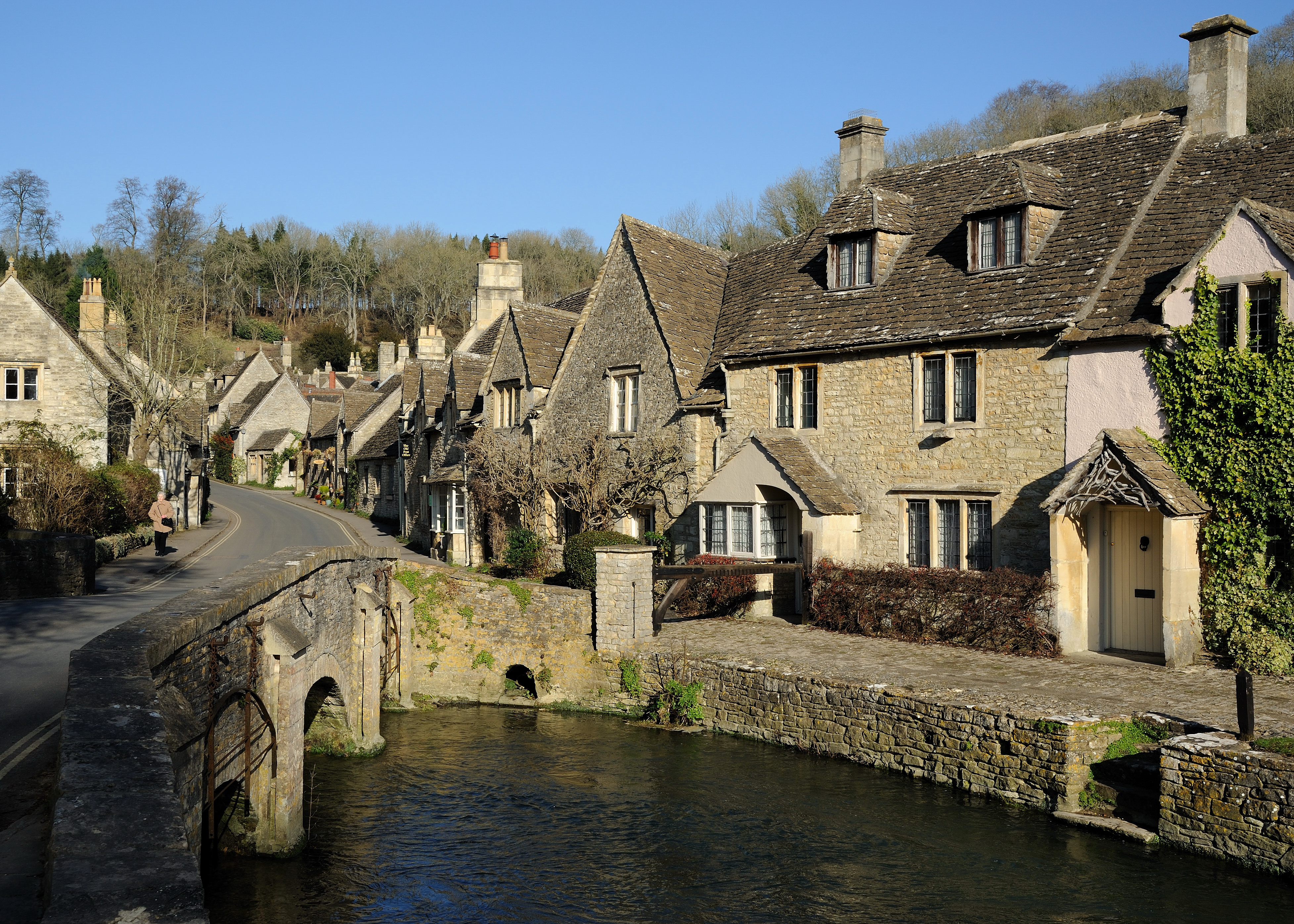
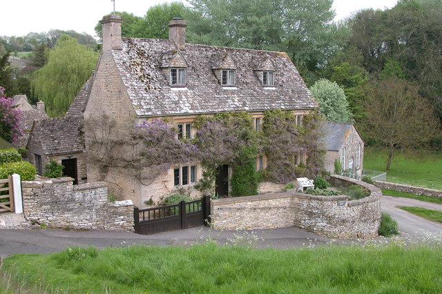
Cotswold Park is not only renowned for its natural beauty but also for its charming villages and historic landmarks. Visitors can explore traditional Cotswold stone cottages, visit quaint market towns, and admire historic sites such as ancient castles and churches.

Overall, Cotswold Park, with its downs, moorland, and cultural attractions, is a must-visit destination for nature lovers and history enthusiasts alike.

If you have any feedback on the listing, please let us know in the comments section below.

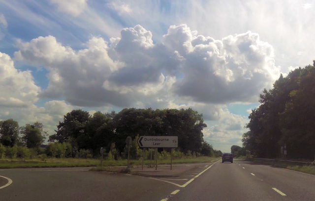
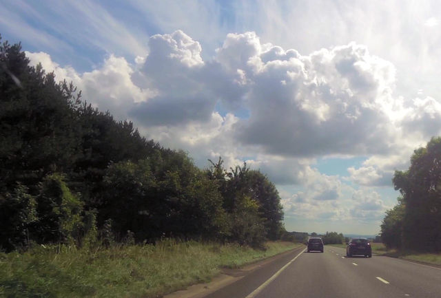
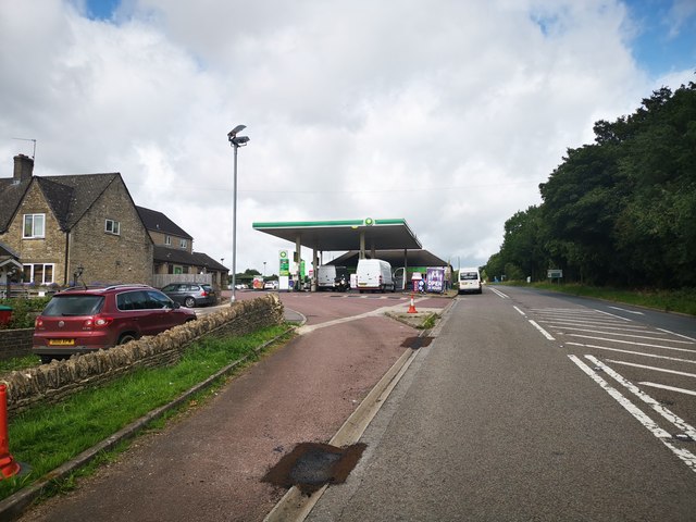
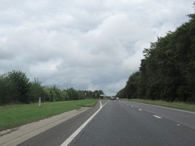
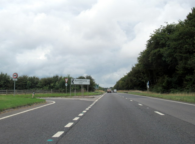
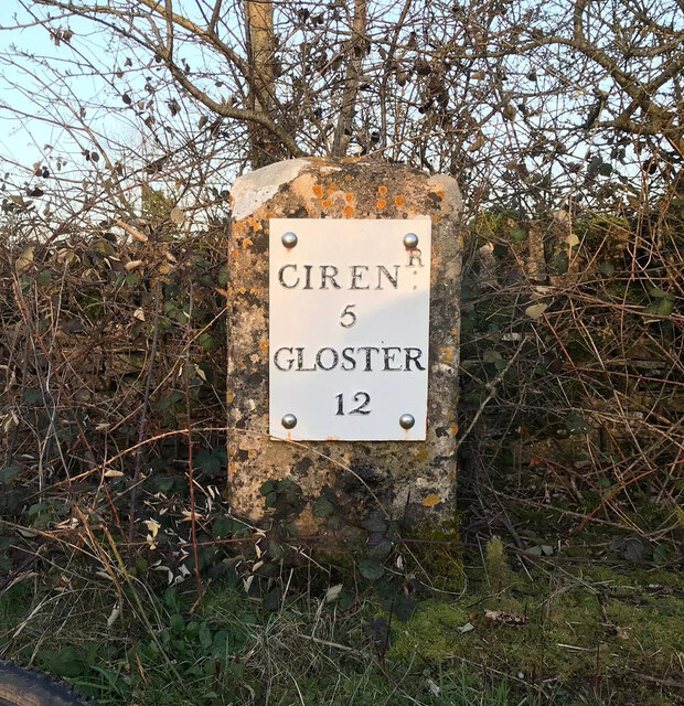
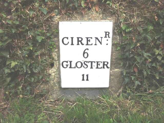
Cotswold Park Images

Images are sourced within 2km of 51.787468/-2.019481 or Grid Reference SO9809. Thanks to Geograph Open Source API. All images are credited.

Dustbins outside Aycot Farm
Dovecote at Aycote farm
Road through Aycote wood
Aycote Wood
Aycote Wood
Road parallel to the A417 I expect this was the original trunk road and it has the services now used for the new A417.
Road parallel to the A417
I expect this was the original trunk road and it has the services now used for the new A417.
Services off of the A417
Duntisbourne Services southbound
Bus Stop for Duntisbourne Just here the A417 dual carriageway separates for a short while.
Bus Stop for Duntisbourne
Just here the A417 dual carriageway separates for a short while.
Junction for Duntisbourne Leer
A417 just south of Duntisbourne Junction Coordinates from Where's the path. Just here the trees encroach onto the grass verges
A417 just south of Duntisbourne Junction
Coordinates from Where's the path. Just here the trees encroach onto the grass verges
Old Milestone by the A417, near The Five Mile House Metal plate attached to stone post by the A417, in parish of DUNTISBOURNE ABBOTS (COTSWOLD District), Southeast of The Five Mile House, by the Northeast side of road. Cirencester iron plate, erected by the Cirencester to Birdlip turnpike trust in the 19th century. 

Inscription reads:-
CIREN: R
5
GLOSTER
12

Grade II listed.  
List Entry Number: 1088458 <span class="nowrap"><a title="https://historicengland.org.uk/listing/the-list/list-entry/1088458" rel="nofollow ugc noopener" href="https://historicengland.org.uk/listing/the-list/list-entry/1088458">Link</a><img style="margin-left:2px;" alt="External link" title="External link - shift click to open in new window" src="https://s1.geograph.org.uk/img/external.png" width="10" height="10"/></span>

Milestone Society National ID: GL_LG95.
Old Milestone by the A417, near The Five Mile House
Metal plate attached to stone post by the A417, in parish of DUNTISBOURNE ABBOTS (COTSWOLD District), Southeast of The Five Mile House, by the Northeast side of road. Cirencester iron plate, erected by the Cirencester to Birdlip turnpike trust in the 19th century. Inscription reads:- CIREN: R 5 GLOSTER 12 Grade II listed. List Entry Number: 1088458 LinkExternal link Milestone Society National ID: GL_LG95.
Service Station Serving the A417.
Service Station
Serving the A417.
A417, Duntisbourne Leer junction
A417, at Duntisbourne Leer junction
Old Milestone, Ermin Street Metal plate attached to stone post by the A417, in parish of DUNTISBOURNE ABBOTS (COTSWOLD District), Five Mile House, by the road. Cirencester iron plate erected by the Cirencester to Birdlip turnpike trust in the 19th century. Alternative view see - <a href="https://www.geograph.org.uk/photo/4265168">SO9708 : Milestone on the old A417</a>.

Inscription reads:- : CIRENᴿ: / 5 / GLOSTER / 12

Milestone Society National ID: GL_LG95
Old Milestone, Ermin Street
Metal plate attached to stone post by the A417, in parish of DUNTISBOURNE ABBOTS (COTSWOLD District), Five Mile House, by the road. Cirencester iron plate erected by the Cirencester to Birdlip turnpike trust in the 19th century. Alternative view see - SO9708 : Milestone on the old A417. Inscription reads:- : CIRENᴿ: / 5 / GLOSTER / 12 Milestone Society National ID: GL_LG95
Old Milestone, A417, Fosse Lodge Metal plate detached from post by the A417, in parish of WINSTONE (COTSWOLD District), Fosse Lodge, Beechpike, by the old road. Cirencester iron plate, erected by the Cirencester to Birdlip turnpike trust in the 19th century.

Inscription reads: CIRENᴿ / 6 / GLOSTER / 11

Grade II Listed. Entry Number: 1341803 <span class="nowrap"><a title="https://historicengland.org.uk/listing/the-list/list-entry/1341803" rel="nofollow ugc noopener" href="https://historicengland.org.uk/listing/the-list/list-entry/1341803">Link</a><img style="margin-left:2px;" alt="External link" title="External link - shift click to open in new window" src="https://s1.geograph.org.uk/img/external.png" width="10" height="10"/></span>

Milestone Society National ID: GL_LG96
Old Milestone, A417, Fosse Lodge
Metal plate detached from post by the A417, in parish of WINSTONE (COTSWOLD District), Fosse Lodge, Beechpike, by the old road. Cirencester iron plate, erected by the Cirencester to Birdlip turnpike trust in the 19th century. Inscription reads: CIRENᴿ / 6 / GLOSTER / 11 Grade II Listed. Entry Number: 1341803 LinkExternal link Milestone Society National ID: GL_LG96
Ripe wheat crop Looking westwards towards the houses beside the A419, Ermin Way.
The Winstone radio mast can be seen centre distance.
Ripe wheat crop
Looking westwards towards the houses beside the A419, Ermin Way. The Winstone radio mast can be seen centre distance.
Line of a byway This hardly-used right of way cuts through arable land with a maize crop in the summer of 2022.
Line of a byway
This hardly-used right of way cuts through arable land with a maize crop in the summer of 2022.
Show me another place!

Cotswold Park is located at Grid Ref: SO9809 (Lat: 51.787468, Lng: -2.019481)

Administrative County: Gloucestershire

District: Cotswold

Police Authority: Gloucestershire

What 3 Words

///asserts.skate.monday. Near Stratton, Gloucestershire

Related Wikis

Five Mile House, Duntisbourne Abbots

The Five Mile House is a former pub on Old Gloucester Road, Duntisbourne Abbots, Gloucestershire, England. It was built in the 17th century and is grade...

Cotswolds

The Cotswolds ( KOTS-wohldz, KOTS-wəldz) is a region in central-southwest England, along a range of rolling hills that rise from the meadows of the upper...

Woodmancote, Cirencester

Woodmancote is a Cotswolds village near Cirencester, Gloucestershire, England. The village lies just off the A435. The village is 0.2 square miles (52...

Cotswold Hills Geopark

A swathe of the Cotswold Hills almost 60 miles long has been proposed as the Cotswold Hills Geopark. The Geopark project offers educational resources on...

Church of St Bartholomew, Winstone

The Anglican Church of St Bartholomew at Winstone in the Cotswold District of Gloucestershire, England was built in the 11th century. It is a grade I listed...

Davenport House, Duntisbourne Abbots

Davenport House is an historic building in the English village of Duntisbourne Abbots, Gloucestershire. Located on the eastern side of the village, it...

Winstone

Winstone is a village and civil parish in the English county of Gloucestershire. The population taken at the 2011 census was 270.Winstone forms part of...

Duntisbourne Abbots

Duntisbourne Abbots is a village and civil parish located in the English county of Gloucestershire. Duntisbourne Abbots forms part of the Cotswold District...

Nearby Amenities

Located within 500m of 51.787468,-2.019481
The data included in this document is from www.openstreetmap.org. The data is made available under ODbL.

Have you been to Cotswold Park?

Leave your review of Cotswold Park below (or comments, questions and feedback).