Selscomb Wood

Wood, Forest in Gloucestershire Cotswold

England

Selscomb Wood

Road parallel to the A417 I expect this was the original trunk road and it has the services now used for the new A417.
Road parallel to the A417 Credit: Jeff Gogarty

Selscomb Wood is a picturesque woodland located in Gloucestershire, England. It is situated in the heart of the Cotswolds, an area renowned for its natural beauty and rich history. Covering an area of approximately 100 acres, Selscomb Wood is a popular destination for nature enthusiasts and walkers alike.

The wood is primarily composed of mature broadleaf trees such as oak, beech, and ash, which create a dense canopy overhead. The forest floor is covered in a thick carpet of ferns, bluebells, and wildflowers during the spring and summer months, offering a stunning display of vibrant colors. The diverse range of flora provides a habitat for various wildlife, including birds, squirrels, and deer, making it an ideal spot for birdwatching and wildlife spotting.

Tranquil and serene, Selscomb Wood offers numerous walking trails that wind through its enchanting landscape. Visitors can explore the forest through well-maintained footpaths, allowing them to fully immerse themselves in the natural surroundings. Along the trails, benches and picnic areas can be found, providing the perfect opportunity to rest and take in the beautiful scenery.

Selscomb Wood is managed by the local Gloucestershire Wildlife Trust, which ensures the conservation and protection of the woodland. The trust also organizes educational programs and events throughout the year, offering visitors the chance to learn more about the local environment and wildlife.

In conclusion, Selscomb Wood is a captivating forest nestled in the heart of Gloucestershire. With its diverse flora and fauna, tranquil atmosphere, and well-maintained trails, it is a haven for nature lovers and a must-visit destination for anyone seeking a peaceful retreat in the countryside.

If you have any feedback on the listing, please let us know in the comments section below.

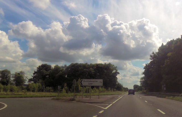
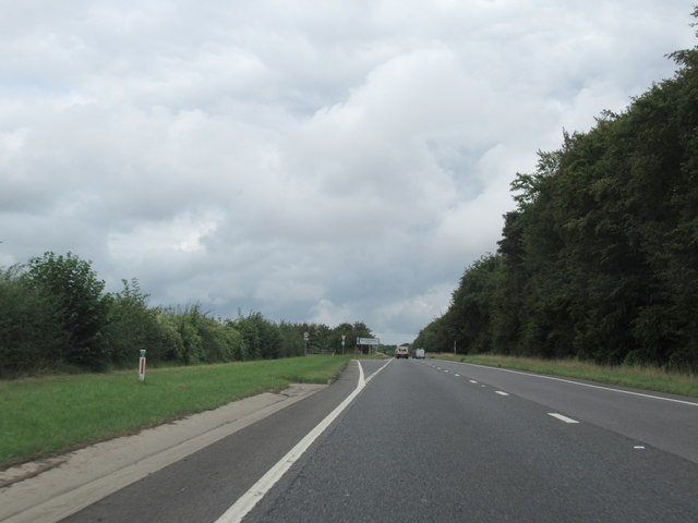
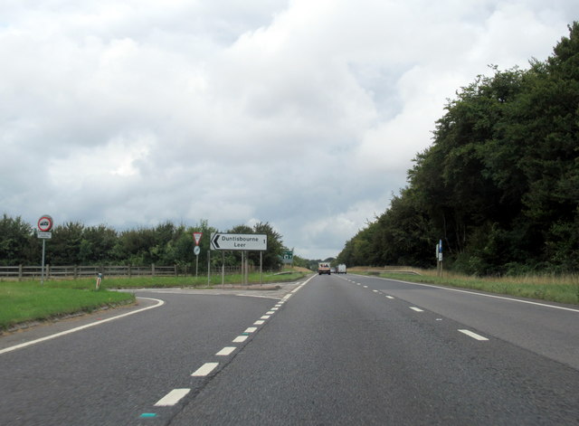
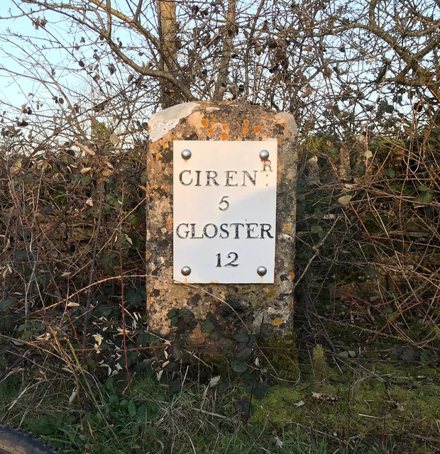
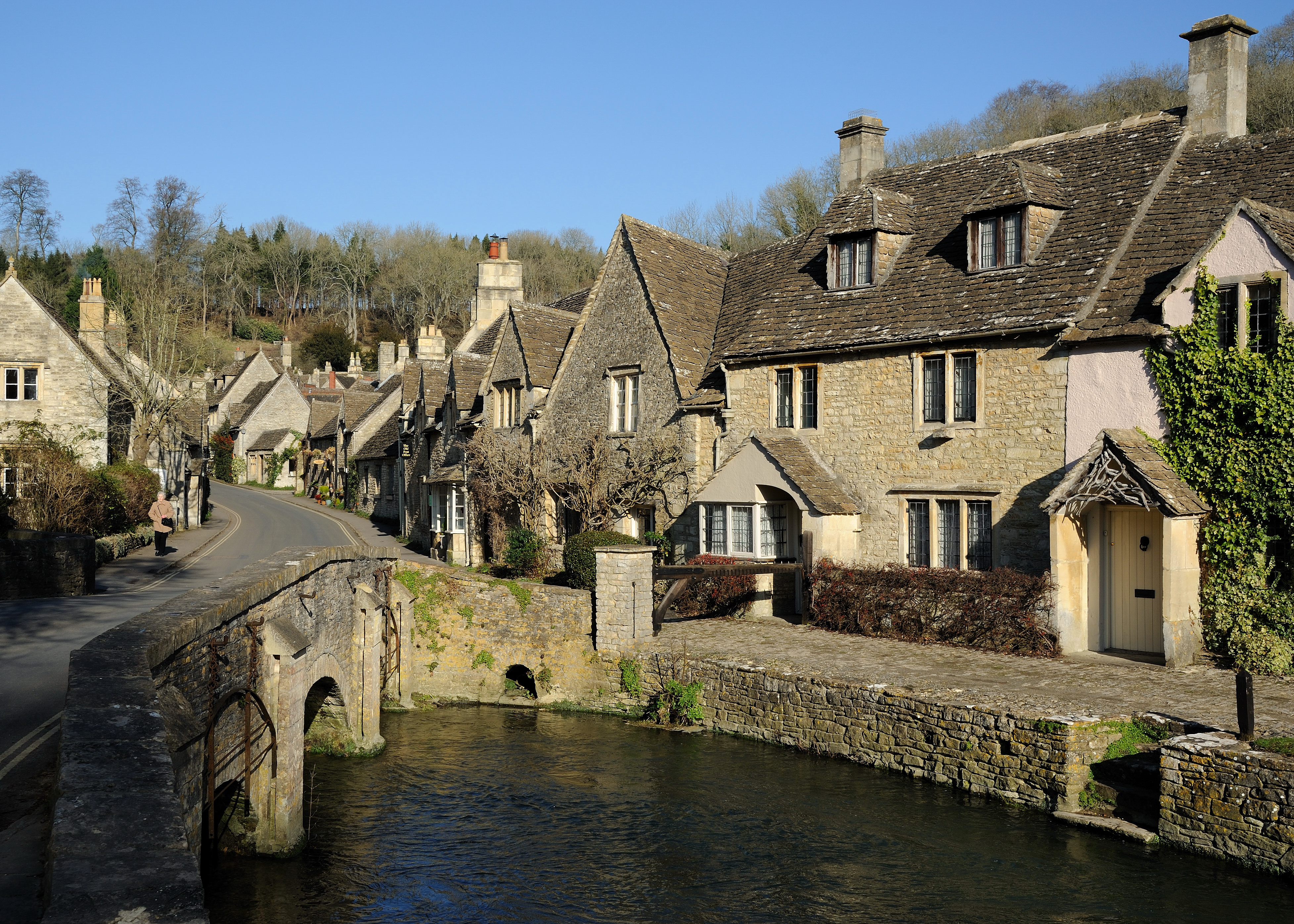
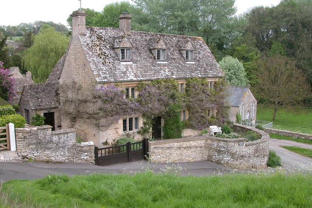
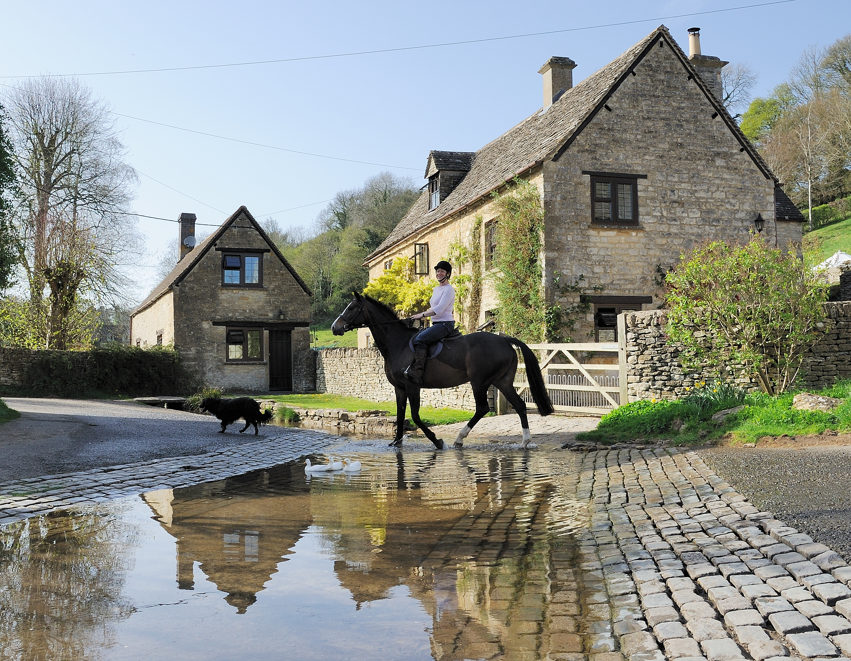
Selscomb Wood Images

Images are sourced within 2km of 51.785938/-2.0292948 or Grid Reference SO9809. Thanks to Geograph Open Source API. All images are credited.

Road parallel to the A417 I expect this was the original trunk road and it has the services now used for the new A417.
Road parallel to the A417
I expect this was the original trunk road and it has the services now used for the new A417.
Services off of the A417
St Bartholomew's church, Winstone The left jamb of the Saxon-Norman chancel arch is a single stone characteristic of Saxon construction.  Like many in the Cotswolds the church interior was unfortunately scraped of plaster in a Victorian restoration (by Waller & Son of Gloucester).  Their refurnishing is decent but the mortar pointing is harsh.
St Bartholomew's church, Winstone
The left jamb of the Saxon-Norman chancel arch is a single stone characteristic of Saxon construction. Like many in the Cotswolds the church interior was unfortunately scraped of plaster in a Victorian restoration (by Waller & Son of Gloucester). Their refurnishing is decent but the mortar pointing is harsh.
St Bartholomew and Manor Farm, Winstone The worthwhile end of the winding lane east from Winstone crossroads.
St Bartholomew and Manor Farm, Winstone
The worthwhile end of the winding lane east from Winstone crossroads.
St Bartholomew and Manor Farm, Winstone Within the churchyard, a Scots pine and a cedar tower over the church.
St Bartholomew and Manor Farm, Winstone
Within the churchyard, a Scots pine and a cedar tower over the church.
The centre of Winstone The centre of this village of the high wolds is a three-way junction with a small sloping triangle and a pine tree.  Cottages crowd along the lane to the north without ceremony.
The centre of Winstone
The centre of this village of the high wolds is a three-way junction with a small sloping triangle and a pine tree. Cottages crowd along the lane to the north without ceremony.
School Hill, Winstone
Duntisbourne Services southbound
Bus Stop for Duntisbourne Just here the A417 dual carriageway separates for a short while.
Bus Stop for Duntisbourne
Just here the A417 dual carriageway separates for a short while.
Junction for Duntisbourne Leer
A417 just south of Duntisbourne Junction Coordinates from Where's the path. Just here the trees encroach onto the grass verges
A417 just south of Duntisbourne Junction
Coordinates from Where's the path. Just here the trees encroach onto the grass verges
Old Milestone by the A417, near The Five Mile House Metal plate attached to stone post by the A417, in parish of DUNTISBOURNE ABBOTS (COTSWOLD District), Southeast of The Five Mile House, by the Northeast side of road. Cirencester iron plate, erected by the Cirencester to Birdlip turnpike trust in the 19th century. 

Inscription reads:-
CIREN: R
5
GLOSTER
12

Grade II listed.  
List Entry Number: 1088458 <span class="nowrap"><a title="https://historicengland.org.uk/listing/the-list/list-entry/1088458" rel="nofollow ugc noopener" href="https://historicengland.org.uk/listing/the-list/list-entry/1088458">Link</a><img style="margin-left:2px;" alt="External link" title="External link - shift click to open in new window" src="https://s1.geograph.org.uk/img/external.png" width="10" height="10"/></span>

Milestone Society National ID: GL_LG95.
Old Milestone by the A417, near The Five Mile House
Metal plate attached to stone post by the A417, in parish of DUNTISBOURNE ABBOTS (COTSWOLD District), Southeast of The Five Mile House, by the Northeast side of road. Cirencester iron plate, erected by the Cirencester to Birdlip turnpike trust in the 19th century. Inscription reads:- CIREN: R 5 GLOSTER 12 Grade II listed. List Entry Number: 1088458 LinkExternal link Milestone Society National ID: GL_LG95.
Service Station Serving the A417.
Service Station
Serving the A417.
A417, Duntisbourne Leer junction
A417, at Duntisbourne Leer junction
St Bartholomew's Church, Winstone
Ordnance Survey Bench Mark Mark located on the North West facing wall of St Bartholomew's Church. These marks were used by Ordnance Survey for mapping purposes.
Ordnance Survey Bench Mark
Mark located on the North West facing wall of St Bartholomew's Church. These marks were used by Ordnance Survey for mapping purposes.
Old Milestone, Ermin Street Metal plate attached to stone post by the A417, in parish of DUNTISBOURNE ABBOTS (COTSWOLD District), Five Mile House, by the road. Cirencester iron plate erected by the Cirencester to Birdlip turnpike trust in the 19th century. Alternative view see - <a href="https://www.geograph.org.uk/photo/4265168">SO9708 : Milestone on the old A417</a>.

Inscription reads:- : CIRENᴿ: / 5 / GLOSTER / 12

Milestone Society National ID: GL_LG95
Old Milestone, Ermin Street
Metal plate attached to stone post by the A417, in parish of DUNTISBOURNE ABBOTS (COTSWOLD District), Five Mile House, by the road. Cirencester iron plate erected by the Cirencester to Birdlip turnpike trust in the 19th century. Alternative view see - SO9708 : Milestone on the old A417. Inscription reads:- : CIRENᴿ: / 5 / GLOSTER / 12 Milestone Society National ID: GL_LG95
Show me another place!

Selscomb Wood is located at Grid Ref: SO9809 (Lat: 51.785938, Lng: -2.0292948)

Administrative County: Gloucestershire

District: Cotswold

Police Authority: Gloucestershire

What 3 Words

///rebounds.contemplate.piper. Near Stratton, Gloucestershire

Related Wikis

Five Mile House, Duntisbourne Abbots

The Five Mile House is a former pub on Old Gloucester Road, Duntisbourne Abbots, Gloucestershire, England. It was built in the 17th century and is grade...

Church of St Bartholomew, Winstone

The Anglican Church of St Bartholomew at Winstone in the Cotswold District of Gloucestershire, England was built in the 11th century. It is a grade I listed...

Cotswolds

The Cotswolds ( KOTS-wohldz, KOTS-wəldz) is a region in central-southwest England, along a range of rolling hills that rise from the meadows of the upper...

Winstone

Winstone is a village and civil parish in the English county of Gloucestershire. The population taken at the 2011 census was 270.Winstone forms part of...

Davenport House, Duntisbourne Abbots

Davenport House is an historic building in the English village of Duntisbourne Abbots, Gloucestershire. Located on the eastern side of the village, it...

Duntisbourne Abbots

Duntisbourne Abbots is a village and civil parish located in the English county of Gloucestershire. Duntisbourne Abbots forms part of the Cotswold District...

Duntisbourne Leer

Duntisbourne Leer is a hamlet in the county of Gloucestershire, and lies within the Cotswolds, a range of hills designated an Area of Outstanding Natural...

Woodmancote, Cirencester

Woodmancote is a Cotswolds village near Cirencester, Gloucestershire, England. The village lies just off the A435. The village is 0.2 square miles (52...

Nearby Amenities

Located within 500m of 51.785938,-2.0292948
The data included in this document is from www.openstreetmap.org. The data is made available under ODbL.

Have you been to Selscomb Wood?

Leave your review of Selscomb Wood below (or comments, questions and feedback).