Rabbit Warren

Downs, Moorland in Yorkshire Richmondshire

England

Rabbit Warren

Old Milestone in Woodhall, Newbiggin Parish Carved stone post by the UC road, in parish of NEWBIGGIN (RICHMONDSHIRE District), Woodhall between Carperby and Askrigg; West of houses, on verge back to drystone wall; by large gatepost 10m East of 'SLOW' on road and bends and junction signs, on North side of road. Richmond LH stone, erected by the Richmond & Lancaster (Eastern District) turnpike trust in the 18th century. 

Inscription once read:-
(Richmond
(16)
(Askrigg
(2) 

Milestone Society National ID: YN_LARC40.
Old Milestone in Woodhall, Newbiggin Parish Credit: Matthew Hatton

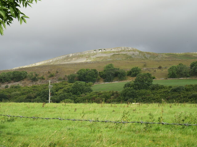
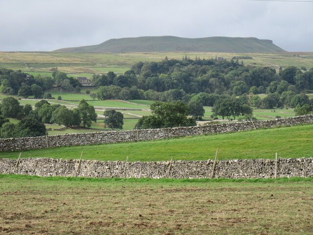
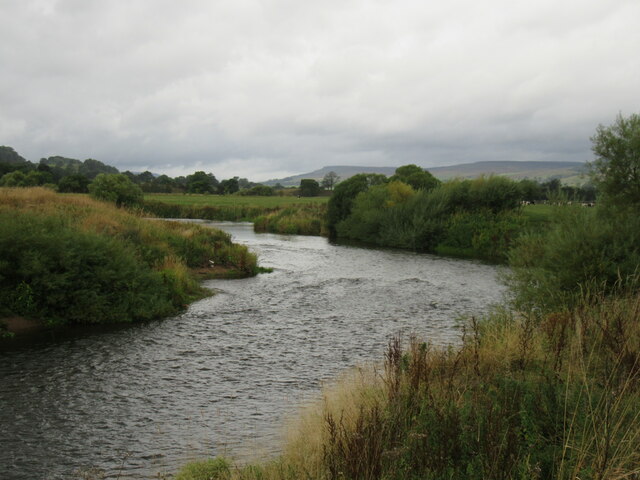
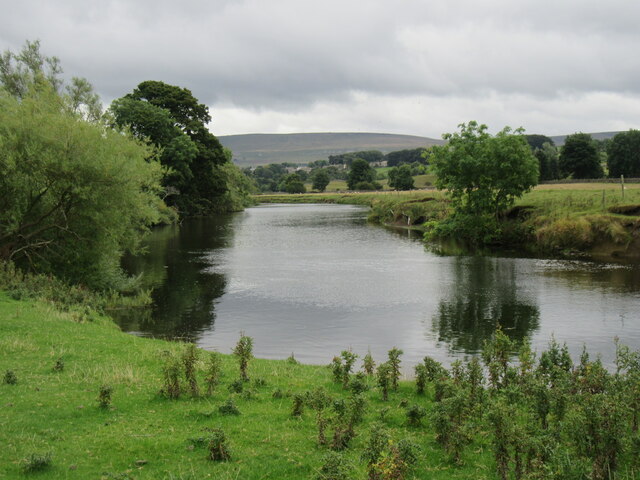
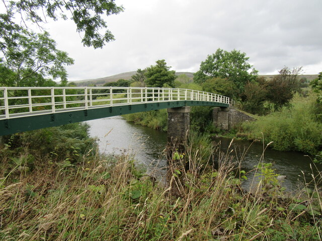
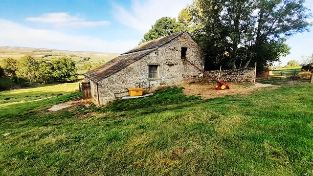
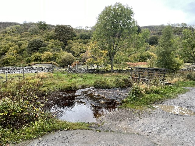
Rabbit Warren, Yorkshire is a picturesque region located in the northern part of England, known for its stunning landscapes and rich wildlife. Situated amidst the enchanting Yorkshire Downs and Moorland, Rabbit Warren offers a captivating blend of rolling hills, vast open spaces, and diverse flora and fauna.

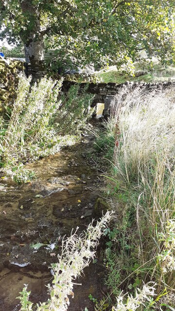
The area gets its name from the numerous rabbit warrens found throughout the countryside. These warrens are home to a thriving population of wild rabbits, which can often be seen hopping around the fields and meadows. The presence of these furry creatures adds to the charm and natural beauty of the region.

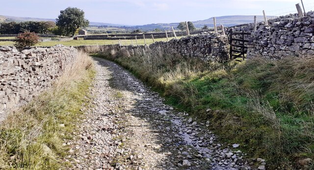
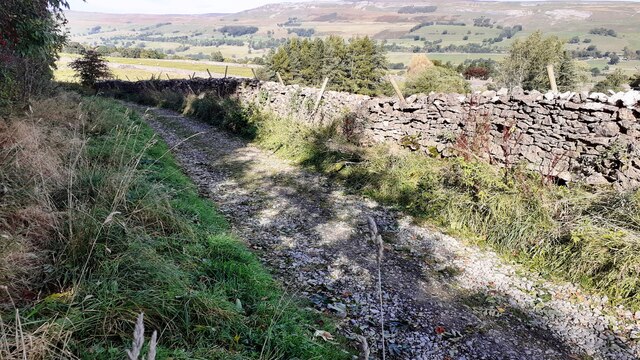
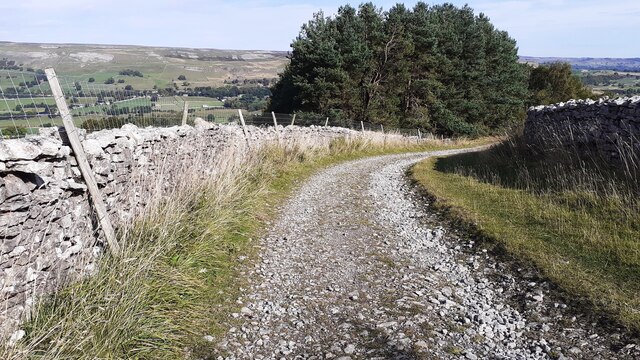
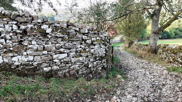
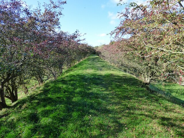
Yorkshire Downs, with their gentle slopes, provide a breathtaking backdrop to Rabbit Warren. These hills are covered in lush green grasslands and dotted with vibrant wildflowers during the summer months. The undulating terrain is a haven for hikers, offering a multitude of scenic trails and panoramic viewpoints.

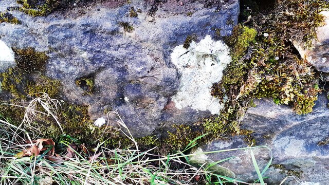
Adjacent to the downs, the Moorland of Rabbit Warren showcases a unique ecosystem. This vast expanse of heather-clad moorland is a protected area, home to an array of wildlife including grouse, curlews, and other bird species. The moorland also boasts ancient stone formations and historic landmarks, adding a touch of mystery and intrigue to the landscape.

Rabbit Warren, Yorkshire is a haven for nature lovers and outdoor enthusiasts alike. With its idyllic countryside, diverse wildlife, and captivating vistas, it is a destination that promises an unforgettable experience for all who visit.

If you have any feedback on the listing, please let us know in the comments section below.

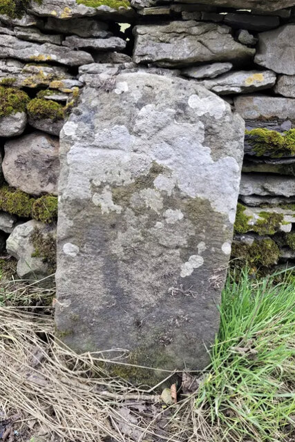
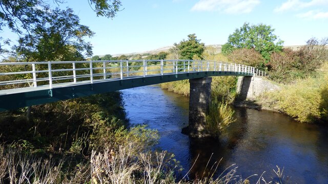
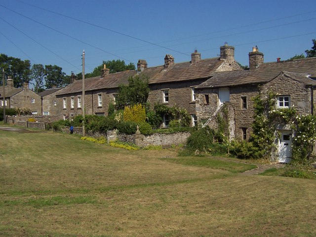
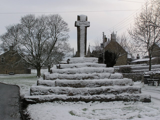
Rabbit Warren Images

Images are sourced within 2km of 54.302168/-2.0230926 or Grid Reference SD9889. Thanks to Geograph Open Source API. All images are credited.

Old Milestone in Woodhall, Newbiggin Parish Carved stone post by the UC road, in parish of NEWBIGGIN (RICHMONDSHIRE District), Woodhall between Carperby and Askrigg; West of houses, on verge back to drystone wall; by large gatepost 10m East of 'SLOW' on road and bends and junction signs, on North side of road. Richmond LH stone, erected by the Richmond & Lancaster (Eastern District) turnpike trust in the 18th century. 

Inscription once read:-
(Richmond
(16)
(Askrigg
(2) 

Milestone Society National ID: YN_LARC40.
Old Milestone in Woodhall, Newbiggin Parish
Carved stone post by the UC road, in parish of NEWBIGGIN (RICHMONDSHIRE District), Woodhall between Carperby and Askrigg; West of houses, on verge back to drystone wall; by large gatepost 10m East of 'SLOW' on road and bends and junction signs, on North side of road. Richmond LH stone, erected by the Richmond & Lancaster (Eastern District) turnpike trust in the 18th century. Inscription once read:- (Richmond (16) (Askrigg (2) Milestone Society National ID: YN_LARC40.
Looking towards Ivy Scar Looking towards Ivy Scar from The Straights.
Looking towards Ivy Scar
Looking towards Ivy Scar from The Straights.
Woodhall Park Looking towards Addleborough.
Woodhall Park
Looking towards Addleborough.
River Ure near Woodhall Looking upstream.
River Ure near Woodhall
Looking upstream.
River Ure near Aysgarth Looking downstream with Penhill in the distance.
River Ure near Aysgarth
Looking downstream with Penhill in the distance.
Footbridge over the River Ure Footbridge over the River Ure near Aysgarth.
Footbridge over the River Ure
Footbridge over the River Ure near Aysgarth.
Benchmark on The Old Goat House Ordnance Survey cut mark benchmark described on the Bench Mark Database at <span class="nowrap"><a title="www.bench-marks.org.uk/bm31142" rel="nofollow ugc noopener" href="http://www.bench-marks.org.uk/bm31142">Link</a><img style="margin-left:2px;" alt="External link" title="External link - shift click to open in new window" src="https://s1.geograph.org.uk/img/external.png" width="10" height="10"/></span>
Benchmark on The Old Goat House
Ordnance Survey cut mark benchmark described on the Bench Mark Database at LinkExternal link
The Old Goat House There is an Ordnance Survey benchmark <a href="https://www.geograph.org.uk/photo/6985668">SD9788 : Benchmark on The Old Goat House</a> on the near corner, right hand face (behind the white gates), of the house
The Old Goat House
There is an Ordnance Survey benchmark SD9788 : Benchmark on The Old Goat House on the near corner, right hand face (behind the white gates), of the house
West Beck beside the Thornton Rust sheepfold 'Here sheep wash and clipping was undertaken to wash out lanolin and ticks (and salve) from sheep fleeces before clipping. The stream was blocked at the lower end of the sheep dip site by inserting a wooden slab between the two large stone slabs (which can be seen in the photo in front of the hole in the dry stone wall) set in the stream. This created a large pool into which the sheep were driven and individually washed. This practice stopped in the early 1900s. One reason was that the wool processors realised that lanolin was a valuable product which they preferred to be left in the fleeces to process themselves'.
West Beck beside the Thornton Rust sheepfold
'Here sheep wash and clipping was undertaken to wash out lanolin and ticks (and salve) from sheep fleeces before clipping. The stream was blocked at the lower end of the sheep dip site by inserting a wooden slab between the two large stone slabs (which can be seen in the photo in front of the hole in the dry stone wall) set in the stream. This created a large pool into which the sheep were driven and individually washed. This practice stopped in the early 1900s. One reason was that the wool processors realised that lanolin was a valuable product which they preferred to be left in the fleeces to process themselves'.
Track towards Thornton Rust Ordnance Survey records indicate that a benchmark levelled at 274.774m above Newlyn Datum was verified in 1954 on a stone in the dry stone wall on the left hand side of the track 4.6m past the junction of walls on the right hand side of the track.
Track towards Thornton Rust
Ordnance Survey records indicate that a benchmark levelled at 274.774m above Newlyn Datum was verified in 1954 on a stone in the dry stone wall on the left hand side of the track 4.6m past the junction of walls on the right hand side of the track.
Track descending to Thornton Rust The 1893 Map shows a  benchmark at 946.3 feet on a rock beside the left hand side of the track at this location
Track descending to Thornton Rust
The 1893 Map shows a benchmark at 946.3 feet on a rock beside the left hand side of the track at this location
Track on Thornton Rust Moor heading towards Thornton Rust Ordnance Survey records describe a benchmark levelled at 305.684m above Newlyn Datum verified in 1954 on a boulder on the left hand side of the track here
Track on Thornton Rust Moor heading towards Thornton Rust
Ordnance Survey records describe a benchmark levelled at 305.684m above Newlyn Datum verified in 1954 on a boulder on the left hand side of the track here
Barn in field on west side of Nipe Lane There is an Ordnance Survey benchmark <a href="https://www.geograph.org.uk/photo/5213892">SD9789 : Benchmark on stone at base of barn in Thornton Rust</a> on a rock at the base of the barn at the junction of its two sections
Barn in field on west side of Nipe Lane
There is an Ordnance Survey benchmark SD9789 : Benchmark on stone at base of barn in Thornton Rust on a rock at the base of the barn at the junction of its two sections
Benchmark on stone at base of wall corner at NW side of footpath at Nipe End Ordnance Survey pivot benchmark shown as levelled at 243.51m above Newlyn Datum on 1978-1979 1:2500 Map
Benchmark on stone at base of wall corner at NW side of footpath at Nipe End
Ordnance Survey pivot benchmark shown as levelled at 243.51m above Newlyn Datum on 1978-1979 1:2500 Map
Bend in Nipe Lane at  Nipe End There is an Ordnance Survey benchmark <a href="https://www.geograph.org.uk/photo/6995779">SD9789 : Benchmark on stone at base of wall corner at NW side of footpath at Nipe End</a> on a stone at the base of the wall at its corner  in the middle of the image
Bend in Nipe Lane at Nipe End
There is an Ordnance Survey benchmark SD9789 : Benchmark on stone at base of wall corner at NW side of footpath at Nipe End on a stone at the base of the wall at its corner in the middle of the image
Ballowfield Ford This ford is found just off The Straights beside Ballowfield Nature Reserve.
Ballowfield Ford
This ford is found just off The Straights beside Ballowfield Nature Reserve.
Footbridge over the River Ure
Disused Wensleydale railway embankment
Show me another place!

Rabbit Warren is located at Grid Ref: SD9889 (Lat: 54.302168, Lng: -2.0230926)

Division: North Riding

Administrative County: North Yorkshire

District: Richmondshire

Police Authority: North Yorkshire

What 3 Words

///irritable.smirks.deal. Near Leyburn, North Yorkshire

Related Wikis

Nearby Amenities

Located within 500m of 54.302168,-2.0230926
Barrier: stile
Lat/Long: 54.3001684/-2.0172401
Throstle Nest
Building: yes
Is In Country Code: GB
Is In County: North Yorkshire
Is In Municipality: Richmondshire
Source: NPE
Lat/Long: 54.2980738/-2.0245163
Parking
Ballowfields Nature Reserve
Lat/Long: 54.303627/-2.020483
Power: pole
Source: Bing
Lat/Long: 54.3016386/-2.0215275
Power: pole
Source: Bing
Lat/Long: 54.3039173/-2.0293163
Power: pole
Source: Bing
Lat/Long: 54.3008435/-2.0166673
Power: pole
Source: Bing
Lat/Long: 54.3008059/-2.0177455
Power: pole
Source: Bing
Lat/Long: 54.3007934/-2.0188238
Power: pole
Source: Bing
Lat/Long: 54.3035278/-2.027884
Power: pole
Source: Bing
Lat/Long: 54.302922/-2.0255129
Power: pole
Source: Bing
Lat/Long: 54.3032851/-2.0269345
Power: pole
Source: Bing
Lat/Long: 54.3024714/-2.0241137
Power: pole
Source: Bing
Lat/Long: 54.3020605/-2.0228377
Parking
Lat/Long: 54.3045673/-2.0233379
Lady Hill
Ele: 238
Natural: peak
Lat/Long: 54.301028/-2.0239875
Power: pole
Lat/Long: 54.2978842/-2.0243498
The data included in this document is from www.openstreetmap.org. The data is made available under ODbL.

Have you been to Rabbit Warren?

Leave your review of Rabbit Warren below (or comments, questions and feedback).