Harlton
Settlement in Cambridgeshire South Cambridgeshire
England
Harlton
Harlton is a picturesque village located in the South Cambridgeshire district of Cambridgeshire, England. With a population of around 500 residents, it is a small and close-knit community that offers a peaceful and idyllic countryside setting.
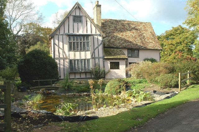
Situated approximately seven miles southwest of Cambridge, Harlton is surrounded by beautiful rolling hills and lush green fields. The village itself is characterized by its charming thatched-roof cottages, historic buildings, and well-maintained gardens, which add to its quintessential English village appeal.
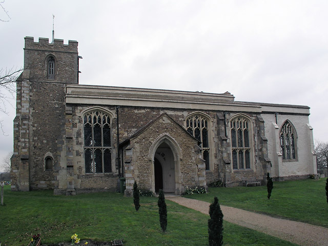
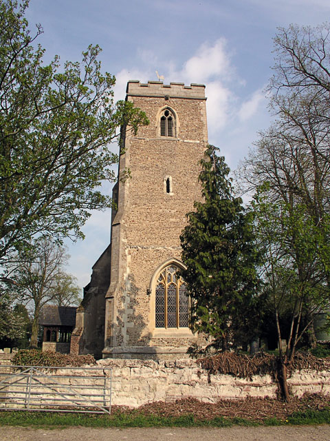
Harlton boasts a rich history, with evidence of settlements dating back to Roman times. The village is home to the Grade II listed St Mary Magdalene Church, a stunning medieval structure that serves as a focal point for the community. The church features impressive architectural details, including a 13th-century tower and 14th-century stained glass windows.
In terms of amenities, Harlton offers a primary school, providing education for children aged 4 to 11. The village also has a community hall, which serves as a hub for various social events and activities. Additionally, there is a pub located in the heart of the village, offering a cozy and welcoming atmosphere for locals and visitors alike.
For those seeking outdoor activities, Harlton is surrounded by picturesque countryside, offering ample opportunities for walking, cycling, and exploring the natural beauty of the area. The nearby Wimpole Estate, managed by the National Trust, provides additional recreational options with its expansive parkland, gardens, and historic house.
Overall, Harlton is a charming and tranquil village that offers residents a peaceful rural lifestyle, while still being within easy reach of the amenities and cultural attractions of Cambridge and the surrounding area.
If you have any feedback on the listing, please let us know in the comments section below.
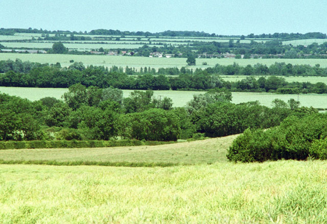
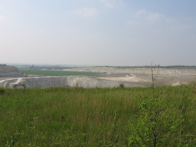
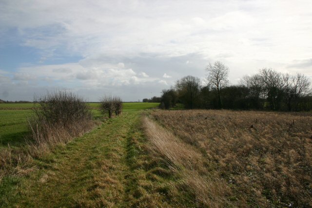
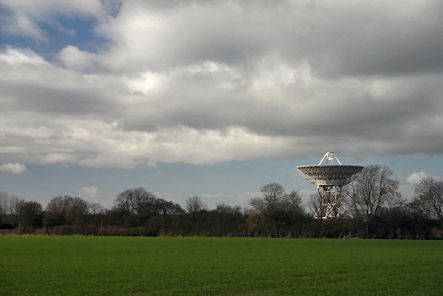
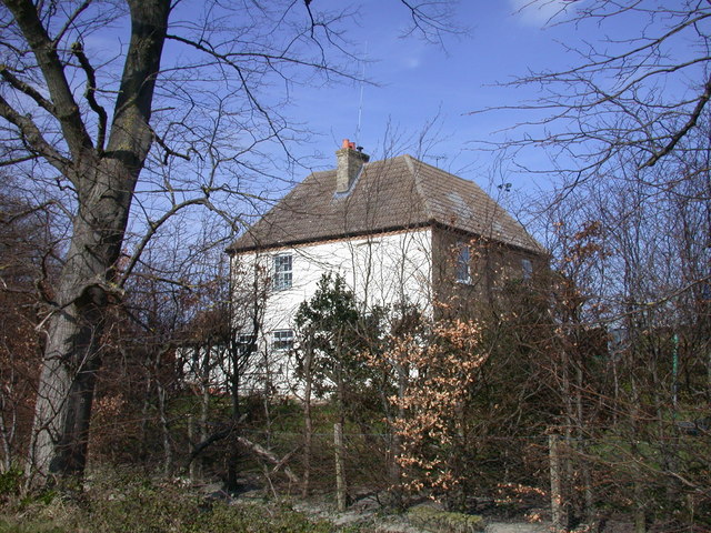
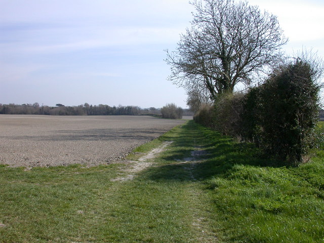
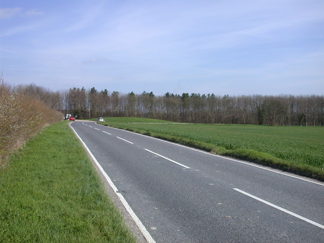
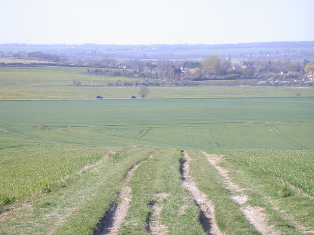
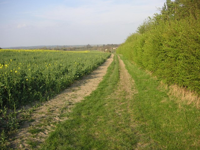
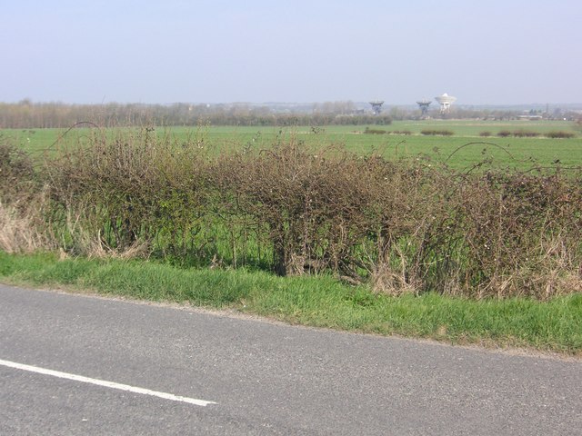
Harlton Images
Images are sourced within 2km of 52.152576/0.025144 or Grid Reference TL3852. Thanks to Geograph Open Source API. All images are credited.

Harlton is located at Grid Ref: TL3852 (Lat: 52.152576, Lng: 0.025144)
Administrative County: Cambridgeshire
District: South Cambridgeshire
Police Authority: Cambridgeshire
What 3 Words
///ombudsman.pink.taped. Near Haslingfield, Cambridgeshire
Nearby Locations
Related Wikis

Harlton
Harlton is a village and civil parish in Cambridgeshire in the United Kingdom. The village is 5 miles (8.0 km) south-west of Cambridge and neighbours Haslingfield...

Eversden and Wimpole Woods
Eversden and Wimpole Woods is a 67.1-hectare (166-acre) biological Site of Special Scientific Interest between Kingston and Orwell in Cambridgeshire. The...

Barrington Chalk Pit
Barrington Chalk Pit is a 97.1-hectare (240-acre) geological Site of Special Scientific Interest near Barrington in Cambridgeshire. It is a Geological...

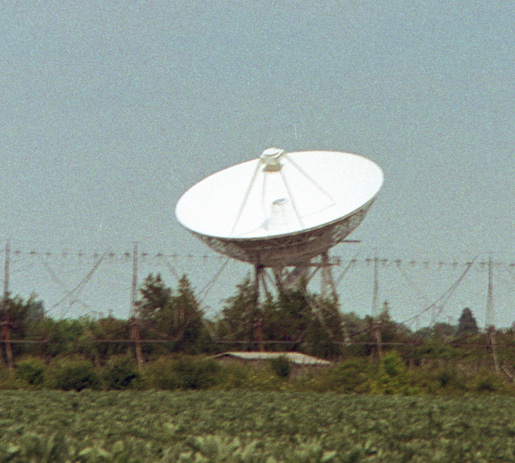
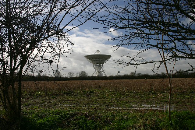
Interplanetary Scintillation Array
The Interplanetary Scintillation Array (also known as the IPS Array or Pulsar Array) is a radio telescope that was built in 1967 at the Mullard Radio Astronomy...
Nearby Amenities
Located within 500m of 52.152576,0.025144Have you been to Harlton?
Leave your review of Harlton below (or comments, questions and feedback).