Butler's Spinney
Wood, Forest in Cambridgeshire South Cambridgeshire
England
Butler's Spinney
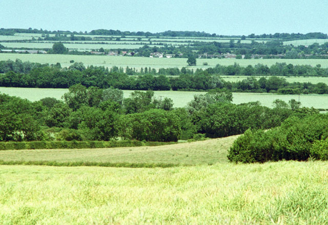
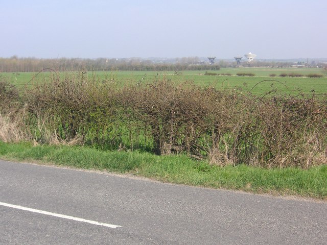
Butler's Spinney is a small woodland area located in Cambridgeshire, England. Situated near the village of Wood, the spinney is a charming and picturesque forest that attracts visitors with its natural beauty and tranquility.
Covering an area of approximately 10 acres, Butler's Spinney is a mix of ancient and newer woodland. The forest is predominantly made up of broadleaf trees such as oak, ash, and beech, which provide shade and create a diverse and vibrant habitat for various flora and fauna.
The spinney is well-known for its rich biodiversity, housing a wide range of plant and animal species. Wildflowers such as bluebells and primroses bloom in the spring, creating a colorful carpet on the forest floor. It is also home to various bird species, including woodpeckers and owls, which can be heard and spotted throughout the year.
The woodland is crisscrossed with walking trails, allowing visitors to explore and enjoy the natural environment. These paths wind through the trees, providing opportunities for peaceful walks, birdwatching, and photography. The dense foliage also makes the spinney a popular spot for nature enthusiasts and photographers, who appreciate the unique and enchanting atmosphere.
Butler's Spinney offers a serene and idyllic escape from the hustle and bustle of everyday life. Whether it's a leisurely stroll, a picnic, or simply a moment of solitude in nature, this woodland retreat provides a delightful experience for visitors seeking a connection with the natural world.
If you have any feedback on the listing, please let us know in the comments section below.
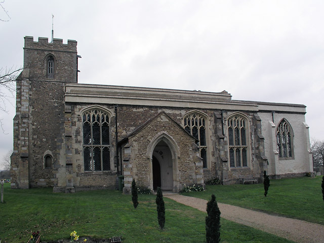
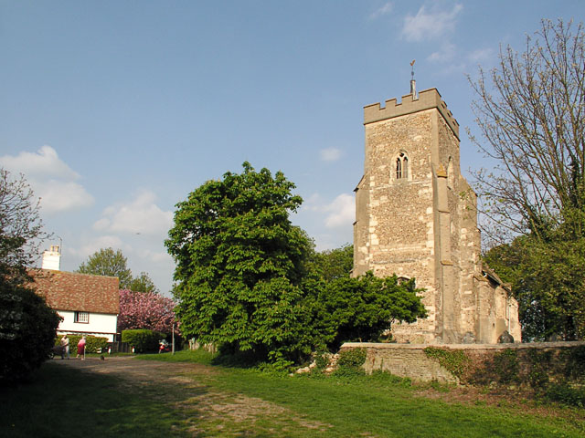
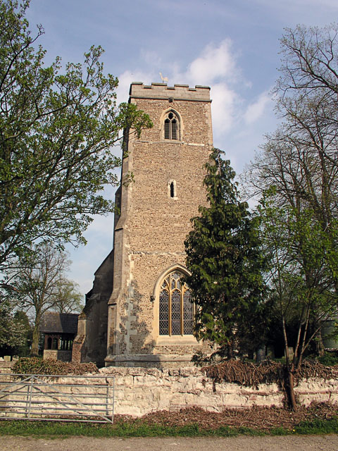
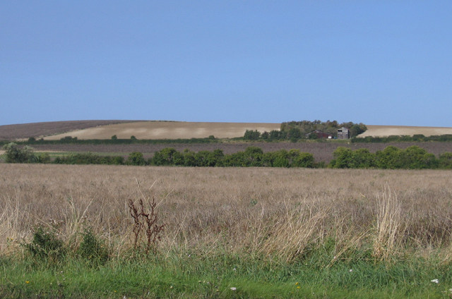
Butler's Spinney Images
Images are sourced within 2km of 52.15485/0.0191518 or Grid Reference TL3852. Thanks to Geograph Open Source API. All images are credited.


Butler's Spinney is located at Grid Ref: TL3852 (Lat: 52.15485, Lng: 0.0191518)
Administrative County: Cambridgeshire
District: South Cambridgeshire
Police Authority: Cambridgeshire
What 3 Words
///overpower.glance.healers. Near Haslingfield, Cambridgeshire
Nearby Locations
Related Wikis

Harlton
Harlton is a village and civil parish in Cambridgeshire in the United Kingdom. The village is 5 miles (8.0 km) south-west of Cambridge and neighbours Haslingfield...

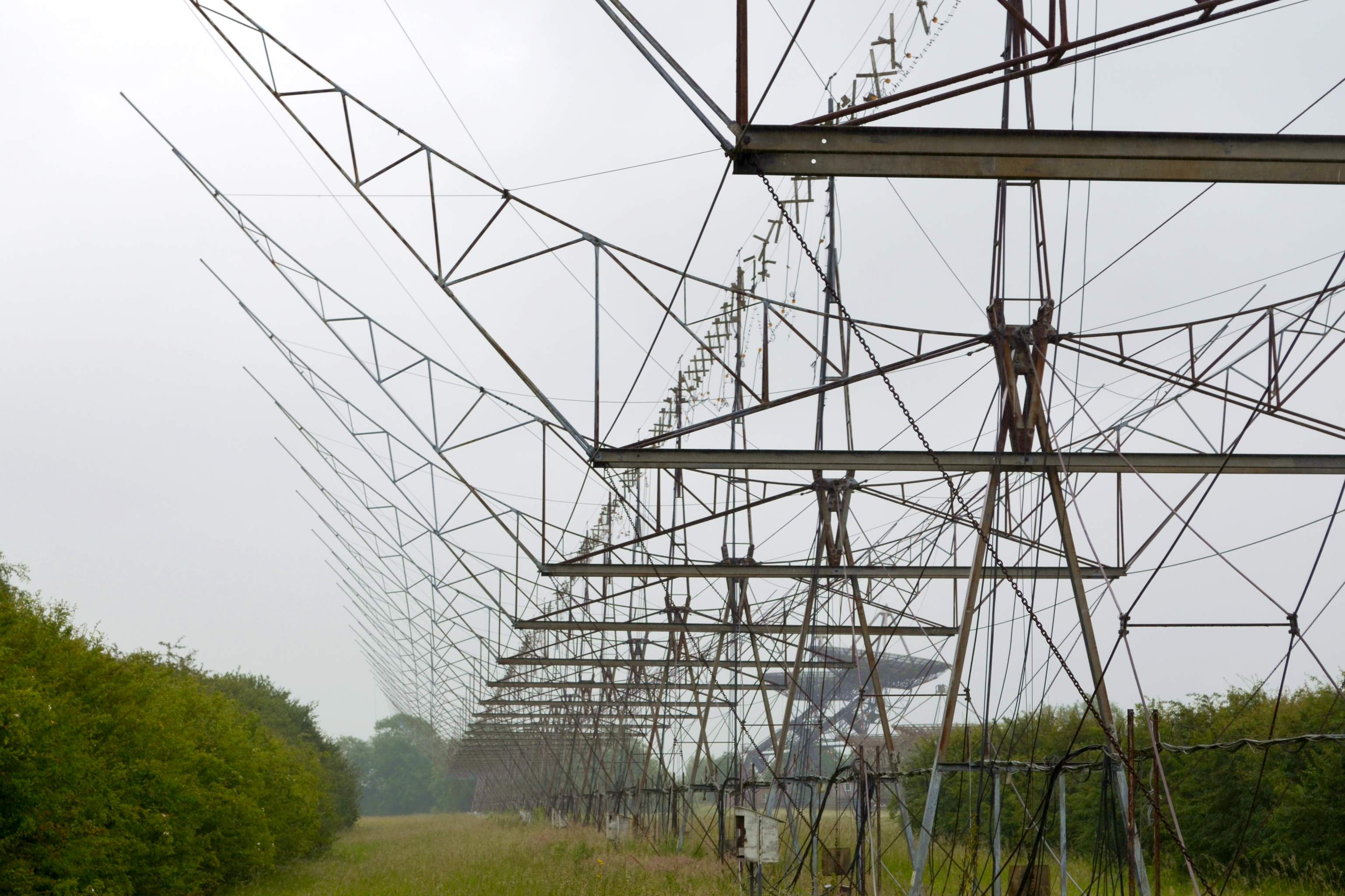
Interplanetary Scintillation Array
The Interplanetary Scintillation Array (also known as the IPS Array or Pulsar Array) is a radio telescope that was built in 1967 at the Mullard Radio Astronomy...
4C Array
The 4C Array is a cylindrical paraboloid radio telescope at the Mullard Radio Astronomy Observatory, near Cambridge, England. It is similar in design to...

Eversden and Wimpole Woods
Eversden and Wimpole Woods is a 67.1-hectare (166-acre) biological Site of Special Scientific Interest between Kingston and Orwell in Cambridgeshire. The...
Half-Mile Telescope
The Half-Mile Telescope was constructed in 1968 (2 aerials) at the Mullard Radio Astronomy Observatory with two more aerials being added in 1972, using...

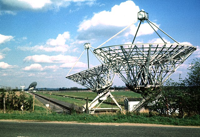
One-Mile Telescope
The One-Mile Telescope at the Mullard Radio Astronomy Observatory (MRAO), Cambridge, UK is an array of radio telescopes (two fixed and one moveable, fully...

Cosmic Anisotropy Telescope
The Cosmic Anisotropy Telescope (CAT) was a three-element interferometer for cosmic microwave background radiation (CMB/R) observations at 13 to 17 GHz...
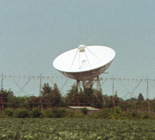
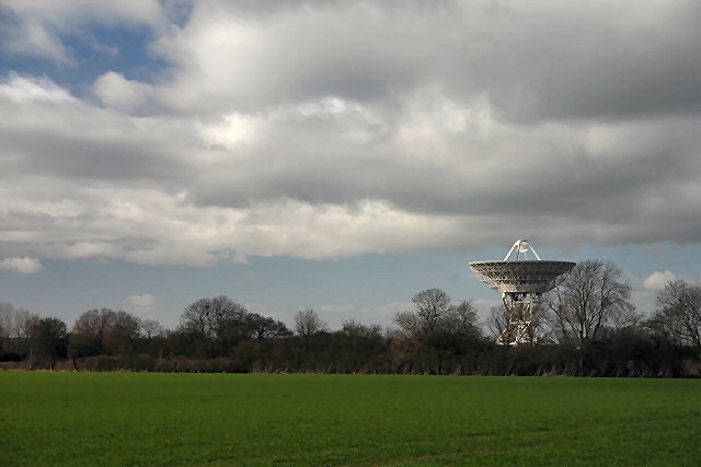
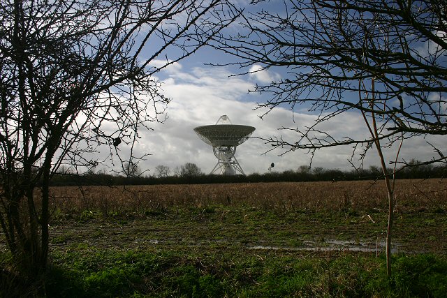
Mullard Radio Astronomy Observatory
The Mullard Radio Astronomy Observatory (MRAO) is located near Cambridge, UK and is home to a number of the largest and most advanced aperture synthesis...
Nearby Amenities
Located within 500m of 52.15485,0.0191518Have you been to Butler's Spinney?
Leave your review of Butler's Spinney below (or comments, questions and feedback).