The Old Moss
Downs, Moorland in Yorkshire
England
The Old Moss
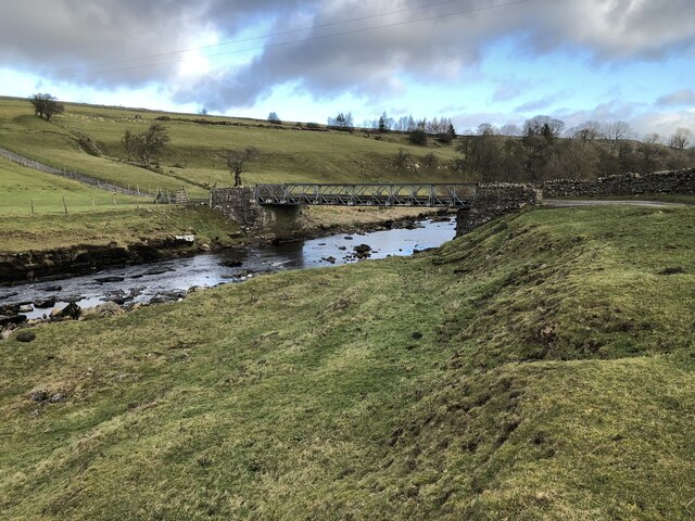
The Old Moss, located in Yorkshire, is a picturesque area that encompasses both the Yorkshire Downs and Moorland. With its stunning landscape and rich biodiversity, it is a popular destination for nature enthusiasts and hikers.
The Yorkshire Downs section of The Old Moss is characterized by rolling hills and expansive meadows. The lush greenery, dotted with vibrant wildflowers in the summer months, creates a serene and tranquil atmosphere. The Downs are home to a variety of wildlife, including rabbits, foxes, and various bird species. It is not uncommon to spot kestrels soaring through the skies or hear the distinctive call of the skylark.
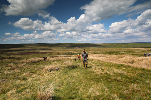
The Moorland area of The Old Moss is a stark contrast to the Downs. It is a rugged and wild terrain, dominated by vast stretches of heather and bracken. The purple hues of the heather in bloom provide a striking visual spectacle. Moorland birds such as curlews and lapwings can be seen nesting in the area, and occasionally, red grouse can be spotted too. The Moorland also boasts ancient stone formations and remnants of historic mining activity, adding to its cultural and historical significance.
The Old Moss offers numerous walking trails and paths, allowing visitors to explore its diverse landscapes. From leisurely strolls to challenging hikes, there are options suitable for all levels of fitness and experience. The area's natural beauty, combined with its rich biodiversity, makes The Old Moss a must-visit destination for nature lovers and those seeking a peaceful retreat amidst the Yorkshire countryside.
If you have any feedback on the listing, please let us know in the comments section below.
The Old Moss Images
Images are sourced within 2km of 54.520801/-2.0370592 or Grid Reference NY9713. Thanks to Geograph Open Source API. All images are credited.


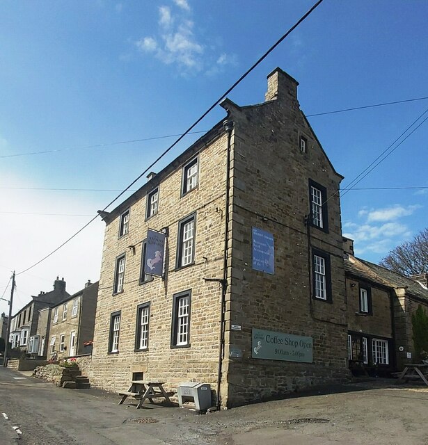
![Bowes houses [1] Bowes Hall, The Street, is a large house built in the early and later 17th century. The house was refronted and extended in the early or mid 18th century, when the two right bays and the top storey were added. Constructed of rubble stone, the later work squared and coursed, under a slate roof. Many original internal features and fittings remain. Listed, grade II, with details at: <span class="nowrap"><a title="https://historicengland.org.uk/listing/the-list/list-entry/1121071" rel="nofollow ugc noopener" href="https://historicengland.org.uk/listing/the-list/list-entry/1121071">Link</a><img style="margin-left:2px;" alt="External link" title="External link - shift click to open in new window" src="https://s1.geograph.org.uk/img/external.png" width="10" height="10"/></span>
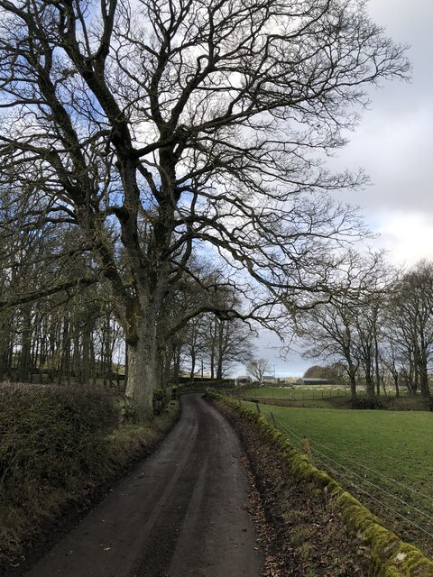
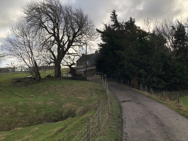
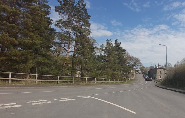
Bowes is a village in County Durham, some 14 miles northwest of Richmond and about 18½ miles due west of Darlington. Set on the north bank of the River Greta, the village was, until by-passed, astride the A66 trunk road. The Romans had a fort here, guarding the Stainmore pass over the Pennines, and their site was reused by the Normans who built a castle. The village grew around the castle, and the name Bowes is first mentioned in a charter of 1148.](https://s2.geograph.org.uk/geophotos/07/33/30/7333050_16951f3a.jpg)
![Bowes features [1] The garden walls, gate piers and gates of Bowes Hall <a href="https://www.geograph.org.uk/photo/7333050">NY9913 : Bowes houses [1]</a> were erected in the mid 18th century. Squared, coursed rubble stone walls and ashlar gate piers with mid 19th century iron gates. Listed, grade II, with details at: <span class="nowrap"><a title="https://historicengland.org.uk/listing/the-list/list-entry/1310919" rel="nofollow ugc noopener" href="https://historicengland.org.uk/listing/the-list/list-entry/1310919">Link</a><img style="margin-left:2px;" alt="External link" title="External link - shift click to open in new window" src="https://s1.geograph.org.uk/img/external.png" width="10" height="10"/></span>
Bowes is a village in County Durham, some 14 miles northwest of Richmond and about 18½ miles due west of Darlington. Set on the north bank of the River Greta, the village was, until by-passed, astride the A66 trunk road. The Romans had a fort here, guarding the Stainmore pass over the Pennines, and their site was reused by the Normans who built a castle. The village grew around the castle, and the name Bowes is first mentioned in a charter of 1148.](https://s0.geograph.org.uk/geophotos/07/33/30/7333052_37337ce4.jpg)
The Old Moss is located at Grid Ref: NY9713 (Lat: 54.520801, Lng: -2.0370592)
Division: North Riding
Unitary Authority: County Durham
Police Authority: Durham
What 3 Words
///interest.suspect.hothouse. Near Bowes, Co. Durham
Nearby Locations
Related Wikis

RAF Bowes Moor
RAF Bowes Moor was a chemical warfare agent (CWA) storage site run by the Royal Air Force during and after the Second World War. The site was to the north...

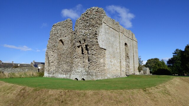
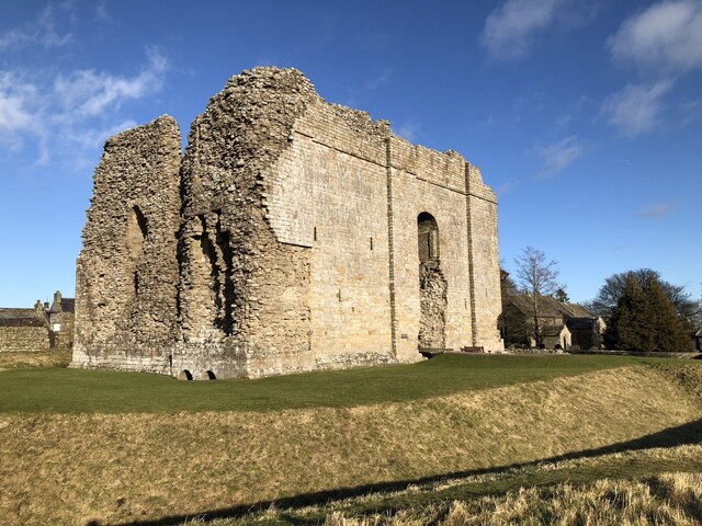
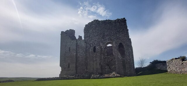
Bowes Castle
Bowes Castle is a medieval castle in the village of Bowes in County Durham, England. Built within the perimeter of the former Roman fort of Lavatrae, on...

Bowes
Bowes is a village in the historic county of Yorkshire and, since 1974, in the ceremonial county of County Durham, England. Located in the Pennine hills...

Bowes railway station
Bowes railway station was situated on the South Durham & Lancashire Union Railway between Barnard Castle and Kirkby Stephen East. == History == The line...
Nearby Amenities
Located within 500m of 54.520801,-2.0370592Have you been to The Old Moss?
Leave your review of The Old Moss below (or comments, questions and feedback).