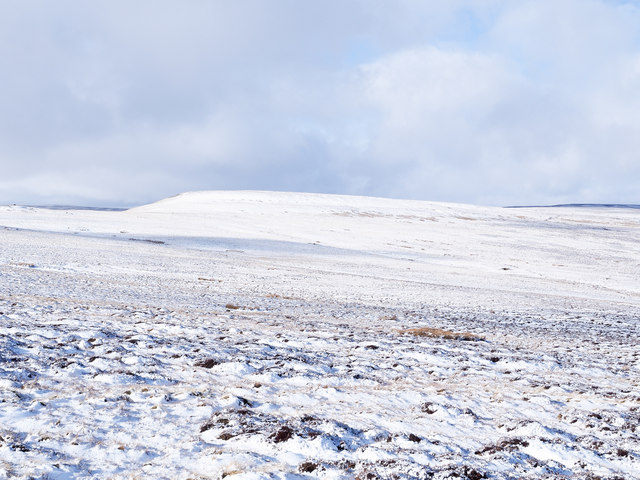
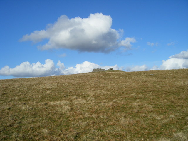
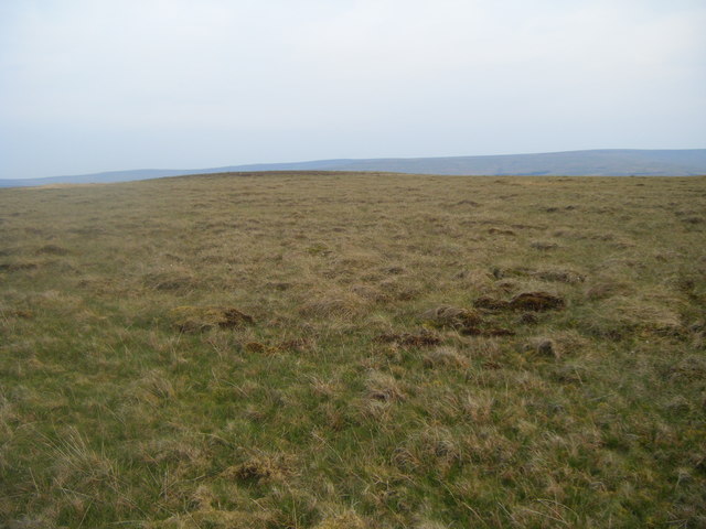
Stanhope Common
Downs, Moorland in Durham
England
Stanhope Common
The requested URL returned error: 429 Too Many Requests
If you have any feedback on the listing, please let us know in the comments section below.
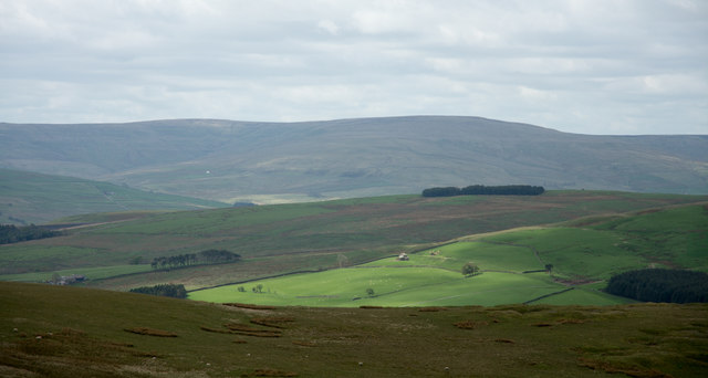
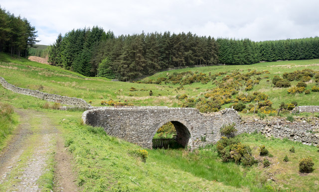
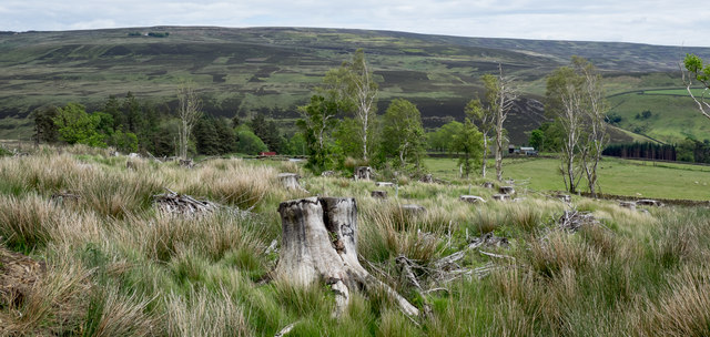
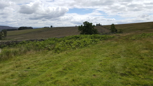
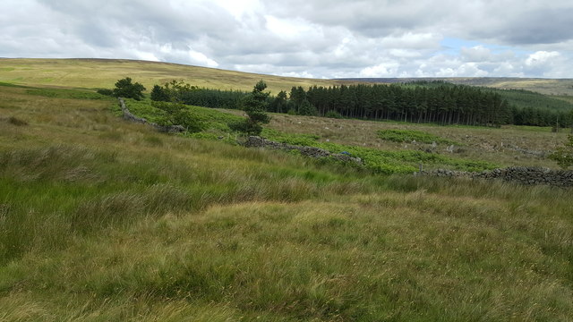
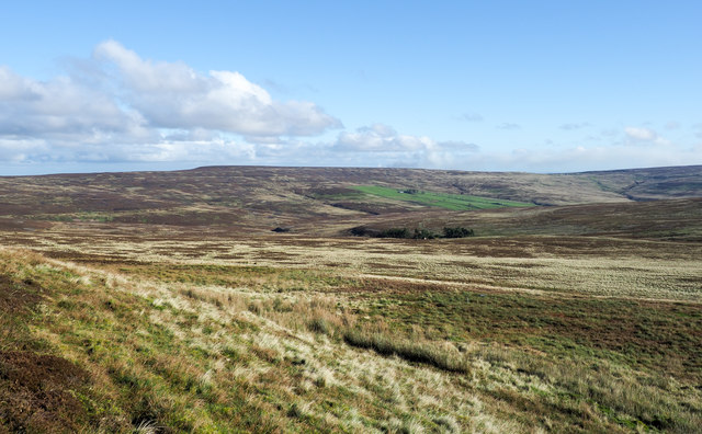
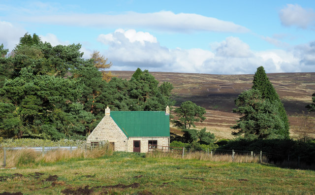
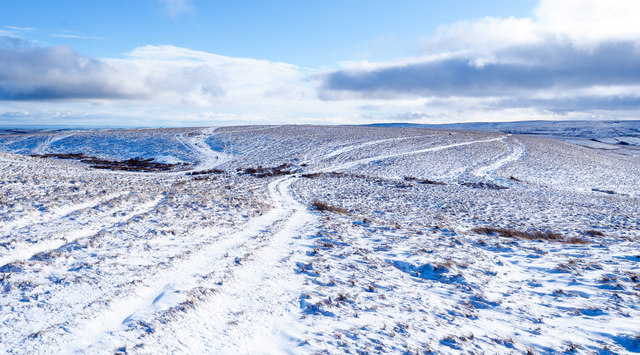
Stanhope Common Images
Images are sourced within 2km of 54.77557/-2.0487349 or Grid Reference NY9642. Thanks to Geograph Open Source API. All images are credited.


Stanhope Common is located at Grid Ref: NY9642 (Lat: 54.77557, Lng: -2.0487349)
Unitary Authority: County Durham
Police Authority: Durham
What 3 Words
///announced.rollers.spared. Near Stanhope, Co. Durham
Nearby Locations
Related Wikis

Heathery Burn Cave
Heathery Burn Cave is a cave near Stanhope, County Durham, England, in which a large collection of Late Bronze Age weapons and tools was discovered and...

Rookhope
Rookhope is a village in the civil parish of Stanhope, in County Durham, England. A former lead and fluorspar mining community, it first existed as a group...

Weardale Rural District
Weardale was a rural district in County Durham, England from 1894 to 1974. It was formed under the Local Government Act 1894 as a successor to the Weardale...
Crawley railway station (Durham)
Crawley railway station served the village of Crawleyside, County Durham, England, from 1845 to 1846 on the Stanhope and Tyne Railway. == History == The...
Nearby Amenities
Located within 500m of 54.77557,-2.0487349Have you been to Stanhope Common?
Leave your review of Stanhope Common below (or comments, questions and feedback).