Badbury Rings

Heritage Site in Dorset

England

Badbury Rings

Farmland view from Badbury Rings NT car park With the point to point course receding into the distance.
Farmland view from Badbury Rings NT car park Credit: David Martin

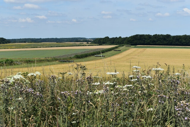
Badbury Rings, located in Dorset, England, is a prominent heritage site that holds immense historical and archaeological significance. Situated near the village of Shapwick, this ancient Iron Age hillfort is nestled atop a circular hill, offering breathtaking panoramic views of the surrounding countryside.

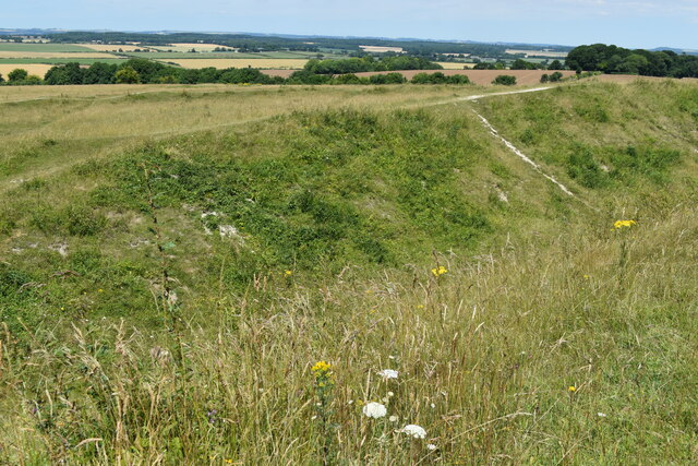
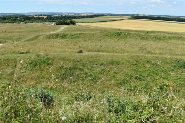
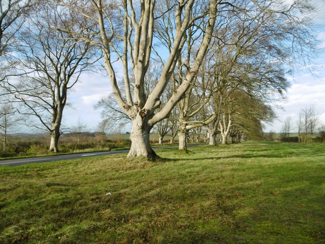
The origins of Badbury Rings date back over 2,000 years, with evidence suggesting human activity in the area since the Bronze Age. The hillfort itself was constructed in the late 6th century BC and was occupied until the Roman conquest of Britain in the 1st century AD. It consists of three concentric earthwork ramparts, enclosing an area of approximately 16 hectares.

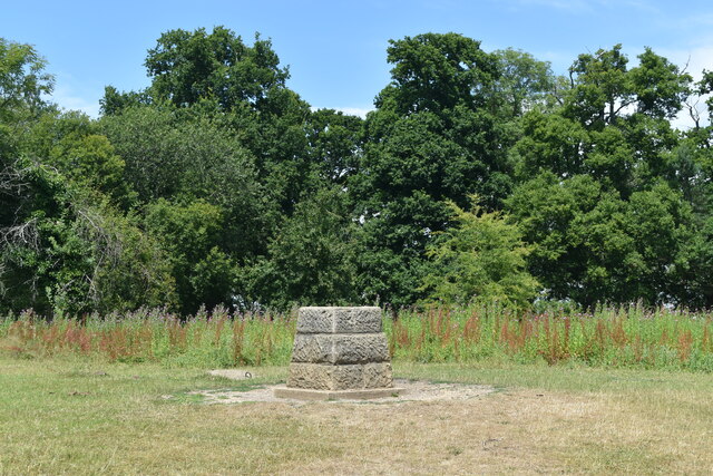
The site has been extensively studied by archaeologists, revealing fascinating insights into the Iron Age community that once inhabited the area. Excavations have uncovered evidence of timber and stone structures, as well as various artefacts, including pottery, tools, and even human remains.

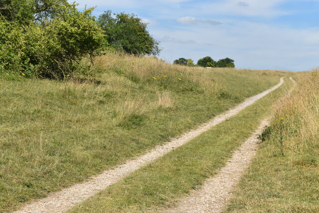
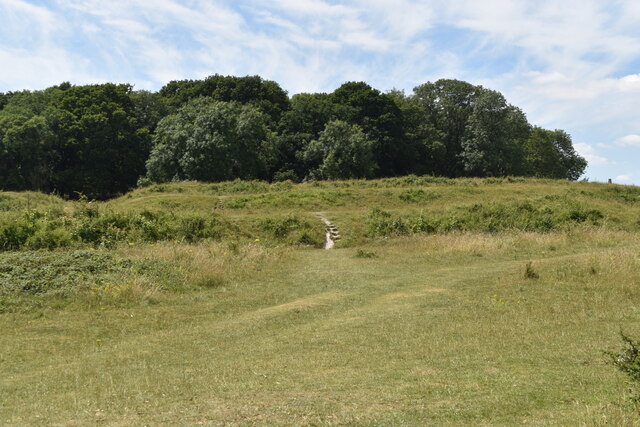
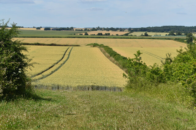
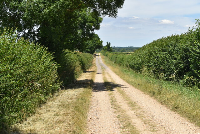
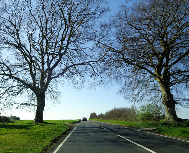
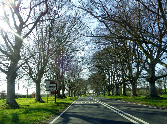
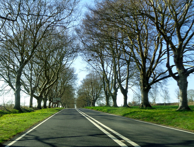
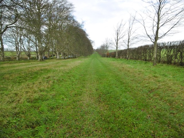
Badbury Rings is not only renowned for its historical significance but also for its natural beauty. The hillfort is surrounded by lush grassland and woodland, providing a haven for wildlife and offering visitors the opportunity to explore the picturesque landscape.

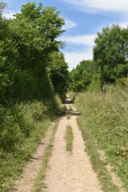
Today, Badbury Rings is managed by the National Trust and is open to the public year-round. Visitors can enjoy walking trails around the ancient earthworks, immersing themselves in the rich history and captivating scenery. The site also hosts various events and educational activities, providing a fascinating and immersive experience for all who visit.

If you have any feedback on the listing, please let us know in the comments section below.

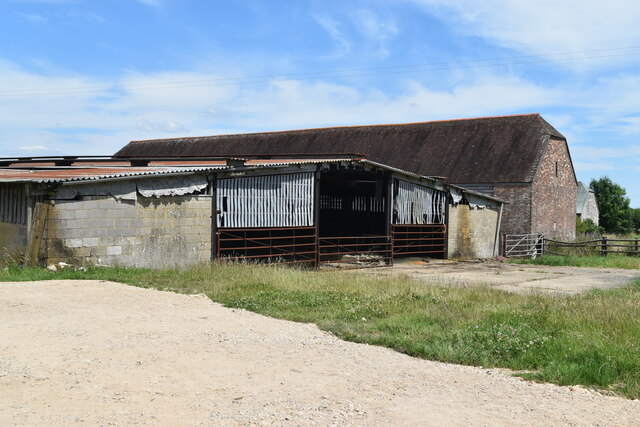
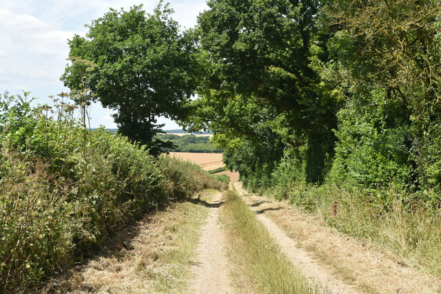
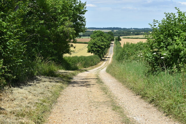
Badbury Rings Images

Images are sourced within 2km of 50.826399/-2.0552489 or Grid Reference ST9602. Thanks to Geograph Open Source API. All images are credited.

Farmland view from Badbury Rings NT car park With the point to point course receding into the distance.
Farmland view from Badbury Rings NT car park
With the point to point course receding into the distance.
Bridleway on course of Roman Road at Badbury Rings
Topograph stone at Badbury Rings The woodland appears to have grown up and obscured views of local landmarks presumably visible when this was installed.
Topograph stone at Badbury Rings
The woodland appears to have grown up and obscured views of local landmarks presumably visible when this was installed.
B3082 Blandford Road through avenue of trees near Badbury Rings
On the Iron Age earthworks at Badbury Rings
View to the summit of Badbury Rings The trig point is just visible on the horizon to the right.
View to the summit of Badbury Rings
The trig point is just visible on the horizon to the right.
View over the earthworks at Badbury Rings The National Trust car park is just visible to the left of the small copse.
View over the earthworks at Badbury Rings
The National Trust car park is just visible to the left of the small copse.
Bridleway east of Badbury Rings
Buildings at King Down Farm
Track west of The Oaks A private farm track, off the marked National Trust estate walk.
Track west of The Oaks
A private farm track, off the marked National Trust estate walk.
Farmland view northwest towards Abbeycroft Down In the left distance is the former Tarrant Rushton Airfield site, with a hangar just visible between the trees.
Farmland view northwest towards Abbeycroft Down
In the left distance is the former Tarrant Rushton Airfield site, with a hangar just visible between the trees.
Hardy Way on farm track north of King Down Farm
Beech Avenue The last two trees at the north-west end of the avenue of beech trees near Badbury Rings.
Beech Avenue
The last two trees at the north-west end of the avenue of beech trees near Badbury Rings.
Turn for Sturminster Marshall Blandford Road, amongst the avenue of beech trees, near Badbury Rings.
Turn for Sturminster Marshall
Blandford Road, amongst the avenue of beech trees, near Badbury Rings.
The B3082 near Badbury Rings Approaching the turn for Shapwick (left) or Badbury Rings car park (right) on the B3082 between Wimborne and Blandford.
The B3082 near Badbury Rings
Approaching the turn for Shapwick (left) or Badbury Rings car park (right) on the B3082 between Wimborne and Blandford.
Shapwick, beech avenue A few of the once 731 beeches lining the approach to Kingston Lacy; 366 on one side, and 365 on the other. Planted by William Bankes for his mother in 1835.
Shapwick, beech avenue
A few of the once 731 beeches lining the approach to Kingston Lacy; 366 on one side, and 365 on the other. Planted by William Bankes for his mother in 1835.
Shapwick, track Parallel to Blandford Road (left, behind the beech avenue), and servicing farmland to the right. Also to the right, young beech trees, planted by the National Trust as successors to the current avenue.
Shapwick, track
Parallel to Blandford Road (left, behind the beech avenue), and servicing farmland to the right. Also to the right, young beech trees, planted by the National Trust as successors to the current avenue.
Show me another place!

Badbury Rings is located at Grid Ref: ST9602 (Lat: 50.826399, Lng: -2.0552489)

Unitary Authority: Dorset

Police Authority: Dorset

What 3 Words

///commented.ghost.sunroof. Near Sturminster Marshall, Dorset

Related Wikis

Badbury Rings

Badbury Rings is an Iron Age hill fort and Scheduled Monument in east Dorset, England. It was in the territory of the Durotriges. In the Roman era a temple...

Kingston Lacy

Kingston Lacy is a country house and estate near Wimborne Minster, Dorset, England. It was for many years the family seat of the Bankes family who lived...

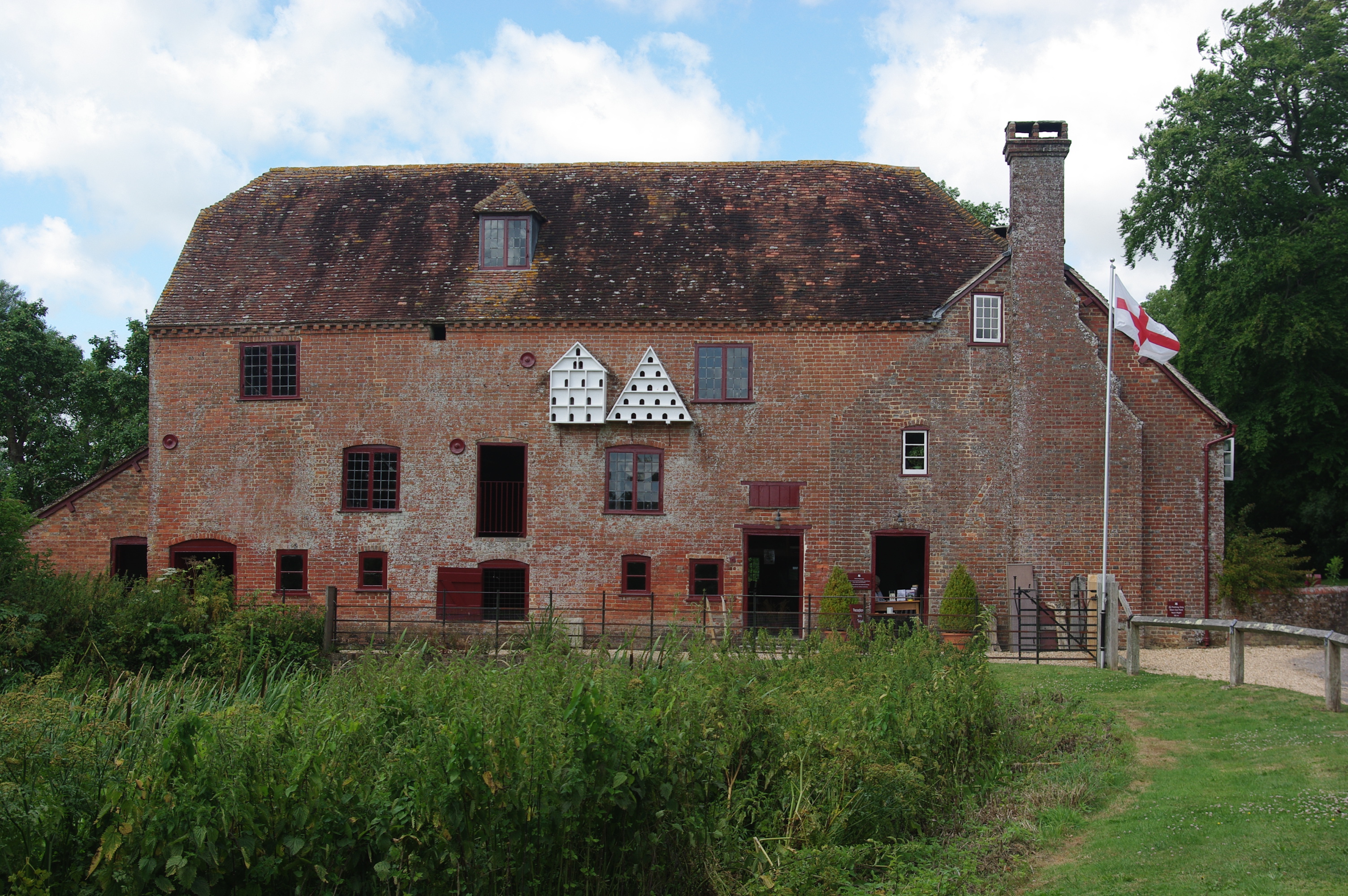
White Mill, Sturminster Marshall

White Mill is an 18th-century water powered corn mill near Sturminster Marshall in Dorset on the River Stour which is in the care of the National Trust...

Philae obelisk

The Philae obelisk is one of a pair of twin obelisks erected at Philae in Upper Egypt in the second century BC. It was discovered by William John Bankes...

Shapwick, Dorset

Shapwick is a village and civil parish in east Dorset, England, situated on the River Stour five miles south-east of Blandford Forum and eight miles north...

RAF Tarrant Rushton

Royal Air Force Tarrant Rushton or more simply RAF Tarrant Rushton is a former Royal Air Force station near the village of Tarrant Rushton east of Blandford...

River Winterborne

There are two River Winterbornes in Dorset, England.The rivers only flow overground during the winter, hence the name. They both flow through a number...

St Stephen's Church, Pamphill

St Stephen's is the parish church of Pamphill in Dorset, England.The current church lies on the site of a former church dating from 1229. The current church...

Related Videos

Kingston Lacy Dorset ~ June Holiday 2019 Day # 13

kingstonlacy #nationaltrust #placestovisitindorset #holidaysindorset #dorset We visit Kingston Lacy owned by the National trust, ...

Kingston Lacy | National Trust | Snowdrops | Full Walkthrough

Join us for another National Trust adventure, time time at the beautiful Kingston Lacy. We find over 70 varieties of Snowdrops here ...

Kingston Lacy | National Trust | Walkthrough

One of our favourite National Trust properties, join us for a walk around in the lovely British weather #NationalTrust #Hiking ...

Nearby Amenities

Located within 500m of 50.826399,-2.0552489
Barrier: stile
Lat/Long: 50.8294178/-2.0535613
Badbury Rings
Email: kingstonlacy@nationaltrust.org.uk
Historic: archaeological_site
Historic Civilization: celtic;roman
Name La: Vindocladia
Note: Part of Kingston Lacey
Phone: +44 1202 883402
Website: http://www.hiddendorset.org/index.php/hd/gem/hd1141.html
Wikidata: Q798831
Wikipedia: en:Badbury Rings
Lat/Long: 50.8262617/-2.0525425
Man Made: survey_point
Source: GPS; Survey
Lat/Long: 50.8273957/-2.0503017
Information: board
Tourism: information
Lat/Long: 50.8274625/-2.0581648
Leisure: picnic_table
Lat/Long: 50.8275485/-2.0580505
Leisure: picnic_table
Lat/Long: 50.8274524/-2.0580977
Tourism: viewpoint
Lat/Long: 50.8264289/-2.0524797
Badbury Rings
Ele: 100
Natural: peak
Lat/Long: 50.8265265/-2.0524775
Barrier: stile
Lat/Long: 50.8253903/-2.0613526
The data included in this document is from www.openstreetmap.org. The data is made available under ODbL.

Have you been to Badbury Rings?

Leave your review of Badbury Rings below (or comments, questions and feedback).