Starbotton Cam Pasture
Downs, Moorland in Yorkshire Craven
England
Starbotton Cam Pasture
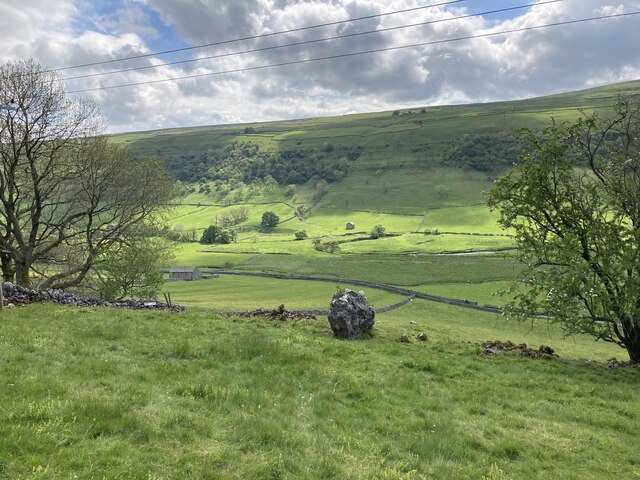
Starbotton Cam Pasture is a picturesque and idyllic location nestled in the heart of Yorkshire, England. Situated in the region known for its breathtaking landscapes, including the Downs and Moorland, this area offers visitors a true taste of rural beauty.
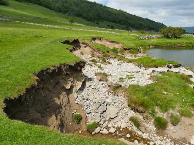
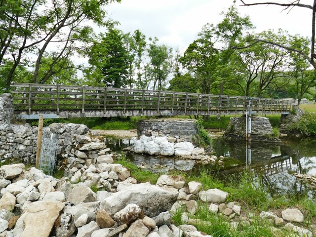
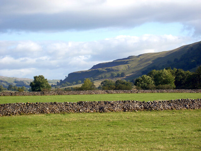
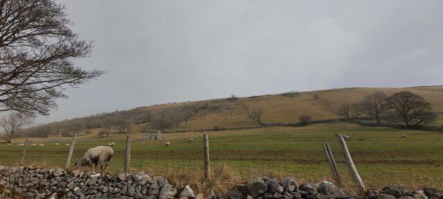
The pasture itself is a vast expanse of lush green fields, surrounded by rolling hills and meandering streams. It is home to a diverse range of flora and fauna, making it a haven for nature lovers and wildlife enthusiasts. Visitors can expect to spot a variety of bird species, such as the curlew and lapwing, as well as rabbits and hares darting through the grass.
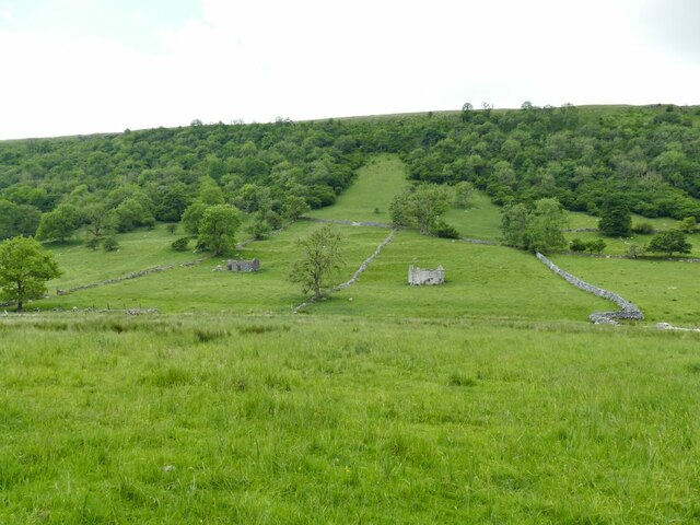
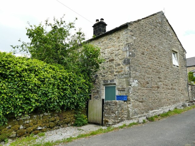
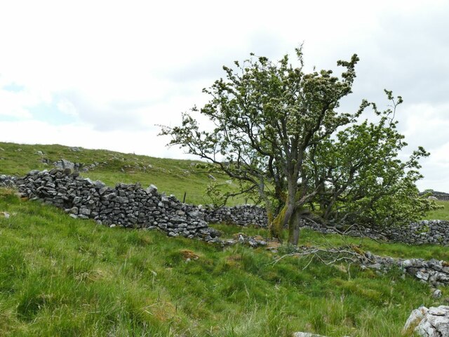
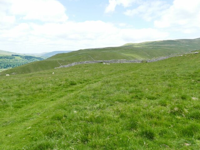
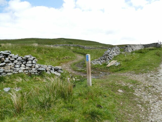
The landscape of Starbotton Cam Pasture is characterized by dry stone walls, which divide the land into smaller plots and add to its rustic charm. These walls have withstood the test of time, serving as a reminder of the area's agricultural history.
Hikers and walkers are drawn to this area for its tranquil and unspoiled beauty. There are numerous trails and footpaths that crisscross the pasture, providing visitors with ample opportunities to explore the surrounding countryside. The views from the higher vantage points are simply breathtaking, offering panoramic vistas of the surrounding countryside.
For those seeking a peaceful retreat away from the hustle and bustle of city life, Starbotton Cam Pasture is the perfect destination. Whether it's a leisurely picnic on a sunny day or a long walk to soak in the natural beauty, this Yorkshire gem is sure to leave a lasting impression on all who visit.
If you have any feedback on the listing, please let us know in the comments section below.
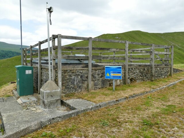
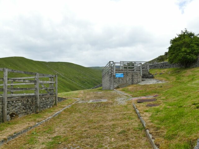
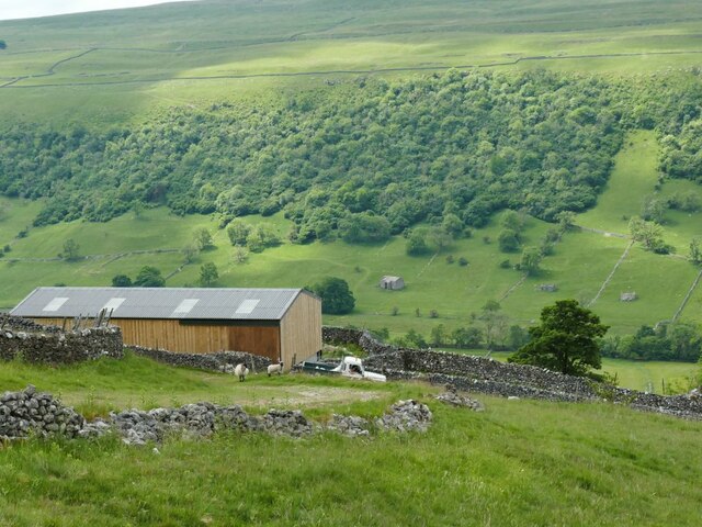
Starbotton Cam Pasture Images
Images are sourced within 2km of 54.174121/-2.0626359 or Grid Reference SD9675. Thanks to Geograph Open Source API. All images are credited.


Starbotton Cam Pasture is located at Grid Ref: SD9675 (Lat: 54.174121, Lng: -2.0626359)
Division: West Riding
Administrative County: North Yorkshire
District: Craven
Police Authority: North Yorkshire
What 3 Words
///tearfully.bends.encoding. Near Grassington, North Yorkshire
Nearby Locations
Related Wikis

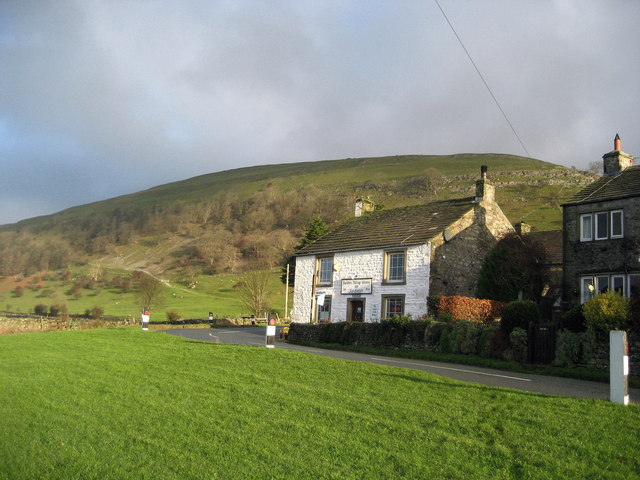
Starbotton
Starbotton is a village of around 60 houses in Upper Wharfedale in the Craven district of North Yorkshire, England. It is situated in the Yorkshire Dales...

Kettlewell with Starbotton
Kettlewell with Starbotton is a civil parish in the Craven district of North Yorkshire, England. Kettlewell is a village in Upper Wharfedale, North Yorkshire...
Buckden, North Yorkshire
Buckden is a village and civil parish in the Craven district of North Yorkshire, England. Historically part of the West Riding of Yorkshire, Buckden is...
Kettlewell
Kettlewell is a village in Upper Wharfedale, North Yorkshire, England. Historically part of the West Riding of Yorkshire, it lies 6 miles (10 km) north...

Buckden Pike
Buckden Pike is a fell at the head of Wharfedale, a valley in the Yorkshire Dales, that stands above the village of Buckden, England. At 702 metres (2...

Cray, North Yorkshire
Cray is a hamlet on the B6160 road on a steep hill above Wharfedale in the Yorkshire Dales, North Yorkshire, England. It is near Buckden and the River...

Birks Fell
Birks Fell is a hill in the Yorkshire Dales, near to Hubberholme in North Yorkshire, England. It is classed as a Marilyn (a hill with topographic prominence...
Hubberholme
Hubberholme is an old village in Upper Wharfedale in the Yorkshire Dales, North Yorkshire, England, at the point where Langstrothdale meets Wharfedale...
Nearby Amenities
Located within 500m of 54.174121,-2.0626359Have you been to Starbotton Cam Pasture?
Leave your review of Starbotton Cam Pasture below (or comments, questions and feedback).