South Lawn
Downs, Moorland in Staffordshire Stafford
England
South Lawn
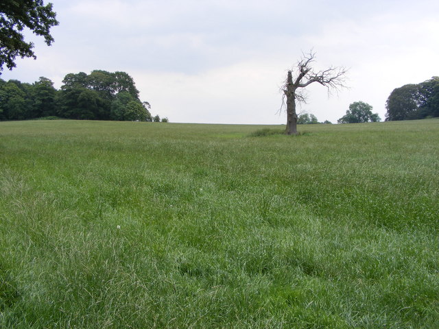
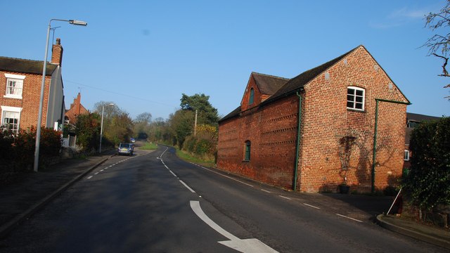
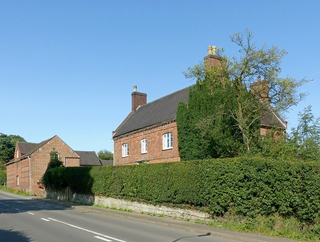
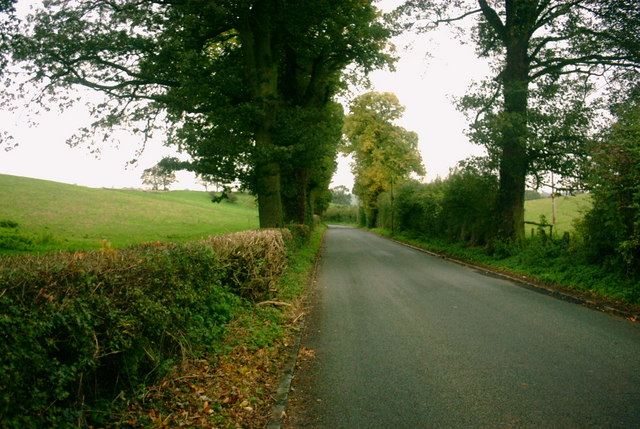
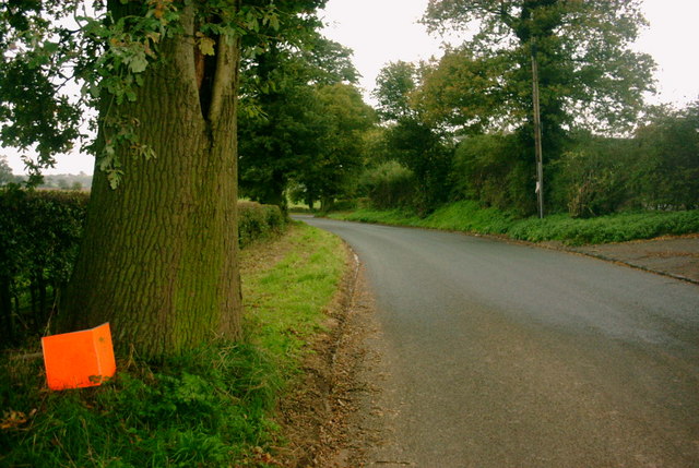
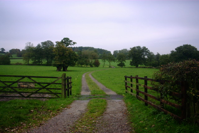
South Lawn is a picturesque area located in Staffordshire, England, known for its stunning downs and moorland landscapes. Situated in the heart of the county, it offers visitors a perfect blend of natural beauty and tranquil surroundings.
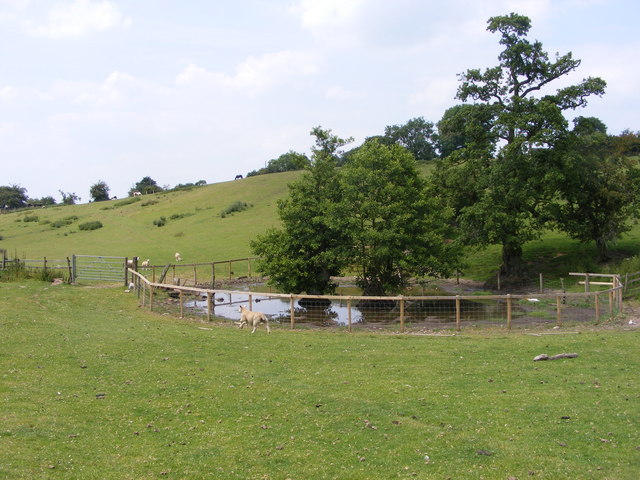
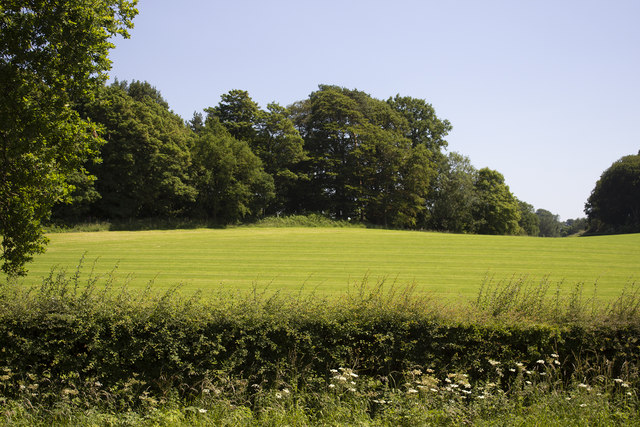
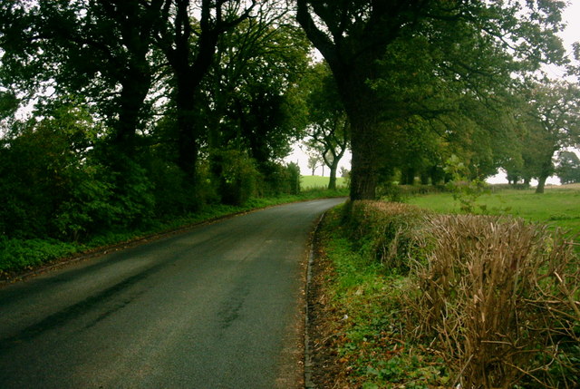
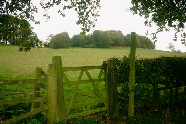
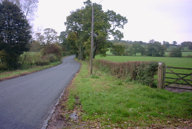
The downs of South Lawn are characterized by rolling hills covered in lush, green grass, creating a scenic backdrop for outdoor activities such as hiking, walking, and picnicking. The area is dotted with a variety of wildflowers, adding bursts of color to the landscape during the spring and summer months. The downs also offer breathtaking views of the surrounding countryside, with panoramic vistas stretching as far as the eye can see.
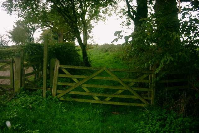
In addition to the downs, South Lawn boasts vast expanses of moorland, which are characterized by open, heather-covered hillsides. These moorlands create a unique and rugged atmosphere, attracting nature enthusiasts and wildlife photographers alike. Visitors can spot various bird species, including grouse and skylarks, as well as other wildlife such as rabbits and deer.
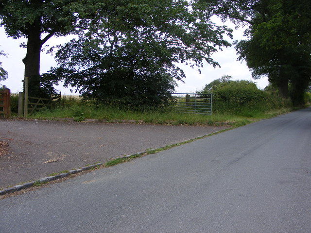
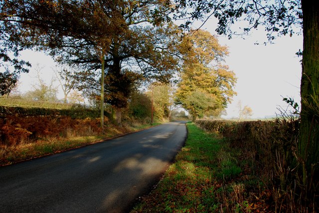
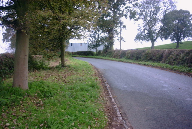
South Lawn is also home to several walking trails and nature reserves, allowing visitors to explore the area's natural wonders at their own pace. The peacefulness and tranquility of the surroundings make it an ideal destination for those looking to escape the hustle and bustle of city life.
Overall, South Lawn, Staffordshire offers a captivating blend of downs and moorland landscapes, providing visitors with a serene and picturesque environment to enjoy the beauty of nature.
If you have any feedback on the listing, please let us know in the comments section below.
South Lawn Images
Images are sourced within 2km of 52.854635/-2.0622859 or Grid Reference SJ9528. Thanks to Geograph Open Source API. All images are credited.


South Lawn is located at Grid Ref: SJ9528 (Lat: 52.854635, Lng: -2.0622859)
Administrative County: Staffordshire
District: Stafford
Police Authority: Staffordshire
What 3 Words
///agreeable.done.blog. Near Great Haywood, Staffordshire
Nearby Locations
Related Wikis

Sandon Hall
Sandon Hall is a 19th-century country mansion, the seat of the Earl of Harrowby, at Sandon, Staffordshire, 5 miles (8.0 km) northeast of Stafford. It is...

Salt, Staffordshire
Salt is a village in the Borough of Stafford in Staffordshire, England. It is three miles northeast of Stafford situated half a mile southwest of the A51...

Salt and Sandon railway station
Salt and Sandon railway station was a former British railway station opened by the Stafford and Uttoxeter Railway to serve the village of Salt in Staffordshire...

Sandon railway station
Sandon railway station was a railway station opened by the North Staffordshire Railway to serve the village of Sandon, Staffordshire, England. For some...
Nearby Amenities
Located within 500m of 52.854635,-2.0622859Have you been to South Lawn?
Leave your review of South Lawn below (or comments, questions and feedback).