Fox Earth
Wood, Forest in Staffordshire Stafford
England
Fox Earth
Fox Earth is a charming village nestled in the county of Staffordshire, England. Located in the heart of the Midlands, the village is renowned for its stunning woodlands and enchanting forests, offering a haven for nature lovers and outdoor enthusiasts alike.
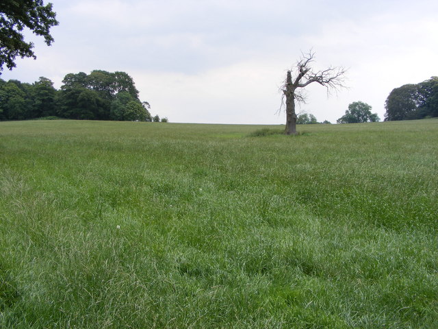
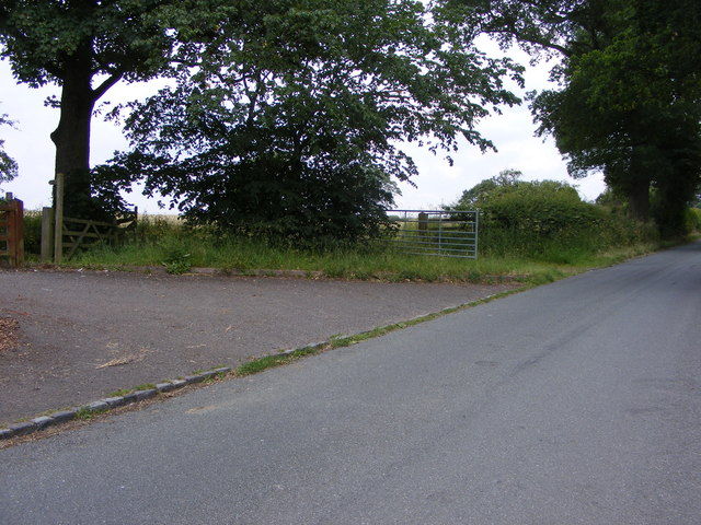
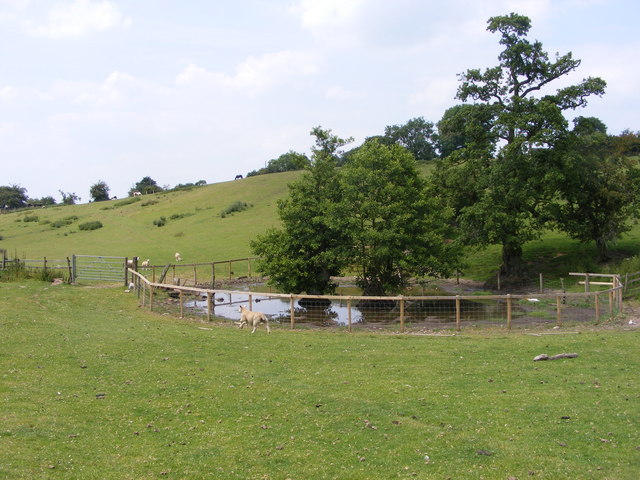
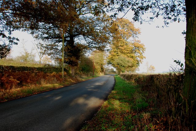
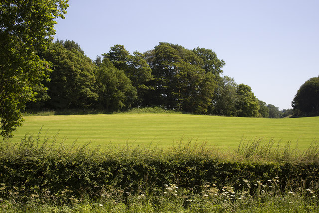
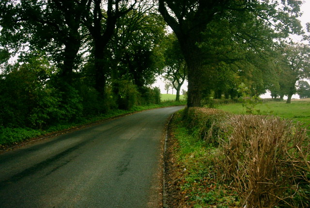
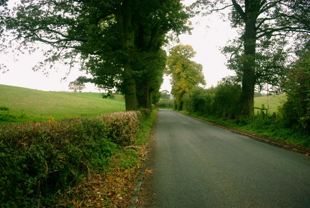
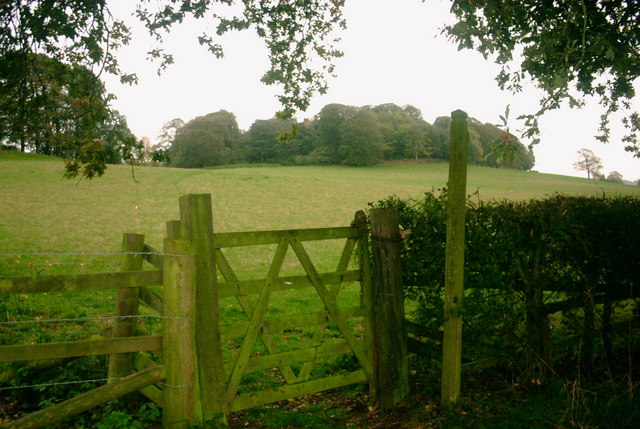
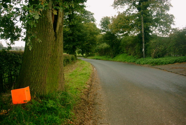
Surrounded by picturesque landscapes, Fox Earth is blessed with an abundance of natural beauty. The village is characterized by its lush greenery, towering trees, and meandering streams, all contributing to its serene and idyllic setting. The woodlands in and around Fox Earth are particularly noteworthy, providing a peaceful retreat for residents and visitors to explore and enjoy.
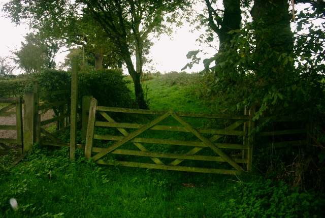
The forested areas in Fox Earth are home to a diverse range of flora and fauna, creating a thriving ecosystem. Nature lovers can expect to encounter a variety of wildlife, including deer, foxes, and a myriad of bird species. The woodlands also offer numerous walking trails, allowing visitors to immerse themselves in the tranquility of the surroundings and discover hidden gems along the way.
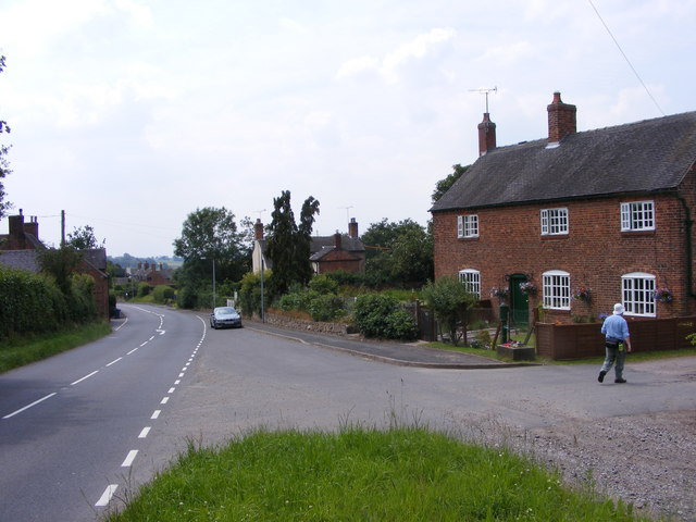
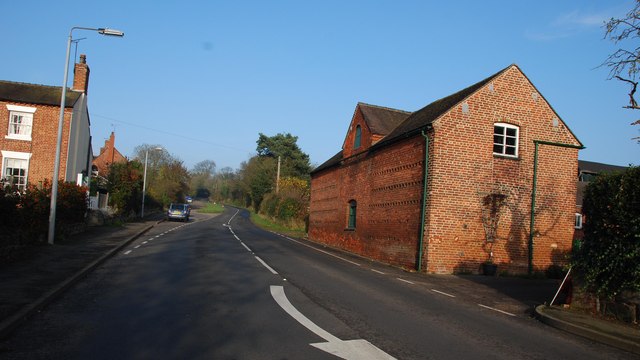
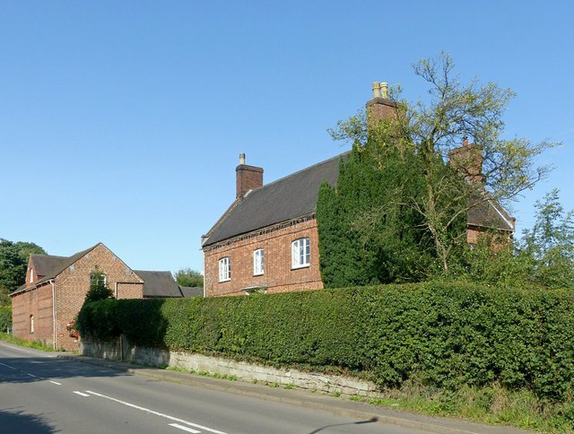
Aside from its natural beauty, Fox Earth boasts a close-knit and welcoming community. The village is dotted with picturesque cottages and historic buildings, adding to its quaint and charming atmosphere. The residents take great pride in their heritage and actively participate in preserving the village's unique character.
In summary, Fox Earth in Staffordshire is a captivating village renowned for its lush woodlands and enchanting forests. With its breathtaking natural scenery and close community, it offers a perfect retreat for those seeking solace amidst nature's embrace.
If you have any feedback on the listing, please let us know in the comments section below.
Fox Earth Images
Images are sourced within 2km of 52.853636/-2.0654624 or Grid Reference SJ9528. Thanks to Geograph Open Source API. All images are credited.


Fox Earth is located at Grid Ref: SJ9528 (Lat: 52.853636, Lng: -2.0654624)
Administrative County: Staffordshire
District: Stafford
Police Authority: Staffordshire
What 3 Words
///headboard.tunes.bearable. Near Stafford, Staffordshire
Nearby Locations
Related Wikis

Sandon Hall
Sandon Hall is a 19th-century country mansion, the seat of the Earl of Harrowby, at Sandon, Staffordshire, 5 miles (8.0 km) northeast of Stafford. It is...

Salt, Staffordshire
Salt is a village in the Borough of Stafford in Staffordshire, England. It is three miles northeast of Stafford situated half a mile southwest of the A51...

Salt and Sandon railway station
Salt and Sandon railway station was a former British railway station opened by the Stafford and Uttoxeter Railway to serve the village of Salt in Staffordshire...

Sandon railway station
Sandon railway station was a railway station opened by the North Staffordshire Railway to serve the village of Sandon, Staffordshire, England. For some...

Sandon, Staffordshire
Sandon is a village in the civil parish of Sandon and Burston, in the Stafford district, in the county of Staffordshire, England. It is about 4.5 miles...

Battle of Hopton Heath
The battle of Hopton Heath was a battle of the First English Civil War, fought on Sunday 19 March 1643 between Parliamentarian forces led by Sir John Gell...

Weston, Staffordshire
Weston is a village and civil parish. within the English county of Staffordshire. The parish is in the local authority of Stafford (non-metropolitan district...
Weston and Ingestre railway station
Weston and Ingestre railway station was a former British railway station opened by the North Staffordshire Railway to serve the village of Ingestre in...
Nearby Amenities
Located within 500m of 52.853636,-2.0654624Have you been to Fox Earth?
Leave your review of Fox Earth below (or comments, questions and feedback).