Sherrington Down

Downs, Moorland in Wiltshire

England

Sherrington Down

A303, westbound The A303 is a main trunk road running 92 miles between Basingstoke and Honiton. Along with the A30 and M3 it forms a major route between London and the South West. Much of the road is dual carriageway, but some stretches remain single and prone to congestion.

Wikipedia: <span class="nowrap"><a title="http://en.wikipedia.org/wiki/A303_road" rel="nofollow ugc noopener" href="http://en.wikipedia.org/wiki/A303_road">Link</a><img style="margin-left:2px;" alt="External link" title="External link - shift click to open in new window" src="https://s1.geograph.org.uk/img/external.png" width="10" height="10"/></span>
A303, westbound Credit: N Chadwick

Sherrington Down is a picturesque expanse of downs and moorland located in the county of Wiltshire, England. The down is situated near the village of Sherrington, approximately 5 miles northwest of the town of Warminster. Covering an area of around 1.5 square miles, Sherrington Down is a designated Site of Special Scientific Interest (SSSI) due to its outstanding natural beauty and its importance for its wildlife.

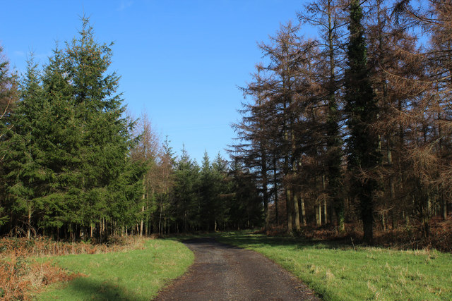
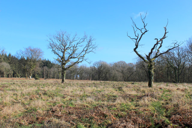
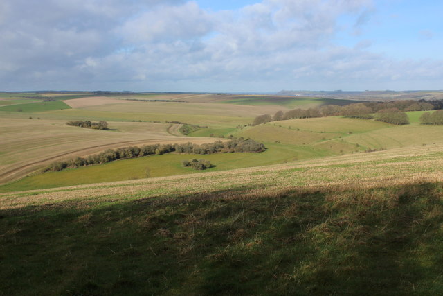
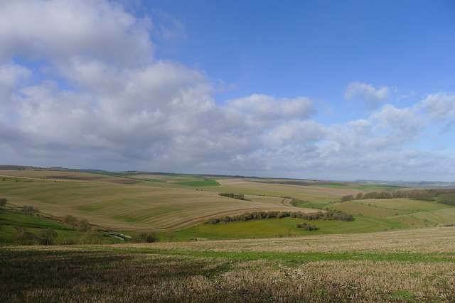
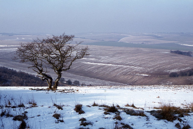
The landscape of Sherrington Down is characterized by rolling hills, open grassland, and heathland. The down is predominantly covered in a mixture of grasses, including sheep's fescue and red fescue, dotted with patches of gorse and heather. The higher areas of the down offer breathtaking views of the surrounding countryside, including the nearby Salisbury Plain.

The down is home to a diverse range of flora and fauna, with several species of wildflowers, butterflies, and birds calling it their habitat. The open grassland provides an ideal environment for ground-nesting birds such as skylarks and meadow pipits. Additionally, the down is known for its population of rare and protected species, including the small blue butterfly and the silver-studded blue butterfly.

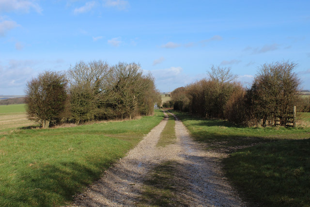
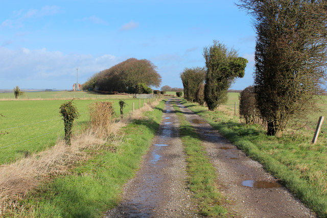
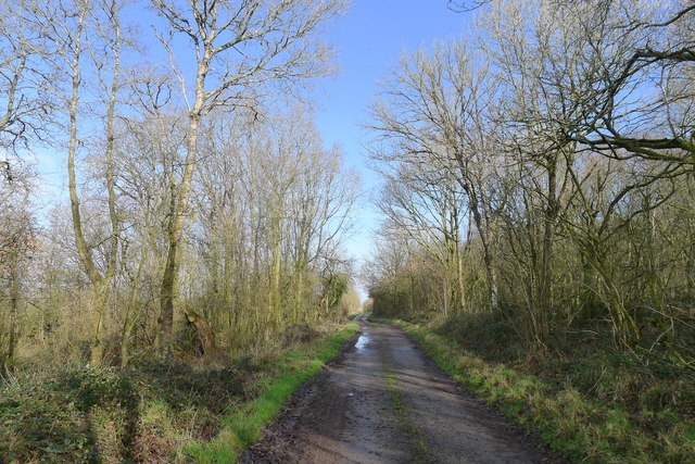
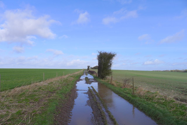
Sherrington Down offers a peaceful and tranquil setting, attracting visitors who enjoy walking, hiking, and birdwatching. The down is crisscrossed by a network of footpaths and bridleways, allowing visitors to explore and appreciate the natural beauty of the area. The variety of habitats and the stunning views make Sherrington Down a popular destination for nature enthusiasts and those seeking an escape into the great outdoors.

If you have any feedback on the listing, please let us know in the comments section below.

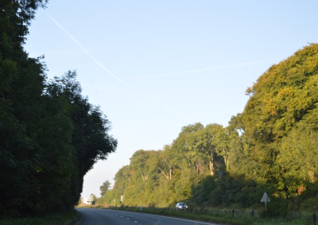
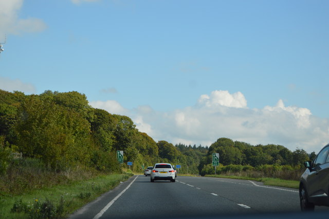
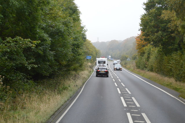
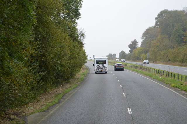
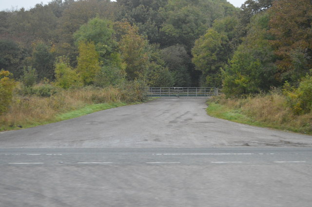
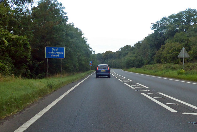
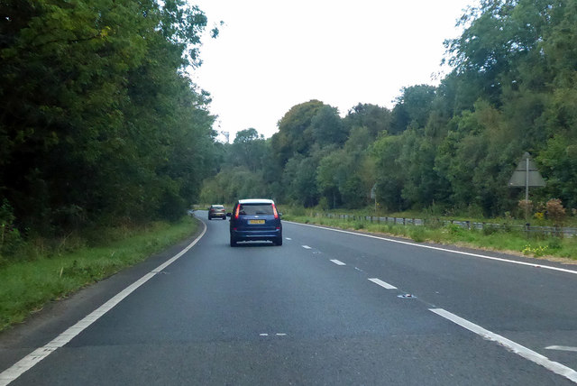
Sherrington Down Images

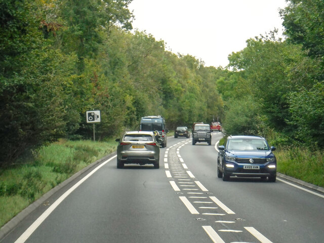
Images are sourced within 2km of 51.131857/-2.0727068 or Grid Reference ST9536. Thanks to Geograph Open Source API. All images are credited.

A303, westbound The A303 is a main trunk road running 92 miles between Basingstoke and Honiton. Along with the A30 and M3 it forms a major route between London and the South West. Much of the road is dual carriageway, but some stretches remain single and prone to congestion.

Wikipedia: <span class="nowrap"><a title="http://en.wikipedia.org/wiki/A303_road" rel="nofollow ugc noopener" href="http://en.wikipedia.org/wiki/A303_road">Link</a><img style="margin-left:2px;" alt="External link" title="External link - shift click to open in new window" src="https://s1.geograph.org.uk/img/external.png" width="10" height="10"/></span>
A303, westbound
The A303 is a main trunk road running 92 miles between Basingstoke and Honiton. Along with the A30 and M3 it forms a major route between London and the South West. Much of the road is dual carriageway, but some stretches remain single and prone to congestion. Wikipedia: LinkExternal link
A303, eastbound The A303 is a main trunk road running 92 miles between Basingstoke and Honiton. Along with the A30 and M3 it forms a major route between London and the South West. Much of the road is dual carriageway, but some stretches remain single and prone to congestion.

Wikipedia: <span class="nowrap"><a title="http://en.wikipedia.org/wiki/A303_road" rel="nofollow ugc noopener" href="http://en.wikipedia.org/wiki/A303_road">Link</a><img style="margin-left:2px;" alt="External link" title="External link - shift click to open in new window" src="https://s1.geograph.org.uk/img/external.png" width="10" height="10"/></span>
A303, eastbound
The A303 is a main trunk road running 92 miles between Basingstoke and Honiton. Along with the A30 and M3 it forms a major route between London and the South West. Much of the road is dual carriageway, but some stretches remain single and prone to congestion. Wikipedia: LinkExternal link
A303, westbound The A303 is a main trunk road running 92 miles between Basingstoke and Honiton. Along with the A30 and M3 it forms a major route between London and the South West. Much of the road is dual carriageway, but some stretches remain single and prone to congestion.

Wikipedia: <span class="nowrap"><a title="http://en.wikipedia.org/wiki/A303_road" rel="nofollow ugc noopener" href="http://en.wikipedia.org/wiki/A303_road">Link</a><img style="margin-left:2px;" alt="External link" title="External link - shift click to open in new window" src="https://s1.geograph.org.uk/img/external.png" width="10" height="10"/></span>
A303, westbound
The A303 is a main trunk road running 92 miles between Basingstoke and Honiton. Along with the A30 and M3 it forms a major route between London and the South West. Much of the road is dual carriageway, but some stretches remain single and prone to congestion. Wikipedia: LinkExternal link
Fonthill Bushes
Fonthill Bushes
A303 heading west
A303 heading west
A303 heading west Just at the start of a dual carriageway section.
A303 heading west
Just at the start of a dual carriageway section.
Wessex Ridgeway heading North through Great Ridge Wood The long distance footpath following a good wide track between conifers
Wessex Ridgeway heading North through Great Ridge Wood
The long distance footpath following a good wide track between conifers
Clearing in Great Ridge Wood
View over Corton Down Sweeping view over the West Wiltshire Downs from the Wessex Ridgeway as it emerges from the Great Ridge Wood.
View over Corton Down
Sweeping view over the West Wiltshire Downs from the Wessex Ridgeway as it emerges from the Great Ridge Wood.
Wessex Ridgeway on Corton Down A good firm track helps make good progress as the long distance footpath heads northwards.
Wessex Ridgeway on Corton Down
A good firm track helps make good progress as the long distance footpath heads northwards.
Following the Wessex Ridgeway over Corton Down The Wessex Ridgeway is a 136-mile long-distance footpath which runs from Marlborough in Wiltshire to Lyme Regis in Dorset. It was opened in 1994. 

Wikipedia entry: <span class="nowrap"><a title="https://en.wikipedia.org/wiki/Wessex_Ridgeway" rel="nofollow ugc noopener" href="https://en.wikipedia.org/wiki/Wessex_Ridgeway">Link</a><img style="margin-left:2px;" alt="External link" title="External link - shift click to open in new window" src="https://s1.geograph.org.uk/img/external.png" width="10" height="10"/></span>
Following the Wessex Ridgeway over Corton Down
The Wessex Ridgeway is a 136-mile long-distance footpath which runs from Marlborough in Wiltshire to Lyme Regis in Dorset. It was opened in 1994. Wikipedia entry: LinkExternal link
Solitary oak, Great Ridge woods A clearing in predominantly coniferous planting
Solitary oak, Great Ridge woods
A clearing in predominantly coniferous planting
The Wessex Ridgeway path about to leave the northern edge of the Great Ridge woodlands
The West Wiltshire Downs viewed from Great Ridge A chalk downland Area of Outstanding Natural Beauty
The West Wiltshire Downs viewed from Great Ridge
A chalk downland Area of Outstanding Natural Beauty
Track along the ridge of Corton Down Puddles on easily drained chalk downs testify to what would become the wettest February on record.
Track along the ridge of Corton Down
Puddles on easily drained chalk downs testify to what would become the wettest February on record.
Downland and lone hawthron tree near Rowdean Hill
Chilmark : A303 Looking along the A303.
Chilmark : A303
Looking along the A303.
Show me another place!

Sherrington Down is located at Grid Ref: ST9536 (Lat: 51.131857, Lng: -2.0727068)

Unitary Authority: Wiltshire

Police Authority: Wiltshire

What 3 Words

///cleanest.coverage.waxes. Near Boyton, Wiltshire

Related Wikis

Stockton Wood and Down

Stockton Wood and Down (grid reference ST958366) is a 61.5 hectare biological Site of Special Scientific Interest in the southwest of Stockton parish in...

Great Ridge Wood

Great Ridge Wood, formerly also known as Chicklade Wood, is one of the largest woodlands in southern Wiltshire, England. Mostly within the parishes of...

Sherrington

Sherrington is a small village and civil parish on the River Wylye in Wiltshire, England. The part of the Great Ridge Wood known as Snailcreep Hanging...
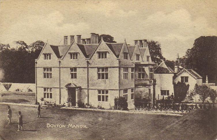
Boyton, Wiltshire

Boyton is a village and civil parish in Wiltshire, England. It lies in the Wylye Valley within Salisbury Plain, about 6 miles (10 km) south-east of Warminster...

Nearby Amenities

Located within 500m of 51.131857,-2.0727068
Sherrington Down
Place: locality
Lat/Long: 51.1324946/-2.0718241
The data included in this document is from www.openstreetmap.org. The data is made available under ODbL.

Have you been to Sherrington Down?

Leave your review of Sherrington Down below (or comments, questions and feedback).