Knook Down
Downs, Moorland in Wiltshire
England
Knook Down
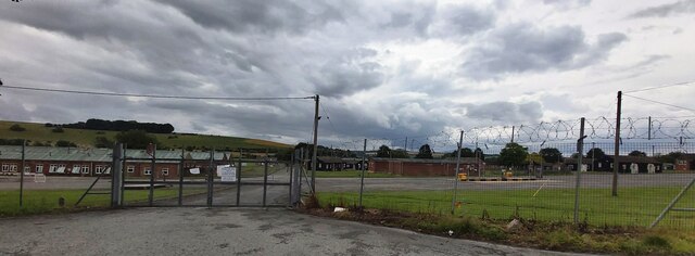
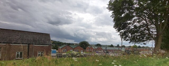
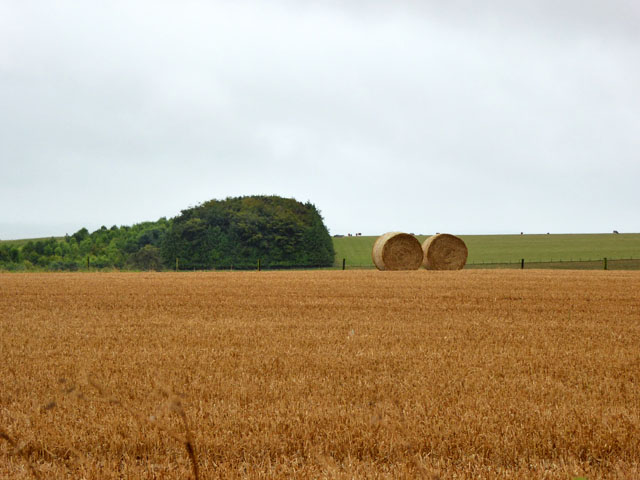
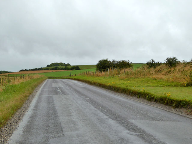
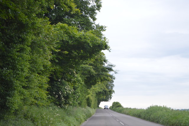
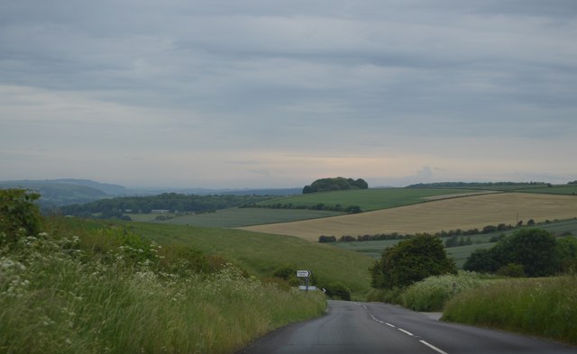
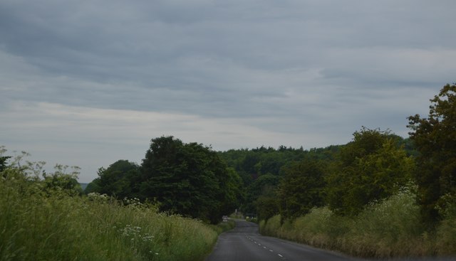
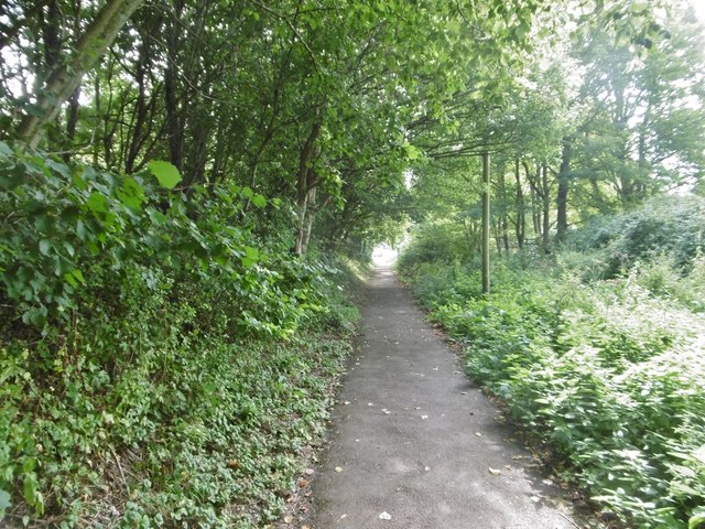
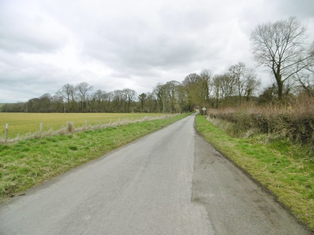
Knook Down is a rural area located in Wiltshire, England, known for its picturesque downs and moorland landscapes. Situated near the village of Knook, this area is characterized by rolling hills, open fields, and scattered patches of woodland, offering stunning views of the surrounding countryside.
The downs of Knook Down are home to a variety of flora and fauna, including wildflowers, grasses, and birds such as skylarks and meadow pipits. The moorland areas are rich in biodiversity, with heather, gorse, and bracken providing habitat for insects, reptiles, and small mammals.
Visitors to Knook Down can enjoy walking, hiking, and birdwatching in this peaceful and unspoiled natural setting. The area is also popular with cyclists and horse riders, who can explore the network of trails and bridleways that crisscross the countryside.
Overall, Knook Down offers a tranquil retreat for those seeking to experience the beauty of the Wiltshire countryside, with its rolling downs and expansive moorland providing a peaceful escape from the hustle and bustle of urban life.
If you have any feedback on the listing, please let us know in the comments section below.
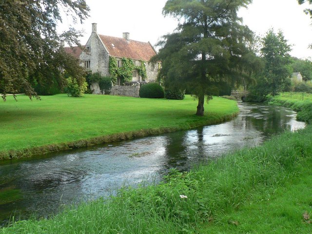
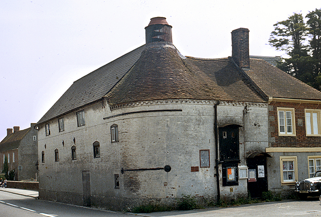
Knook Down Images
Images are sourced within 2km of 51.191285/-2.0729294 or Grid Reference ST9543. Thanks to Geograph Open Source API. All images are credited.


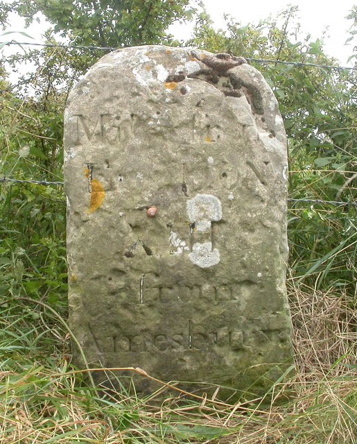
Knook Down is located at Grid Ref: ST9543 (Lat: 51.191285, Lng: -2.0729294)
Unitary Authority: Wiltshire
Police Authority: Wiltshire
What 3 Words
///strutted.tweeted.trump. Near Boyton, Wiltshire
Nearby Locations
Related Wikis

Knook Castle
Knook Castle is the site of an Iron Age univallate hillfort on Knook Down, near the village of Knook in Wiltshire, England, but largely within the civil...
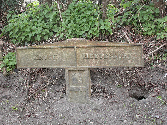
Knook
Knook is a small village and civil parish in Wiltshire, England. The village lies to the north of the River Wylye at the edge of Salisbury Plain, about...
Heytesbury
Heytesbury is a village (formerly considered to be a town) and a civil parish in Wiltshire, England. The village lies on the north bank of the Wylye, about...
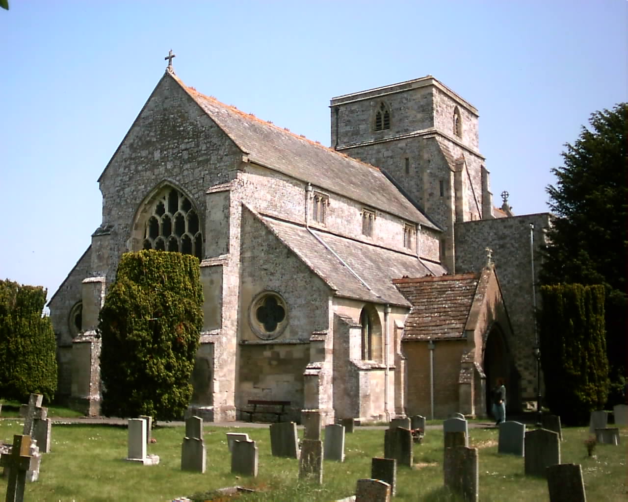
Church of St Peter and St Paul, Heytesbury
The Church of St Peter and St Paul, Heytesbury is the Church of England parish church for the parish of Heytesbury with Tytherington and Knook, Wiltshire...
Have you been to Knook Down?
Leave your review of Knook Down below (or comments, questions and feedback).