Aber-pergwm
Settlement in Glamorgan
Wales
Aber-pergwm

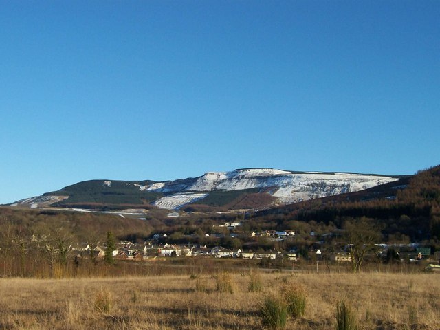
Aber-pergwm is a small village located in the county of Glamorgan, Wales. Situated in the Neath Valley, it lies on the southern edge of the Brecon Beacons National Park. Aber-pergwm is surrounded by stunning natural beauty, with rolling hills, lush greenery, and the nearby River Neath adding to its charm.
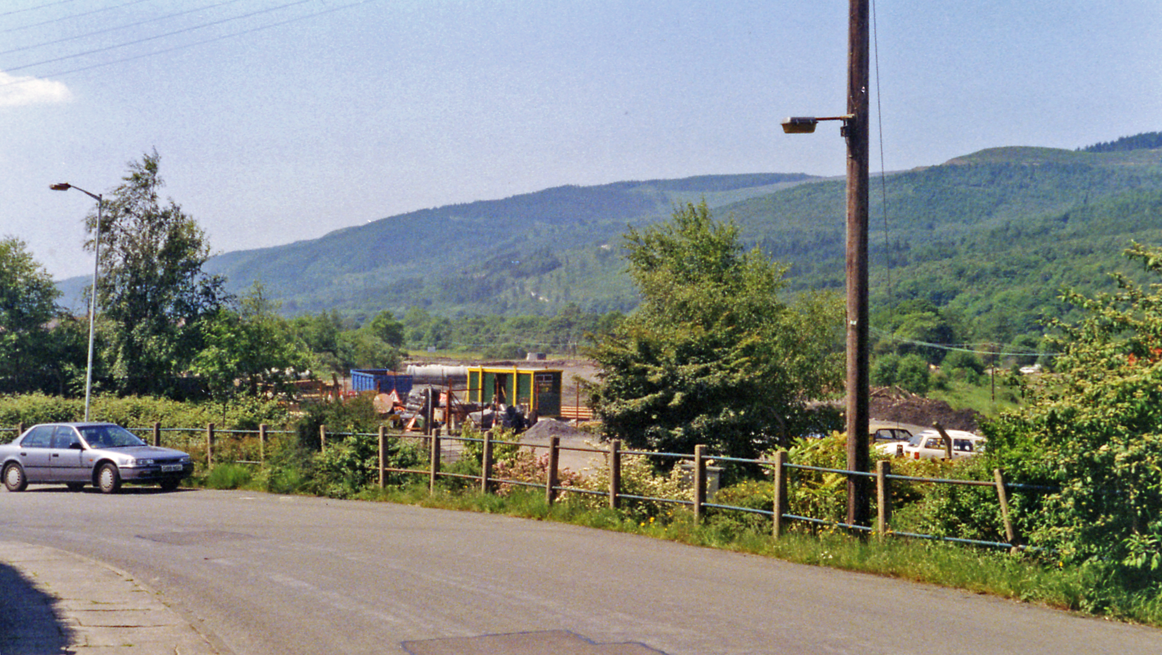
The village is known for its rich history, dating back many centuries. It was once a thriving coal mining community during the industrial revolution, with several collieries operating in the area. Today, remnants of this industrial past can still be seen, with old mine shafts and buildings serving as reminders of Aber-pergwm's mining heritage.
Despite its small size, Aber-pergwm offers a range of amenities to its residents and visitors. The village has a local pub, providing a focal point for socializing and community gatherings. There are also several picturesque walking trails in the surrounding countryside, allowing visitors to explore the natural beauty of the area.
Aber-pergwm benefits from its proximity to nearby towns and cities. Neath, a larger town, is just a short drive away and offers a wider range of amenities, including shops, restaurants, and leisure facilities. The city of Swansea is also within reach, providing further shopping, cultural, and entertainment options.
Overall, Aber-pergwm is a peaceful and picturesque village, offering residents and visitors a tranquil escape into the beauty of the Welsh countryside while still providing easy access to nearby towns and cities.
If you have any feedback on the listing, please let us know in the comments section below.
Aber-pergwm Images
Images are sourced within 2km of 51.744045/-3.649163 or Grid Reference SN8606. Thanks to Geograph Open Source API. All images are credited.


![Parish Road / Ffordd y Ffirad Ffordd y Ffirad (Offeiriad), hen heol i Lyncorrwg.
Parish Road, and old thoroughfare to Glyncorrwg (trans. [river] Corrwg valley).](https://s1.geograph.org.uk/geophotos/07/52/13/7521393_2b519248.jpg)


Aber-pergwm is located at Grid Ref: SN8606 (Lat: 51.744045, Lng: -3.649163)
Unitary Authority: Neath Port Talbot
Police Authority: South Wales
Also known as: Aberpergwm
What 3 Words
///scouting.dynamic.emotional. Near Glyn-neath, Neath Port Talbot
Nearby Locations
Related Wikis
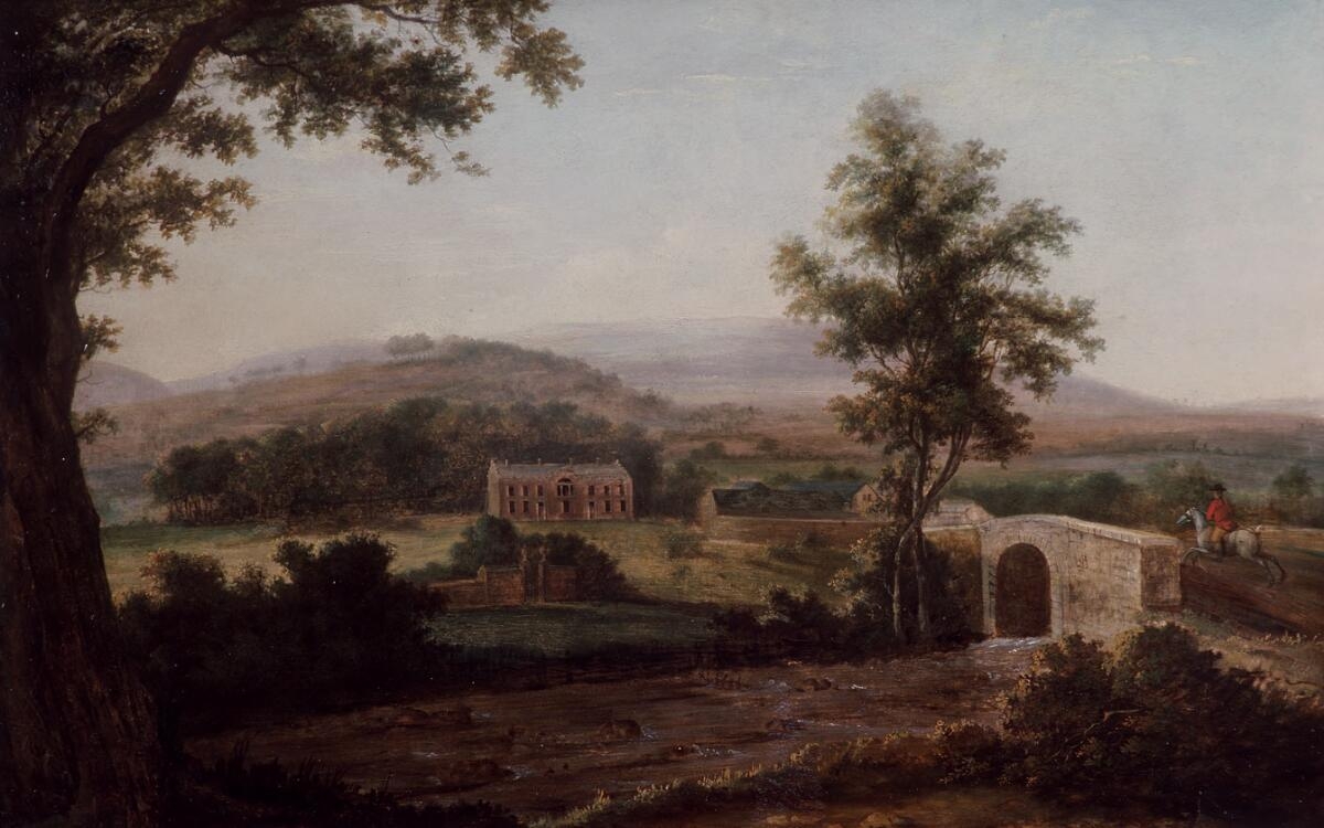
Aberpergwm House
Aberpergwm House (Welsh: Aberpergwm) is an abandoned and ruinous country house located in Glynneath, Wales. Within the grounds of the house sits the church...

St Cadoc's Church, Glynneath
St. Cadoc's Church is a Church in Wales church in Glynneath, Wales. It is located in the grounds of the now derelict Aberpergwm House for which it was...
Glyn Neath railway station
Glyn Neath railway station served the town of Glynneath, in the historical county of Glamorganshire, Wales, from 1851 to 1964 on the Vale of Neath Railway...
Blaengwrach
Blaengwrach ( blyne-GRAHKH, Welsh: [ˌblainˈɡwraːχ]) is a community near Glynneath and Resolven in the county borough of Neath Port Talbot, Wales. It is...

Aberpergwm
Aberpergwm is the site of a colliery in the Vale of Neath near Glynneath in south Wales. == Mine history == The site at Aberpergwm had been worked since...
Cwmrhyd-y-Gau Halt railway station
Cwmrhyd-y-Gau railway station served the area of Cwm Rhyd-y-Gau, in the historical county of Glamorganshire, Wales, from 1935 to 1945 on the Vale of Neath...

Coed Hills
Coed Hills Rural Artspace is a sustainable community close to the village of St Hilary in the Vale of Glamorgan, Wales, approximately 8 miles (13 km) west...
Vale of Neath
The Vale of Neath (or Neath Valley, Welsh: Cwm Nedd), one of the South Wales Valleys, encompasses the upper reaches of the River Neath in southwest Wales...
Nearby Amenities
Located within 500m of 51.744045,-3.649163Have you been to Aber-pergwm?
Leave your review of Aber-pergwm below (or comments, questions and feedback).