Aberpergwm
Settlement in Glamorgan
Wales
Aberpergwm

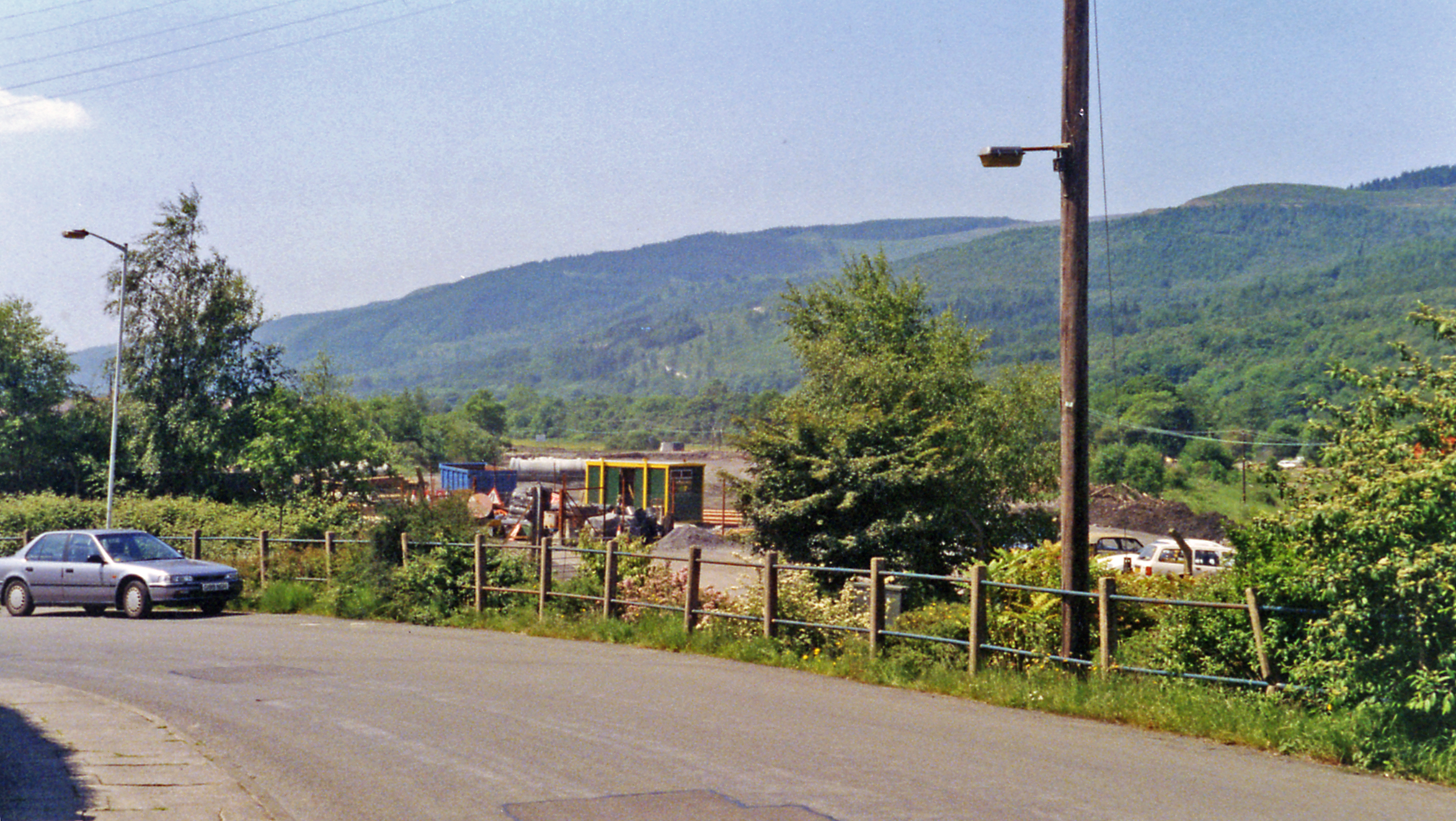
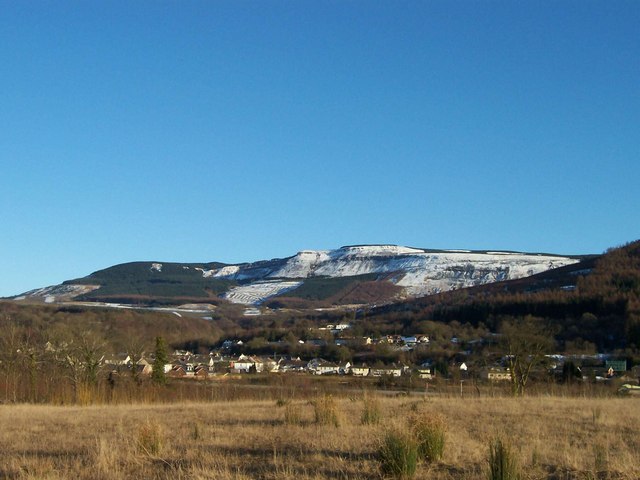
Aberpergwm is a small village located in the county of Glamorgan, Wales. Situated in the Neath Valley, it lies approximately 10 miles northeast of the town of Neath. The village is nestled amidst the picturesque countryside, surrounded by rolling hills and lush greenery.
Historically, Aberpergwm was an important coal mining area, with deep mines operating in the region from the 19th century until the decline of the industry in the mid-20th century. The village grew around the mining activities, with the colliery being a major employer for the local population.
Today, Aberpergwm is a quiet residential area, with a small but close-knit community. The village is known for its scenic beauty, attracting nature enthusiasts and hikers who explore the nearby trails and enjoy the peaceful countryside.
A notable landmark in Aberpergwm is the Aberpergwm House, a grand Georgian mansion that dates back to the 18th century. The house is set in extensive grounds and is a reminder of the village's historical significance.
Despite its small size, Aberpergwm has a strong sense of community, with various social and recreational activities taking place throughout the year. It also benefits from its proximity to larger towns such as Neath, where residents can access a wider range of amenities and services.
In summary, Aberpergwm is a charming village in Glamorgan, Wales, known for its tranquil surroundings and historical ties to the coal mining industry. It offers a peaceful lifestyle for its residents and serves as an attractive destination for nature lovers.
If you have any feedback on the listing, please let us know in the comments section below.
Aberpergwm Images
Images are sourced within 2km of 51.744045/-3.649163 or Grid Reference SN8606. Thanks to Geograph Open Source API. All images are credited.


![Parish Road / Ffordd y Ffirad Ffordd y Ffirad (Offeiriad), hen heol i Lyncorrwg.
Parish Road, and old thoroughfare to Glyncorrwg (trans. [river] Corrwg valley).](https://s1.geograph.org.uk/geophotos/07/52/13/7521393_2b519248.jpg)


Aberpergwm is located at Grid Ref: SN8606 (Lat: 51.744045, Lng: -3.649163)
Unitary Authority: Neath Port Talbot
Police Authority: South Wales
Also known as: Aber-pergwm
What 3 Words
///scouting.dynamic.emotional. Near Glyn-neath, Neath Port Talbot
Nearby Locations
Related Wikis
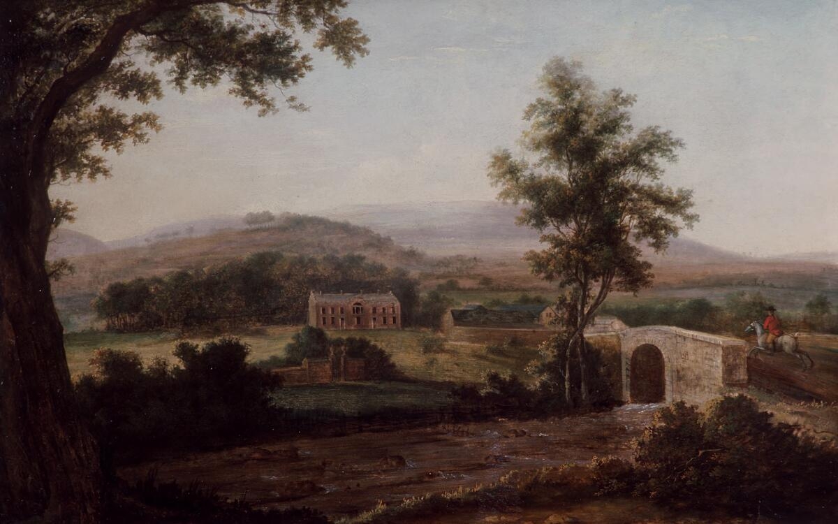
Aberpergwm House
Aberpergwm House (Welsh: Aberpergwm) is an abandoned and ruinous country house located in Glynneath, Wales. Within the grounds of the house sits the church...

St Cadoc's Church, Glynneath
St. Cadoc's Church is a Church in Wales church in Glynneath, Wales. It is located in the grounds of the now derelict Aberpergwm House for which it was...
Glyn Neath railway station
Glyn Neath railway station served the town of Glynneath, in the historical county of Glamorganshire, Wales, from 1851 to 1964 on the Vale of Neath Railway...
Blaengwrach
Blaengwrach ( blyne-GRAHKH, Welsh: [ˌblainˈɡwraːχ]) is a community near Glynneath and Resolven in the county borough of Neath Port Talbot, Wales. It is...

Aberpergwm
Aberpergwm is the site of a colliery in the Vale of Neath near Glynneath in south Wales. == Mine history == The site at Aberpergwm had been worked since...
Cwmrhyd-y-Gau Halt railway station
Cwmrhyd-y-Gau railway station served the area of Cwm Rhyd-y-Gau, in the historical county of Glamorganshire, Wales, from 1935 to 1945 on the Vale of Neath...

Coed Hills
Coed Hills Rural Artspace is a sustainable community close to the village of St Hilary in the Vale of Glamorgan, Wales, approximately 8 miles (13 km) west...
Vale of Neath
The Vale of Neath (or Neath Valley, Welsh: Cwm Nedd), one of the South Wales Valleys, encompasses the upper reaches of the River Neath in southwest Wales...
Nearby Amenities
Located within 500m of 51.744045,-3.649163Have you been to Aberpergwm?
Leave your review of Aberpergwm below (or comments, questions and feedback).