Hadzor Open space
Downs, Moorland in Worcestershire Wychavon
England
Hadzor Open space
Hadzor Open Space is a picturesque nature reserve located in Worcestershire, England. Covering an area of approximately 100 acres, it is a diverse and beautiful landscape consisting of downs and moorland. The open space is situated on the outskirts of the village of Hadzor, offering a tranquil escape from the hustle and bustle of everyday life.
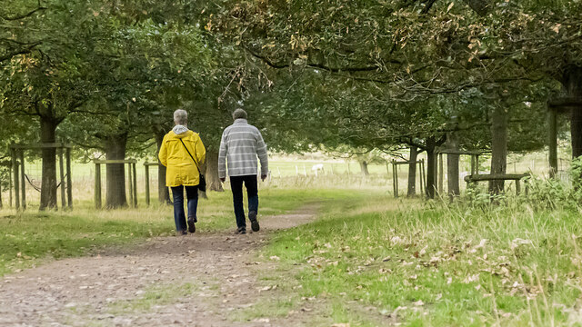
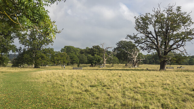
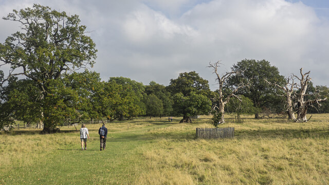
The downs at Hadzor Open Space are characterized by gently rolling hills covered in lush grasses and dotted with wildflowers. These open areas provide ample space for recreational activities such as picnicking, kite flying, and walking. The downs also offer breathtaking panoramic views of the surrounding countryside, making it a popular spot for nature enthusiasts and photographers.
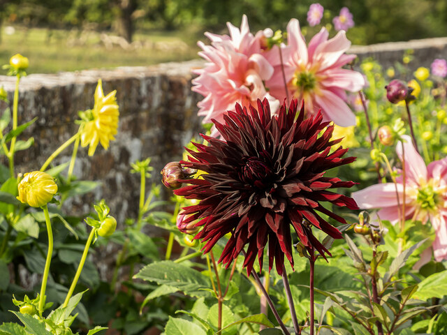
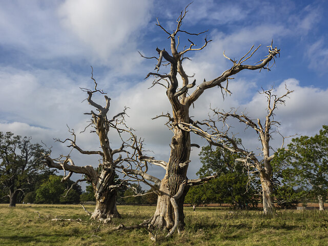
The moorland section of the open space is a unique habitat that supports a variety of plant and animal species. Visitors can explore the heathland, characterized by its heather and gorse bushes, which create a vibrant and colorful landscape. The moorland also features several ponds, attracting a diverse range of birdlife and providing a peaceful setting for birdwatching.
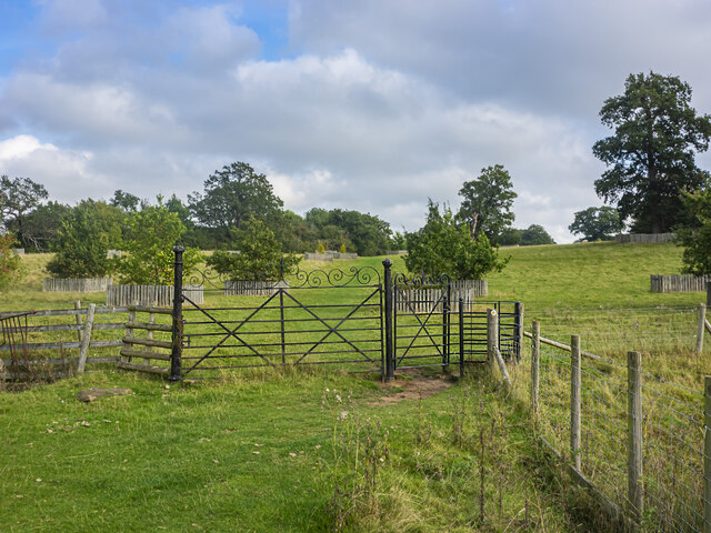
Hadzor Open Space is managed and maintained by the local council, ensuring its conservation and preservation for future generations. The reserve is accessible to the public year-round and offers well-maintained paths and trails for visitors to explore. Interpretive signs and information boards are scattered throughout the space, providing educational insights into the flora, fauna, and history of the area.
Overall, Hadzor Open Space is a hidden gem in Worcestershire, offering a serene and natural environment for visitors to enjoy and appreciate the beauty of the downs and moorland.
If you have any feedback on the listing, please let us know in the comments section below.
Hadzor Open space Images
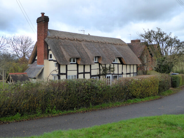
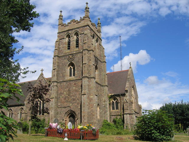
Images are sourced within 2km of 52.273914/-2.0844161 or Grid Reference SO9463. Thanks to Geograph Open Source API. All images are credited.

Hadzor Open space is located at Grid Ref: SO9463 (Lat: 52.273914, Lng: -2.0844161)
Administrative County: Worcestershire
District: Wychavon
Police Authority: West Mercia
What 3 Words
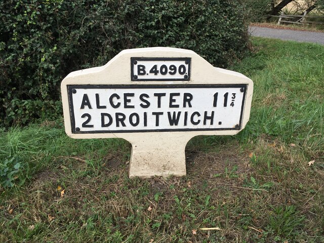
///score.fluffed.timeless. Near Stoke Prior, Worcestershire
Nearby Locations
Related Wikis

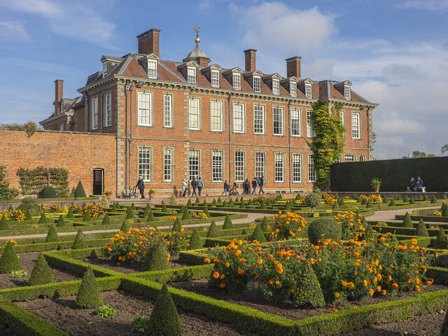
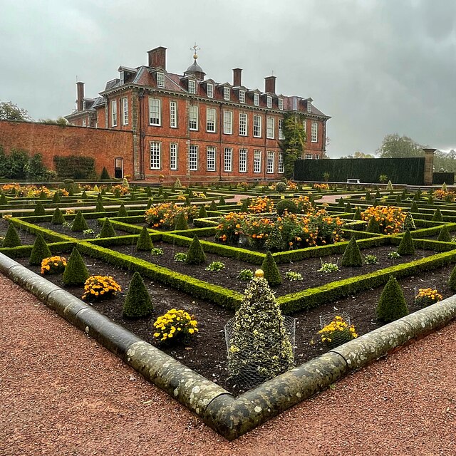
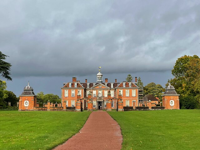
Hanbury Hall
Hanbury Hall is a large 18th-century stately home standing in parkland at Hanbury, Worcestershire. The main range has two storeys and is built of red brick...

St Mary the Virgin, Hanbury
The church of St Mary the Virgin is an Anglican parish church in the village of Hanbury, Worcestershire. Its earliest parts date from about 1210 and it...

Droitwich Road railway station
Droitwich Road railway station served the town of Droitwich Spa, Worcestershire, England, from 1840 to 1855 on the Birmingham and Gloucester Railway....
Mere Green, Worcestershire
Mere Green is a hamlet in the English county of Worcestershire. It is located south of the village of Hanbury roughly midway between Worcester and Redditch...

Hanbury, Worcestershire
Hanbury is a rural village in Worcestershire, England near Droitwich Spa and the M5 motorway. The population of Hanbury has remained around 1,000 since...
Stoke Works railway station
Stoke Works railway station was a station in the hamlet of Stoke Prior in the English county of Worcestershire, near Bromsgrove. It was located on the...

Droitwich Transmitting Station
The Droitwich transmitting station is a large broadcasting facility for long-wave and medium-wave transmissions, established in 1934 in the civil parish...
Wychbold
Wychbold is a village in the Wychavon district of Worcestershire. The village is situated on the A38 between Droitwich Spa and Bromsgrove, and by Junction...
Nearby Amenities
Located within 500m of 52.273914,-2.0844161Have you been to Hadzor Open space?
Leave your review of Hadzor Open space below (or comments, questions and feedback).