Huntingdrop Common
Downs, Moorland in Worcestershire Wychavon
England
Huntingdrop Common
Huntingdrop Common is a picturesque expanse of land located in Worcestershire, England. This stunning area spans across vast downs and moorland, offering visitors a diverse and captivating natural landscape. With an approximate area of several square kilometers, Huntingdrop Common is a haven for wildlife and a popular destination for outdoor enthusiasts.
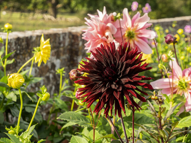
The common is characterized by rolling hills and open grasslands, providing breathtaking views of the surrounding countryside. Its diverse terrain includes heathland, bogs, and rocky outcrops, creating a rich and varied habitat for a wide range of flora and fauna. Visitors can expect to encounter an array of plant species, including heather, gorse, and various wildflowers, adding vibrant colors to the landscape.
Wildlife thrives in Huntingdrop Common, with numerous species calling this area home. Birdwatchers will be delighted by the presence of rare and protected birds such as curlews, lapwings, and red grouse. The common also provides a habitat for mammals like hares, rabbits, and foxes, as well as reptiles and amphibians such as adders and frogs.
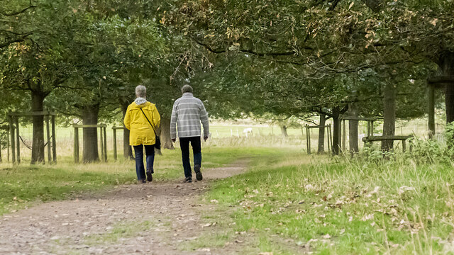
Huntingdrop Common offers an extensive network of walking trails, allowing visitors to explore its natural wonders at their own pace. These paths lead adventurers through heathlands, across open pastures, and along the edges of tranquil ponds. The common is also a popular spot for picnics and nature photography, providing ample opportunities to enjoy the peaceful surroundings and capture stunning images of the landscape and its inhabitants.
Overall, Huntingdrop Common is a captivating blend of downs and moorland, offering visitors a chance to immerse themselves in the beauty of Worcestershire's natural heritage.
If you have any feedback on the listing, please let us know in the comments section below.
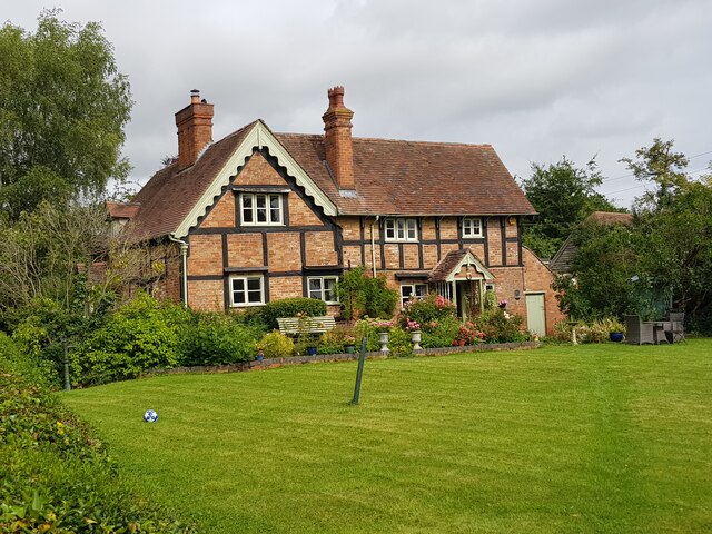
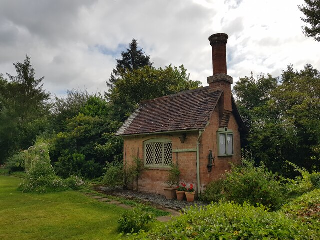
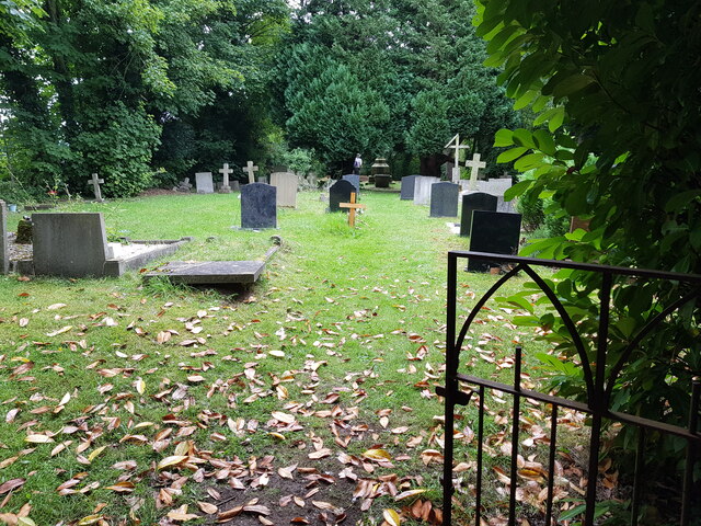
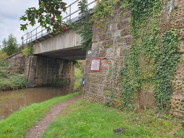
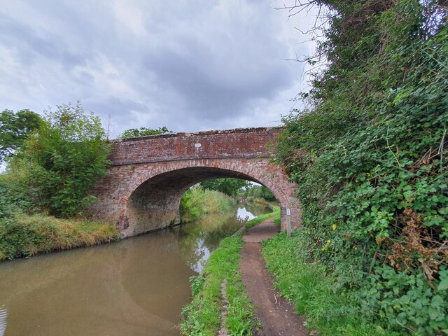
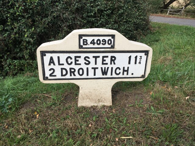
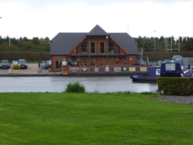
Huntingdrop Common Images
Images are sourced within 2km of 52.257906/-2.1028305 or Grid Reference SO9362. Thanks to Geograph Open Source API. All images are credited.


Huntingdrop Common is located at Grid Ref: SO9362 (Lat: 52.257906, Lng: -2.1028305)
Administrative County: Worcestershire
District: Wychavon
Police Authority: West Mercia
What 3 Words
///outgrown.patting.investors. Near Droitwich, Worcestershire
Nearby Locations
Related Wikis

Droitwich Road railway station
Droitwich Road railway station served the town of Droitwich Spa, Worcestershire, England, from 1840 to 1855 on the Birmingham and Gloucester Railway....

Hadzor
Hadzor is a small village near Droitwich, Worcestershire, England. There are around fourteen houses and a Roman Catholic church in the village, although...
Mere Green, Worcestershire
Mere Green is a hamlet in the English county of Worcestershire. It is located south of the village of Hanbury roughly midway between Worcester and Redditch...

Hanbury Hall
Hanbury Hall is a large 18th-century stately home standing in parkland at Hanbury, Worcestershire. The main range has two storeys and is built of red brick...
Dunhampstead
Dunhampstead is a small village in the English county of Worcestershire. It is located about 6 miles to the north-east of Worcester and around half a...

Chateau Impney
Chateau Impney Hotel & Exhibition Centre is a Grade II* listed 19th-century house built in the style of an elaborate French château near Droitwich Spa...
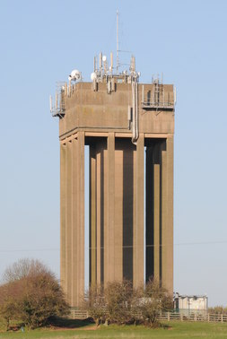
Droitwich Water Tower
The Droitwich Water Tower, also known as Yew Tree Hill Water Tower, is a structure on Yew Tree Hill in Droitwich, England, owned and operated by Severn...

Droitwich Spa Lido
The Droitwich Spa Lido is a lido in Droitwich Spa, Worcestershire, England. It is one of the few remaining inland, open-air salt-water swimming pools...
Nearby Amenities
Located within 500m of 52.257906,-2.1028305Have you been to Huntingdrop Common?
Leave your review of Huntingdrop Common below (or comments, questions and feedback).