Hangingwells Common
Downs, Moorland in Durham
England
Hangingwells Common
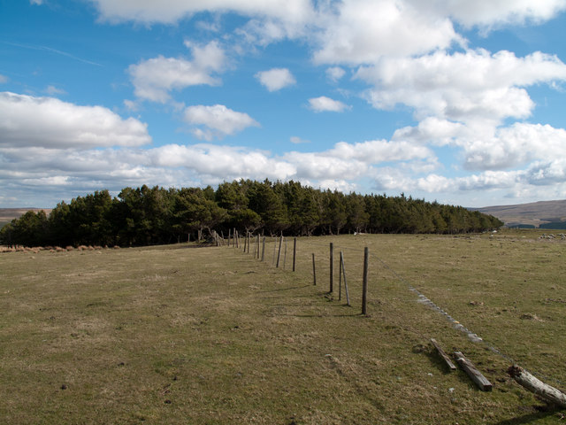
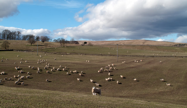
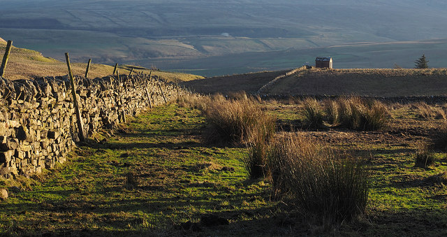
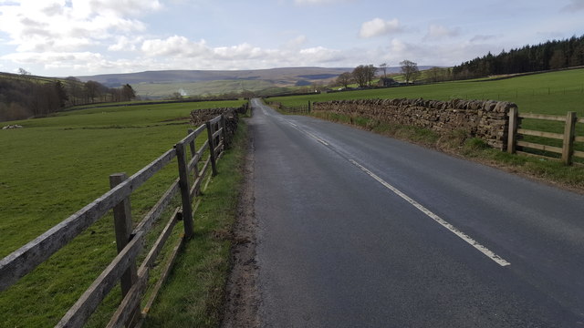
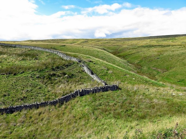
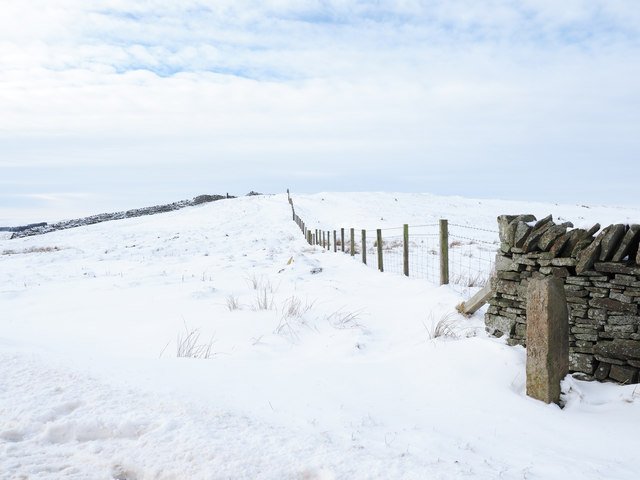
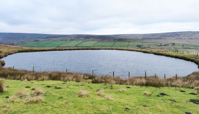
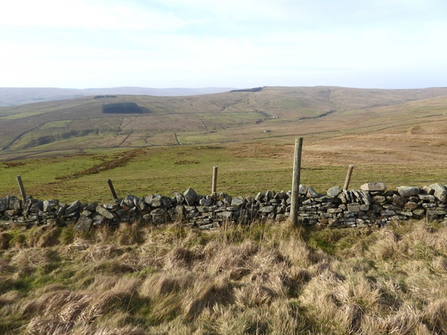
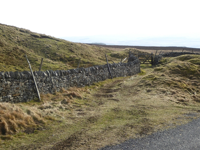
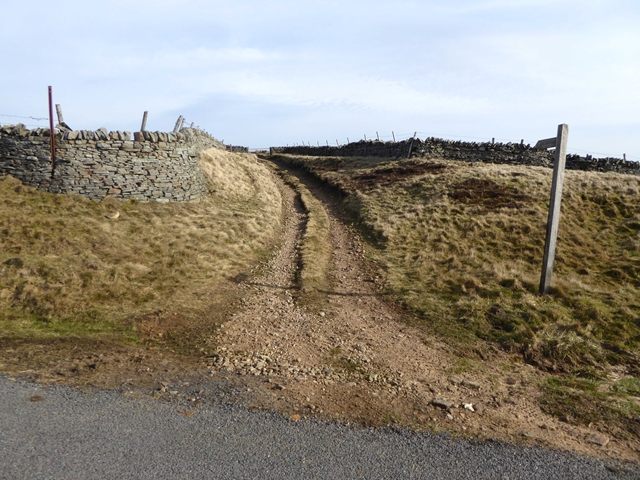
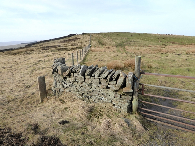
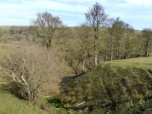
Hangingwells Common, located in Durham, England, is a picturesque and expansive area of downs and moorland. Spanning approximately 100 acres, it offers a varied landscape of rolling hills, open grasslands, and heather-covered moors.
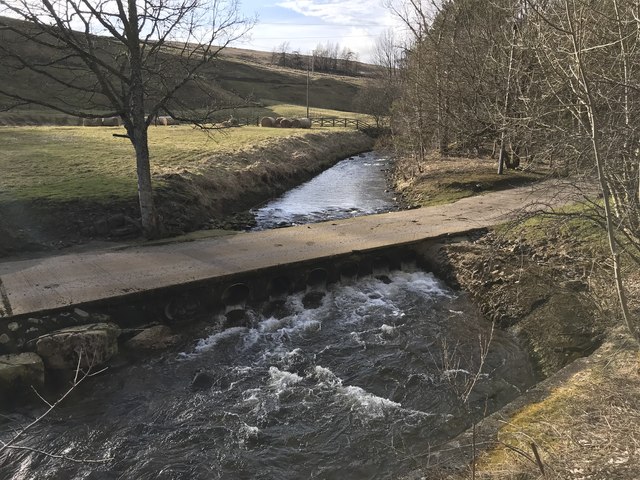
The common is a popular destination for both locals and visitors, attracting nature enthusiasts, hikers, and photographers. Its diverse flora and fauna make it a haven for wildlife, with an array of bird species, butterflies, and small mammals calling it home.
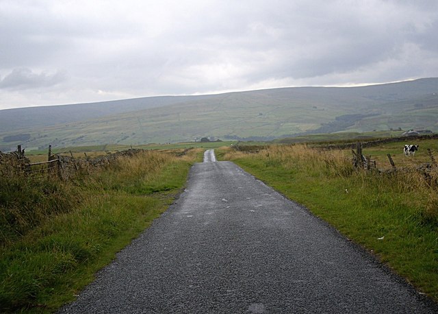
The grassy downs provide ample space for leisure activities such as picnicking, kite flying, and playing sports. The area's undulating terrain also offers opportunities for walking and hiking, with several well-marked trails that showcase the stunning views of the surrounding countryside.
Hangingwells Common is particularly renowned for its vibrant display of heather, which blooms in late summer, covering the moorlands with a stunning purple hue. This spectacle attracts photographers and nature lovers who come to capture its beauty and immerse themselves in the peaceful ambiance.
The common is well-maintained, with designated areas for parking, picnic spots, and public facilities. The local authorities also ensure the preservation of the site's natural beauty and wildlife habitats, promoting responsible use and conservation.
Overall, Hangingwells Common in Durham offers a tranquil escape from the hustle and bustle of everyday life, providing a place of natural beauty and recreational opportunities for all to enjoy.
If you have any feedback on the listing, please let us know in the comments section below.
Hangingwells Common Images
Images are sourced within 2km of 54.760007/-2.1127393 or Grid Reference NY9240. Thanks to Geograph Open Source API. All images are credited.


Hangingwells Common is located at Grid Ref: NY9240 (Lat: 54.760007, Lng: -2.1127393)
Unitary Authority: County Durham
Police Authority: Durham
What 3 Words
///trams.picturing.fragment. Near Stanhope, Co. Durham
Nearby Locations
Related Wikis

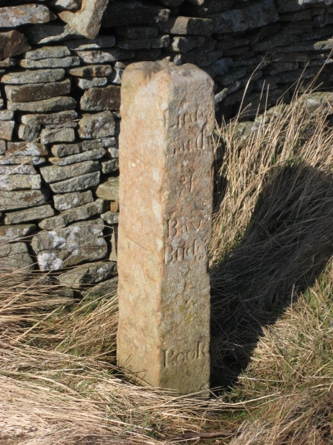
Rookhope
Rookhope is a village in the civil parish of Stanhope, in County Durham, England. A former lead and fluorspar mining community, it first existed as a group...

Weardale campaign
The Weardale campaign, part of the First War of Scottish Independence, occurred during July and August 1327 in Weardale, England. A Scottish force under...

West Rigg Open Cutting
West Rigg Open Cutting is a Site of Special Scientific Interest in the Wear Valley district of west County Durham, England. It is a disused ironstone...

Lintzgarth
Lintzgarth is a village in the civil parish of Stanhope, in County Durham, England. It is situated to the west of Rookhope. The Lintzgarth smeltmill was...
Nearby Amenities
Located within 500m of 54.760007,-2.1127393Have you been to Hangingwells Common?
Leave your review of Hangingwells Common below (or comments, questions and feedback).