Barlaston Common

Downs, Moorland in Staffordshire Stafford

England

Barlaston Common

Sandon Road The view along the A520 road in Meir Heath, Staffordshire.
Sandon Road Credit: Gordon Griffiths

Barlaston Common is a picturesque area located in Staffordshire, England. Covering a total area of approximately 200 acres, it is known for its diverse landscapes comprising downs and moorland. The common is situated just outside the village of Barlaston and is easily accessible by both car and public transport.

The common is characterized by its rolling hills and open grasslands, offering breathtaking views of the surrounding countryside. The downs, with their gentle slopes and wide expanses, are perfect for leisurely walks and picnics. Visitors can enjoy the tranquility of the area, which is home to a variety of wildlife such as rabbits, hares, and various bird species.

In addition to the downs, Barlaston Common features extensive moorland, characterized by its heather-covered hills and rocky outcrops. This unique landscape provides a habitat for a range of plant species, including bilberry bushes and purple moor grass. The moorland is also home to a number of rare bird species, such as the red grouse and the curlew.

Barlaston Common is a popular destination for outdoor enthusiasts and nature lovers. The common is crisscrossed by a network of footpaths and bridleways, making it ideal for walkers, joggers, and horse riders. The area is also a favorite among birdwatchers and photographers, who can capture the beauty of the diverse flora and fauna.

Overall, Barlaston Common offers visitors a chance to escape the hustle and bustle of everyday life and immerse themselves in the natural beauty of Staffordshire's downs and moorland.

If you have any feedback on the listing, please let us know in the comments section below.

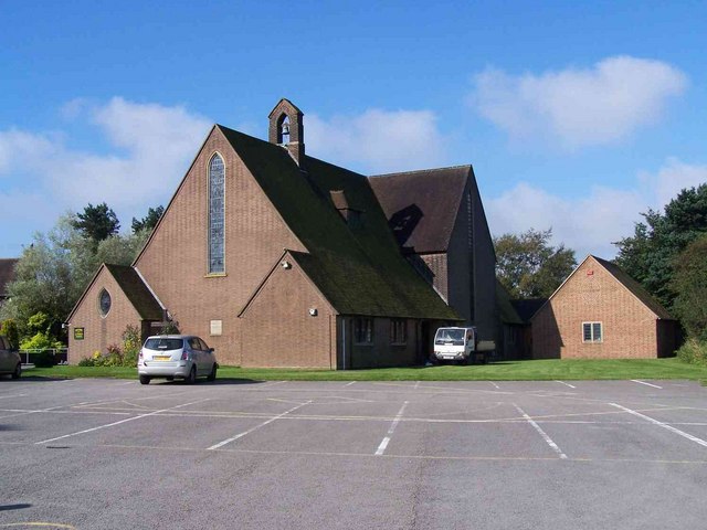
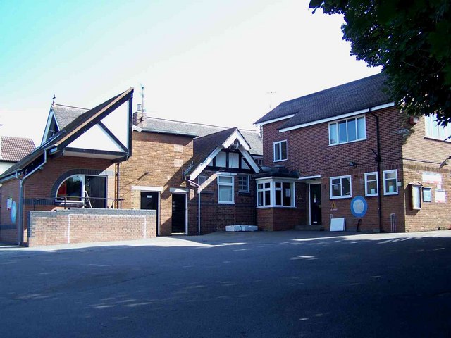
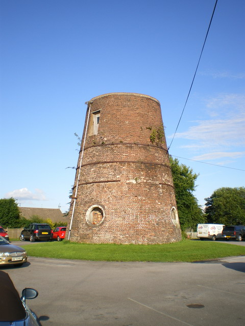
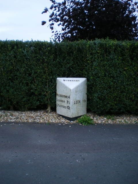
Barlaston Common Images

Images are sourced within 2km of 52.9546/-2.116953 or Grid Reference SJ9239. Thanks to Geograph Open Source API. All images are credited.
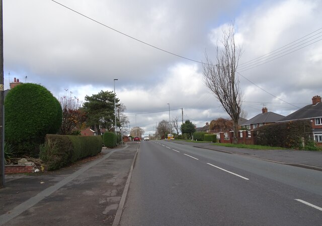
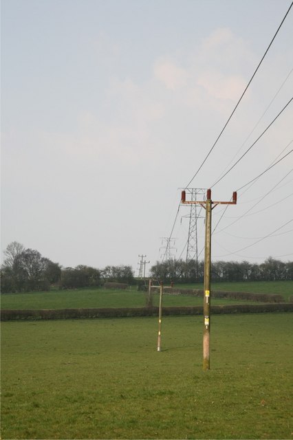
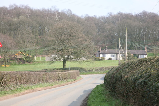
Sandon Road The view along the A520 road in Meir Heath, Staffordshire.
Sandon Road
The view along the A520 road in Meir Heath, Staffordshire.
Meir Heath Windmill Former windmill at Meir Heath built in the 18th century.  The building is Grade II listed, see: <span class="nowrap"><a title="https://historicengland.org.uk/listing/the-list/list-entry/1374182?section=official-list-entry" rel="nofollow ugc noopener" href="https://historicengland.org.uk/listing/the-list/list-entry/1374182?section=official-list-entry">Link</a><img style="margin-left:2px;" alt="External link" title="External link - shift click to open in new window" src="https://s1.geograph.org.uk/img/external.png" width="10" height="10"/></span>
Meir Heath Windmill
Former windmill at Meir Heath built in the 18th century. The building is Grade II listed, see: LinkExternal link
The Windmill The Windmill pub in Meir Heath, the pub is named after the former windmill which stand nearby <a href="https://www.geograph.org.uk/photo/7509105">SJ9240 : Meir Heath Windmill</a>.
The Windmill
The Windmill pub in Meir Heath, the pub is named after the former windmill which stand nearby SJ9240 : Meir Heath Windmill.
Water Tower at Meir Heath
Grindley Park Houses in the distance are Sandon Road.[Looking NNW]
Grindley Park
Houses in the distance are Sandon Road.[Looking NNW]
The Potters Bar On the Meir Park estate
The Potters Bar
On the Meir Park estate
Lightwood Road Methodist chapel and rooms Lightwood, Stoke on Trent
Lightwood Road
Methodist chapel and rooms Lightwood, Stoke on Trent
Old Corn Windmill Tower This Wind Cornmill Tower stands in the carpark of the windmill inn at Meir Heath
Old Corn Windmill Tower
This Wind Cornmill Tower stands in the carpark of the windmill inn at Meir Heath
Electricity Pylons These pylons head towards Cocknage Farm.
Electricity Pylons
These pylons head towards Cocknage Farm.
Pylon Pylon in fields adjacent to South Cocknage Farm.
Pylon
Pylon in fields adjacent to South Cocknage Farm.
Barlaston Road
Barlaston Road
Barlaston Road
Barlaston Road
Woodland This woodland runs parallel with the Cocknage Road.
Woodland
This woodland runs parallel with the Cocknage Road.
Cocknage Road A view down the Cocknage Road with woodland to the west.
Cocknage Road
A view down the Cocknage Road with woodland to the west.
St. Francis, Meir Heath
St. Matthew's School, Rough Close, Meir Heath The school has a small church attached
St. Matthew's School, Rough Close, Meir Heath
The school has a small church attached
Meir Heath windmill The shell of this windmill was rescued and stabilised from a dilapidated state in 2002, when the concrete cap was repaired and the iron bands around the brickwork were restored. A local group was formed at that time to try and look after it. The mill stands in the carpark of a pub called, with great imagination, The Windmill.
Meir Heath windmill
The shell of this windmill was rescued and stabilised from a dilapidated state in 2002, when the concrete cap was repaired and the iron bands around the brickwork were restored. A local group was formed at that time to try and look after it. The mill stands in the carpark of a pub called, with great imagination, The Windmill.
Meir Heath milepost - detail Clearly (and I reckon incorrectly) telling us that it's in Normacot.
Meir Heath milepost - detail
Clearly (and I reckon incorrectly) telling us that it's in Normacot.
Show me another place!

Barlaston Common is located at Grid Ref: SJ9239 (Lat: 52.9546, Lng: -2.116953)

Administrative County: Staffordshire

District: Stafford

Police Authority: Staffordshire

What 3 Words

///rent.prawn.bulldozer. Near Longton, Staffordshire

Related Wikis

Barlaston and Rough Close Common

Barlaston and Rough Close Common is a local nature reserve, an area of heathland in Staffordshire, England, near Barlaston and about 3 miles (4.8 km) north...

Meir Heath

Meir Heath is a village just to the south of Stoke-on-Trent, Staffordshire situated on a hilltop between Meir and Rough Close, 2+1⁄2 miles from Barlaston...

Meir Heath Cricket Club

Meir Heath Cricket Club is a cricket club and ground in Meir Heath, Staffordshire. The first recorded match on the ground was in 1991, when Staffordshire...

Meir K.A. F.C.

Meir King's Arms Football Club was an association football club based in Stoke-on-Trent, England, established in 1972. Originally formed as the Sunday...

Lightwood, Stoke-on-Trent

Lightwood is a suburb of Stoke-on-Trent, Staffordshire, England. It is located to the south of Longton, and Lightwood Road runs from here to Rough Close...

Normacot

Normacot is an area of Stoke-on-Trent, in the county of Staffordshire, England. Notable buildings include the church of the Holy Evangelists by Scott...

Ormiston Meridian Academy

Ormiston Meridian Academy is a co-educational secondary school located in the Meir area of the City of Stoke-on-Trent, Staffordshire, England. The school...

Florence, Staffordshire

Florence is a suburb of Stoke-on-Trent, in the Stoke-on-Trent district, in the ceremonial county of Staffordshire, England. It is near Meir. Florence Colliery...

Nearby Amenities

Located within 500m of 52.9546,-2.116953
Mini Roundabout
Direction: clockwise
Lat/Long: 52.9532392/-2.1137797
Bus Stop
Swynnerton Arms PH
Naptan AtcoCode: 3800C717300
Naptan Bearing: NE
Naptan CommonName: Swynnerton Arms PH
Naptan Indicator: Adj
Naptan Landmark: Swynnerton Arms PH
Naptan PlusbusZoneRef: STOKEOT
Naptan Street: Windmill Hill
Naptan Verified: no
Source: naptan_import
Lat/Long: 52.9535402/-2.1134671
Bus Stop
Swynnerton Arms PH
Naptan AtcoCode: 3800C717301
Naptan Bearing: SW
Naptan CommonName: Swynnerton Arms PH
Naptan Indicator: Opp
Naptan Landmark: Swynnerton Arms PH
Naptan PlusbusZoneRef: STOKEOT
Naptan Street: Windmill Hill
Naptan Verified: no
Source: naptan_import
Lat/Long: 52.9535764/-2.1131695
Bus Stop
George & Dragon PH
Naptan AtcoCode: 3800C742101
Naptan Bearing: N
Naptan CommonName: George & Dragon PH
Naptan Indicator: Opp
Naptan Landmark: George & Dragon PH
Naptan Street: Longton Rd
Naptan Verified: no
Source: naptan_import
Lat/Long: 52.9519034/-2.1141773
Bus Stop
George & Dragon PH
Naptan AtcoCode: 3800C742102
Naptan Bearing: S
Naptan CommonName: George & Dragon PH
Naptan Indicator: Adj
Naptan Landmark: George & Dragon PH
Naptan Street: Longton Rd
Naptan Verified: no
Source: naptan_import
Lat/Long: 52.9517057/-2.1141172
Bus Stop
Lightwood Road
Bus: yes
Naptan AtcoCode: 3800C794701
Naptan Bearing: NE
Naptan CommonName: Lightwood Road
Naptan Indicator: Adj
Naptan Landmark: Lightwood Rd
Naptan PlusbusZoneRef: STOKEOT
Naptan Street: Hartwood Ln
Naptan Verified: no
Public Transport: platform
Source: naptan_import
Lat/Long: 52.9526664/-2.1158094
Rough Close
Place: hamlet
Lat/Long: 52.9520234/-2.1156777
Barrier: yes
Lat/Long: 52.9539577/-2.1120798
Barrier: yes
Lat/Long: 52.9535264/-2.1119694
Power: pole
Lat/Long: 52.9532598/-2.1099809
Addr Housename: Windmill Hill House
Addr Postcode: ST3 7PR
Addr Street: Windmill Hill
Lat/Long: 52.9530871/-2.1121899
Power: pole
Source: Bing
Lat/Long: 52.9522902/-2.1108205
Power: pole
Source: Bing
Lat/Long: 52.9531342/-2.1224003
Power: pole
Source: Bing
Lat/Long: 52.9538334/-2.123733
Line Management: termination
Power: pole
Source: Bing
Lat/Long: 52.9518279/-2.1204445
Power: pole
Source: Bing
Lat/Long: 52.9524453/-2.1213379
Telephone
Defibrillator
Booth: K6
Covered: booth
Defibrillator Location: inside red phone box, beside Swynnerton Arms, Windmill Hill, Rough Close
Emergency: defibrillator
Man Made: telephone_box
Lat/Long: 52.9534514/-2.1135667
Addr Housename: Heather Lodge
Lat/Long: 52.9556727/-2.1209227
Power: pole
Lat/Long: 52.9534129/-2.1220257
Power: pole
Lat/Long: 52.9540174/-2.1211861
Man Made: utility_pole
Lat/Long: 52.952813/-2.1204743
Man Made: utility_pole
Lat/Long: 52.9533163/-2.1205911
Man Made: utility_pole
Lat/Long: 52.9522928/-2.1203186
Man Made: utility_pole
Lat/Long: 52.9518063/-2.1202163
Man Made: utility_pole
Lat/Long: 52.9514476/-2.1193967
Man Made: utility_pole
Lat/Long: 52.9580736/-2.1123986
Addr Housename: Rough Close House
Lat/Long: 52.9538636/-2.1143719
Childcare
Windmill Hill Day Nursery
Lat/Long: 52.9531743/-2.1121126
The data included in this document is from www.openstreetmap.org. The data is made available under ODbL.

Have you been to Barlaston Common?

Leave your review of Barlaston Common below (or comments, questions and feedback).