Keynston Down

Downs, Moorland in Dorset

England

Keynston Down

Direction Sign – Signpost at Ham Corner, Tarrant Rawston Located at Ham Corner, on the northeast side of the junction on the minor road to Tarrant Rushton in Tarrant Rawston parish. 3 arms and annulus finial. See also <a title="https://www.geograph.org.uk/photo/6043151" href="https://www.geograph.org.uk/photo/6043151">Link</a> before the arms were replaced.

Milestone Society National ID: DO_ST9305
Direction Sign – Signpost at Ham Corner, Tarrant Rawston Credit: C Payne

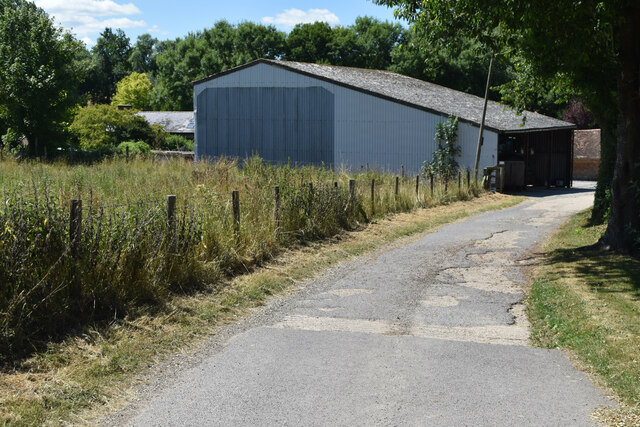
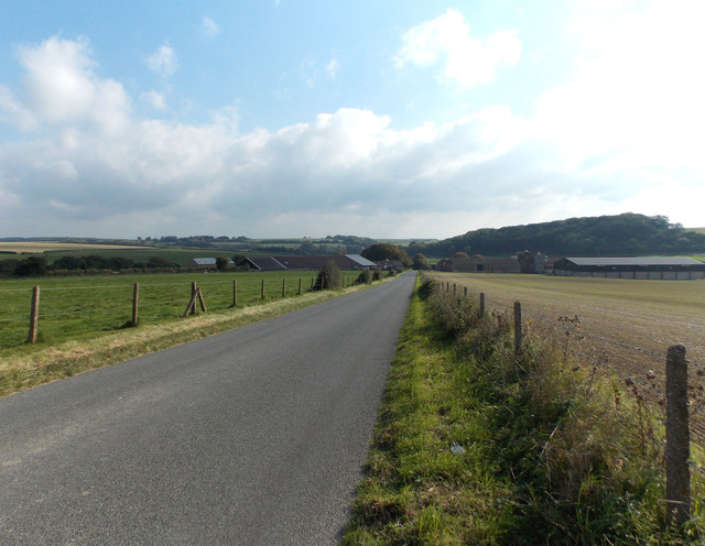
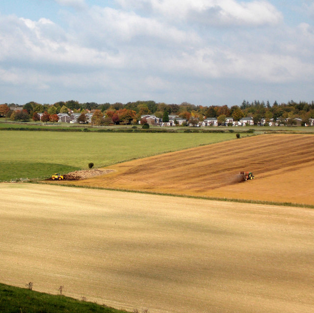
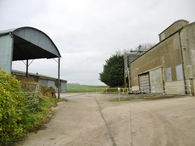
Keynston Down is a vast expanse of moorland located in the county of Dorset, England. Situated near the village of Keynston, it is a popular destination for nature enthusiasts and hikers seeking to explore the stunning natural beauty of the region.

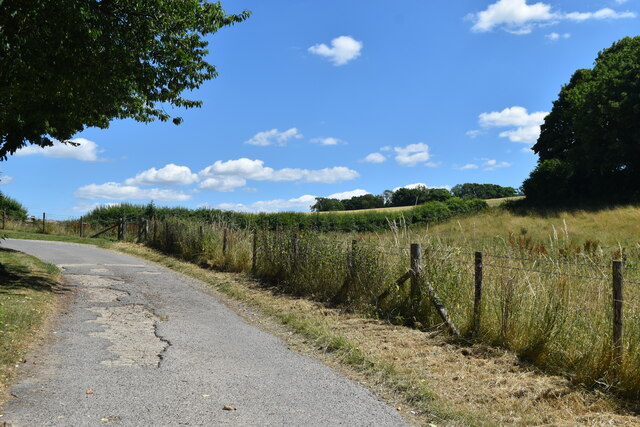
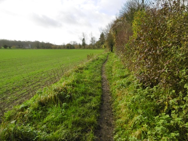
Covering an area of approximately 200 hectares, Keynston Down is characterized by its rolling hills, open grassland, and heathland. The landscape is dotted with patches of gorse and heather, providing a vibrant display of colors throughout the year. The area is also home to several species of wildflowers, including orchids and cowslips, which add to its visual appeal.

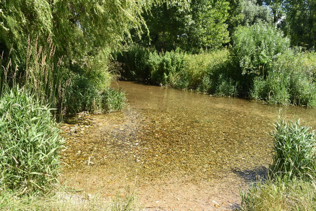
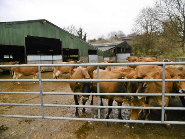
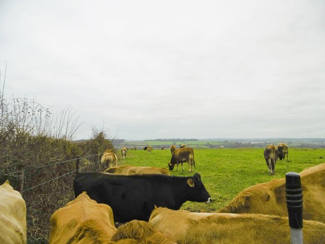
The down is renowned for its rich biodiversity and is designated as a Site of Special Scientific Interest (SSSI) to protect its unique flora and fauna. Visitors may have the opportunity to spot a variety of bird species, such as skylarks and kestrels, soaring above the moorland. The down is also home to various small mammals, including rabbits and voles, which can be spotted darting through the grass.

Keynston Down offers several walking trails and paths for visitors to explore, allowing them to immerse themselves in its natural beauty. The peaceful and tranquil ambiance, coupled with breathtaking views over the surrounding countryside, makes it an ideal destination for those seeking solitude and relaxation.

Overall, Keynston Down is a picturesque and ecologically significant moorland that offers visitors a chance to experience the untamed beauty of the Dorset countryside.

If you have any feedback on the listing, please let us know in the comments section below.

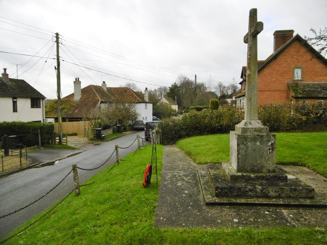
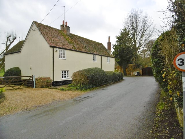
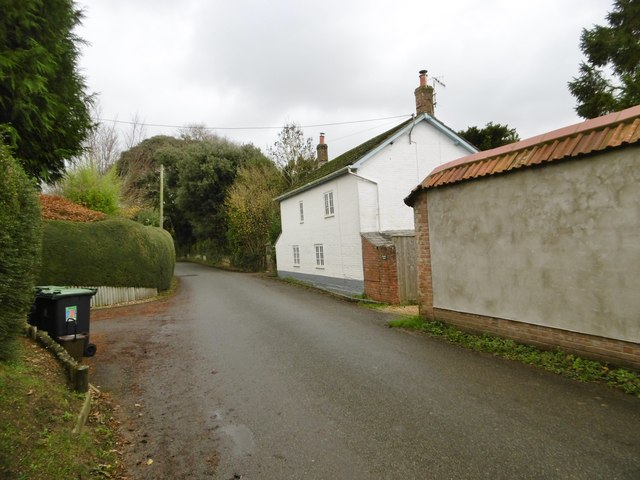
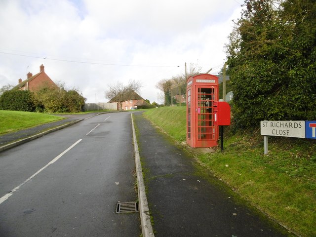
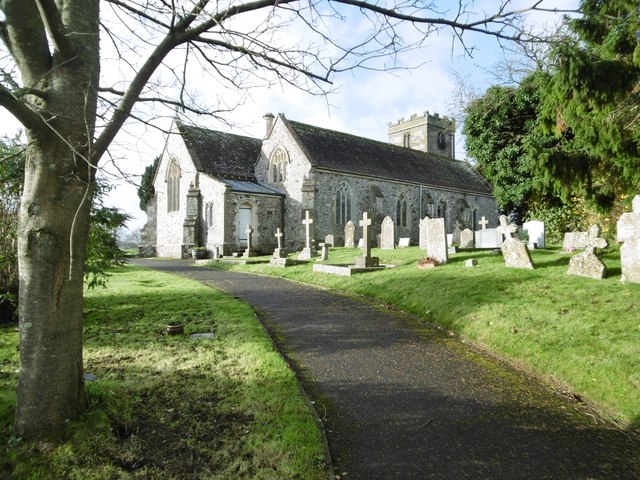
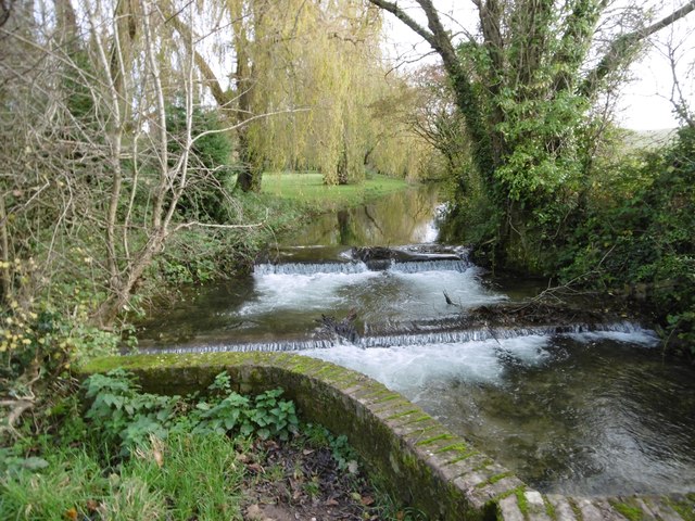
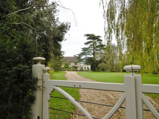
Keynston Down Images

Images are sourced within 2km of 50.851834/-2.1117889 or Grid Reference ST9205. Thanks to Geograph Open Source API. All images are credited.

Direction Sign – Signpost at Ham Corner, Tarrant Rawston Located at Ham Corner, on the northeast side of the junction on the minor road to Tarrant Rushton in Tarrant Rawston parish. 3 arms and annulus finial. See also <a title="https://www.geograph.org.uk/photo/6043151" href="https://www.geograph.org.uk/photo/6043151">Link</a> before the arms were replaced.

Milestone Society National ID: DO_ST9305
Direction Sign – Signpost at Ham Corner, Tarrant Rawston
Located at Ham Corner, on the northeast side of the junction on the minor road to Tarrant Rushton in Tarrant Rawston parish. 3 arms and annulus finial. See also Link before the arms were replaced. Milestone Society National ID: DO_ST9305
Shed at Preston Farm
Lane climbing through Preston Farm
Ford on The Tarrant A very clear shallow stream with a gravel bottom. The lane is not surfaced to either side of the stream and appears disused.
Ford on The Tarrant
A very clear shallow stream with a gravel bottom. The lane is not surfaced to either side of the stream and appears disused.
Looking towards Down Barn Agricultural land around Down Barn, near Tarrant Rawston.
Looking towards Down Barn
Agricultural land around Down Barn, near Tarrant Rawston.
Muck spreading Muck spreading on Luton Down, south of Blandford Camp.
Muck spreading
Muck spreading on Luton Down, south of Blandford Camp.
Tarrant Keyneston, war memorial On the village street; commemorating eight men fallen in WWI.
Tarrant Keyneston, war memorial
On the village street; commemorating eight men fallen in WWI.
Tarrant Keyneston, Corner Cottage On a bend in the village street; with C17 roots, and listed by English Heritage: <span class="nowrap"><a title="http://www.imagesofengland.org.uk/Details/Default.aspx?id=103768&mode=adv" rel="nofollow ugc noopener" href="http://www.imagesofengland.org.uk/Details/Default.aspx?id=103768&mode=adv">Link</a><img style="margin-left:2px;" alt="External link" title="External link - shift click to open in new window" src="https://s1.geograph.org.uk/img/external.png" width="10" height="10"/></span>
Tarrant Keyneston, Corner Cottage
On a bend in the village street; with C17 roots, and listed by English Heritage: LinkExternal link
Tarrant Keyneston, Brookfield Cottage On the village street; in the vernacular style, with flint and bands of brick, though now painted.
Tarrant Keyneston, Brookfield Cottage
On the village street; in the vernacular style, with flint and bands of brick, though now painted.
Tarrant Keyneston, boxes EIIR post box, and behind it a phone box; at the corner of St Richards Close and the village street.
Tarrant Keyneston, boxes
EIIR post box, and behind it a phone box; at the corner of St Richards Close and the village street.
Tarrant Keyneston, All Saints On the village street; parish church with C15 roots, listed by English Heritage (Grade II*): <span class="nowrap"><a title="http://www.imagesofengland.org.uk/Details/Default.aspx?id=103758&mode=adv" rel="nofollow ugc noopener" href="http://www.imagesofengland.org.uk/Details/Default.aspx?id=103758&mode=adv">Link</a><img style="margin-left:2px;" alt="External link" title="External link - shift click to open in new window" src="https://s1.geograph.org.uk/img/external.png" width="10" height="10"/></span>
Tarrant Keyneston, All Saints
On the village street; parish church with C15 roots, listed by English Heritage (Grade II*): LinkExternal link
Tarrant Keyneston, weir On the Tarrant, looking upstream; the river here forms the boundary between Tarrant Keyneston (left) and Tarrant Crawford (right). Behind is the garden of Manor Farmhouse.
Tarrant Keyneston, weir
On the Tarrant, looking upstream; the river here forms the boundary between Tarrant Keyneston (left) and Tarrant Crawford (right). Behind is the garden of Manor Farmhouse.
Tarrant Keyneston, Manor Farmhouse On the village street; C18, listed by English Heritage: <span class="nowrap"><a title="http://www.imagesofengland.org.uk/Details/Default.aspx?id=103771&mode=adv" rel="nofollow ugc noopener" href="http://www.imagesofengland.org.uk/Details/Default.aspx?id=103771&mode=adv">Link</a><img style="margin-left:2px;" alt="External link" title="External link - shift click to open in new window" src="https://s1.geograph.org.uk/img/external.png" width="10" height="10"/></span>
Tarrant Keyneston, Manor Farmhouse
On the village street; C18, listed by English Heritage: LinkExternal link
Tarrant Keyneston, farm buildings At Manor Farm.
Tarrant Keyneston, farm buildings
At Manor Farm.
Tarrant Crawford, bridleway Between farmland and the Tarrant (behind the hedge), from the village street to Abbey Farm and beyond.
Tarrant Crawford, bridleway
Between farmland and the Tarrant (behind the hedge), from the village street to Abbey Farm and beyond.
Tarrant Keyneston, farmyard A beautiful herd of Jerseys waiting to be milked at Lophill Farm.
Tarrant Keyneston, farmyard
A beautiful herd of Jerseys waiting to be milked at Lophill Farm.
Tarrant Keyneston, cattle grazing On the bridleway to Lophill Farm and Charlton Marshall; a few of a beautiful herd of Jerseys, very inquisitive with eye, nose and tongue.
Tarrant Keyneston, cattle grazing
On the bridleway to Lophill Farm and Charlton Marshall; a few of a beautiful herd of Jerseys, very inquisitive with eye, nose and tongue.
Tarrant Keyneston, power lines Striding across farmland.
Tarrant Keyneston, power lines
Striding across farmland.
Show me another place!

Keynston Down is located at Grid Ref: ST9205 (Lat: 50.851834, Lng: -2.1117889)

Unitary Authority: Dorset

Police Authority: Dorset

What 3 Words

///apart.smoking.anyone. Near Charlton Marshall, Dorset

Related Wikis

Buzbury Rings

Buzbury Rings is an Iron Age hillfort about 2 miles (3.2 km) east of Blandford Forum and 1 mile (1.6 km) northwest of the village of Tarrant Keyneston...

Tarrant Rushton

Tarrant Rushton is a village and civil parish in north Dorset, England. The village is situated in the Tarrant Valley about three miles (five kilometres...

Tarrant Keyneston

Tarrant Keyneston is a village and civil parish in Dorset, England. It is situated in the Tarrant Valley, five miles (eight kilometres) southeast of Blandford...

Blandford Camp

Blandford Camp is a military base comprising some 390 hectares of downland lying 2 miles (3 km) north-east of Blandford Forum in the county of Dorset in...

All Saints' Church, Tarrant Keyneston

All Saints' Church is a Church of England parish church in Tarrant Keyneston, Dorset, England. Most of the church dates to a rebuild of 1852–53, but the...

Tarrant Rawston

Tarrant Rawston is a hamlet and civil parish in the county of Dorset in southern England. It is named after the River Tarrant which flows through the parish...

Royal Signals Museum

The Royal Signals Museum is a military museum based at Blandford Camp in the civil parish of Tarrant Monkton, northwest of the town of Blandford Forum...

Defence School of Communications and Information Systems

The Defence School of Communications and Information Systems (DSCIS) is a Defence Training Establishment of the British Ministry of Defence. It was formed...

Nearby Amenities

Located within 500m of 50.851834,-2.1117889
Material: wood
Poles: bipole
Power: pole
Source: bing
Lat/Long: 50.8538647/-2.1079038
Material: wood
Power: pole
Source: bing
Lat/Long: 50.854515/-2.106772
Material: wood
Power: pole
Source: bing
Lat/Long: 50.8499143/-2.1175358
Material: wood
Power: pole
Source: bing
Lat/Long: 50.8501683/-2.1160633
Material: wood
Poles: bipole
Power: pole
Source: bing
Lat/Long: 50.8504341/-2.1145827
Material: wood
Power: pole
Source: bing
Lat/Long: 50.8510319/-2.1134294
Material: wood
Power: pole
Source: bing
Lat/Long: 50.8516449/-2.1121794
Material: wood
Power: pole
Source: bing
Lat/Long: 50.8522782/-2.1109993
Material: wood
Power: pole
Source: bing
Lat/Long: 50.8529522/-2.1097038
The data included in this document is from www.openstreetmap.org. The data is made available under ODbL.

Have you been to Keynston Down?

Leave your review of Keynston Down below (or comments, questions and feedback).