Bell Flats
Downs, Moorland in Yorkshire Richmondshire
England
Bell Flats
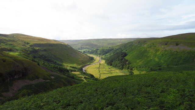
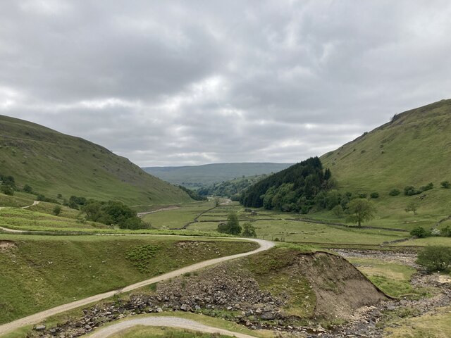
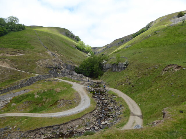
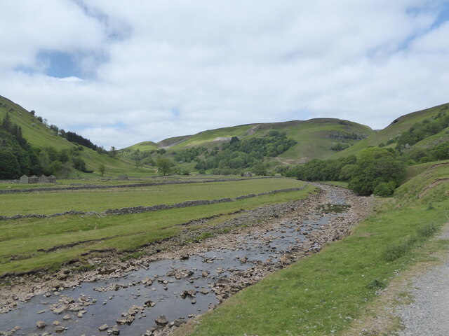
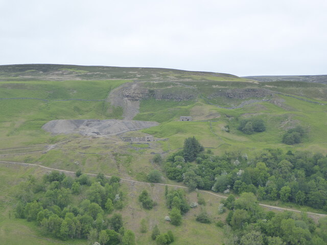
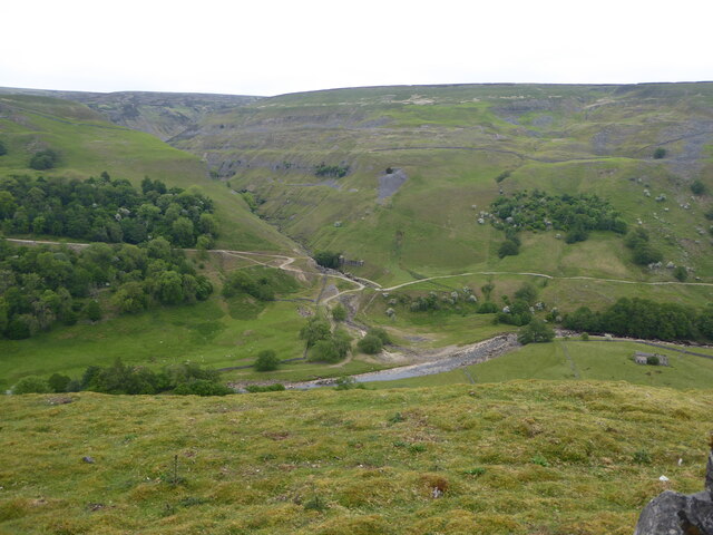
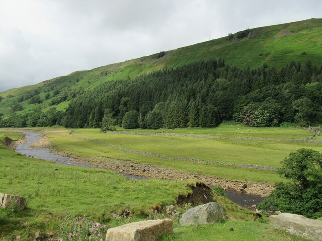
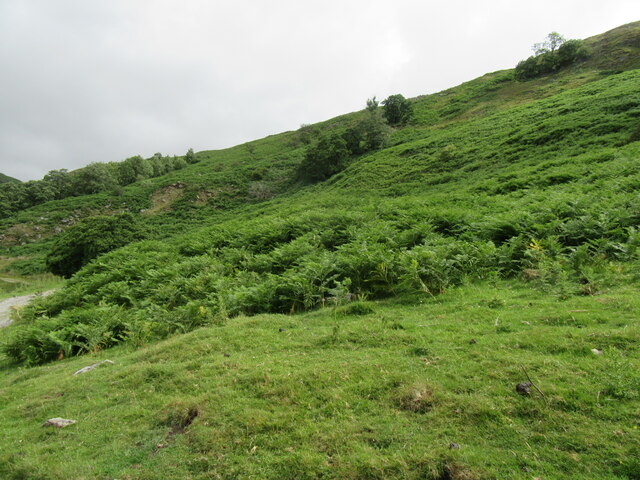
Bell Flats is a picturesque area located in the county of Yorkshire, England. Situated amidst the captivating landscape of the Yorkshire Downs and Moorland, this region offers a stunning combination of rolling hills, verdant meadows, and rugged terrain.
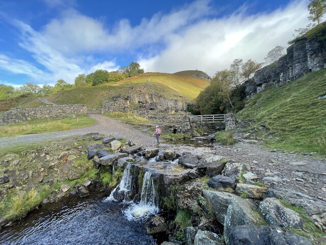
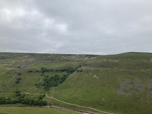
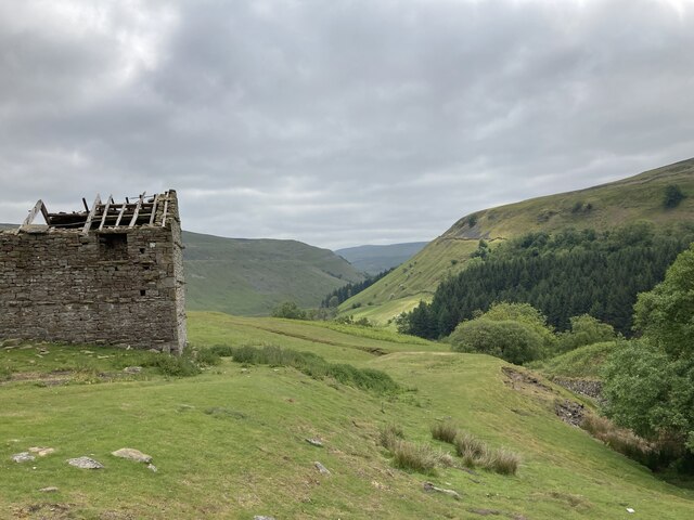
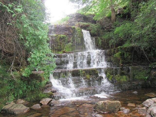
Covering a vast expanse, Bell Flats is known for its panoramic views, making it a popular destination for nature enthusiasts and hikers alike. The area is dotted with charming villages and hamlets, providing visitors with a glimpse into traditional Yorkshire life. The lush greenery of the region is complemented by the presence of numerous streams and rivers, adding to its natural beauty.
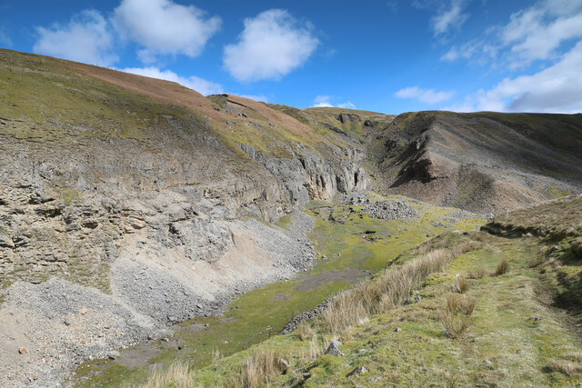
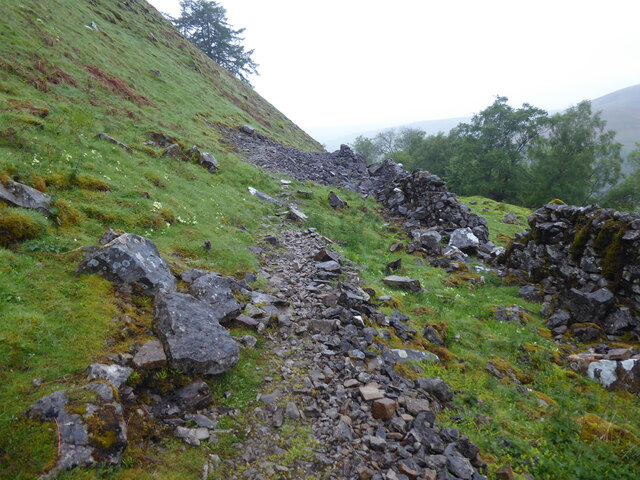
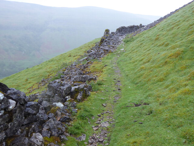
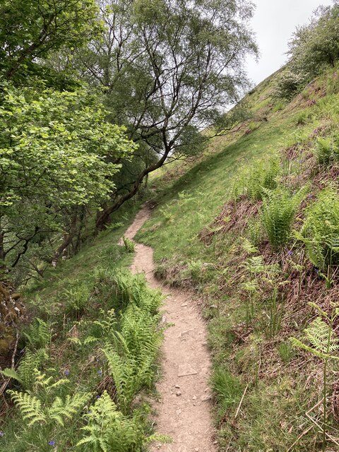
The Yorkshire Downs in Bell Flats offer a variety of outdoor activities for visitors to enjoy. From leisurely walks along the well-maintained footpaths to more challenging hikes up the steep hills, there is something for everyone. The moorland, on the other hand, provides an opportunity to explore the untamed wilderness, with its heather-clad slopes and vast open spaces.
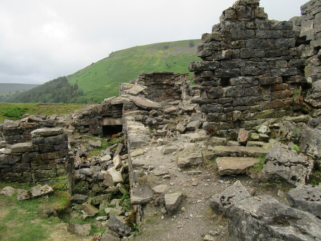
Bell Flats boasts a rich historical heritage, with evidence of ancient settlements and stone circles scattered throughout the area. Visitors can delve into the region's past by exploring the numerous archaeological sites and historic landmarks that dot the landscape.
With its idyllic scenery and tranquil ambiance, Bell Flats, Yorkshire (Downs, Moorland) offers a unique blend of natural beauty and cultural heritage, making it an ideal destination for nature lovers and history enthusiasts alike.
If you have any feedback on the listing, please let us know in the comments section below.
Bell Flats Images
Images are sourced within 2km of 54.403267/-2.1310429 or Grid Reference NY9100. Thanks to Geograph Open Source API. All images are credited.
Bell Flats is located at Grid Ref: NY9100 (Lat: 54.403267, Lng: -2.1310429)
Division: North Riding
Administrative County: North Yorkshire
District: Richmondshire
Police Authority: North Yorkshire
What 3 Words
///noun.margin.pounding. Near Bowes, Co. Durham
Nearby Locations
Related Wikis

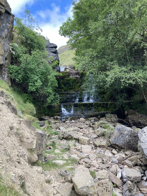
Kisdon Force
Kisdon Force is a series of waterfalls on the River Swale in Swaledale, England. The falls are situated within the Yorkshire Dales National Park in the...

Arn Gill (North Yorkshire)
Arn Gill is a ravine or gully containing a beck of the same name, near the village of Muker in Swaledale, North Yorkshire, England. The ravine and beck...

East Gill Force
East Gill Force is a waterfall in Swaledale, 330 yards (300 m) east of the hamlet of Keld, in the Yorkshire Dales National Park, North Yorkshire, England...

Kisdon
Kisdon, also called Kisdon Hill, is a fell situated in upper Swaledale in the Yorkshire Dales National Park in North Yorkshire, England. == Geography... ==
Nearby Amenities
Located within 500m of 54.403267,-2.1310429Have you been to Bell Flats?
Leave your review of Bell Flats below (or comments, questions and feedback).