White Earth
Downs, Moorland in Yorkshire
England
White Earth
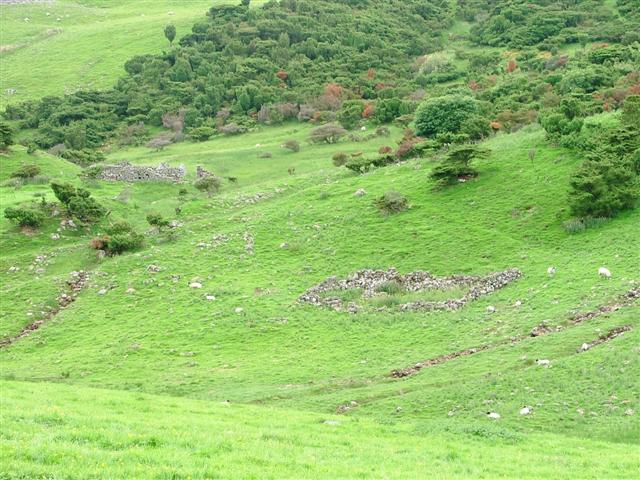
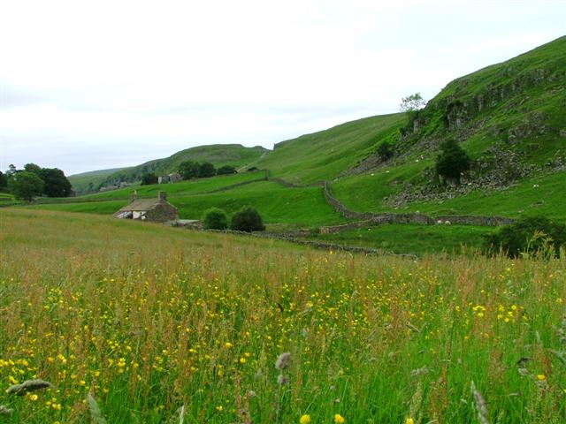
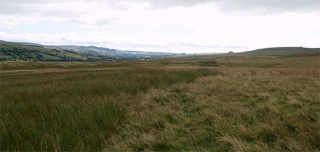
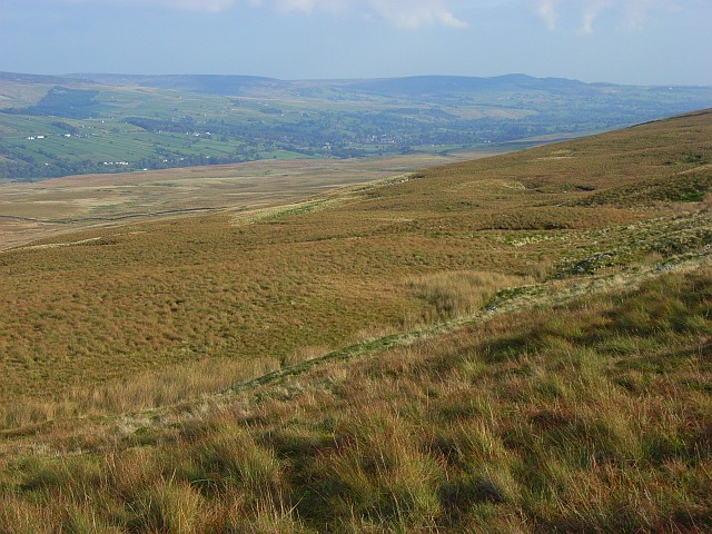
White Earth is a picturesque village located in the heart of Yorkshire, known for its stunning natural beauty and charming rural atmosphere. Situated amidst the rolling hills and vast moorlands, it offers visitors a serene escape from the hustle and bustle of city life.
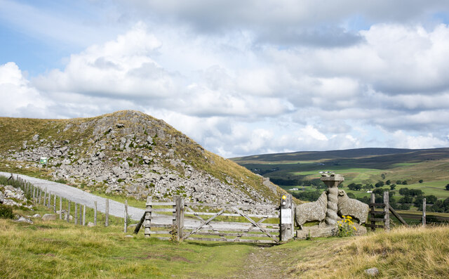
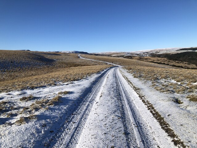
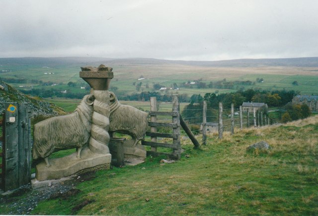
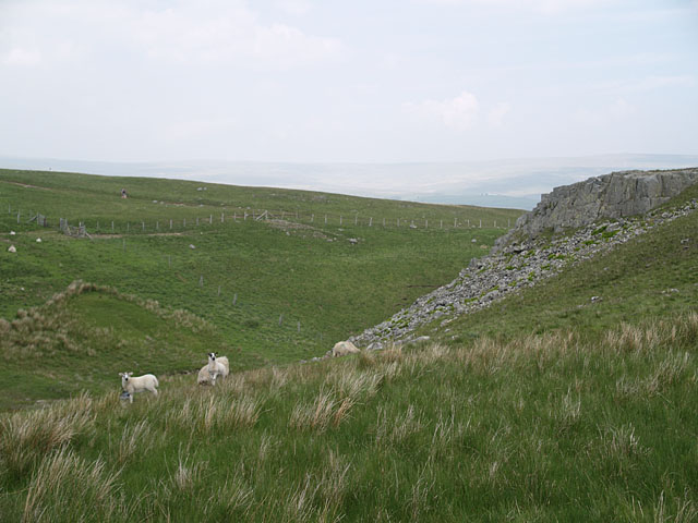
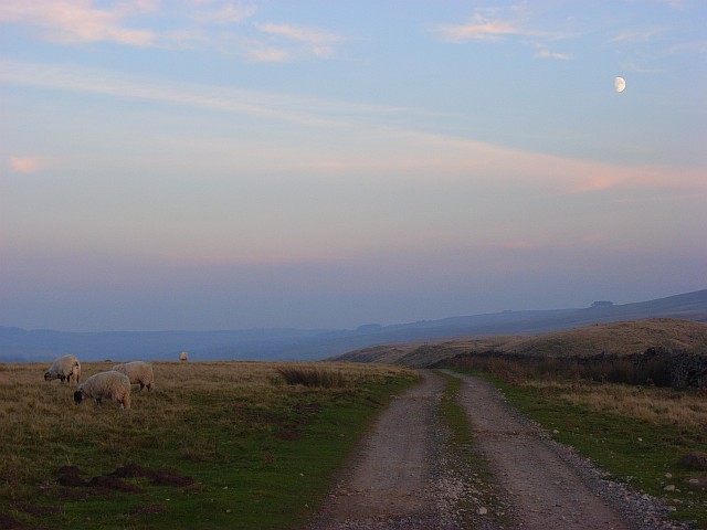
Surrounded by lush greenery and dotted with traditional stone cottages, the village exudes a timeless charm. The landscape of the area is dominated by the Yorkshire Downs, which provide breathtaking panoramic views and are a haven for hikers and nature enthusiasts. The moorland, with its sweeping expanses of heather and wildflowers, is a sight to behold, particularly during the blooming season.
The village itself is small but vibrant, with a close-knit community that prides itself on its warm hospitality. White Earth boasts a traditional village pub, where locals and visitors can enjoy a pint of locally brewed ale and indulge in hearty Yorkshire cuisine. The pub often serves as a gathering place for social events and community celebrations.
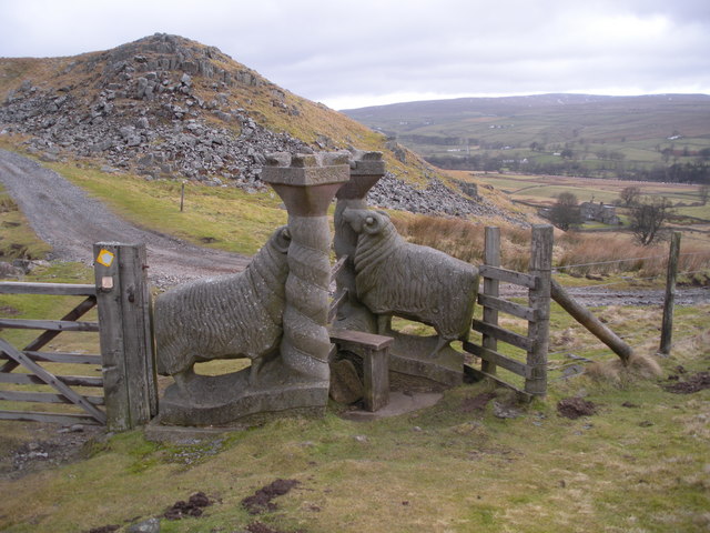
The area is rich in history, with several historic landmarks and archaeological sites scattered throughout the surrounding countryside. These include ancient burial mounds, Roman ruins, and medieval churches, offering a glimpse into the village's past.
White Earth is also a popular destination for outdoor activities such as horse riding, cycling, and birdwatching. The peaceful surroundings and abundance of wildlife make it an ideal spot for nature lovers.
Overall, White Earth, Yorkshire (Downs, Moorland) is a place of natural beauty and tranquility, where visitors can immerse themselves in the stunning landscapes and experience the warmth and charm of rural Yorkshire life.
If you have any feedback on the listing, please let us know in the comments section below.
White Earth Images
Images are sourced within 2km of 54.633416/-2.1438974 or Grid Reference NY9026. Thanks to Geograph Open Source API. All images are credited.


White Earth is located at Grid Ref: NY9026 (Lat: 54.633416, Lng: -2.1438974)
Division: North Riding
Unitary Authority: County Durham
Police Authority: Durham
What 3 Words
///remodels.tributes.bravo. Near Holwick, Co. Durham
Nearby Locations
Related Wikis

Holwick
Holwick is a small village in Teesdale, County Durham (district), England. Located in the Pennine hills, it consists of a few houses spread along a road...

Newbiggin, Teesdale
Newbiggin is a village and civil parish in County Durham, England. At the 2011 census the parish had a population of 146. It is situated on the north side...

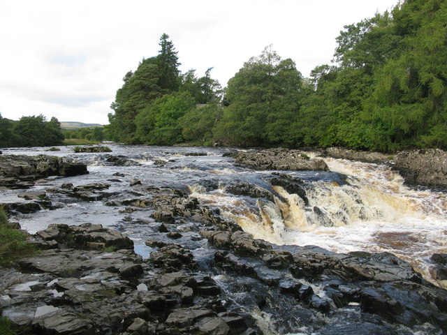
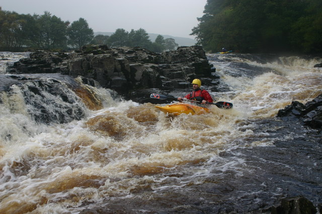
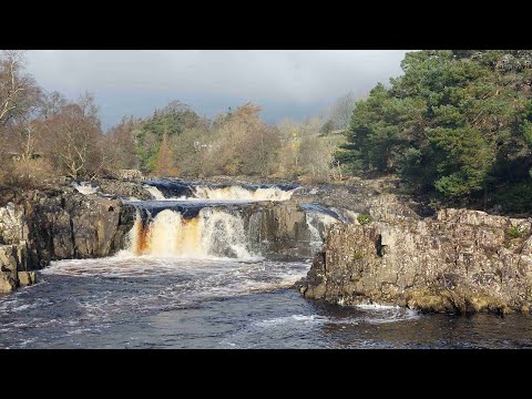
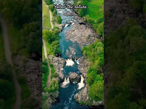
Low Force
Low Force is an 18-foot (5.5m) high set of falls on the River Tees, England, UK. Further upstream is the High Force waterfall. Low Force is also the site...

Bowlees
Bowlees is a small village in County Durham, England. It is situated near Newbiggin, on the other side of Teesdale from Holwick. The visitor centre in...
Park End Wood
Park End Wood is a Site of Special Scientific Interest in the Teesdale district of west County Durham, England. The site occupies a low hill of Whin Sill...
Bowlees and Friar House Meadows
Bowlees and Friar House Meadows is a Site of Special Scientific Interest in the Teesdale district of west County Durham, England. It consists of three...
Middle Side and Stonygill Meadows
Middle Side and Stonygill Meadows is a Site of Special Scientific Interest in the Teesdale district of County Durham, England. It consists of two separate...
Middle Crossthwaite
Middle Crossthwaite is a Site of Special Scientific Interest in the Teesdale district of County Durham, England. It is situated on the south bank of the...
Related Videos

Bowlees, Low Force, High Force & Summerhill Force - DO go chasing waterfalls!
Solo walk due to missing a memo from the group, so did the original route, shortened somewhat. Lovely walk. There's something ...

Summerhill Force & Gibson's Cave
A walk to Gibson's Cave and a dip in Summerhill Force. Starting from the Bowlees Visitor Centre car park: DL12 0XE.
Nearby Amenities
Located within 500m of 54.633416,-2.1438974Have you been to White Earth?
Leave your review of White Earth below (or comments, questions and feedback).