Carey Heath
Downs, Moorland in Dorset
England
Carey Heath
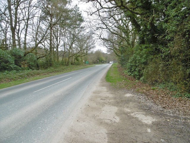
Carey Heath is a stunning heathland located in the county of Dorset, England. Situated near the village of Carey in the Cranborne Chase Area of Outstanding Natural Beauty, it is a haven for nature enthusiasts and outdoor lovers.
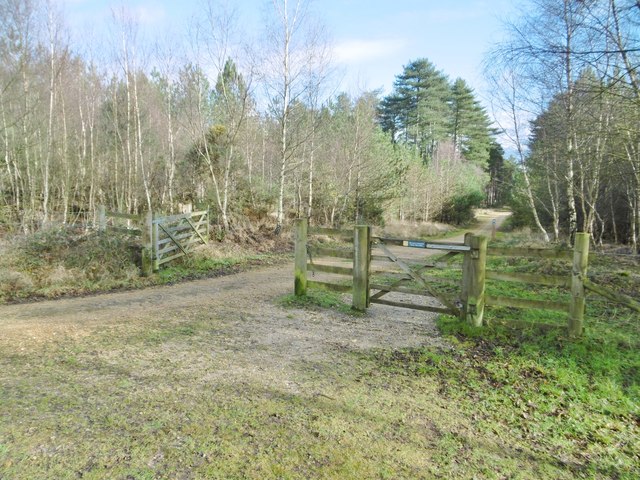
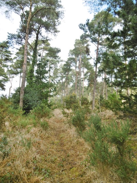
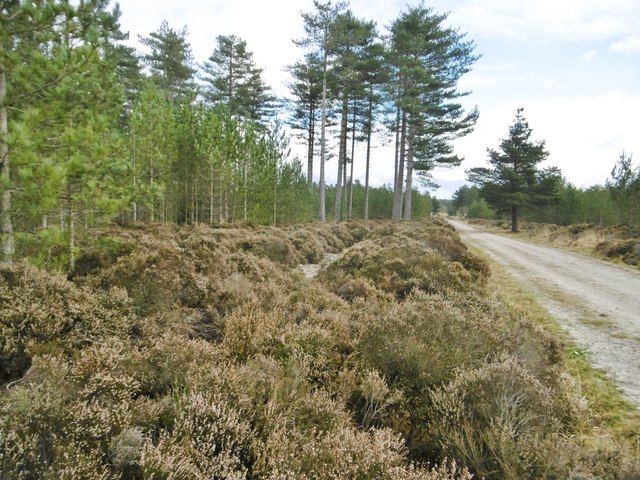
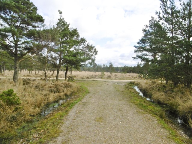
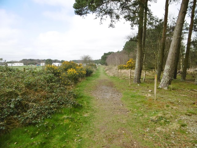
Covering an expansive area, Carey Heath boasts a diverse landscape, characterized by rolling hills, open grasslands, and scattered woodland areas. The heathland is renowned for its unique flora and fauna, including a variety of rare and protected species. Visitors can expect to encounter vibrant heather and gorse, as well as numerous wildflowers that bloom throughout the summer months.
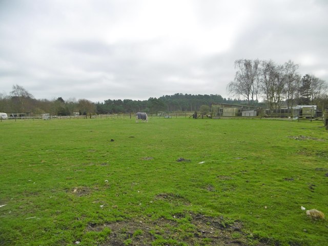
The heath is also home to a rich array of wildlife, making it a popular spot for birdwatching and nature photography. Bird species such as the Dartford warbler, stonechat, and nightjar can be spotted here, along with various butterflies and dragonflies. It is not uncommon to come across grazing cattle or ponies that help maintain the heathland ecosystem.
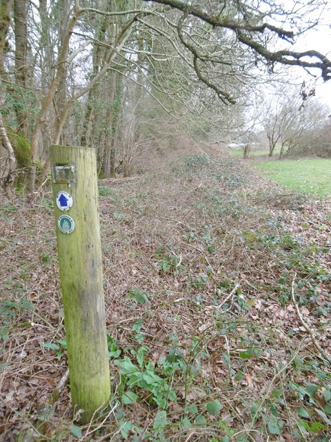
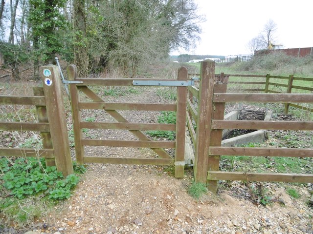
Carey Heath offers several walking trails and paths, allowing visitors to explore its beauty at their own pace. These trails provide breathtaking views of the surrounding countryside and allow hikers to immerse themselves in the peaceful atmosphere of the area.
The heathland is managed by conservation organizations and local authorities, ensuring the preservation of its unique ecosystem. Education programs and guided tours are often organized to raise awareness about the importance of heathland conservation and to promote understanding of this unique habitat.
Overall, Carey Heath in Dorset is a captivating destination, offering visitors a chance to connect with nature, enjoy breathtaking views, and appreciate the beauty of the heathland ecosystem.
If you have any feedback on the listing, please let us know in the comments section below.
Carey Heath Images
Images are sourced within 2km of 50.700655/-2.1414755 or Grid Reference SY9089. Thanks to Geograph Open Source API. All images are credited.


Carey Heath is located at Grid Ref: SY9089 (Lat: 50.700655, Lng: -2.1414755)
Unitary Authority: Dorset
Police Authority: Dorset
What 3 Words
///browsers.rifled.shapes. Near Wareham, Dorset
Nearby Locations
Related Wikis

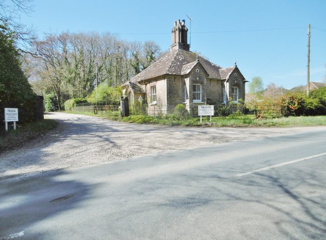
Trigon Hill
Trigon Hill is a hill on the edge of a clay pit near Cold Harbour, Dorset, on the Dorset Heaths. It rises about 3 kilometres northwest of the centre of...
Worgret Heath
Worgret Heath SSSI, Dorset (grid reference SY895871) is an 8.4 hectare biological Site of Special Scientific Interest in Dorset, notified in 1987.The site...

Wareham railway station
Wareham railway station serves the historic market town of Wareham in Dorset, England. It is situated about 0.6 miles (1 km) north of the town centre....

Worgret
Worgret is a hamlet in the English county of Dorset. It is situated immediately to the west of the town of Wareham. Worgret forms part of the civil parish...
Nearby Amenities
Located within 500m of 50.700655,-2.1414755Have you been to Carey Heath?
Leave your review of Carey Heath below (or comments, questions and feedback).