Captain Pasture
Downs, Moorland in Lancashire
England
Captain Pasture
Captain Pasture is a charming village located in the county of Lancashire, nestled amidst the picturesque landscape of the Downs and Moorland. With a population of around 1,500 residents, this small yet vibrant community offers a tranquil and idyllic setting for both locals and visitors alike.
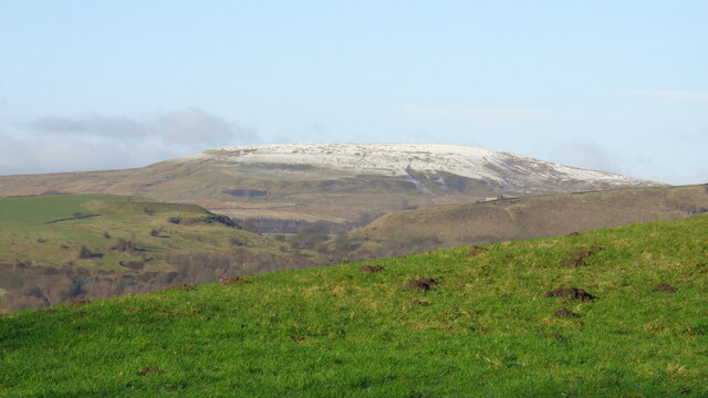
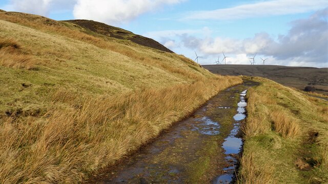
The village is renowned for its stunning natural beauty, with rolling hills, lush pastures, and expansive moorland stretching as far as the eye can see. This makes it an ideal destination for outdoor enthusiasts, offering endless opportunities for hiking, cycling, and exploring the countryside.
Captain Pasture boasts a rich history, dating back to medieval times, and is home to several historic landmarks. The village church, St. Mary's, is a notable example, with its exquisite architecture and stained glass windows. Additionally, the village inn, The Captain's Arms, is a popular gathering spot for locals and visitors, serving delicious traditional fare and locally brewed ales.
Despite its small size, Captain Pasture offers a range of amenities to cater to the needs of its residents. These include a local primary school, a post office, a grocery store, and a community center that hosts various events and activities throughout the year.
With its peaceful ambiance, breathtaking scenery, and close-knit community, Captain Pasture, Lancashire (Downs, Moorland) is a hidden gem that showcases the very best of rural England. Whether you are seeking a peaceful retreat or a place to call home, this village promises a truly enchanting experience.
If you have any feedback on the listing, please let us know in the comments section below.
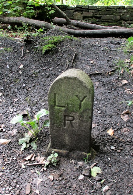
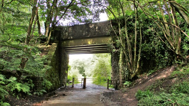
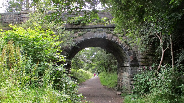
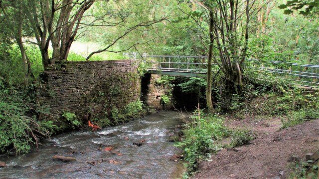
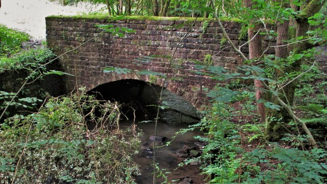
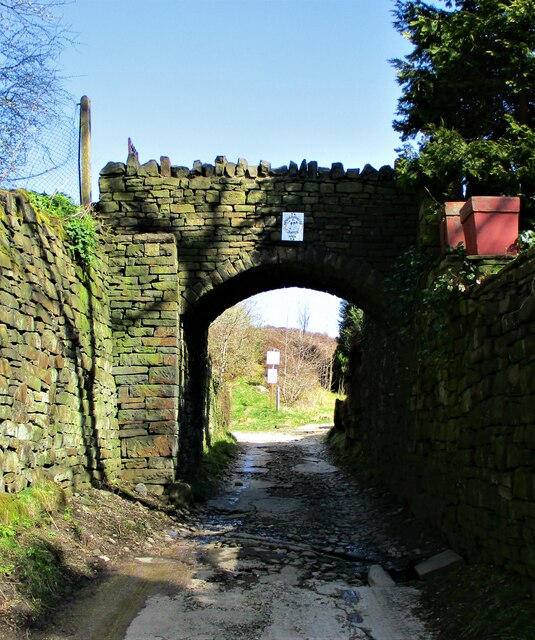
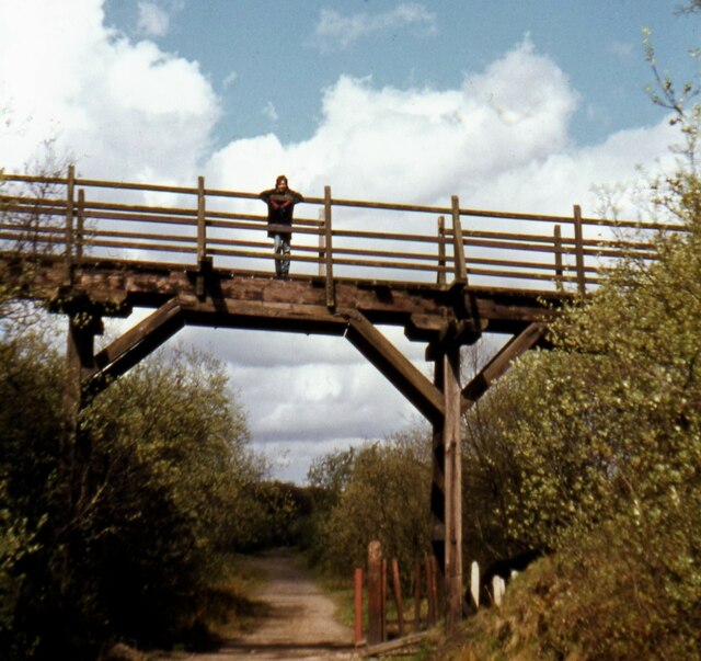
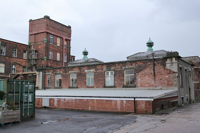
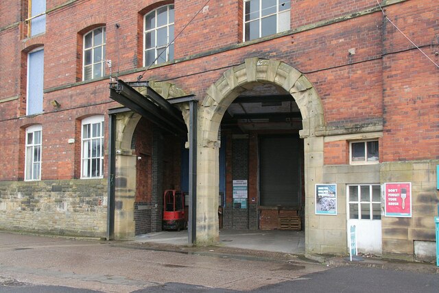
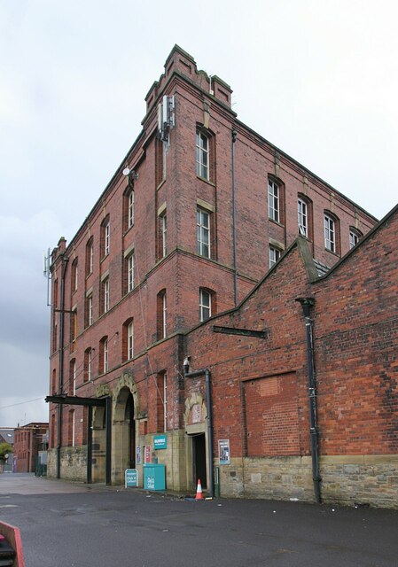
Captain Pasture Images
Images are sourced within 2km of 53.646436/-2.1546237 or Grid Reference SD8916. Thanks to Geograph Open Source API. All images are credited.

Captain Pasture is located at Grid Ref: SD8916 (Lat: 53.646436, Lng: -2.1546237)
Unitary Authority: Rochdale
Police Authority: Greater Manchester
What 3 Words
///having.fumes.logic. Near Wardle, Manchester
Nearby Locations
Related Wikis

Nook Farm, Rochdale
Nook Farm (sometimes called Syke Estate) is an estate of council houses situated within the area of Syke, part of Rochdale, in Greater Manchester, England...
Buckley Hall
Buckley Hall was a historic house in Buckley near Rochdale, Lancashire, England which was the home of the Buckley and later Entwistle family. The building...

HM Prison Buckley Hall
Buckley Hall Prison is a Category C male prison in the Buckley district of Rochdale in North West England. It is operated by His Majesty's Prison and Probation...

Healey, Greater Manchester
Healey is part of the Metropolitan Borough of Rochdale, Greater Manchester, England. Historically part of Lancashire, it includes Shawclough, Syke and...

Wardle, Greater Manchester
Wardle (; pop. 7,092) is a village near Littleborough within the Metropolitan Borough of Rochdale, in Greater Manchester, England. It lies amongst the...

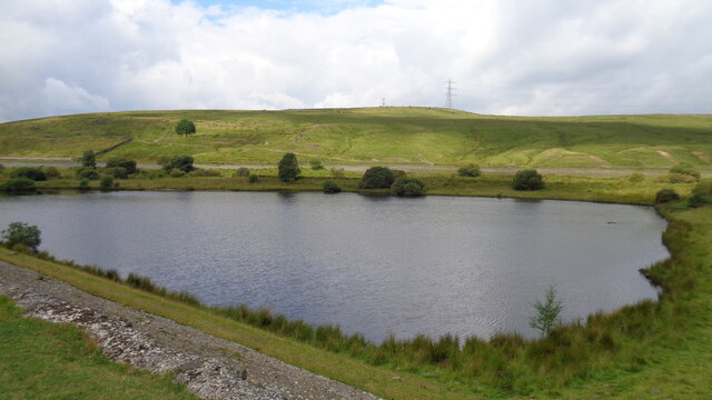
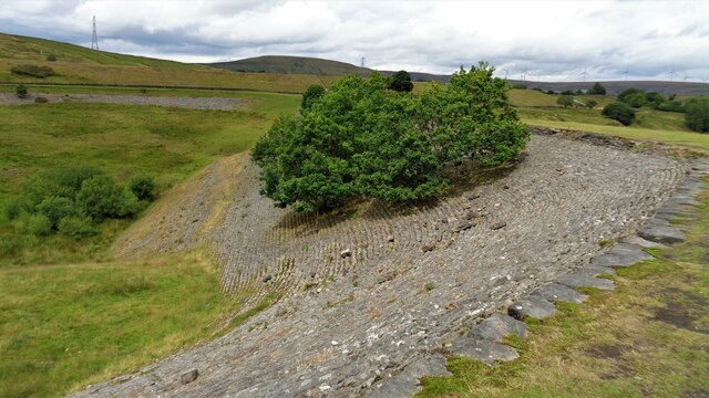
Watergrove Reservoir
Watergrove Reservoir is a reservoir close to Wardle in the Metropolitan Borough of Rochdale, within Greater Manchester, England. Rochdale Corporation...
Wardle Academy
Wardle Academy is a coeducational secondary school with academy status, located in Wardle, Greater Manchester, England. It was founded in September 1977...

Whitworth railway station
Whitworth railway station served the town of Whitworth, Rossendale, Lancashire, England, from 1870 until closure in 1947. == References == Lost Railways...
Nearby Amenities
Located within 500m of 53.646436,-2.1546237Have you been to Captain Pasture?
Leave your review of Captain Pasture below (or comments, questions and feedback).