Brownhouse Wham Reservoir

Lake, Pool, Pond, Freshwater Marsh in Lancashire

England

Brownhouse Wham Reservoir

Former Rochdale to Bacup Railway Trackbed at Shawclough Start of trail on trackbed with Dell Road retaining wall to the left
Former Rochdale to Bacup Railway Trackbed at Shawclough Credit: Kevin Waterhouse

Brownhouse Wham Reservoir is a small freshwater body located in the county of Lancashire, England. Situated in a rural area, this reservoir serves as an important water source for the surrounding communities. The reservoir covers an area of approximately 10 acres and is nestled amidst picturesque countryside.

The water in Brownhouse Wham Reservoir is primarily sourced from rainfall and natural springs. It is a relatively shallow body of water, with an average depth of around 6 feet. The water is generally pristine and clear, making it an ideal habitat for various aquatic flora and fauna.

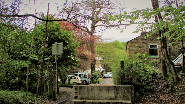
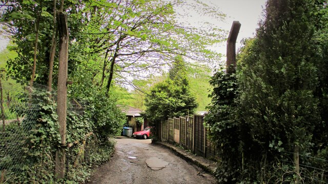
The reservoir is surrounded by lush greenery and offers a tranquil environment for visitors. It is a popular spot for fishing enthusiasts, as it is home to a variety of fish species, including perch, roach, and pike. Anglers can be seen casting their lines from the banks or from small fishing boats that are allowed on the reservoir.

In addition to fishing, Brownhouse Wham Reservoir also attracts birdwatchers and nature enthusiasts. The surrounding marshland provides a diverse habitat for different bird species, including herons, ducks, and swans. Visitors can observe these beautiful creatures as they glide across the water or rest on the marshy banks.

Access to Brownhouse Wham Reservoir is unrestricted, and there are no specific facilities or amenities available on-site. However, the tranquil surroundings and abundant wildlife make it a perfect destination for those seeking a peaceful retreat in nature.

If you have any feedback on the listing, please let us know in the comments section below.

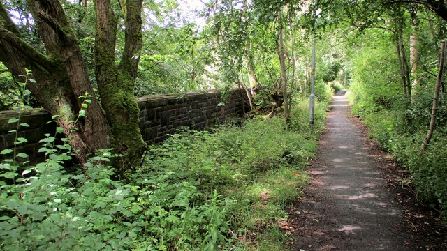
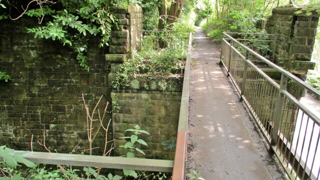
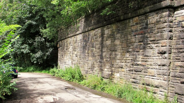
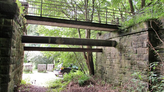
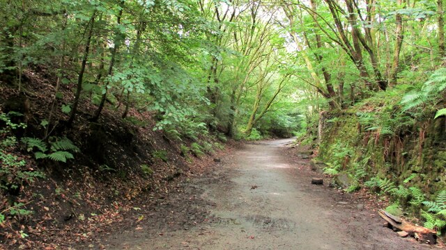
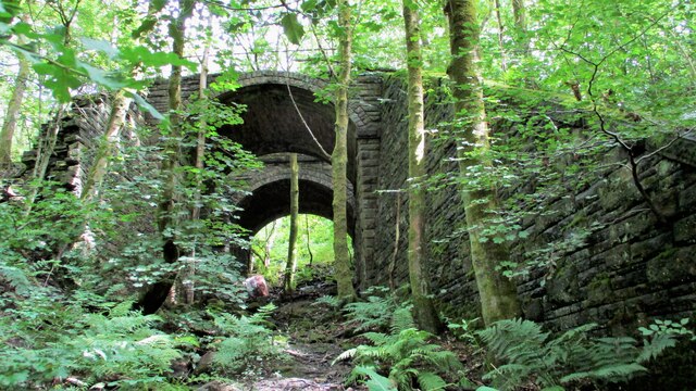
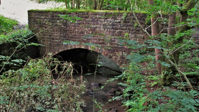
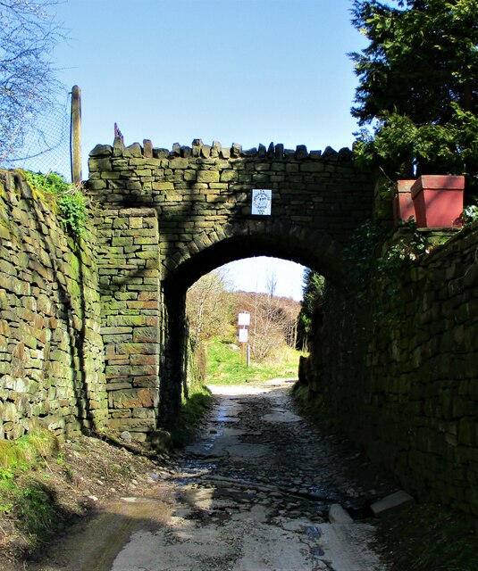
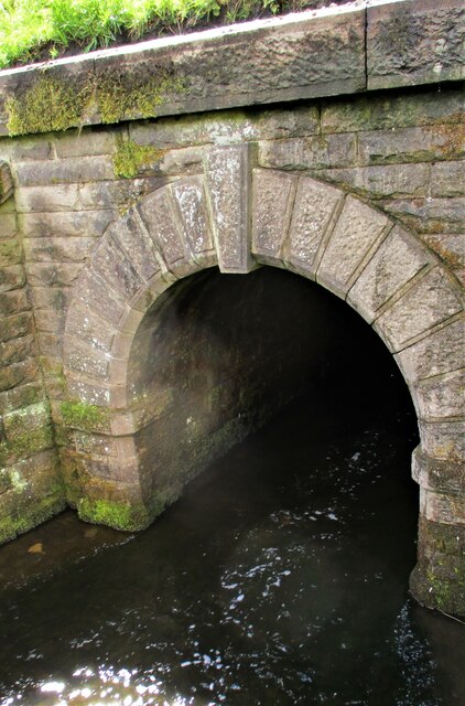
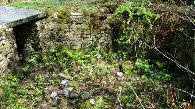
Brownhouse Wham Reservoir Images

Images are sourced within 2km of 53.644176/-2.1580189 or Grid Reference SD8916. Thanks to Geograph Open Source API. All images are credited.

Former Rochdale to Bacup Railway Trackbed at Shawclough Start of trail on trackbed with Dell Road retaining wall to the left
Former Rochdale to Bacup Railway Trackbed at Shawclough
Start of trail on trackbed with Dell Road retaining wall to the left
Footbridge replacement for Railway Bridge at Shawclough View towards Rochdale over former Shawclough Station access road
Footbridge replacement for Railway Bridge at Shawclough
View towards Rochdale over former Shawclough Station access road
Retaining Wall for Railway on Dell Road Shawclough Retaining Wall for Rochdale to Bacup Railway, view North
Retaining Wall for Railway on Dell Road Shawclough
Retaining Wall for Rochdale to Bacup Railway, view North
Railway Bridge Abutments at Shawclough Station Access Road Footbridge has replaced original Railway Bridge. Concrete Block barriers stop vehicle entry to Woodland Road from Dell Road
Railway Bridge Abutments at Shawclough Station Access Road
Footbridge has replaced original Railway Bridge. Concrete Block barriers stop vehicle entry to Woodland Road from Dell Road
Former Rochdale to Bacup Railway Trackbed after Shawclough Adverse Gradient after heading North from the former Shawclough Station at Dell Road bridge
Former Rochdale to Bacup Railway Trackbed after Shawclough
Adverse Gradient after heading North from the former Shawclough Station at Dell Road bridge
Siamese Railway Bridges at Healey The original bridge was found to be slipping down the hillside so another was built for the Rochdale to Bacup Railway.
Siamese Railway Bridges at Healey
The original bridge was found to be slipping down the hillside so another was built for the Rochdale to Bacup Railway.
Typical Rochdale/Whitworth Boundary Stone On the former Rochdale to Bacup Railway on the Boundary. The Boundary Stones in this area of Healey Corner had metal plates on the stones all now mainly removed.
This stone is typical but it may not be what it seems.
Typical Rochdale/Whitworth Boundary Stone
On the former Rochdale to Bacup Railway on the Boundary. The Boundary Stones in this area of Healey Corner had metal plates on the stones all now mainly removed. This stone is typical but it may not be what it seems.
Milestone 14 on Rochdale to Bacup Railway Close to Rochdale/Whitworth Boundary on former Railway Trackbed
Milestone 14 on Rochdale to Bacup Railway
Close to Rochdale/Whitworth Boundary on former Railway Trackbed
LYR Boundary Stone This stone is close to the former railway trackbed so may be re-positioned. South of Dell Road access to Healey Dell Viaduct.
LYR Boundary Stone
This stone is close to the former railway trackbed so may be re-positioned. South of Dell Road access to Healey Dell Viaduct.
Station Road Railway Bridge Broadley The Bridge from the South on the former trackbed. On the North side is the site of Broadley Station
Station Road Railway Bridge Broadley
The Bridge from the South on the former trackbed. On the North side is the site of Broadley Station
Railway Bridge on Rochdale to Bacup Line View South along former trackbed. The Bridge is now a footpath to the Wallbank Housing Estate
Railway Bridge on Rochdale to Bacup Line
View South along former trackbed. The Bridge is now a footpath to the Wallbank Housing Estate
Footbridge over River Spodden Metal Footbridge for numerous routes around Spodden Valley North of Healey Dell
Footbridge over River Spodden
Metal Footbridge for numerous routes around Spodden Valley North of Healey Dell
Bridge over River Spodden near Former Station Yard Substantial Bridge now footpath but gave alternative access perhaps to the Station Yard at Broadley. It is also the site of Broadley Mill.
Bridge over River Spodden near Former Station Yard
Substantial Bridge now footpath but gave alternative access perhaps to the Station Yard at Broadley. It is also the site of Broadley Mill.
Private Footbridge over Ending Rake Footbridge for Mount Ending residence where Ending Rake goes on to the moorland.
Private Footbridge over Ending Rake
Footbridge for Mount Ending residence where Ending Rake goes on to the moorland.
Culvert Portal under Prickshaw Lane Prickshaw Brook emerges
Culvert Portal under Prickshaw Lane
Prickshaw Brook emerges
Stone Rubbing Mill Remains The Southern Pit used in connection with grinding and finishing quarried stone.
The mill at Broadley Sidings was connected with Bagden Quarry by a railway.
Stone Rubbing Mill Remains
The Southern Pit used in connection with grinding and finishing quarried stone. The mill at Broadley Sidings was connected with Bagden Quarry by a railway.
Modern & WWII Pole Barriers Modern concrete block across Dell Road and WWII pole barrier still surviving from when the mill beyond was a munitions filling factory.
Modern & WWII Pole Barriers
Modern concrete block across Dell Road and WWII pole barrier still surviving from when the mill beyond was a munitions filling factory.
Dell Road North entrance to former WWII ROF Site MoD fencing poles mark entrance to former WWII munitions filling factory site in Healey Hall Mill
Dell Road North entrance to former WWII ROF Site
MoD fencing poles mark entrance to former WWII munitions filling factory site in Healey Hall Mill
Show me another place!

Brownhouse Wham Reservoir is located at Grid Ref: SD8916 (Lat: 53.644176, Lng: -2.1580189)

Unitary Authority: Rochdale

Police Authority: Greater Manchester

What 3 Words

///sooner.liked.things. Near Wardle, Manchester

Related Wikis

Healey, Greater Manchester

Healey is part of the Metropolitan Borough of Rochdale, Greater Manchester, England. Historically part of Lancashire, it includes Shawclough, Syke and...

Nook Farm, Rochdale

Nook Farm (sometimes called Syke Estate) is an estate of council houses situated within the area of Syke, part of Rochdale, in Greater Manchester, England...

HM Prison Buckley Hall

Buckley Hall Prison is a Category C male prison in the Buckley district of Rochdale in North West England. It is operated by His Majesty's Prison and Probation...

Buckley Hall

Buckley Hall was a historic house in Buckley near Rochdale, Lancashire, England which was the home of the Buckley and later Entwistle family. The building...

Nearby Amenities

Located within 500m of 53.644176,-2.1580189
Power: tower
Lat/Long: 53.648508/-2.156615
Power: tower
Lat/Long: 53.6475208/-2.1617141
Place: farm
Lat/Long: 53.6477961/-2.1569316
Lousy Hillock
Natural: peak
Lat/Long: 53.6421855/-2.1560814
Iron Waters
Leisure: park
Lat/Long: 53.6413885/-2.1544803
Barrier: cattle_grid
Lat/Long: 53.6401378/-2.1548978
Man Made: manhole
Manhole: drain
Lat/Long: 53.6422855/-2.1583338
Man Made: manhole
Manhole: drain
Lat/Long: 53.6430874/-2.1585404
Power: pole
Lat/Long: 53.6478169/-2.1584155
Power: pole
Lat/Long: 53.6473515/-2.1578079
Power: pole
Lat/Long: 53.6476143/-2.1581522
Barrier: cattle_grid
Lat/Long: 53.6449969/-2.1551846
Power: pole
Lat/Long: 53.6450748/-2.1550898
Power: pole
Lat/Long: 53.6465346/-2.1568565
Power: pole
Lat/Long: 53.6484298/-2.1590977
The data included in this document is from www.openstreetmap.org. The data is made available under ODbL.

Have you been to Brownhouse Wham Reservoir?

Leave your review of Brownhouse Wham Reservoir below (or comments, questions and feedback).