Jennie Rough

Downs, Moorland in Lancashire Rossendale

England

Jennie Rough

Railway Bridge on Rochdale to Bacup Line View South along former trackbed. The Bridge is now a footpath to the Wallbank Housing Estate
Railway Bridge on Rochdale to Bacup Line Credit: Kevin Waterhouse

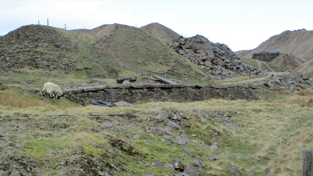
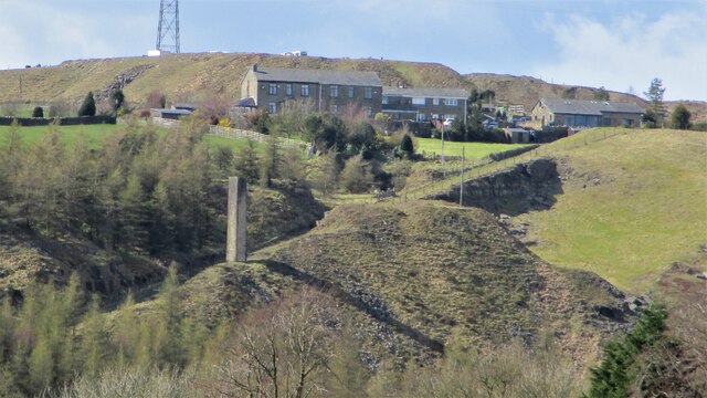
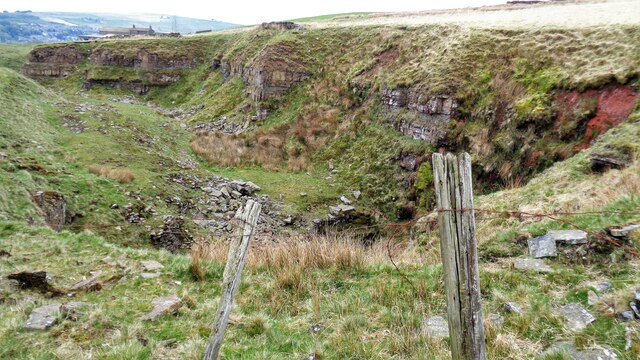
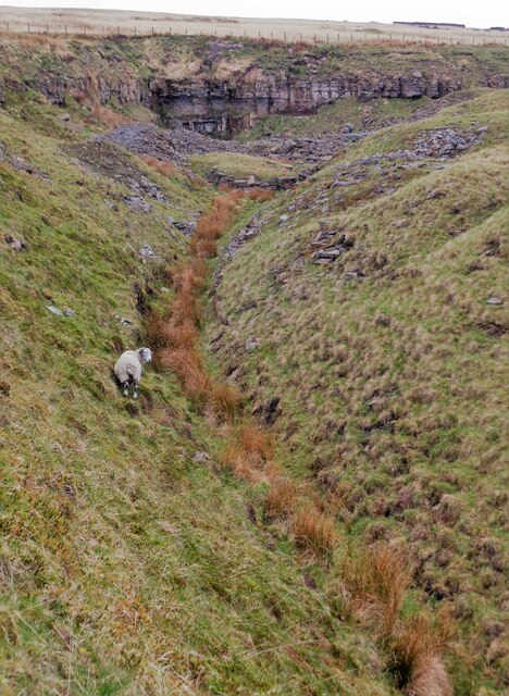
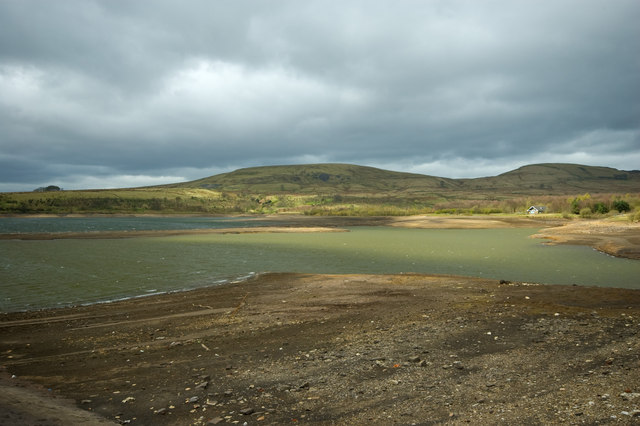
Jennie Rough is a picturesque rural area located in Lancashire, England. Situated amidst the stunning scenery of the Downs and Moorland, this region offers an idyllic countryside setting that is perfect for nature lovers and outdoor enthusiasts.

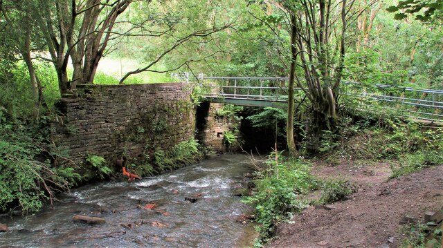
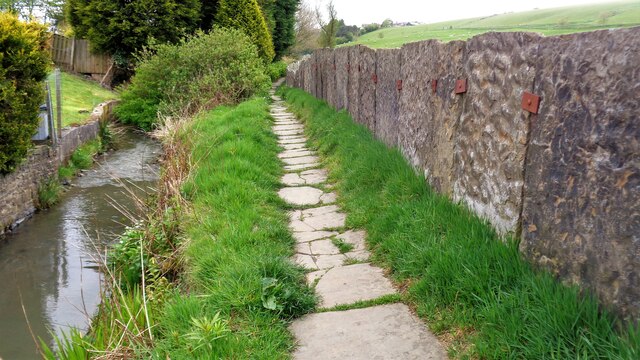
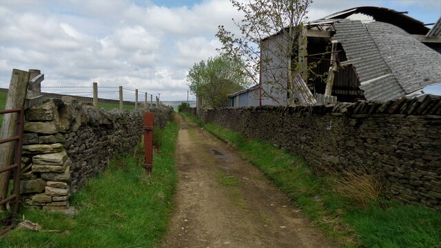
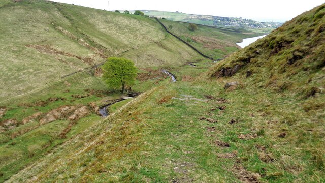
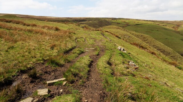
Characterized by rolling hills, vast open fields, and lush green landscapes, Jennie Rough boasts a diverse range of flora and fauna. The area is dotted with charming villages, adding to its undeniable charm and tranquility. The locals are known for their warm hospitality and strong community spirit, making it a welcoming place to visit or live.

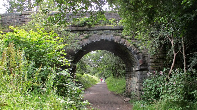
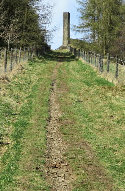
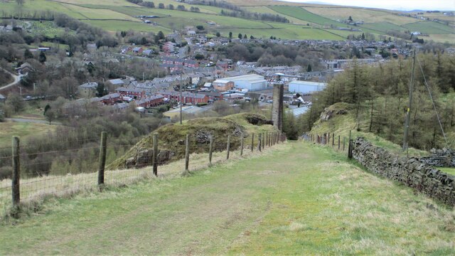
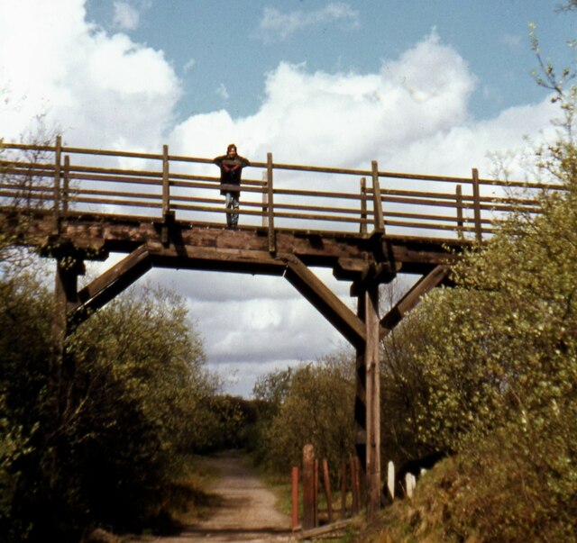
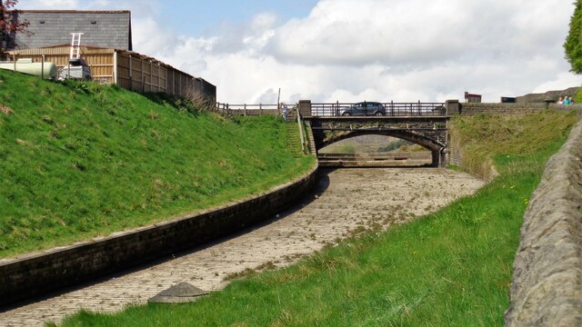
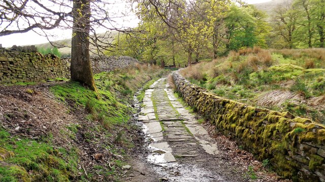
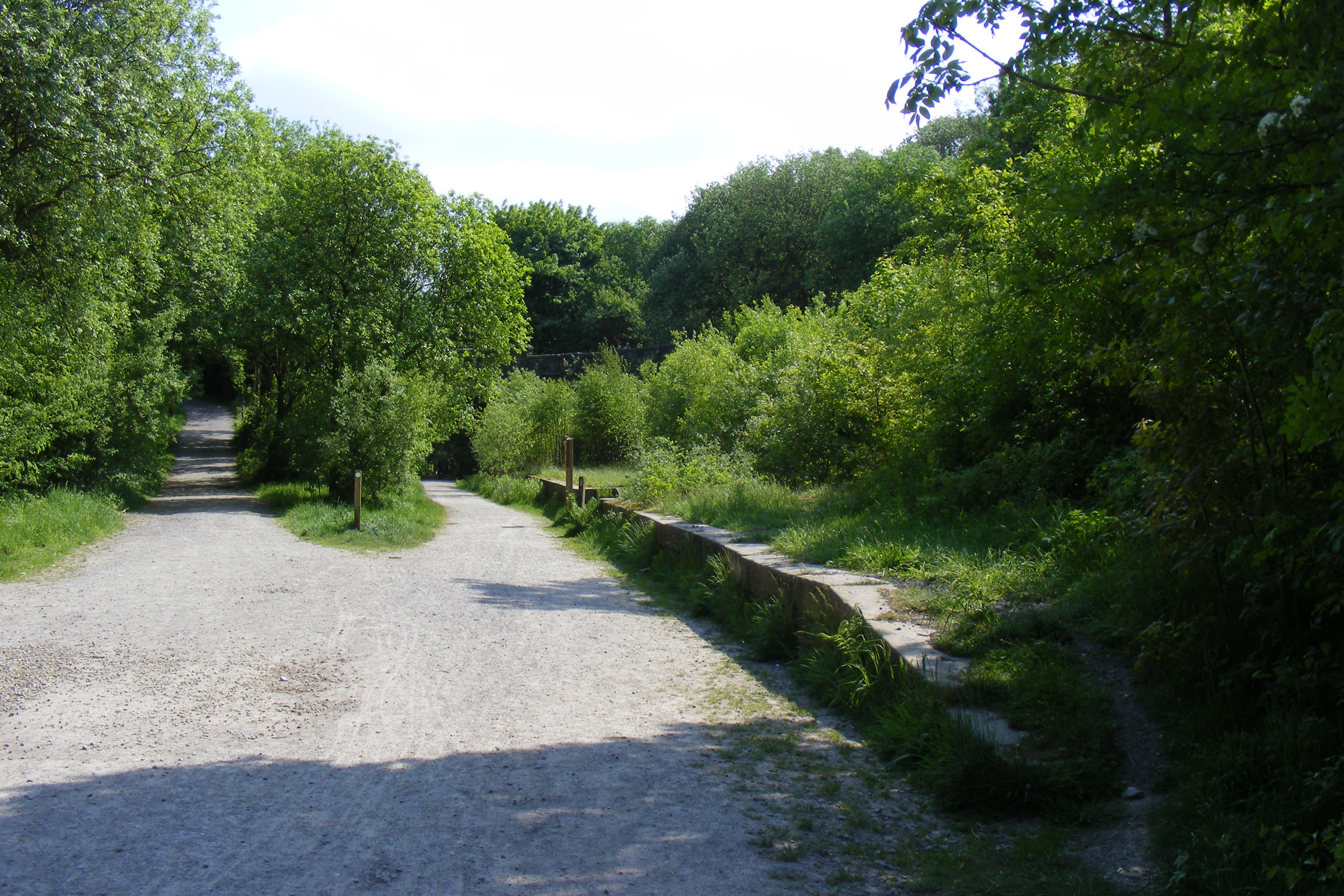
Jennie Rough is also renowned for its extensive network of walking and hiking trails. These trails offer breathtaking views of the surrounding countryside, making it an ideal destination for those seeking an active and adventurous getaway. Whether it's a leisurely stroll or a challenging hike, there is something for everyone to enjoy.

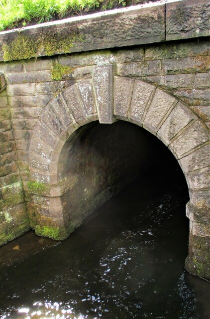
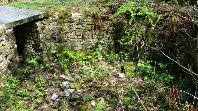
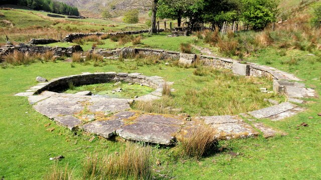
In addition to its natural beauty, Jennie Rough is rich in history and heritage. The area is home to several historical landmarks, including ancient stone circles, burial mounds, and ruins. These remnants of the past provide an insight into the region's fascinating history and are a source of intrigue for history buffs and archaeology enthusiasts.

Overall, Jennie Rough, Lancashire (Downs, Moorland) is a captivating destination that combines the beauty of nature with a rich cultural heritage. Its stunning landscapes, friendly locals, and historical significance make it a must-visit location for anyone seeking an authentic countryside experience.

If you have any feedback on the listing, please let us know in the comments section below.

Jennie Rough Images

Images are sourced within 2km of 53.660825/-2.1928557 or Grid Reference SD8718. Thanks to Geograph Open Source API. All images are credited.

Railway Bridge on Rochdale to Bacup Line View South along former trackbed. The Bridge is now a footpath to the Wallbank Housing Estate
Railway Bridge on Rochdale to Bacup Line
View South along former trackbed. The Bridge is now a footpath to the Wallbank Housing Estate
Footbridge over River Spodden Metal Footbridge for numerous routes around Spodden Valley North of Healey Dell
Footbridge over River Spodden
Metal Footbridge for numerous routes around Spodden Valley North of Healey Dell
Facit Chimney adjacent to Quarry Tramway Incline View up the Tramway Incline
Facit Chimney adjacent to Quarry Tramway Incline
View up the Tramway Incline
Facit Chimney adjacent to Quarry Tramway Incline View down the Quarry Tramway Incline from near Cowm Top. Facit in the valley below
Facit Chimney adjacent to Quarry Tramway Incline
View down the Quarry Tramway Incline from near Cowm Top. Facit in the valley below
Tramway trackbed at Facit Quarries above Incline Stonework suggests a former loading platform for the Tramway
Tramway trackbed at Facit Quarries above Incline
Stonework suggests a former loading platform for the Tramway
Facit Chimney & Quarry Tramway Incline View to Cowm Top from across the valley at Whitworth Cemetery
Facit Chimney & Quarry Tramway Incline
View to Cowm Top from across the valley at Whitworth Cemetery
Culvert Portal under Prickshaw Lane Prickshaw Brook emerges
Culvert Portal under Prickshaw Lane
Prickshaw Brook emerges
Stone Rubbing Mill Remains The Southern Pit used in connection with grinding and finishing quarried stone.
The mill at Broadley Sidings was connected with Bagden Quarry by a railway.
Stone Rubbing Mill Remains
The Southern Pit used in connection with grinding and finishing quarried stone. The mill at Broadley Sidings was connected with Bagden Quarry by a railway.
Old Footbridge over former Railway This wooden bridge has been demolished, standing just short of Broadley Stone sidings on the former Rochdale-Bacup railway line. The footpath linked Broadley Fold and Tonacliffe
Old Footbridge over former Railway
This wooden bridge has been demolished, standing just short of Broadley Stone sidings on the former Rochdale-Bacup railway line. The footpath linked Broadley Fold and Tonacliffe
Cowm Reservoir Spillway
Picnic Site off Back Cowm Lane At the north end of Cowm Reservoir. Was this a millennium project now somewhat neglected?
Picnic Site off Back Cowm Lane
At the north end of Cowm Reservoir. Was this a millennium project now somewhat neglected?
Paved Lane north of Cowm Reservoir This lane leads from the picnic site to tracks on the west side of the reservoir
Paved Lane north of Cowm Reservoir
This lane leads from the picnic site to tracks on the west side of the reservoir
Hey Lane Quarry
Hey Lane Quarry
Tramway Route at Thurns End Quarry The former tramway was at the bottom of the cutting
Tramway Route at Thurns End Quarry
The former tramway was at the bottom of the cutting
Path by Tong End Brook The path is squeezed between the brook and the stone flag walling
Path by Tong End Brook
The path is squeezed between the brook and the stone flag walling
Walled Track at Houses o'th'Hill The track is a bridleway and part of Rossendale Way
Walled Track at Houses o'th'Hill
The track is a bridleway and part of Rossendale Way
Prickshaw Brook Valley View from the Rossendale Way track along the course of the brook to Spring Mill Reservoir
Prickshaw Brook Valley
View from the Rossendale Way track along the course of the brook to Spring Mill Reservoir
Former Railway Trackbed to Bagden Quarry Viewed from near what was believed to be an engine shed (remains behind the camera)
Former Railway Trackbed to Bagden Quarry
Viewed from near what was believed to be an engine shed (remains behind the camera)
Show me another place!

Jennie Rough is located at Grid Ref: SD8718 (Lat: 53.660825, Lng: -2.1928557)

Administrative County: Lancashire

District: Rossendale

Police Authority: Lancashire

What 3 Words

///escape.young.fame. Near Whitworth, Lancashire

Nearby Locations

Shore Head Jennie Rough

Related Wikis

Whitworth, Lancashire

Whitworth is a town and civil parish in Rossendale, Lancashire, England, amongst the foothills of the Pennines between Bacup, to the north, and Rochdale...

Whitworth railway station

Whitworth railway station served the town of Whitworth, Rossendale, Lancashire, England, from 1870 until closure in 1947. == References == Lost Railways...

Facit railway station

Facit railway station served Facit near Whitworth, Rossendale, Lancashire, England, from 1870 until closure to passengers in 1947 and freight in 1963....

Broadley railway station

Broadley railway station served Broadley in Rochdale, England, from 1870 until closure in 1947. It was situated at Healey Dell. == References == Lost Railways...
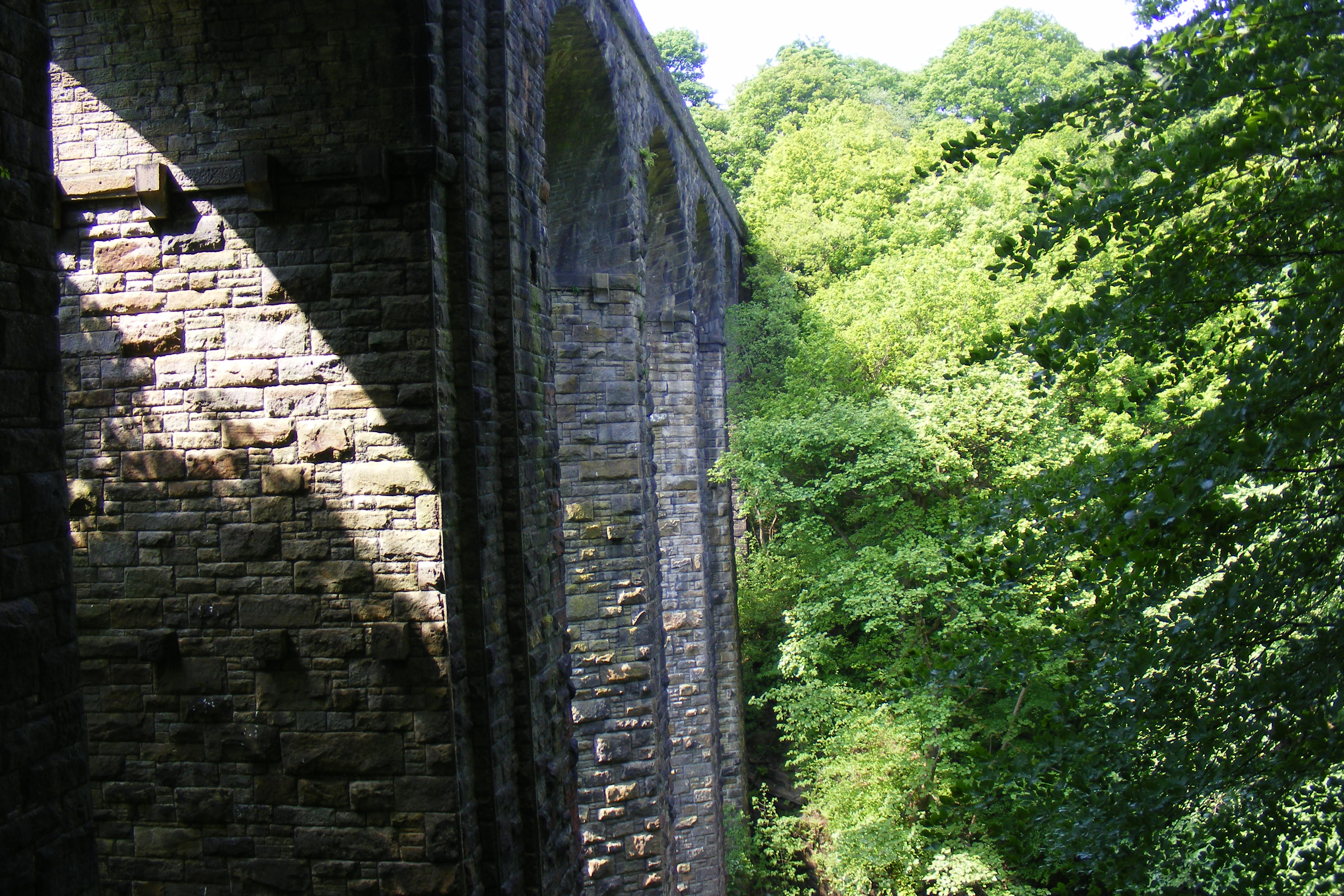
Healey Dell Viaduct

Healey Dell Viaduct is a viaduct situated in Healey Dell Nature Reserve in the Spodden Valley, on the outskirts of Rochdale in Greater Manchester, England...

Brown Wardle Hill

Brown Wardle is a hill between the village of Wardle, Greater Manchester and the town of Whitworth, Lancashire, England. The summit is on the border of...

Healey, Greater Manchester

Healey is part of the Metropolitan Borough of Rochdale, Greater Manchester, England. Historically part of Lancashire, it includes Shawclough, Syke and...

Shawforth railway station

Shawforth railway station served Shawforth near Bacup, Rossendale, Lancashire, England, from 1881 until closure in 1947. == References == Suggitt, Gordon...

Nearby Amenities

Located within 500m of 53.660825,-2.1928557
Power: tower
Lat/Long: 53.6611594/-2.1883554
Power: tower
Lat/Long: 53.6633066/-2.187017
Power: tower
Lat/Long: 53.6587866/-2.1897981
Power: tower
Lat/Long: 53.6565359/-2.1911821
Ford: yes
Lat/Long: 53.6594232/-2.1942327
Ford: yes
Lat/Long: 53.6618163/-2.1946687
The data included in this document is from www.openstreetmap.org. The data is made available under ODbL.

Have you been to Jennie Rough?

Leave your review of Jennie Rough below (or comments, questions and feedback).