Warren Heath
Downs, Moorland in Dorset
England
Warren Heath
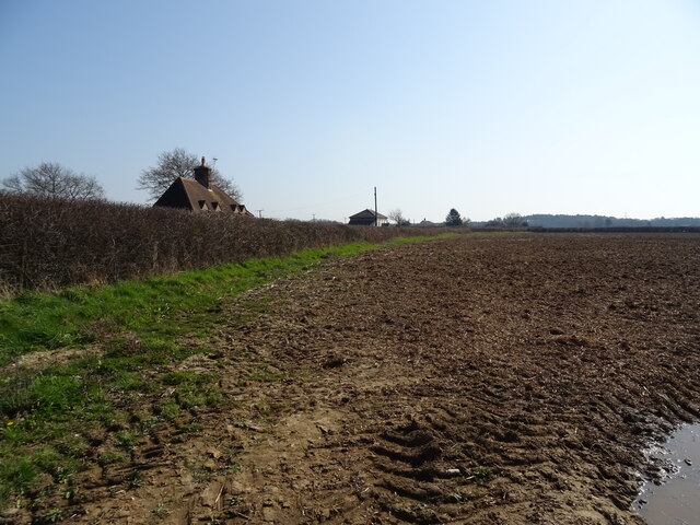
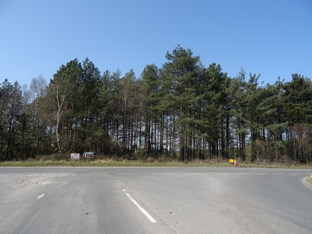
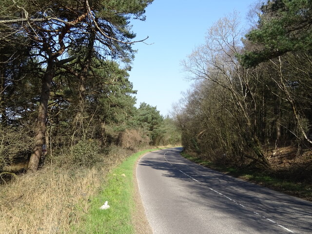
Warren Heath is a picturesque area located in the county of Dorset, England. Situated on the outskirts of the small village of Warren, it encompasses a diverse landscape of downs and moorland. The heath is known for its natural beauty and tranquility, making it a popular destination for nature enthusiasts and hikers.
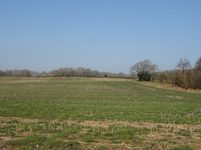
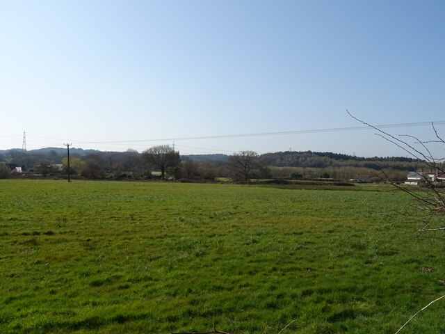
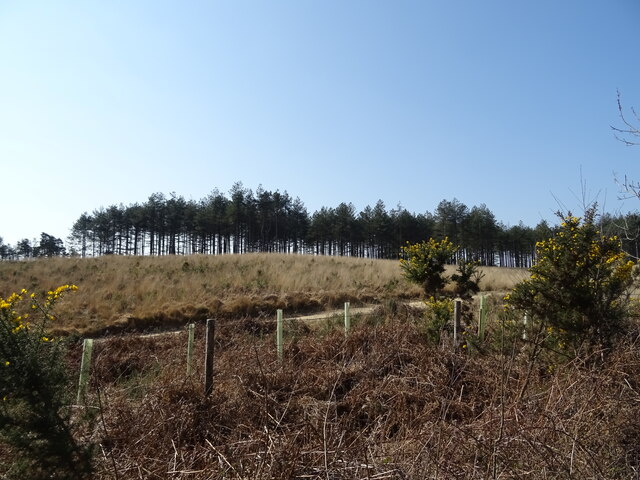
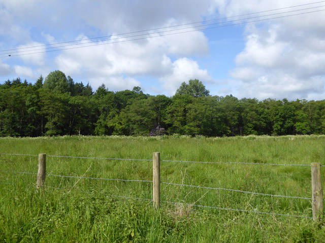
The downs of Warren Heath are characterized by rolling hills covered in lush grasses and wildflowers, offering breathtaking views of the surrounding countryside. The area is home to a variety of wildlife, including rabbits, foxes, and various bird species, making it a haven for birdwatchers and animal lovers alike.
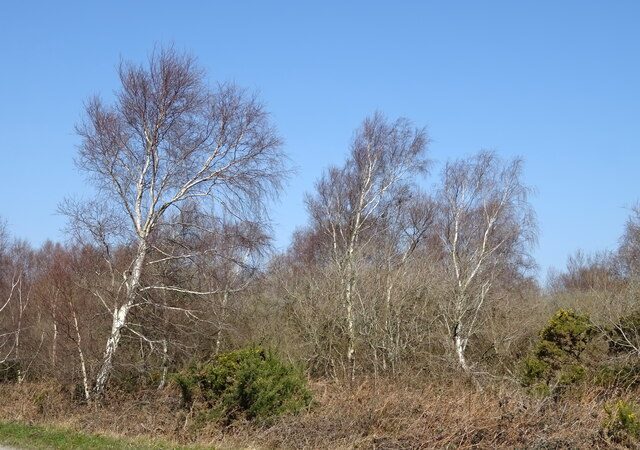
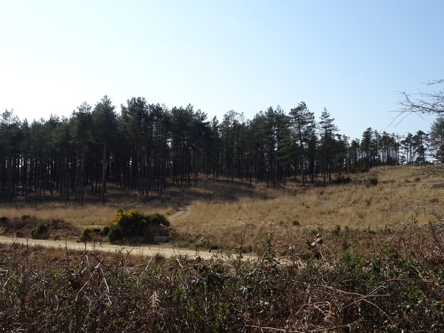
In contrast, the moorland of Warren Heath is a rugged and untamed landscape, characterized by open expanses of heather and gorse. The moorland is intersected by meandering streams and dotted with pockets of woodland, creating a unique and diverse habitat for a range of plant and animal species.
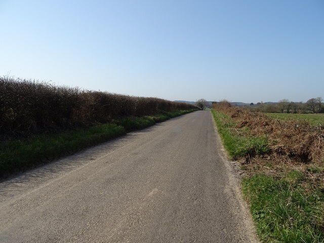
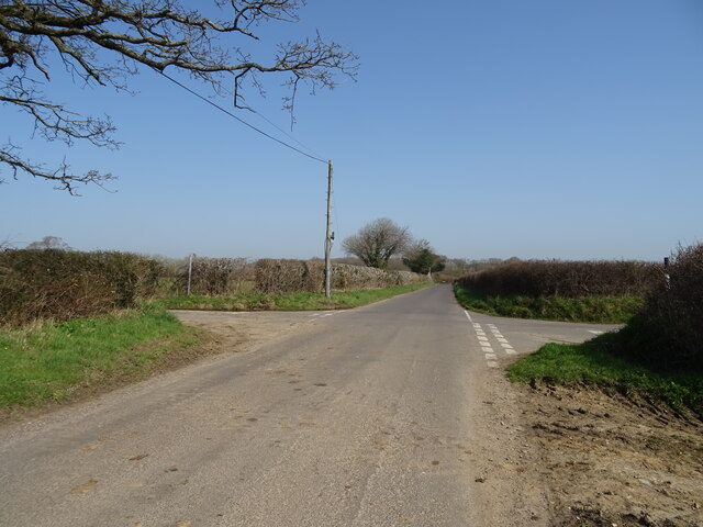
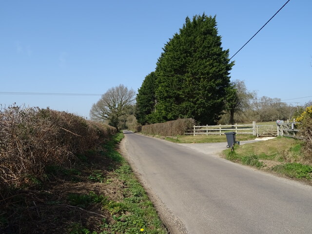
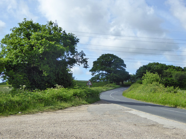
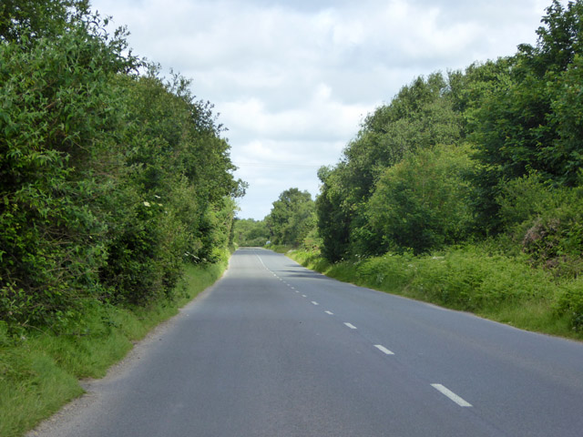
The area is crisscrossed by a network of footpaths and trails, allowing visitors to explore the beauty of Warren Heath at their own pace. These paths offer opportunities for leisurely walks, challenging hikes, and even horse riding. The heath is also a popular spot for picnicking, with many designated areas providing stunning views and peaceful surroundings.
Warren Heath is not only a natural haven but also holds historical significance. The area is scattered with remnants of ancient settlements, including burial mounds and earthworks, providing a glimpse into its rich past.
Overall, Warren Heath in Dorset is a captivating destination that showcases the beauty of the English countryside. With its diverse landscape, abundant wildlife, and historical significance, it offers something for everyone seeking solace and serenity in nature.
If you have any feedback on the listing, please let us know in the comments section below.
Warren Heath Images
Images are sourced within 2km of 50.721827/-2.2055849 or Grid Reference SY8591. Thanks to Geograph Open Source API. All images are credited.
Warren Heath is located at Grid Ref: SY8591 (Lat: 50.721827, Lng: -2.2055849)
Unitary Authority: Dorset
Police Authority: Dorset
What 3 Words
///awards.arise.obstinate. Near Bovington Camp, Dorset
Nearby Locations
Related Wikis

Bere Stream
Bere Stream (grid reference SY860926) is an 11.2 hectare biological Site of Special Scientific Interest in Dorset, notified in 1977. == Sources == English...

Turners Puddle
Turners Puddle is a village and former civil parish, now in the parish of Affpuddle and Turnerspuddle, in the Dorset district, in the ceremonial county...
Wareham Forest
Wareham Forest is an area of countryside in Dorset, England, consisting of open heathland, including Decoy Heath and Gore Heath, and plantations of conifers...
Monkey World
The Monkey World Ape Rescue Centre is a 65-acre (26.3 ha) ape and monkey sanctuary and rescue centre near Wool, Dorset, England. == History == Set up in...
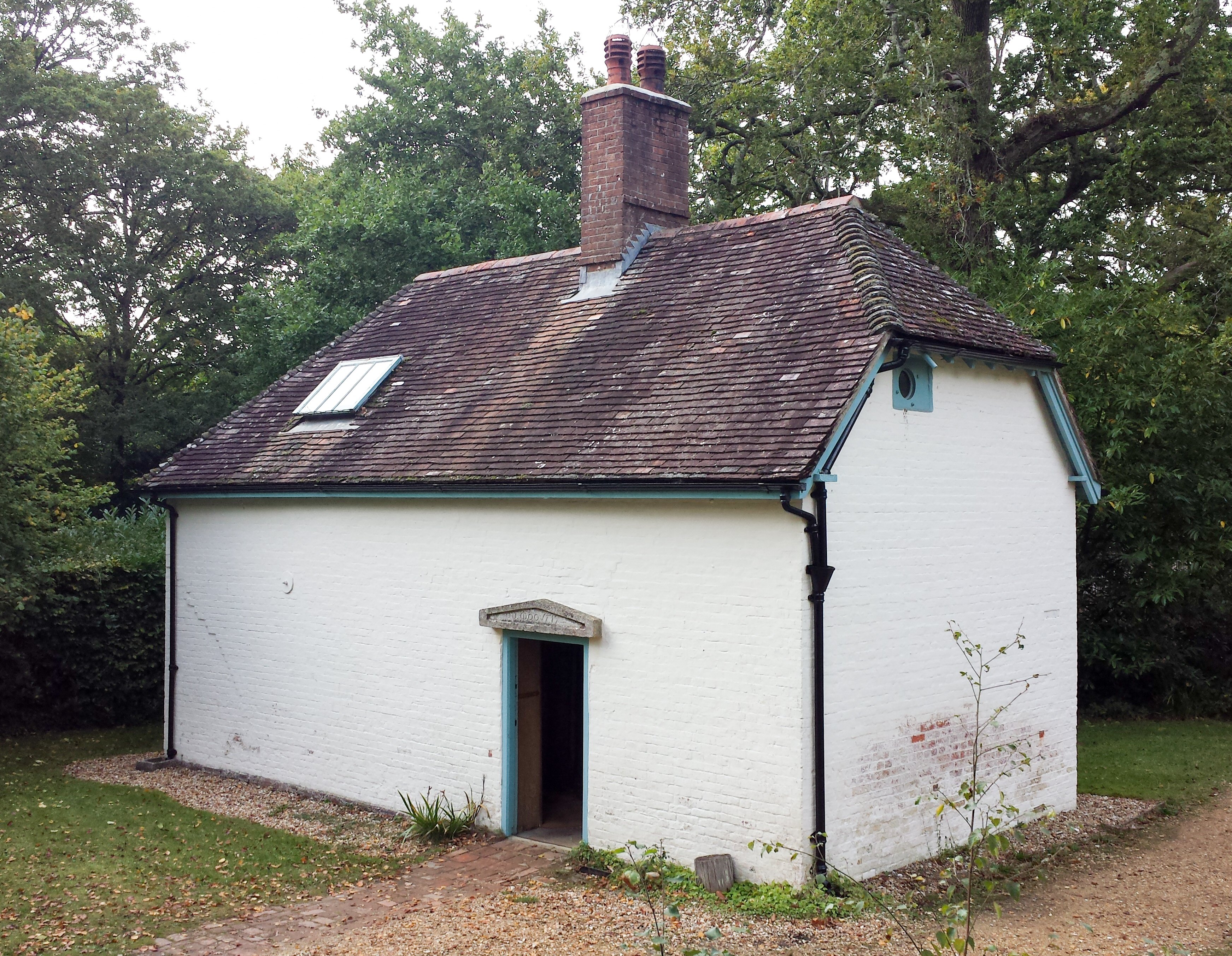
Clouds Hill
Clouds Hill is an isolated cottage near Wareham in the county of Dorset in South West England. It is the former home of T. E. Lawrence ("Lawrence of Arabia...

Woodbury Hill, Dorset
Woodbury Hill is a hill near Bere Regis in Dorset, England. It is the site of an Iron Age hillfort (a scheduled monument), and the location of an annual...

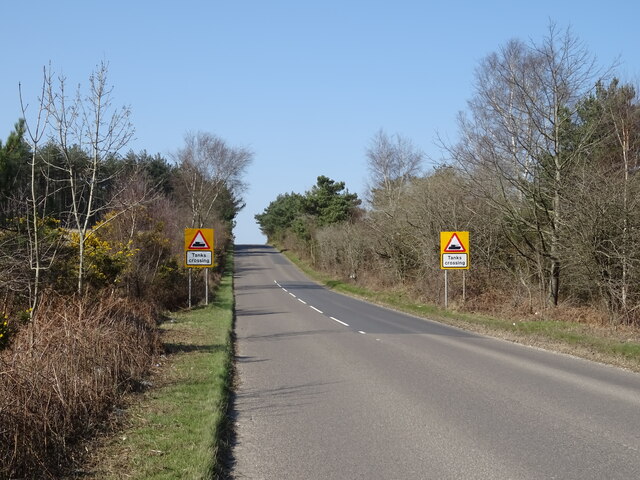
Bovington Camp
Bovington Camp () is a British Army military base in Dorset, England. Together with Lulworth Camp it forms part of Bovington Garrison. The garrison is...
Black Hill Heath
Black Hill Heath (grid reference SY835943) is a 69.67 hectare biological Site of Special Scientific Interest in Dorset, notified in 1989. == Sources... ==
Nearby Amenities
Located within 500m of 50.721827,-2.2055849Have you been to Warren Heath?
Leave your review of Warren Heath below (or comments, questions and feedback).