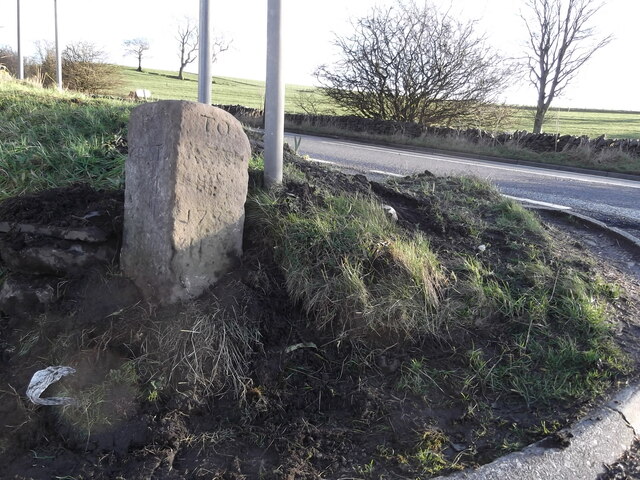
Hellifield Green
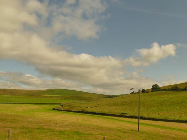
Downs, Moorland in Yorkshire Craven
England
Hellifield Green

Hellifield Green is a picturesque village nestled in the heart of Yorkshire, England. Located in the district of Craven, it is surrounded by the stunning scenery of the Yorkshire Dales National Park. The village is situated on a gently sloping landscape, combining the beauty of the Downs and Moorland areas.
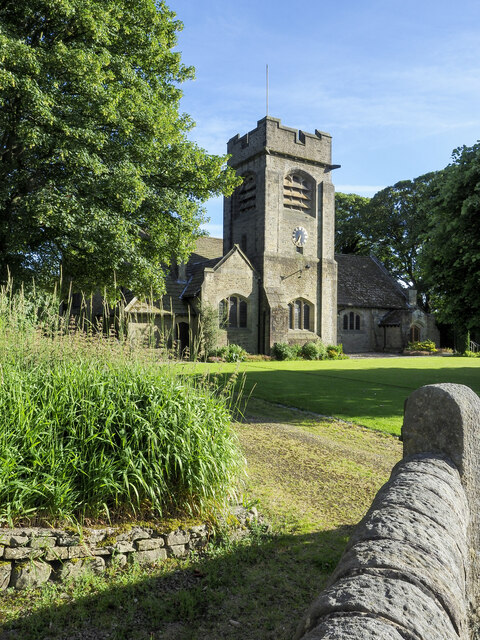
The village itself is characterized by charming stone-built houses, many of which date back to the 18th and 19th centuries. Traditional dry stone walls define the boundaries of the village and add to its rustic charm. The peaceful atmosphere of Hellifield Green is enhanced by its small population and tight-knit community.
Surrounded by rolling hills and lush green fields, Hellifield Green offers numerous opportunities for outdoor activities and exploration. The nearby Yorkshire Dales provides an abundance of walking and hiking trails, offering breathtaking views of the surrounding countryside. The moorland areas, with their unique flora and fauna, make it a haven for nature enthusiasts.
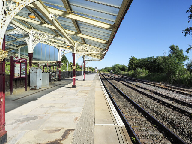
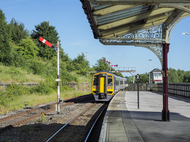
Despite its rural nature, Hellifield Green is well-connected to nearby towns and cities. The village has its own railway station, providing easy access to destinations such as Skipton, Leeds, and Manchester. The local amenities include a village hall, a primary school, a post office, and a pub, ensuring that residents have all the essentials close at hand.
In conclusion, Hellifield Green is a quintessential Yorkshire village, offering a peaceful and idyllic setting amidst the natural beauty of the Yorkshire Downs and Moorland. With its rich history, stunning landscapes, and strong sense of community, it is a place that captures the hearts of both locals and visitors alike.
If you have any feedback on the listing, please let us know in the comments section below.
Hellifield Green Images
Images are sourced within 2km of 54.000599/-2.2218541 or Grid Reference SD8556. Thanks to Geograph Open Source API. All images are credited.


Hellifield Green is located at Grid Ref: SD8556 (Lat: 54.000599, Lng: -2.2218541)
Division: West Riding
Administrative County: North Yorkshire
District: Craven
Police Authority: North Yorkshire
What 3 Words
///outgoing.worldwide.mute. Near Hellifield, North Yorkshire
Nearby Locations
Related Wikis

Hellifield
Hellifield is a village and civil parish in the Craven district of North Yorkshire, England (grid reference SD855565). Historically part of the West Riding...
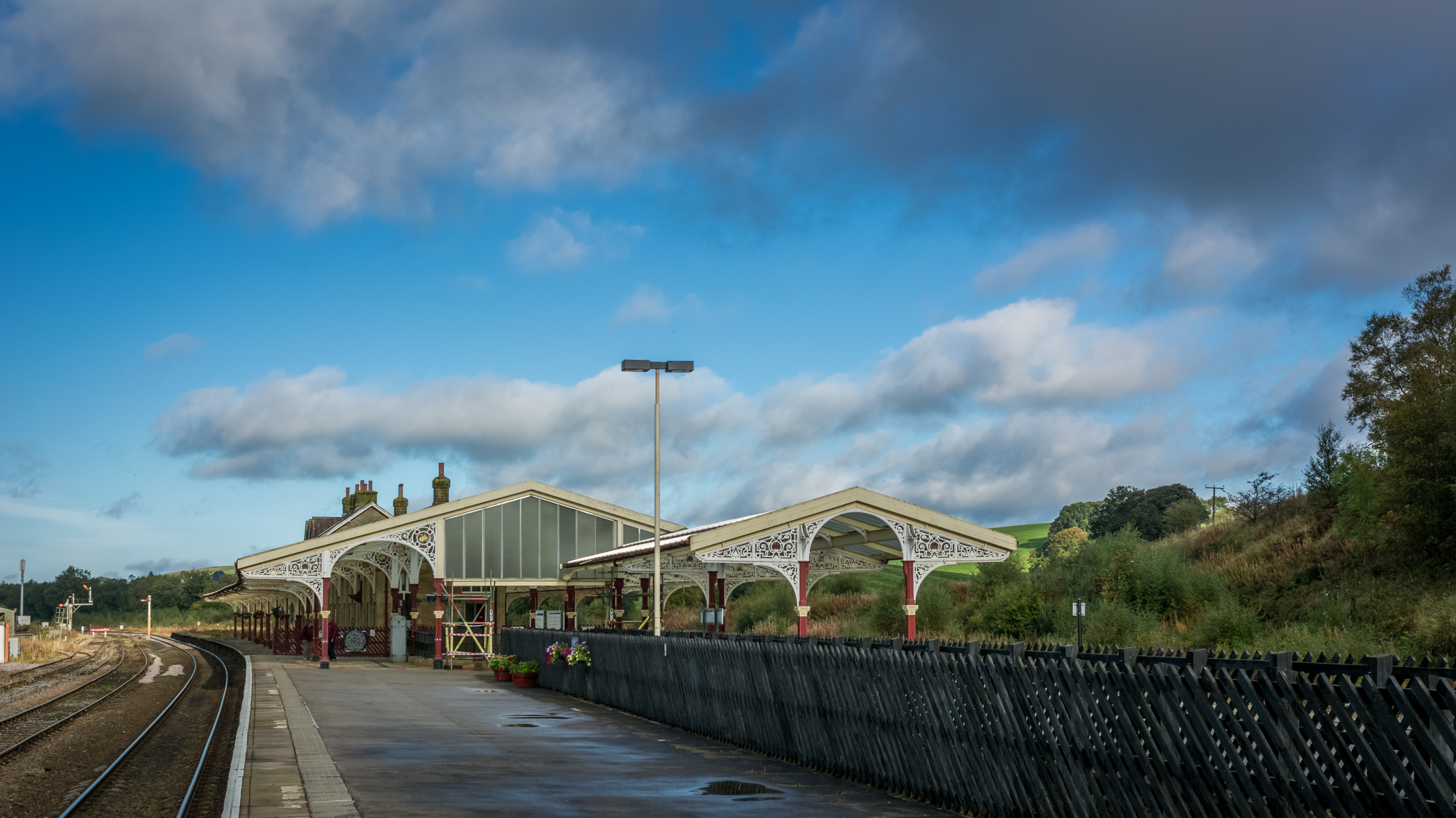
Hellifield railway station
Hellifield is a railway station on the Bentham Line, which runs between Leeds and Morecambe via Skipton. The station, situated 36 miles 17 chains (58.3...

Hellifield engine shed
Hellifield Engine Shed was a railway locomotive depot adjacent to Hellifield railway station in North Yorkshire, England. The depot opened in 1880 and...

Swinden
Swinden is a village in the civil parish of Hellifield, in North Yorkshire, England. It is near Halton West and Nappa and about 7 miles north of Barnoldswick...

Halton West
Halton West is a village and civil parish in the Craven district of North Yorkshire, England. North Yorkshire County Council estimated the population in...

Nappa, North Yorkshire
Nappa is a hamlet in the civil parish of Hellifield, in North Yorkshire, England. It is on the A682 road and 6 miles (9.7 km) north-west of Barnoldswick...

Long Preston railway station
Long Preston is a railway station on the Bentham Line, which runs between Leeds and Morecambe via Skipton. The station, situated 37+1⁄2 miles (60 km) north...
Long Preston
Long Preston is a village and civil parish in the Craven district of North Yorkshire, England, in the Yorkshire Dales. It lies along the A65 road, and...
Nearby Amenities
Located within 500m of 54.000599,-2.2218541Have you been to Hellifield Green?
Leave your review of Hellifield Green below (or comments, questions and feedback).