Sting Brae
Downs, Moorland in Kincardineshire
Scotland
Sting Brae

Sting Brae is a prominent geological feature located in the county of Kincardineshire, Scotland. Situated in the downs and moorland region, it is known for its rugged and picturesque landscape. The name "Sting Brae" is derived from the old Scots word "sting," meaning a steep incline or slope, which accurately describes the topography of the area.
The brae itself is a steep hillside covered in heather and grass, offering stunning panoramic views of the surrounding countryside. It is primarily composed of granite, a common rock type in the region, which gives the landscape a distinct character. The granite formations create a series of ridges and valleys, adding to the visual appeal of the area.
The downs and moorland surrounding Sting Brae are characterized by open expanses of grassland and heath, interspersed with patches of woodland. This unique habitat supports a variety of flora and fauna, including heather, gorse, and a range of bird species such as grouse and pheasants. The area is also home to several species of small mammals, including rabbits and foxes.
Sting Brae is a popular destination for nature lovers, hikers, and outdoor enthusiasts. Its challenging terrain and breathtaking views make it an ideal location for walking, trekking, and photography. Visitors can explore the numerous trails that crisscross the area, providing opportunities to discover the rich natural beauty and wildlife that Sting Brae has to offer.
Overall, Sting Brae in Kincardineshire is a magnificent example of Scotland's diverse landscape, combining steep inclines, granite formations, and open moorland to create a truly unique and awe-inspiring destination.
If you have any feedback on the listing, please let us know in the comments section below.
Sting Brae Images
Images are sourced within 2km of 56.960175/-2.2487546 or Grid Reference NO8485. Thanks to Geograph Open Source API. All images are credited.


Sting Brae is located at Grid Ref: NO8485 (Lat: 56.960175, Lng: -2.2487546)
Unitary Authority: Aberdeenshire
Police Authority: North East
What 3 Words
///eradicate.tungsten.thinker. Near Stonehaven, Aberdeenshire
Nearby Locations
Related Wikis

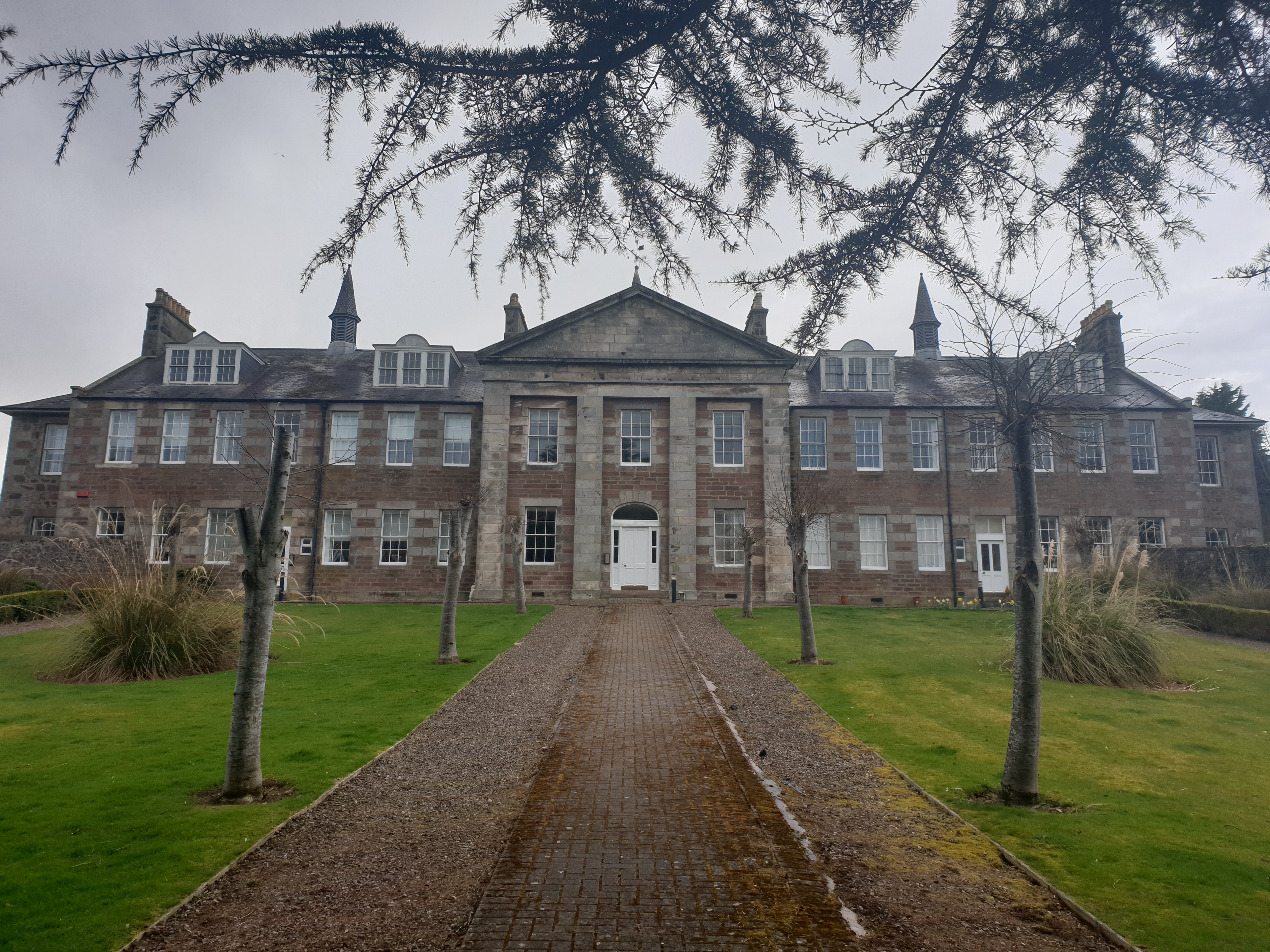
Kirktown of Fetteresso
The Kirktown of Fetteresso is a well-preserved village near Stonehaven, Scotland. In the planning area of Kincardine and Mearns, Aberdeenshire, this village...
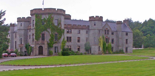
Fetteresso Castle
Fetteresso Castle is a 14th-century tower house, rebuilt in 1761 as a Scottish Gothic style Palladian manor, with clear evidence of prehistoric use of...

Red Cloak
Red Cloak is an industrial area of Stonehaven, Aberdeenshire, Scotland. The site's settlement history is associated with events at the nearby Chapel of...

Dunnottar Parish Church
Dunnottar Parish Church is a parish church of the Church of Scotland, serving Stonehaven in the south of Aberdeenshire, Scotland. It is within the Church...

Kincardine Community Hospital
Kincardine Community Hospital is a small hospital at Kirkton Road, Stonehaven, Aberdeenshire, Scotland. It is managed by NHS Grampian. == History == The...

Stonehaven railway station
Stonehaven railway station serves the town of Stonehaven in Aberdeenshire, Scotland, United Kingdom. It is sited 224 miles 74 chains (362.0 kilometres...
Woodcot Hospital
Woodcot Hospital was a health facility in Woodcot Brae, Stonehaven, Scotland. It is a Category B listed building. == History == The hospital had its origins...

Tewel
Tewel is a hamlet located approximately two miles west of Stonehaven, Kincardineshire on the Auchenblae Road in Northeast Scotland. It consists of: Tewel...
Nearby Amenities
Located within 500m of 56.960175,-2.2487546Have you been to Sting Brae?
Leave your review of Sting Brae below (or comments, questions and feedback).