Stoke Heath
Downs, Moorland in Dorset
England
Stoke Heath
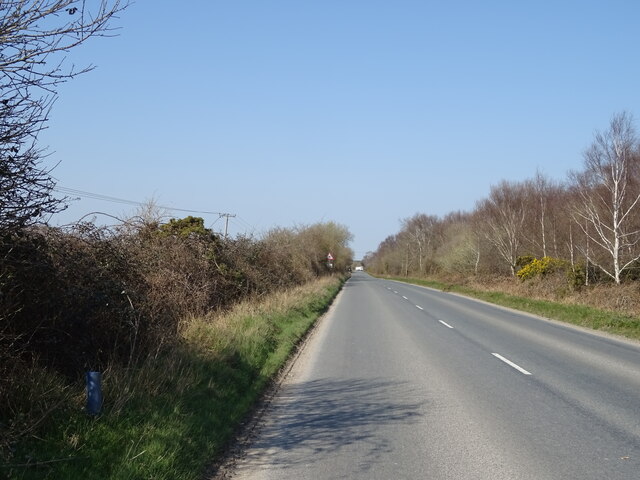
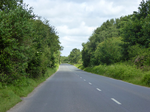
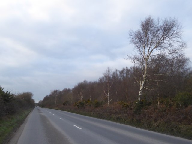
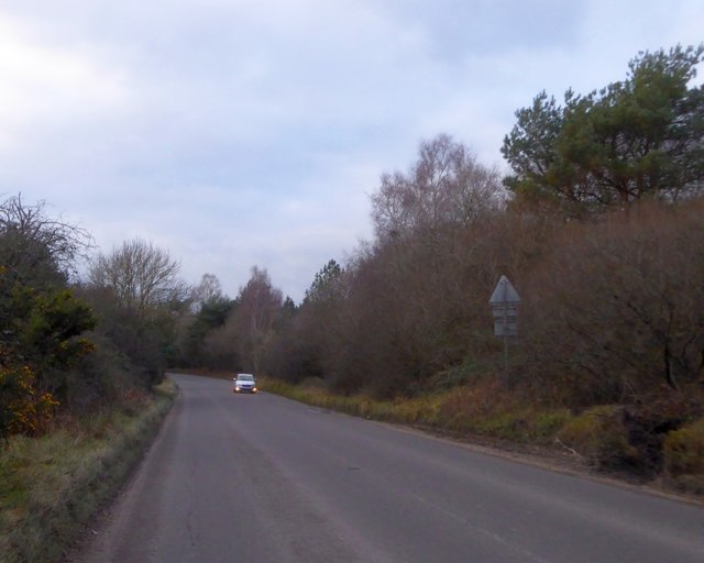
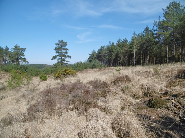
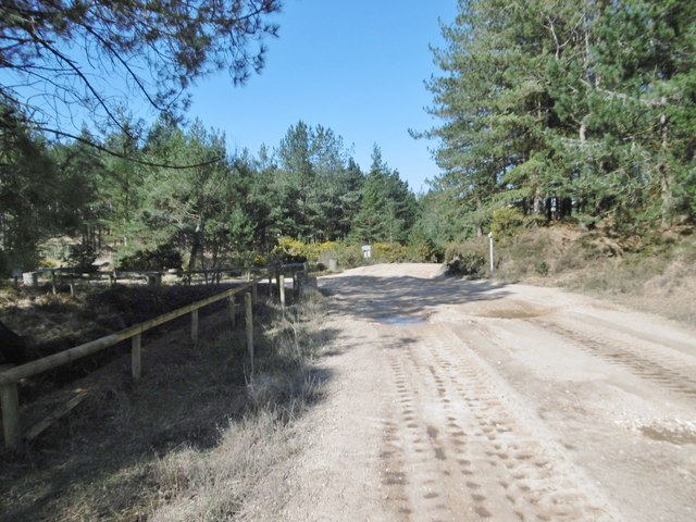
Stoke Heath is a picturesque rural area located in the county of Dorset, England. Situated on the southern edge of the Cranborne Chase and West Wiltshire Downs Area of Outstanding Natural Beauty, it offers breathtaking views of rolling hills, downs, and moorland. The area is renowned for its unspoiled natural beauty and diverse wildlife.
Covering an area of approximately 10 square miles, Stoke Heath is home to a small population of around 500 residents. The village itself is quaint and charming, with a scattering of traditional cottages and farmhouses. The local community is tight-knit and friendly, fostering a warm and welcoming atmosphere.
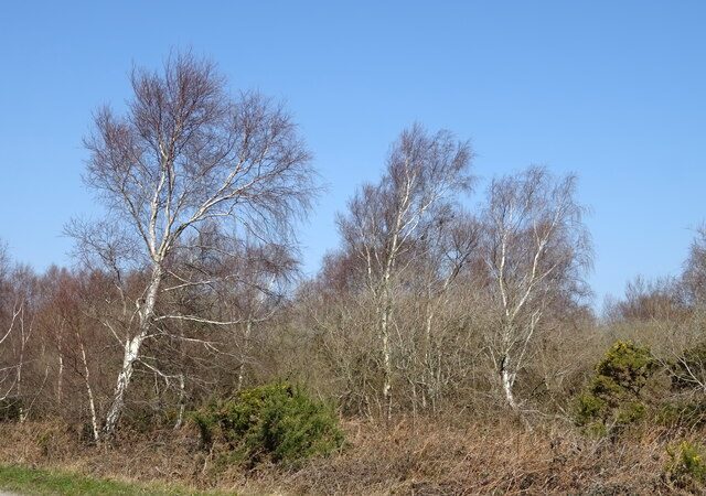
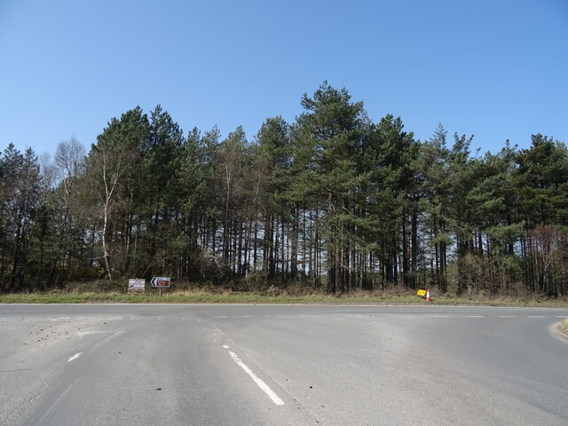
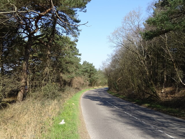
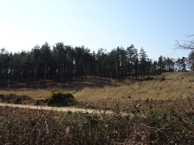
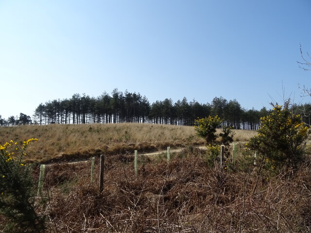
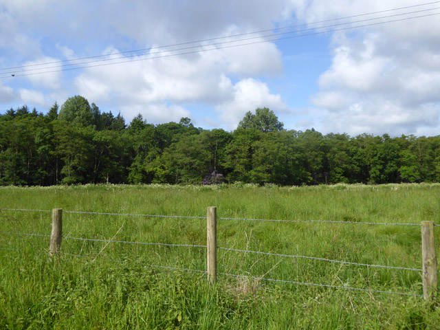
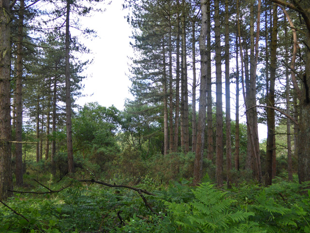
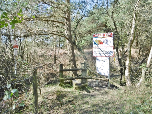
The landscape of Stoke Heath is predominantly characterized by open countryside, encompassing grassy downs and heathland. This vast expanse of natural habitat provides a sanctuary for a variety of wildlife, including rabbits, foxes, and a wide array of bird species. It is a popular destination for nature lovers and outdoor enthusiasts, offering numerous walking trails and opportunities for birdwatching.
Despite its rural nature, Stoke Heath is conveniently located near several larger towns and cities. The historic market town of Blandford Forum is just a short drive away, offering a range of amenities including shops, restaurants, and schools. The coastal town of Poole, with its beautiful beaches and bustling harbor, is also within easy reach.
In summary, Stoke Heath, Dorset is a tranquil and idyllic countryside retreat, offering stunning natural landscapes, a close-knit community, and easy access to nearby towns. It is a haven for nature lovers and those seeking a peaceful escape from the hustle and bustle of city life.
If you have any feedback on the listing, please let us know in the comments section below.
Stoke Heath Images
Images are sourced within 2km of 50.706387/-2.214864 or Grid Reference SY8489. Thanks to Geograph Open Source API. All images are credited.

Stoke Heath is located at Grid Ref: SY8489 (Lat: 50.706387, Lng: -2.214864)
Unitary Authority: Dorset
Police Authority: Dorset
What 3 Words
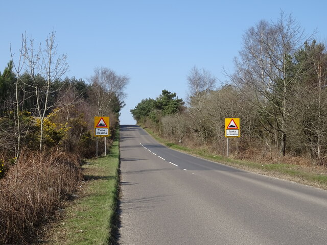
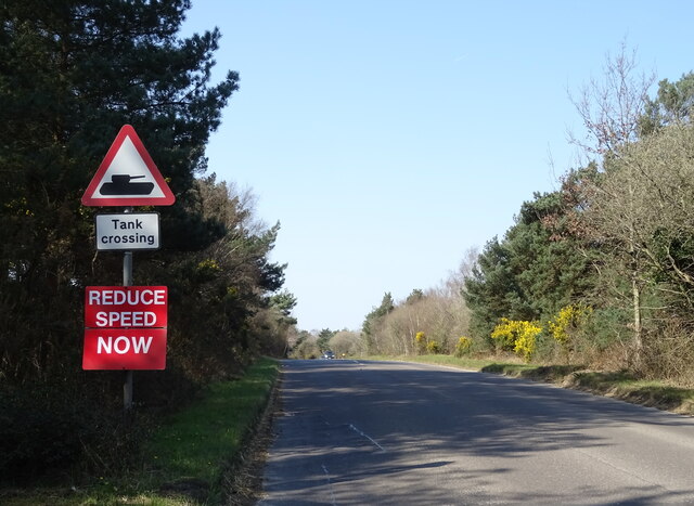
///modes.pouting.reinvest. Near Bovington Camp, Dorset
Nearby Locations
Related Wikis

Monkey World
The Monkey World Ape Rescue Centre is a 65-acre (26.3 ha) ape and monkey sanctuary and rescue centre near Wool, Dorset, England. == History == Set up in...
Winfrith Hundred
Winfrith Hundred was a hundred in the county of Dorset, England, containing the following parishes: Coombe Keynes East Lulworth East Stoke Moreton (part...

Bovington Camp
Bovington Camp () is a British Army military base in Dorset, England. Together with Lulworth Camp it forms part of Bovington Garrison. The garrison is...

TOG2
The TOG2, officially known as the Heavy Tank, TOG II, was a British super-heavy tank design produced during the early stages of World War II for a scenario...

The Tank Museum
The Tank Museum (previously The Bovington Tank Museum) is a collection of armoured fighting vehicles at Bovington Camp in Dorset, South West England. It...

Little Willie
Little Willie was a prototype in the development of the British Mark I tank. Constructed in the autumn of 1915 at the behest of the Landship Committee...

Woolbridge Manor House
Woolbridge Manor is a 17th-century manor house just outside the village of Wool, in Dorset, England. English Heritage have designated it a Grade II* listed...

Bindon Abbey
Bindon Abbey (Bindonium) was a Cistercian monastery, of which only ruins remain, on the River Frome about half a mile east of Wool in the Purbeck District...
Nearby Amenities
Located within 500m of 50.706387,-2.214864Have you been to Stoke Heath?
Leave your review of Stoke Heath below (or comments, questions and feedback).