Black Lands
Downs, Moorland in Staffordshire South Staffordshire
England
Black Lands
Black Lands is a region located in Staffordshire, England, known for its distinctive landscape characterized by downs and moorland. Situated within the stunning Staffordshire Moorlands, the area covers a vast expanse of approximately 100 square kilometers.
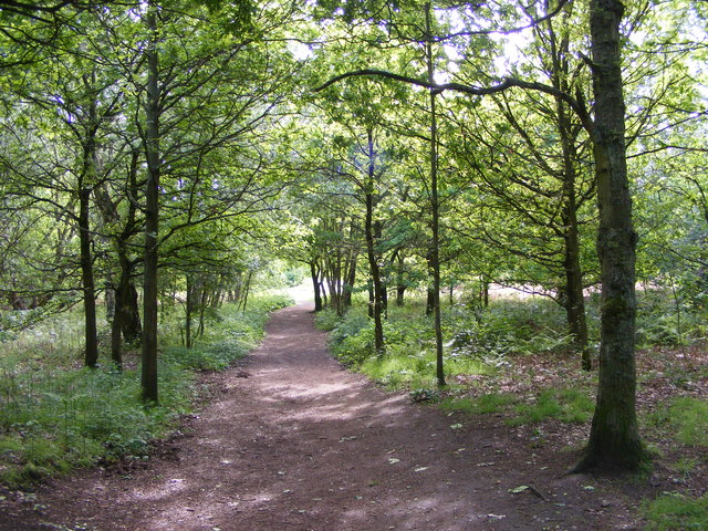
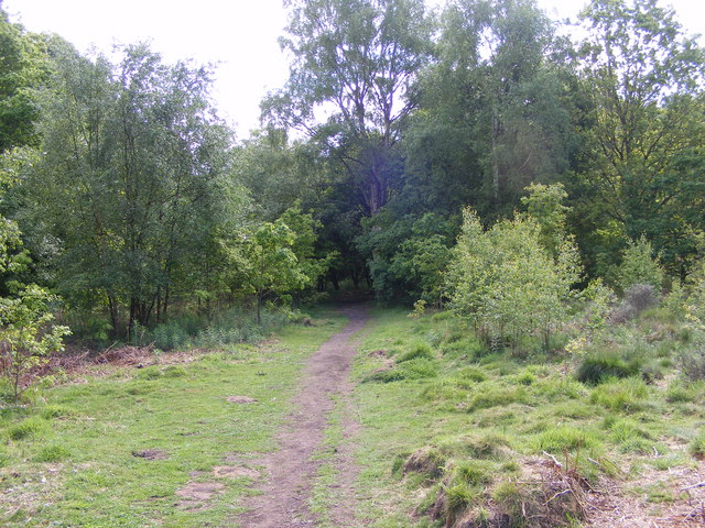
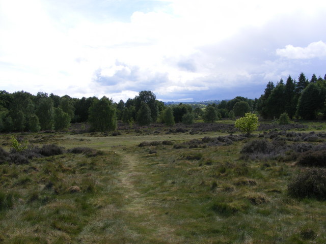
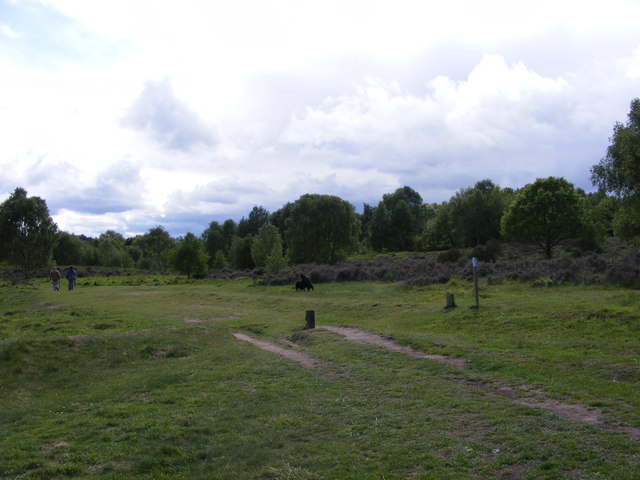
The Black Lands region features undulating terrain, with wide stretches of open grasslands and heather-covered moorland. The area is known for its rich biodiversity, supporting a diverse range of flora and fauna. Visitors to Black Lands can expect to encounter a variety of wildlife, including birds of prey, such as buzzards and kestrels, as well as grazing animals like sheep and cattle.
The region is a popular destination for outdoor enthusiasts and nature lovers. Its extensive network of walking trails and bridleways offers opportunities for hikers, cyclists, and horse riders to explore the picturesque countryside. The landscape offers breathtaking panoramic views, particularly from elevated points such as The Roaches, a prominent rocky outcrop that attracts climbers and walkers alike.
Black Lands also boasts a number of historic landmarks. The ruins of Lud's Church, a deep chasm with towering moss-covered walls, hold historical and mythical significance and attract curious visitors. Additionally, the region is home to several quaint villages, such as Upper Hulme and Meerbrook, where visitors can experience traditional English countryside charm.
Overall, Black Lands in Staffordshire offers a unique blend of natural beauty, diverse wildlife, and historical landmarks, making it a captivating destination for those seeking to immerse themselves in the enchanting Staffordshire Moorlands.
If you have any feedback on the listing, please let us know in the comments section below.
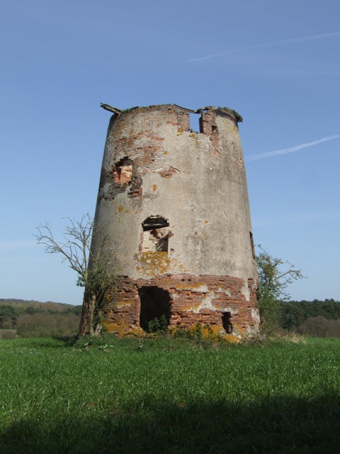
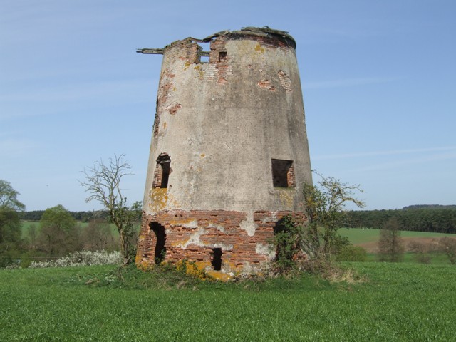
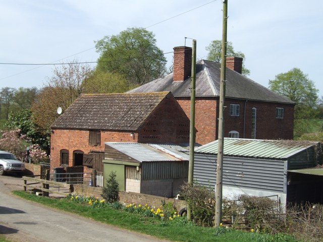
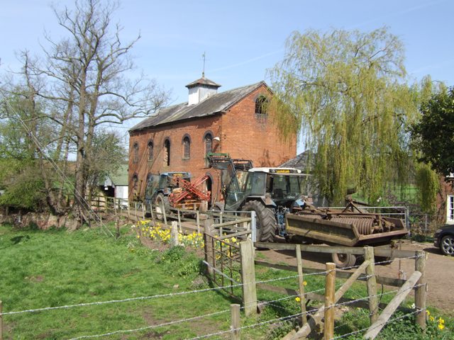
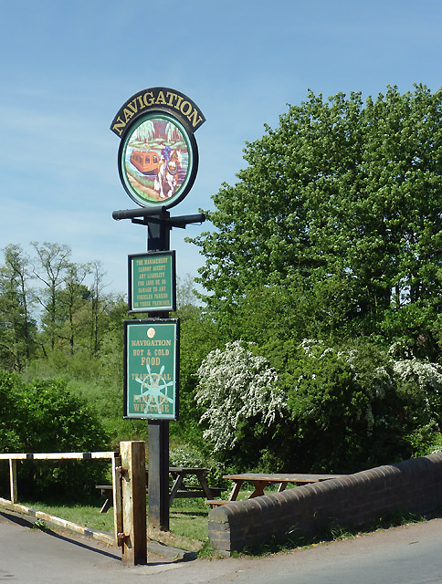
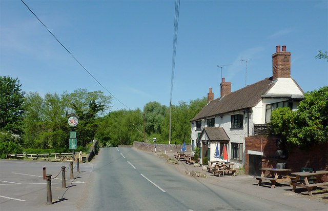
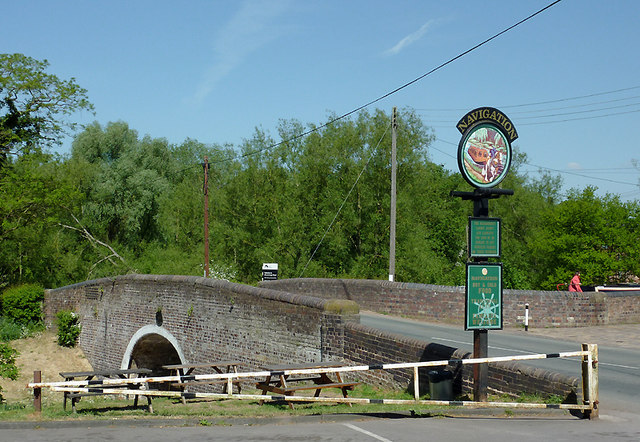
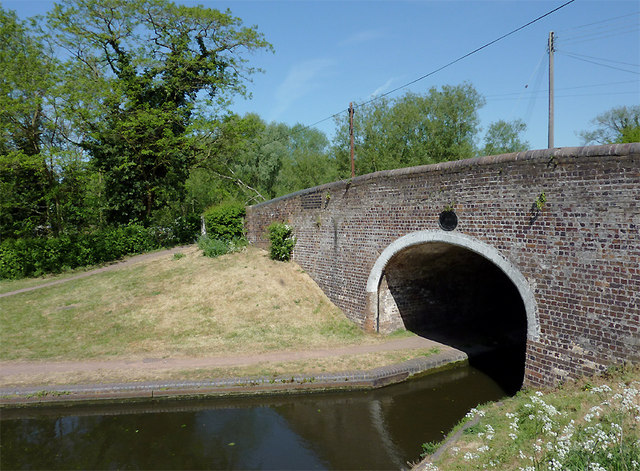
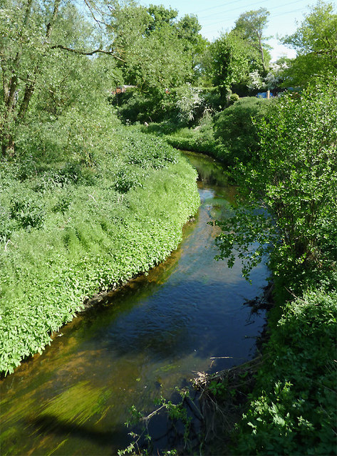
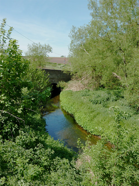
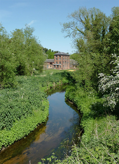
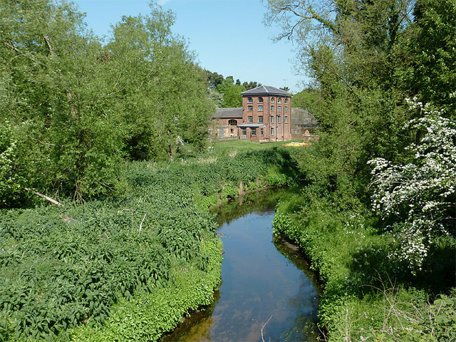
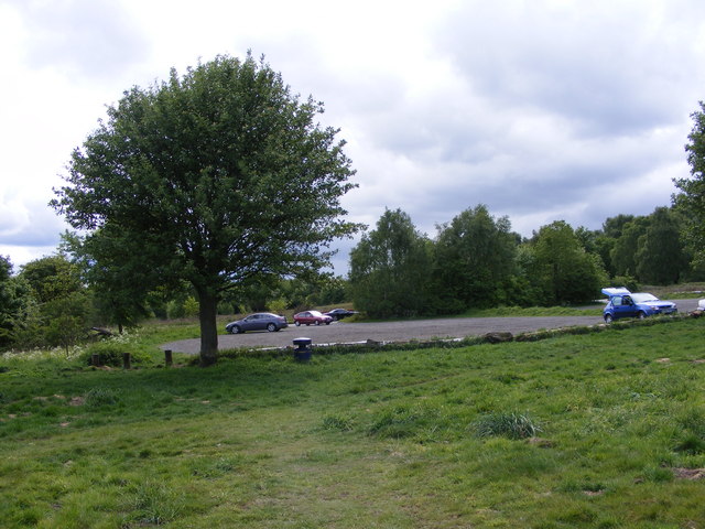
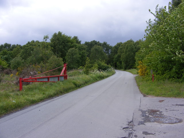
Black Lands Images
Images are sourced within 2km of 52.499101/-2.2307536 or Grid Reference SO8489. Thanks to Geograph Open Source API. All images are credited.
Black Lands is located at Grid Ref: SO8489 (Lat: 52.499101, Lng: -2.2307536)
Administrative County: Staffordshire
District: South Staffordshire
Police Authority: Staffordshire
What 3 Words
///business.rehearsed.lifestyle. Near Kingswinford, West Midlands
Nearby Locations
Related Wikis

Highgate Common
Highgate Common is a Staffordshire Wildlife Trust reserve containing a mix of heathland and woodland. It is about 129 hectares or 320 acres in size. The...

Greensforge
Greensforge is a scattered hamlet on the boundary of Kinver and Swindon parishes, in South Staffordshire, England. It is noted for its Roman associations...

Ashwood, Staffordshire
Ashwood is a small area of Staffordshire, England. It is situated in the South Staffordshire district, approximately two miles west of the West Midlands...

Swindon, Staffordshire
Swindon is a village and civil parish located in the West Midlands. The nearest major town is Dudley, approximately five miles eastwards. It stands halfway...

West Midlands (region)
The West Midlands is one of nine official regions of England at the first level of International Territorial Level for statistical purposes. It covers...
Wolverhampton Airport
Wolverhampton Halfpenny Green Airport (ICAO: EGBO), formerly Halfpenny Green Airport and Wolverhampton Business Airport, locally Bobbington Airport, is...

Enville, Staffordshire
Enville is a village and civil parish in rural Staffordshire, England, on the A458 road between Stourbridge and Bridgnorth. Enville is in the South Staffordshire...
Summerhill School, Kingswinford
Summerhill School is a mixed community secondary school located in Kingswinford, West Midlands, England. == History == The school was built by Brierley...
Nearby Amenities
Located within 500m of 52.499101,-2.2307536Have you been to Black Lands?
Leave your review of Black Lands below (or comments, questions and feedback).