Dodd Fell
Downs, Moorland in Yorkshire Richmondshire
England
Dodd Fell
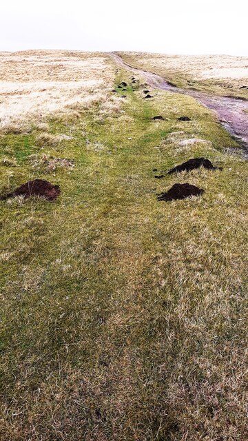
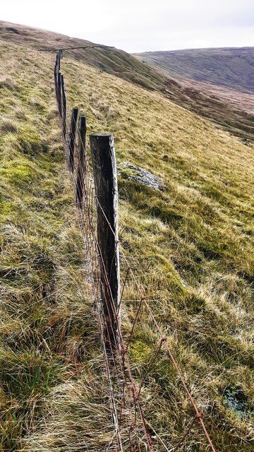
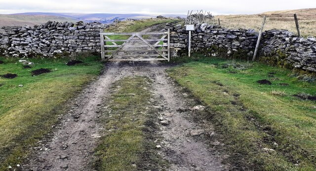
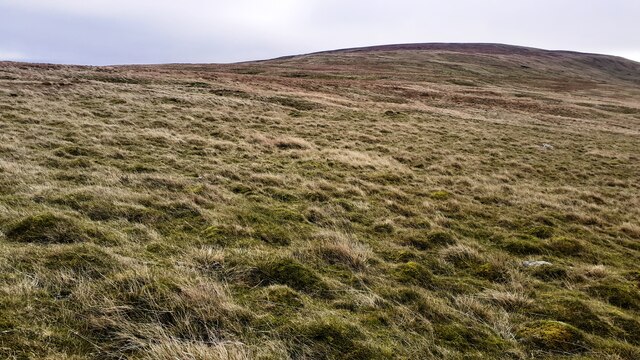
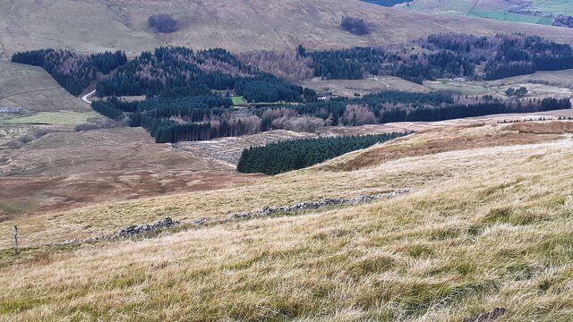
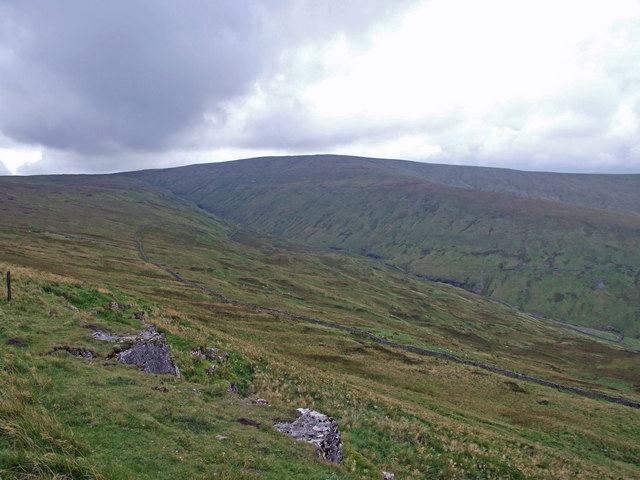
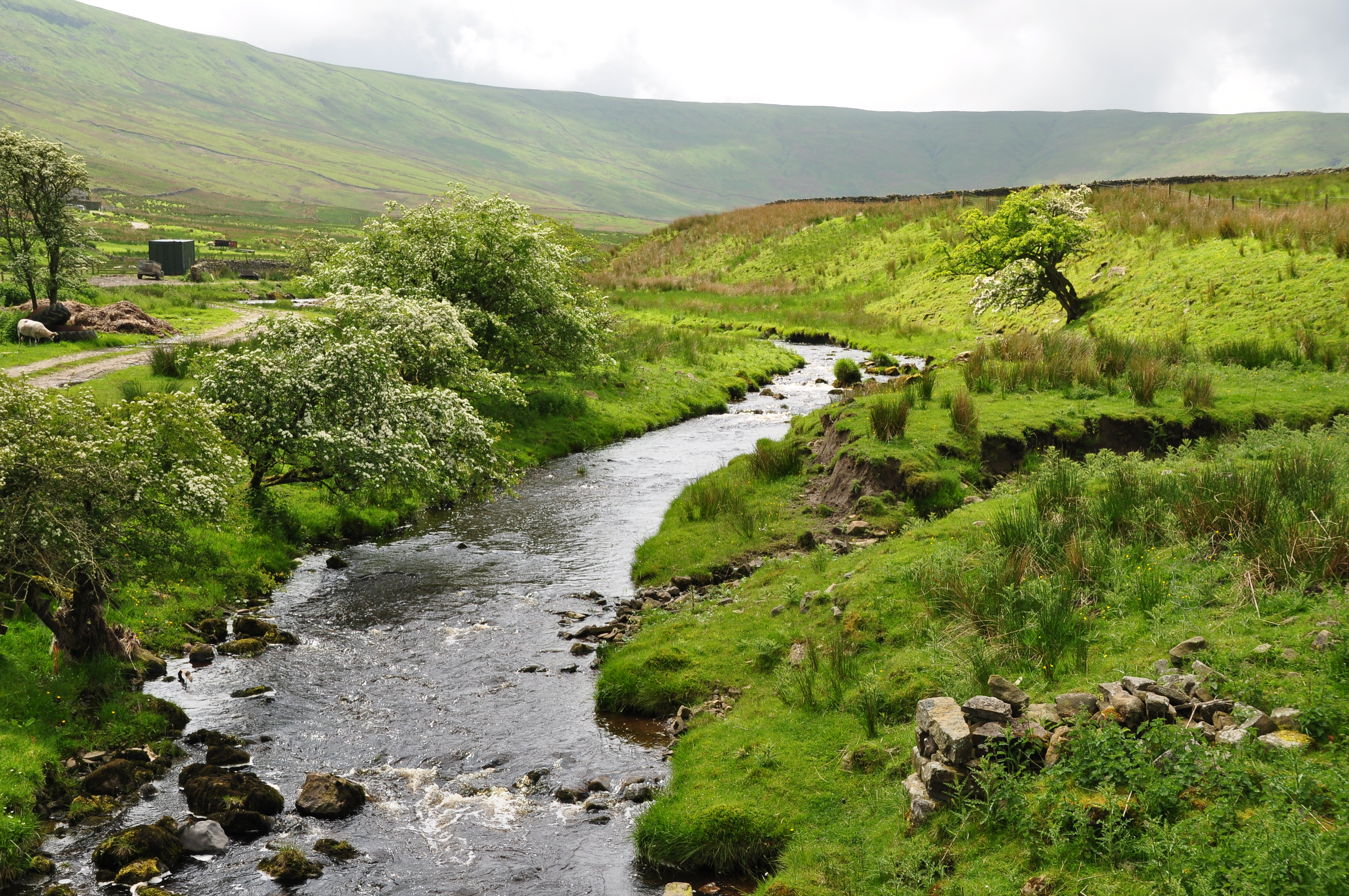
Dodd Fell is a captivating area located in the Yorkshire Dales, specifically in the county of North Yorkshire in England. It is situated amidst the picturesque Yorkshire Downs, surrounded by vast stretches of magnificent moorland. Dodd Fell is renowned for its breathtaking landscapes, making it a popular destination for nature enthusiasts and hikers.
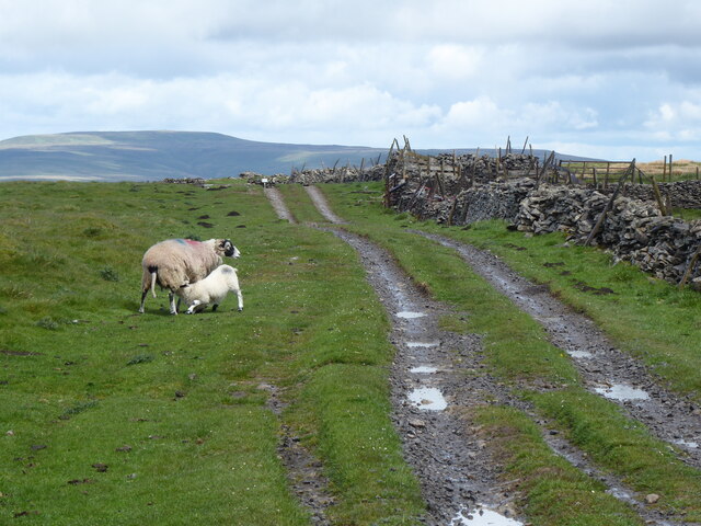
The area presents a diverse and rich ecosystem, offering a wide range of flora and fauna. It is home to various species of birds, including peregrine falcons, curlews, and red grouse, making it an ideal spot for birdwatchers. Additionally, the moorland is adorned with vibrant heather, creating a mesmerizing purple carpet during the summer months.
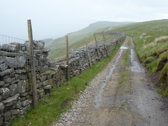
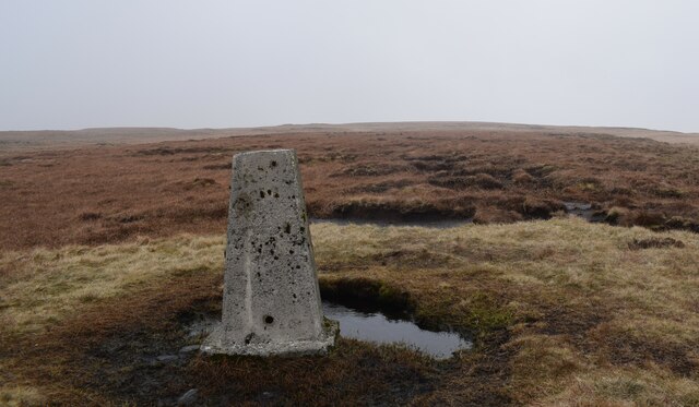
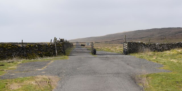
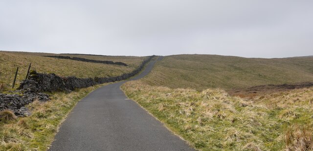
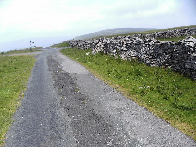
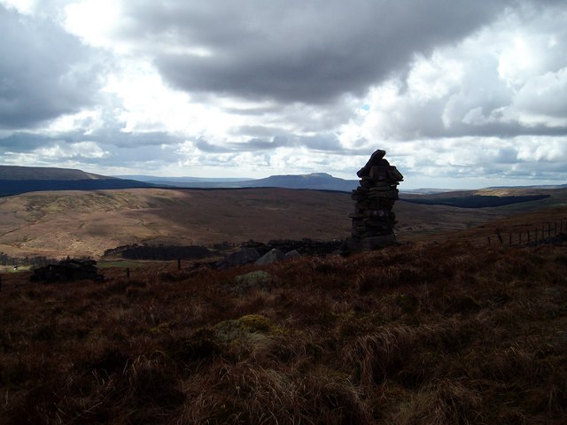
Dodd Fell boasts numerous walking trails, providing visitors with the opportunity to explore its enchanting scenery. The most prominent trail is the Dodd Fell Walk, a circular route that takes hikers through breathtaking landscapes, including rolling hills and valleys. Along the way, walkers can enjoy panoramic views of the surrounding countryside, with glimpses of the iconic Ribblehead Viaduct in the distance.
The area also embraces the historical significance of the region, with remnants of old mining activities still visible. These remnants serve as a reminder of the area's industrial past and provide an intriguing insight into the lives of the people who once inhabited this rugged terrain.
Overall, Dodd Fell offers a captivating blend of natural beauty, wildlife, and historical charm, making it a must-visit destination for those seeking an authentic Yorkshire Dales experience.
If you have any feedback on the listing, please let us know in the comments section below.
Dodd Fell Images
Images are sourced within 2km of 54.259861/-2.2405612 or Grid Reference SD8484. Thanks to Geograph Open Source API. All images are credited.


Dodd Fell is located at Grid Ref: SD8484 (Lat: 54.259861, Lng: -2.2405612)
Division: North Riding
Administrative County: North Yorkshire
District: Richmondshire
Police Authority: North Yorkshire
What 3 Words
///withdraws.avocado.bumps. Near Ingleton, North Yorkshire
Nearby Locations
Related Wikis
Dodd Fell Hill
Dodd Fell Hill is a hill in the Yorkshire Dales, in North Yorkshire, England. It is classed as a Marilyn (a hill with topographic prominence of at least...
Snaizeholme
Snaizeholme is a small side valley of Wensleydale in the Yorkshire Dales National Park (YDNP), North Yorkshire, England. The valley is noted for its red...

Yorkshire Dales National Park
The Yorkshire Dales National Park is a 2,178 km2 (841 sq mi) national park in England covering most of the Yorkshire Dales, with the notable exception...
Fleet Moss
Fleet Moss is a upland area separating Wharfedale from Wensleydale in North Yorkshire, England. The area is 1,850 ft (560 m) above sea level (although...

Wether Fell
Wether Fell (archaically Wetherfell), also known as Drumaldrace (the name of its summit), is a mountain in the Yorkshire Dales National Park, in North...
Oughtershaw
Oughtershaw is a hamlet in the Yorkshire Dales, North Yorkshire, England. It lies on a road it shares with other small villages; Deepdale, Yockenthwaite...

Newby Head
Newby Head, Newby Head Farm or Newby Head Inn is part of the Beresford Estate and was a popular drovers' inn in North Yorkshire, England. Now a farmhouse...
Gayle, North Yorkshire
Gayle is a hamlet 0.4-mile (0.64 km) south of Hawes in Wensleydale, North Yorkshire, England. It is noted for the beck that flows through it and the old...
Nearby Amenities
Located within 500m of 54.259861,-2.2405612Have you been to Dodd Fell?
Leave your review of Dodd Fell below (or comments, questions and feedback).