West Allotment
Downs, Moorland in Durham
England
West Allotment
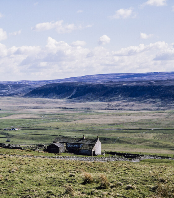
West Allotment is a small village located in the county of Durham, England. Situated on the northeast coast, it is part of the larger metropolitan borough of North Tyneside. The village is known for its picturesque landscapes, characterized by rolling downs and vast moorland.
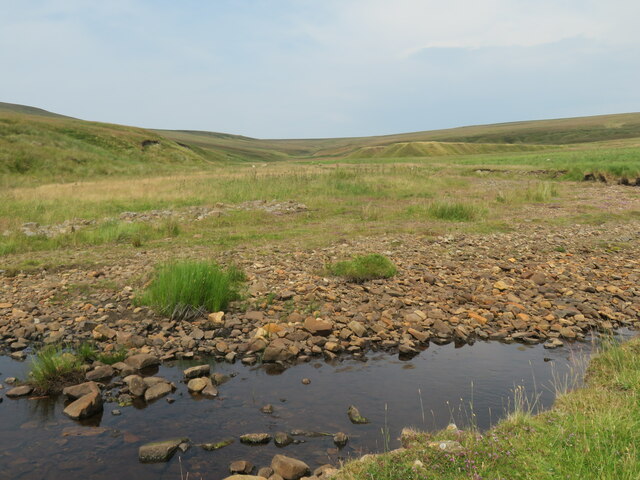
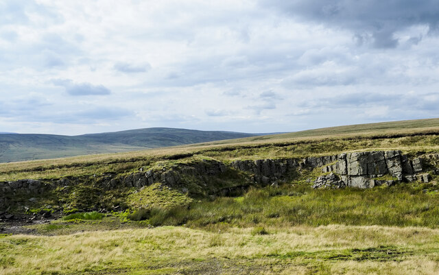
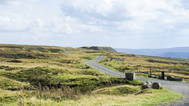
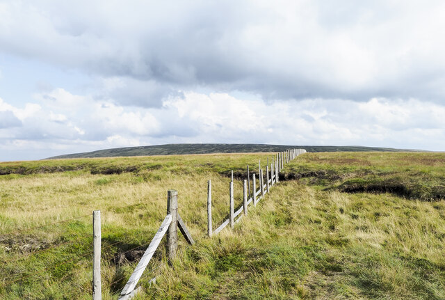
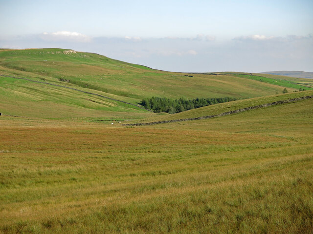
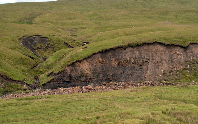
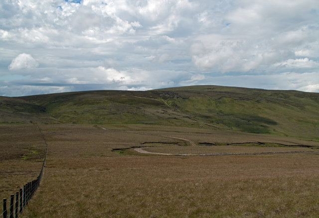
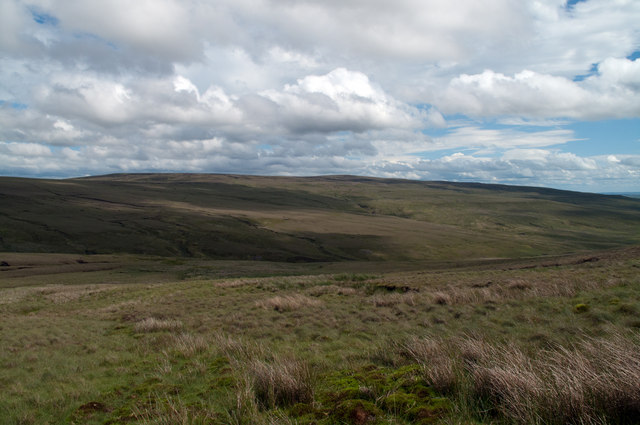
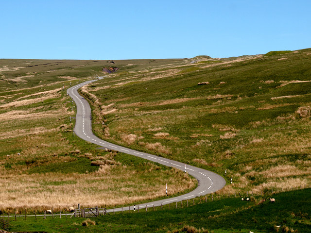
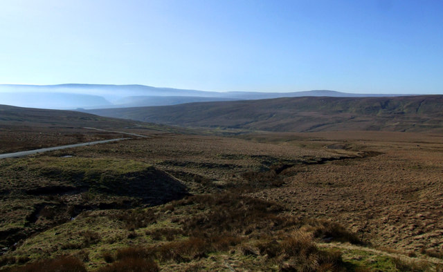
The downs of West Allotment offer stunning panoramic views of the surrounding countryside. These gently sloping hills are covered in lush greenery, providing a peaceful and idyllic setting for outdoor activities such as hiking and picnicking. The downs are also home to a variety of wildlife, including rabbits, birds, and occasionally, deer.
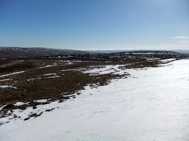
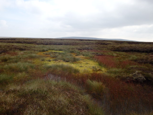
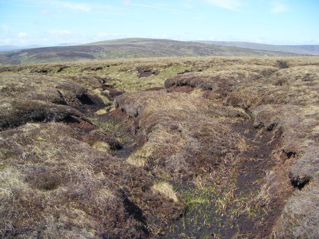
Adjacent to the downs, the moorland of West Allotment adds to the village's natural beauty. These expanses of open land are covered in heather and grasses, creating a striking contrast against the blue skies. The moorland provides a habitat for various plant and animal species, making it a popular spot for nature enthusiasts and birdwatchers.
West Allotment is not only known for its natural landscapes but also for its close-knit community. The village has a small population, with residents often engaging in local events and activities. The village is served by a primary school, providing education for the younger generations.
Overall, West Allotment offers a tranquil and scenic retreat, allowing visitors and residents to escape the hustle and bustle of everyday life and immerse themselves in nature.
If you have any feedback on the listing, please let us know in the comments section below.
West Allotment Images
Images are sourced within 2km of 54.699818/-2.2447115 or Grid Reference NY8433. Thanks to Geograph Open Source API. All images are credited.

![In Upper Teesdale below Grasshill Common View SW from B6277 Alston - Middleton-in-Teesdale road, across to West Common (Herdship Fell, 2,070 ft.), with Lune Forest (Mickle Fell, 2,591 ft.) behind on left. [Precise location may be out by half a mile?].](https://s0.geograph.org.uk/geophotos/03/38/90/3389092_06d609f2.jpg)
West Allotment is located at Grid Ref: NY8433 (Lat: 54.699818, Lng: -2.2447115)
Unitary Authority: County Durham
Police Authority: Durham
What 3 Words
///quick.earpiece.period. Near Holwick, Co. Durham
Nearby Locations
Related Wikis

Harthope Moss
Harthope Moss, also known as Chapel Fell (elevation 627 m; 2,057 ft) is a mountain pass in the English Pennines. The pass divides Weardale to the north...

Upper Teesdale
Upper Teesdale is a Site of Special Scientific Interest (SSSI) in the west County Durham, England. It encompasses an extensive upland area that includes...

Harwood, County Durham
Harwood is a small valley and village near the head of Teesdale. Harwood Beck is a tributary of the River Tees in County Durham which forms a short valley...

Forest and Frith
Forest and Frith is a civil parish in the County Durham unitary authority, in the ceremonial county of Durham, England. In the 2011 census it had a population...
Langdon Beck
Langdon Beck is a village in County Durham, England. It is situated in upper Teesdale, between Forest-in-Teesdale and Harwood, halfway between Penrith...
Far High House Meadows
Far High House Meadows is a Site of Special Scientific Interest in Upper Weardale in west County Durham, England. It consists of three fields, located...
Forest-in-Teesdale
Forest-in-Teesdale is a village in County Durham, England. It is situated in upper Teesdale, on the north side of the Tees between Newbiggin and Langdon...
Burnhope Reservoir railway
The Burnhope Reservoir railway was an industrial narrow gauge railway built to serve the construction of Burnhope Reservoir near Weardale. An extensive...
Nearby Amenities
Located within 500m of 54.699818,-2.2447115Have you been to West Allotment?
Leave your review of West Allotment below (or comments, questions and feedback).