Great Catrigg Pasture
Downs, Moorland in Yorkshire Craven
England
Great Catrigg Pasture
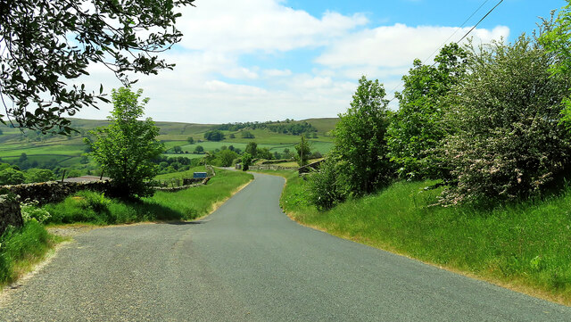
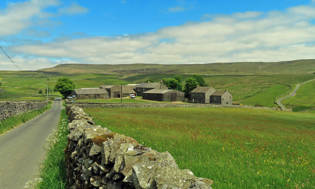
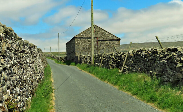
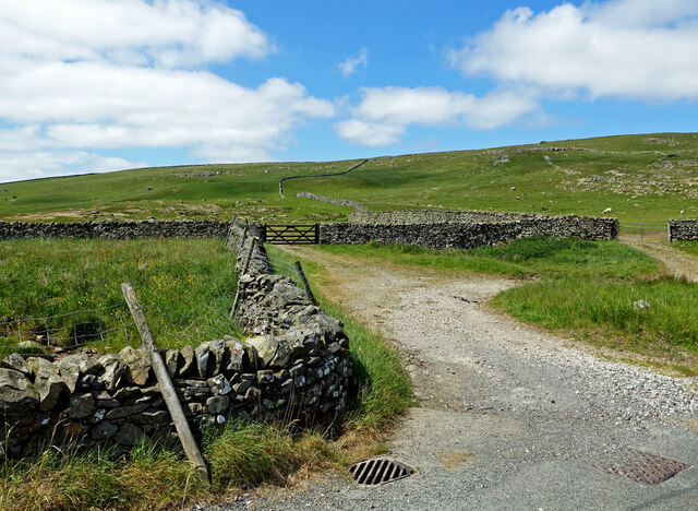
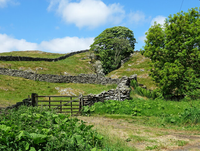
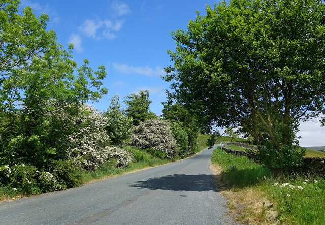
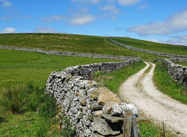
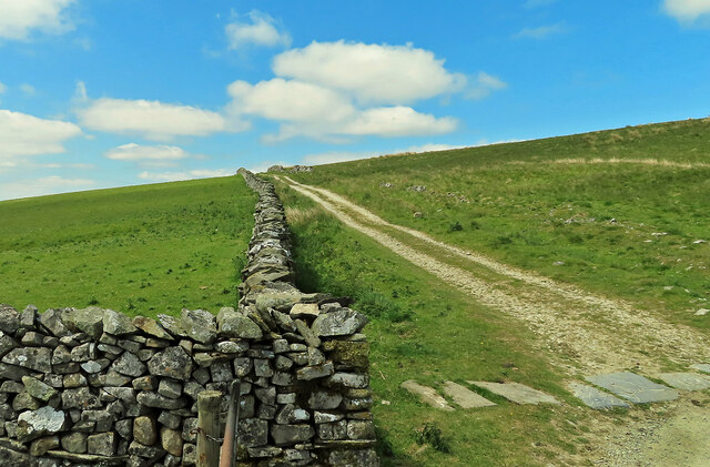
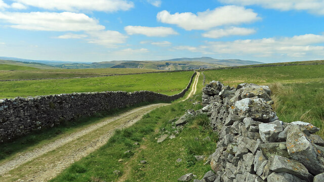
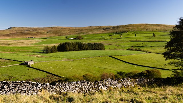
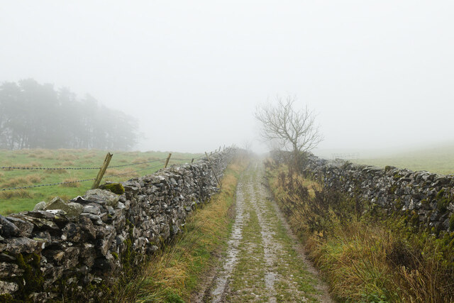
Great Catrigg Pasture is a picturesque area located in Yorkshire, England. Nestled amidst the stunning Yorkshire Downs and Moorland, this vast expanse of land spans over several acres, offering visitors a breathtaking and tranquil experience.
The pasture is renowned for its untouched natural beauty and diverse wildlife. Lush green meadows stretch as far as the eye can see, dotted with vibrant wildflowers during the spring and summer months. Visitors can witness a variety of flora and fauna, including numerous species of birds, butterflies, and small mammals that thrive in this rich ecosystem.
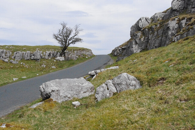
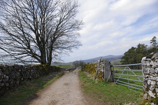
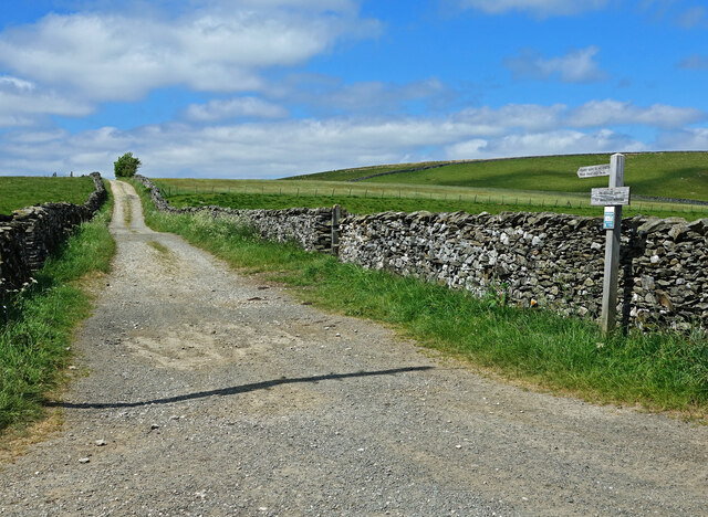
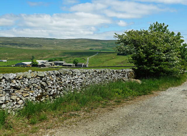
The rolling hills and gentle slopes of Great Catrigg Pasture provide an ideal terrain for leisurely walks and hikes, attracting outdoor enthusiasts and nature lovers alike. The panoramic views from the pasture are truly awe-inspiring, offering glimpses of the surrounding moorland, valleys, and distant hills.
The area is also home to a number of historic landmarks, such as ancient stone circles and burial mounds that date back centuries. These remnants of the past add a touch of mystique and intrigue to the already captivating landscape.
For those seeking a peaceful escape from the hustle and bustle of city life, Great Catrigg Pasture offers a serene retreat. The vastness of the pasture and its unspoiled beauty create a sense of tranquility and harmony with nature that is truly unmatched. Whether it's a leisurely stroll, a picnic in the meadows, or simply immersing oneself in the peaceful surroundings, this hidden gem in Yorkshire promises an unforgettable experience.
If you have any feedback on the listing, please let us know in the comments section below.
Great Catrigg Pasture Images
Images are sourced within 2km of 54.106445/-2.2412467 or Grid Reference SD8467. Thanks to Geograph Open Source API. All images are credited.
![Catrigg Force Stainforth Beck falls into a wooded ravine.
[Image formed from 2 photos merged together.]](https://s2.geograph.org.uk/geophotos/07/14/80/7148054_c49cfc5a.jpg)
Great Catrigg Pasture is located at Grid Ref: SD8467 (Lat: 54.106445, Lng: -2.2412467)
Division: West Riding
Administrative County: North Yorkshire
District: Craven
Police Authority: North Yorkshire
What 3 Words
///screeches.episode.loudness. Near Settle, North Yorkshire
Nearby Locations
Related Wikis
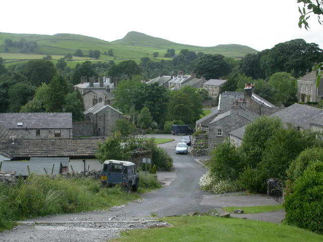
Stainforth, North Yorkshire
Stainforth is a village and civil parish in the Craven district of North Yorkshire, England. It is situated north of Settle. Nearby there is a waterfall...

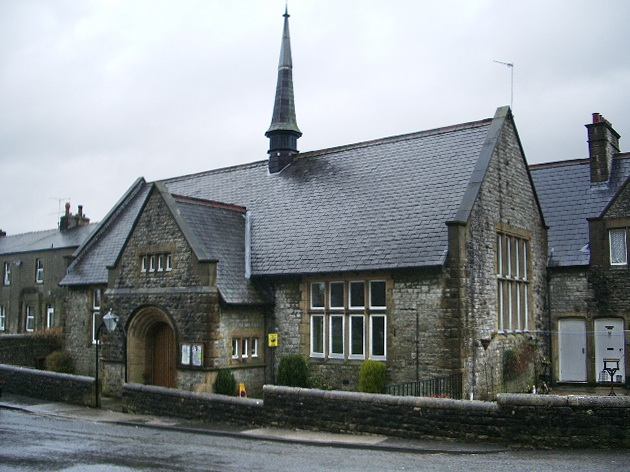
St Peter's Church, Stainforth
St Peter's Church is in the village of Stainforth, North Yorkshire, England. It is an active Anglican parish church in the deanery of Bowland, the archdeaconry...

Stainforth Force
Stainforth Force (also known as Stainforth Foss and Ribble Falls), is a 2.5-metre (8 ft 2 in) high cascade waterfall on the River Ribble at Stainforth...

Stainforth Bridge
Stainforth Bridge, (also known as Stainforth packhorse bridge and Knight Stainforth bridge) is a 17th century, arched packhorse bridge over the River Ribble...

Silverdale, North Yorkshire
Silverdale is a minor dale in the Yorkshire Dales in North Yorkshire, England. It is a side dale of Ribblesdale, and lies west of Fountains Fell. The dale...
Langcliffe
Langcliffe is a village and civil parish in the Craven district of North Yorkshire, in England. It lies to the north of Settle and east of Giggleswick...
Stackhouse, North Yorkshire
Stackhouse (sometimes written as Stack House), is a hamlet near to Giggleswick on the western bank of the River Ribble in North Yorkshire, England. �...

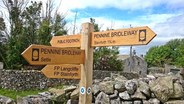
Pennine Cycleway
The Pennine Cycleway is a Sustrans-sponsored route in the Pennines range in northern England, an area often called the "backbone of England". The route...
Nearby Amenities
Located within 500m of 54.106445,-2.2412467Have you been to Great Catrigg Pasture?
Leave your review of Great Catrigg Pasture below (or comments, questions and feedback).