Carholme Moor
Downs, Moorland in Yorkshire Ribble Valley
England
Carholme Moor
Carholme Moor, located in Yorkshire, England, is a picturesque area renowned for its stunning downs and moorland landscapes. Covering approximately 300 acres, it offers visitors a diverse range of natural beauty and recreational opportunities.
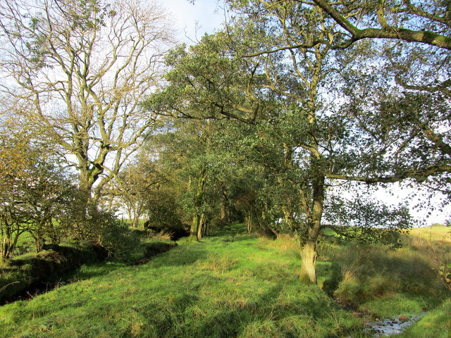
The moorland of Carholme Moor is characterized by vast expanses of open grasslands, dotted with heather and gorse bushes. This unique habitat supports a variety of flora and fauna, including species such as skylarks, curlews, and adders. The moorland is also home to several rare plants, making it of great ecological importance.
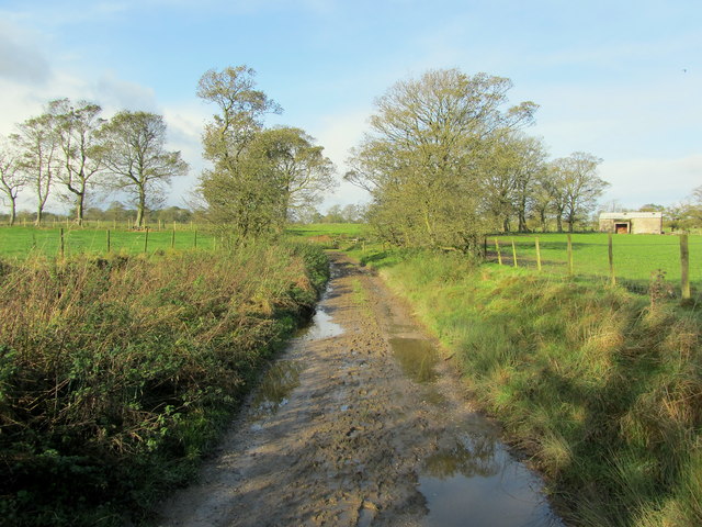
The downs of Carholme Moor provide visitors with breathtaking panoramic views of the surrounding countryside. Rolling hills and valleys, covered in a patchwork of vibrant green fields, create a picturesque backdrop for outdoor enthusiasts and nature lovers. The downs are ideal for walking, hiking, and cycling, with numerous trails and paths crisscrossing the area.
Carholme Moor is also steeped in history, with evidence of human habitation dating back thousands of years. Archaeological remains, including burial mounds and stone circles, offer insights into the area's ancient past. Additionally, the moorland was once utilized for peat extraction, providing fuel for local communities.
Today, Carholme Moor continues to be cherished for its natural beauty and tranquility. It attracts visitors from near and far, seeking to immerse themselves in the stunning landscapes, explore the trails, or simply relax in the peaceful surroundings. Whether it's for recreational activities, nature observation, or historical interest, Carholme Moor offers a truly enriching experience for all who visit.
If you have any feedback on the listing, please let us know in the comments section below.
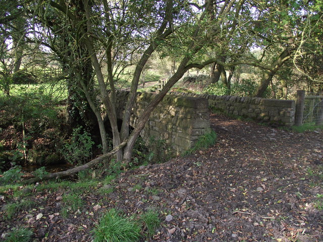
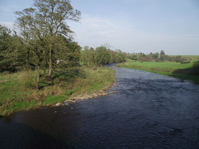
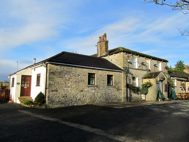
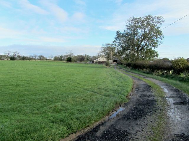
Carholme Moor Images
Images are sourced within 2km of 53.974745/-2.2605939 or Grid Reference SD8353. Thanks to Geograph Open Source API. All images are credited.
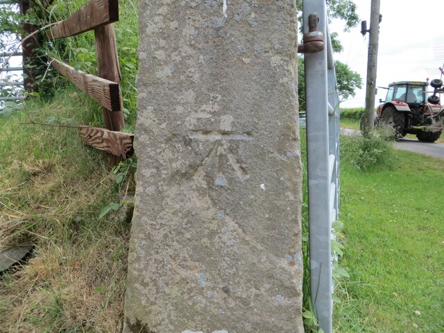
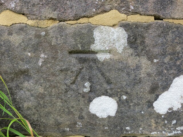
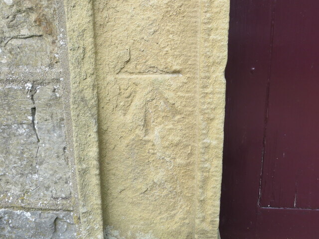
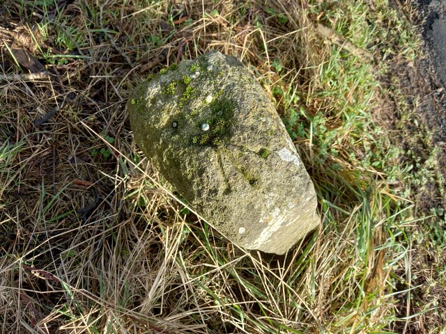
![Ordnance Survey Cut Mark with Rivet This mark and rivet can be found on the top of a boundary stone at Carr Moor crossroads.
The benchmark has a recorded height of 165.7167 metres above sea level.
For more detail see : <span class="nowrap"><a title="https://www.bench-marks.org.uk/bm124037" rel="nofollow ugc noopener" href="https://www.bench-marks.org.uk/bm124037">Link</a><img style="margin-left:2px;" alt="External link" title="External link - shift click to open in new window" src="https://s1.geograph.org.uk/img/external.png" width="10" height="10"/></span>
[Since the earlier picture <a title="https://www.geograph.org.uk/photo/6038091" href="https://www.geograph.org.uk/photo/6038091">Link</a> the boundary stone seems to have been involved in a RTA and is now leaning at a 45 degree angle]](https://s3.geograph.org.uk/geophotos/06/91/92/6919283_f9856956.jpg)
Carholme Moor is located at Grid Ref: SD8353 (Lat: 53.974745, Lng: -2.2605939)
Division: West Riding
Administrative County: Lancashire
District: Ribble Valley
Police Authority: Lancashire
What 3 Words
///phantom.acclaimed.slicer. Near Hellifield, North Yorkshire
Nearby Locations
Related Wikis

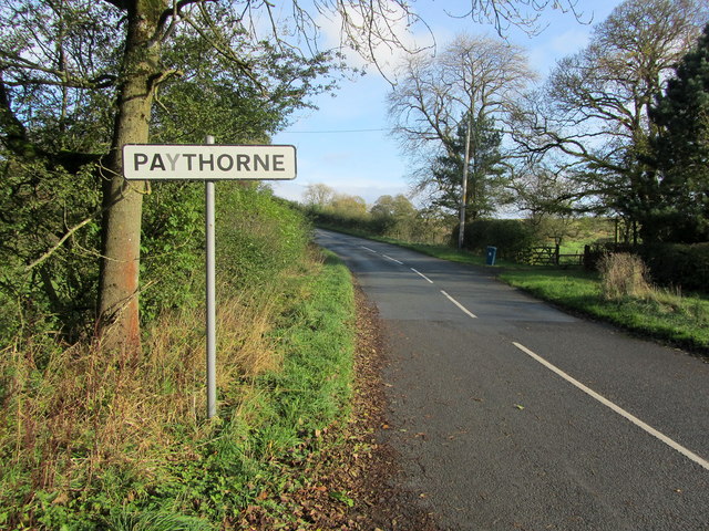
Paythorne
Paythorne is a small village and civil parish in Ribble Valley, Lancashire, England. It is situated alongside the River Ribble, north-east of Clitheroe...

Halton West
Halton West is a village and civil parish in the Craven district of North Yorkshire, England. North Yorkshire County Council estimated the population in...

Newsholme railway station
Newsholme railway station was a railway station that served the small village of Newsholme in Lancashire. It was built by the Lancashire and Yorkshire...

Newsholme, Lancashire
Newsholme is a small village and civil parish in the Ribble Valley, Lancashire, England, but lies within the historic West Riding of Yorkshire. According...

Nappa, North Yorkshire
Nappa is a hamlet in the civil parish of Hellifield, in North Yorkshire, England. It is on the A682 road and 6 miles (9.7 km) north-west of Barnoldswick...

Swinden
Swinden is a village in the civil parish of Hellifield, in North Yorkshire, England. It is near Halton West and Nappa and about 7 miles north of Barnoldswick...

Stock Beck
Stock Beck is a minor river in the West Craven area of Pendle, Lancashire (formerly in Yorkshire). It is 8.25 miles (13.27 km) long and has a catchment...

Gisburne Park
Gisburne Park is an 18th-century country house and associated park in Gisburn, Lancashire, England, in the Ribble Valley some 6 miles (10 km) north-east...
Nearby Amenities
Located within 500m of 53.974745,-2.2605939Have you been to Carholme Moor?
Leave your review of Carholme Moor below (or comments, questions and feedback).