The Lawn

Downs, Moorland in Wiltshire

England

The Lawn

A36 at the bottom of Black Dog Hill Seen from the lay-by to the south of the road.
A36 at the bottom of Black Dog Hill Credit: David Martin

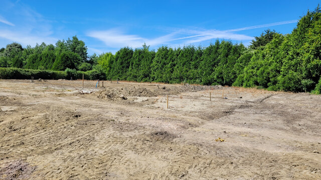
The Lawn, Wiltshire, situated in the southwestern part of England, is a picturesque landscape that encompasses both downs and moorland. It is a region of outstanding natural beauty, known for its rolling hills, open grasslands, and diverse wildlife.

The downs in The Lawn are characterized by their gently sloping hills, covered in lush green grass. These hills offer breathtaking panoramic views of the surrounding countryside, with patches of vibrant wildflowers dotting the landscape. The area is perfect for outdoor enthusiasts, providing ample opportunities for activities such as hiking, cycling, and horseback riding.

In contrast, the moorland in The Lawn presents a different kind of beauty. It is characterized by its vast expanses of open, rugged terrain, covered in heather and gorse. The moorland is home to a variety of plant species, including bilberry and cotton grass, creating a vibrant and colorful landscape. The region is also scattered with ancient burial sites, standing stones, and remnants of prehistoric settlements, adding a sense of mystery and history to the area.

The wildlife in The Lawn is abundant and diverse. Visitors may encounter various bird species, including skylarks and kestrels, soaring through the sky. The downs and moorland are also home to mammals such as rabbits, foxes, and deer, which can often be seen grazing or darting through the landscape.

Overall, The Lawn, Wiltshire, with its combination of downs and moorland, offers a stunning natural setting that is a haven for nature lovers and a place of exploration for those seeking to connect with the beauty of the English countryside.

If you have any feedback on the listing, please let us know in the comments section below.
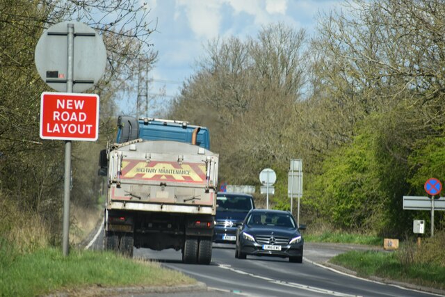
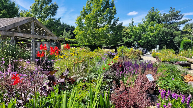
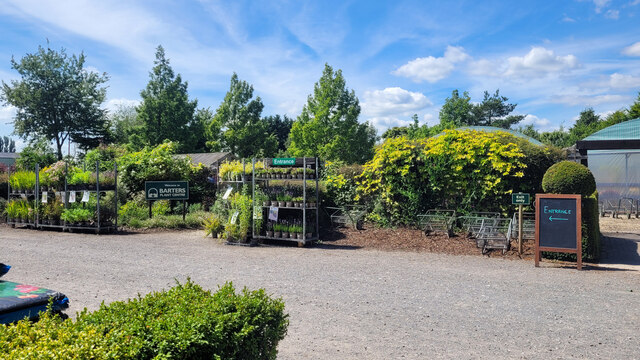
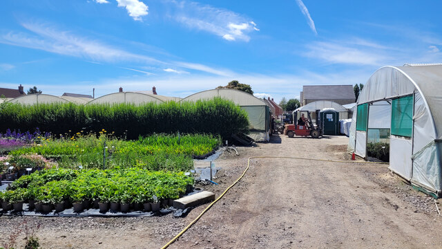
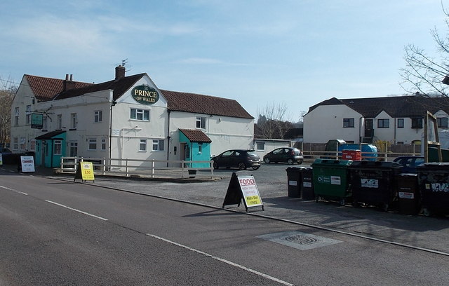
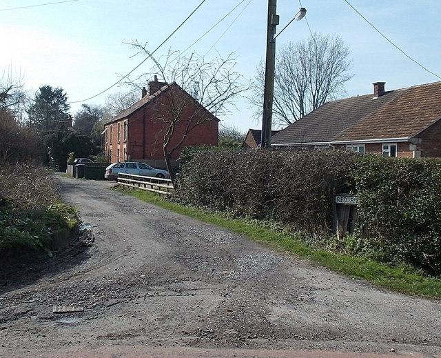
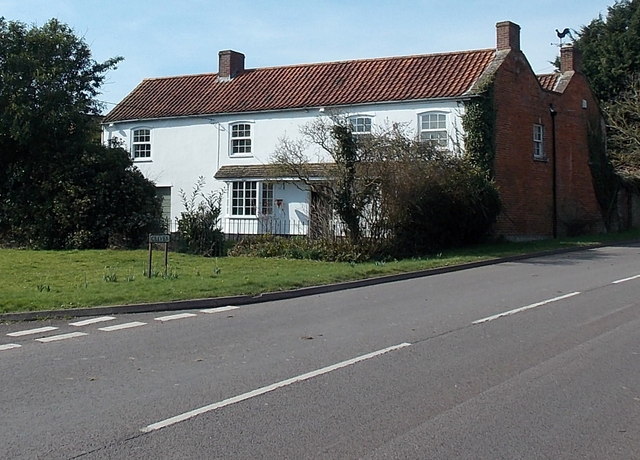
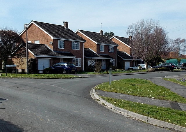
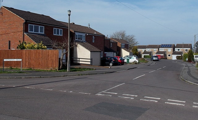
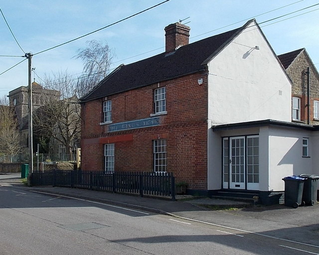
The Lawn Images

Images are sourced within 2km of 51.244175/-2.2451988 or Grid Reference ST8249. Thanks to Geograph Open Source API. All images are credited.

A36 at the bottom of Black Dog Hill Seen from the lay-by to the south of the road.
A36 at the bottom of Black Dog Hill
Seen from the lay-by to the south of the road.
Barters Plant Centre Very colourful stock in early July 2022.
Barters Plant Centre
Very colourful stock in early July 2022.
Barter's Plant Centre entrance An inauspicious entrance to a horticultural emporium.
Barter's Plant Centre entrance
An inauspicious entrance to a horticultural emporium.
Barter's Farm Nurseries Some land has been given up for housing beyond these polytunnels.
Barter's Farm Nurseries
Some land has been given up for housing beyond these polytunnels.
Development area at Barter's Farm Nurseries An area being prepared for a new polytunnel.
Development area at Barter's Farm Nurseries
An area being prepared for a new polytunnel.
A36 towards Bath
A36 towards Bath
A36 towards Bath
A36 towards Bath
A36 at Dead Maids Junction A junction with the A3098. These days the crossing is grade separated, the A3098 passing over the bridge ahead, and with widely separated connecting slip roads. The slip for the northbound A36 is just behind the viewpoint, and uses the old road alignment, meeting the A3098 at the original Dead Maids Crossroads. A late 17th century farmhouse called Summerstead is there, it was originally called Dead Maids. It is not clear whether the crossroads or the farm were so named first. The most popular story accounting for the name involves three deaths, but two were men, only one maid, so that seems unsatisfactory.
A36 at Dead Maids Junction
A junction with the A3098. These days the crossing is grade separated, the A3098 passing over the bridge ahead, and with widely separated connecting slip roads. The slip for the northbound A36 is just behind the viewpoint, and uses the old road alignment, meeting the A3098 at the original Dead Maids Crossroads. A late 17th century farmhouse called Summerstead is there, it was originally called Dead Maids. It is not clear whether the crossroads or the farm were so named first. The most popular story accounting for the name involves three deaths, but two were men, only one maid, so that seems unsatisfactory.
A36 towards Bath
A36 towards Bath
Western boundary of Dilton Marsh The national speed limit along the B3099 reduces to 30mph.
Western boundary of Dilton Marsh
The national speed limit along the B3099 reduces to 30mph.
Crowning Glory in Dilton Marsh Hairdressers at 81A High Street, opposite Holy Trinity Church.
Crowning Glory in Dilton Marsh
Hairdressers at 81A High Street, opposite Holy Trinity Church.
Oceans in Dilton Marsh Oceans is a High Street traditional fish & chips shop, behind a bus shelter and phonebox.
Oceans in Dilton Marsh
Oceans is a High Street traditional fish & chips shop, behind a bus shelter and phonebox.
The Prince of Wales, Dilton Marsh Village pub on the south side of the B3099 High Street. There is a large recycling area on the right.
The Prince of Wales, Dilton Marsh
Village pub on the south side of the B3099 High Street. There is a large recycling area on the right.
Northern end of Red Pit, Dilton Marsh Viewed from the edge of the B3099 Clivey looking along Red Pit towards Stormore.
Northern end of Red Pit, Dilton Marsh
Viewed from the edge of the B3099 Clivey looking along Red Pit towards Stormore.
House on the corner of Clivey and Stormore, Dilton Marsh The junction with Stormore on the left is the point where the B3099 High Street behind the camera become the B3099 Clivey ahead. A Clivey name sign is on the grass in the foreground.
House on the corner of Clivey and Stormore, Dilton Marsh
The junction with Stormore on the left is the point where the B3099 High Street behind the camera become the B3099 Clivey ahead. A Clivey name sign is on the grass in the foreground.
Greenacres, Dilton Marsh Houses on the west side of a cul-de-sac, viewed across Stormore.
Greenacres, Dilton Marsh
Houses on the west side of a cul-de-sac, viewed across Stormore.
Shepherds Mead, Dilton Marsh Shepherds Mead is a long cul-de-sac located between the B3099 High Street and Dilton Marsh Farm.
Shepherds Mead, Dilton Marsh
Shepherds Mead is a long cul-de-sac located between the B3099 High Street and Dilton Marsh Farm.
Former Kings Arms pub, Dilton Marsh Long since converted to residential use, the former pub is on the corner of High Street and School Lane. A faint remnant of THE KINGS ARMS name remains between the upper and lower windows.
Former Kings Arms pub, Dilton Marsh
Long since converted to residential use, the former pub is on the corner of High Street and School Lane. A faint remnant of THE KINGS ARMS name remains between the upper and lower windows.
Show me another place!

The Lawn is located at Grid Ref: ST8249 (Lat: 51.244175, Lng: -2.2451988)

Unitary Authority: Wiltshire

Police Authority: Wiltshire

What 3 Words

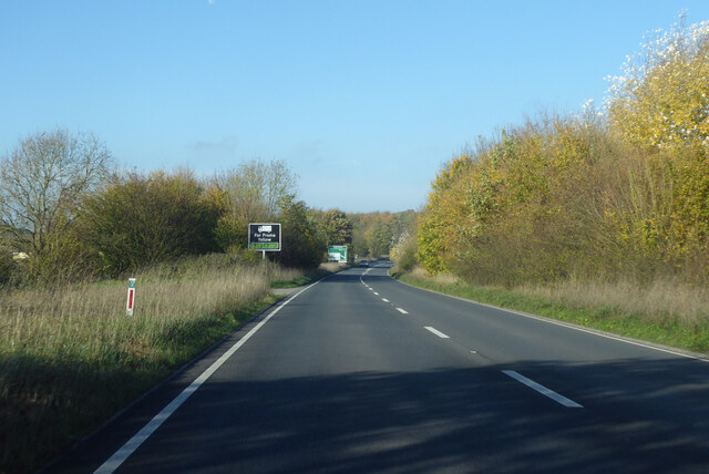
///saddens.eminent.educated. Near Chapmanslade, Wiltshire

Nearby Locations

Hooper's Wood The Lawn

Related Wikis

Chalcot House

Chalcot House is a Grade II* listed country house to the south of the village of Dilton Marsh, near Westbury, Wiltshire, England, standing in Chalcot Park...

Chapmanslade

Chapmanslade is a village and civil parish in the county of Wiltshire, in the southwest of England. The parish is on the county border with Somerset and...

Church of St Mary, Berkley

The Church of St Mary is a Church of England parish church in Berkley, Somerset. It is a Grade II* listed building built in 1751. == History == The church...
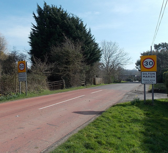
Dilton Marsh

Dilton Marsh is a village and civil parish in the far west of the county of Wiltshire, in the southwest of England. The village is about 1.5 miles (2.4...

Berkley, Somerset

Berkley is a dispersed settlement and civil parish in Somerset, England. According to the 2011 census the parish had a population of 344. It lies on the...

Dilton Marsh railway station

Dilton Marsh railway station serves the village of Dilton Marsh in Wiltshire, England. It is on the Wessex Main Line between Bristol Temple Meads and Southampton...

Rudge, Somerset

Rudge is a hamlet in the civil parish of Beckington in the Mendip district of Somerset, England. Its nearest town is Frome. == Location == The hamlet is...

Westbury Ironstone Quarry

Westbury Ironstone Quarry (grid reference ST853508) is a 5,600 square metre geological Site of Special Scientific Interest just west of Westbury in Wiltshire...

Have you been to The Lawn?

Leave your review of The Lawn below (or comments, questions and feedback).