Hooper's Wood

Wood, Forest in Somerset Mendip

England

Hooper's Wood

A36 at the bottom of Black Dog Hill Seen from the lay-by to the south of the road.
A36 at the bottom of Black Dog Hill Credit: David Martin

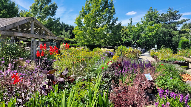
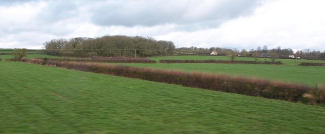
Hooper's Wood is a charming forest located in Somerset, England. Covering an area of approximately 100 acres, it is a haven for nature enthusiasts, hikers, and those seeking tranquility amidst the lush green surroundings.

The wood is predominantly made up of deciduous trees, with a variety of species including oak, beech, and ash. These towering trees provide a dense canopy, creating a cool and refreshing atmosphere. In spring, the woodland floor is adorned with a vibrant carpet of bluebells, adding a burst of color to the already picturesque landscape.

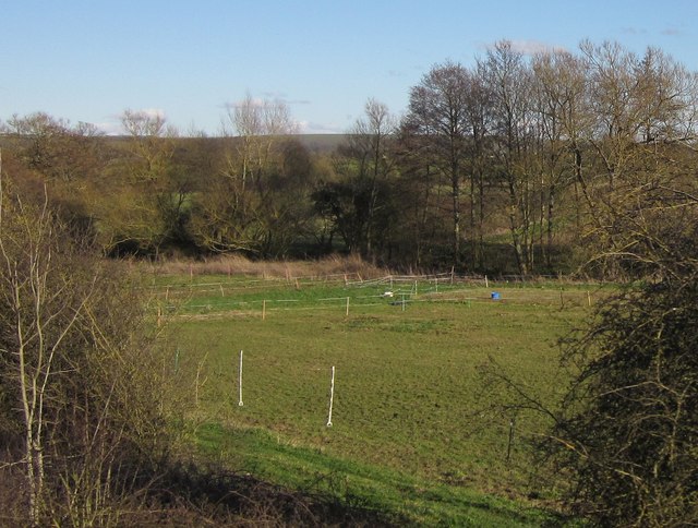
The forest offers numerous walking trails, each varying in length and difficulty. Visitors can explore the wood at their own pace, immersing themselves in the rich biodiversity that thrives within. From rare bird species to small mammals and insects, Hooper's Wood is a thriving ecosystem that supports a wide range of wildlife.

For those interested in history, the wood also holds archaeological significance. It is believed to have been inhabited since prehistoric times, with evidence of ancient settlements and burial mounds scattered throughout.

Hooper's Wood is not only a natural sanctuary but also a place of recreation. It provides opportunities for outdoor activities such as picnicking, bird-watching, and photography. The peace and serenity found within the wood make it an ideal spot for individuals and families alike to escape the hustle and bustle of everyday life.

Overall, Hooper's Wood is a hidden gem in Somerset, offering a peaceful retreat for nature enthusiasts and a glimpse into the region's rich historical past.

If you have any feedback on the listing, please let us know in the comments section below.

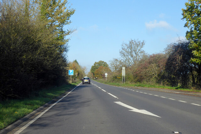
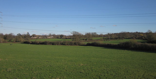
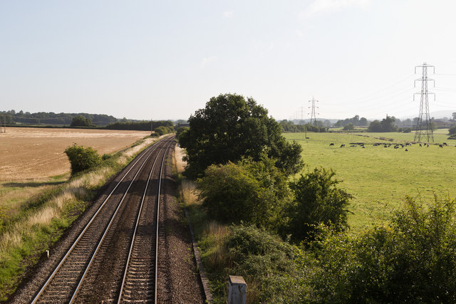
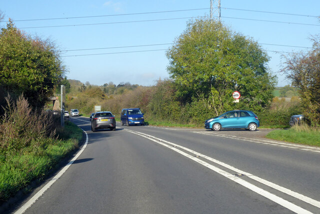
Hooper's Wood Images

Images are sourced within 2km of 51.245248/-2.2562502 or Grid Reference ST8249. Thanks to Geograph Open Source API. All images are credited.

A36 at the bottom of Black Dog Hill Seen from the lay-by to the south of the road.
A36 at the bottom of Black Dog Hill
Seen from the lay-by to the south of the road.
Barters Plant Centre Very colourful stock in early July 2022.
Barters Plant Centre
Very colourful stock in early July 2022.
Barter's Plant Centre entrance An inauspicious entrance to a horticultural emporium.
Barter's Plant Centre entrance
An inauspicious entrance to a horticultural emporium.
Barter's Farm Nurseries Some land has been given up for housing beyond these polytunnels.
Barter's Farm Nurseries
Some land has been given up for housing beyond these polytunnels.
Development area at Barter's Farm Nurseries An area being prepared for a new polytunnel.
Development area at Barter's Farm Nurseries
An area being prepared for a new polytunnel.
A36 towards Bath
A36 towards Bath
Countryside at Berkley Marsh Looking towards the village of Berkley (left of centre) from a train on the main railway line between Westbury and Frome. Pylon lines, drainage channels and hedges cross this low-lying area of pasture.
Countryside at Berkley Marsh
Looking towards the village of Berkley (left of centre) from a train on the main railway line between Westbury and Frome. Pylon lines, drainage channels and hedges cross this low-lying area of pasture.
Passing Berkley Marsh The west of England mainline between Westbury and Taunton passes to the west of the village of Berkley Marsh.  This view is taken early on a mid-August morning from Marsh Lane looking towards Westbury.   The cows are all standing up, so it should be a fine day.
Passing Berkley Marsh
The west of England mainline between Westbury and Taunton passes to the west of the village of Berkley Marsh. This view is taken early on a mid-August morning from Marsh Lane looking towards Westbury. The cows are all standing up, so it should be a fine day.
Berkley Marsh Looking west towards Frome at Berkley on the Great Western Main Line.
Berkley Marsh
Looking west towards Frome at Berkley on the Great Western Main Line.
Junction of A36 and B3099 Looking in the Bath direction. The B3099 goes towards Westbury.
Junction of A36 and B3099
Looking in the Bath direction. The B3099 goes towards Westbury.
A36 towards Bath
A36 towards Bath
The Bell at Standerwick
Towards Barber's Wood The wood on the right is Barber's Wood, the one on the left is Whittaker's Tyning Wood but that is in <a href="https://www.geograph.org.uk/gridref/ST8050">ST8050</a>. The tractor is in this square though. Surely it cannot be towing a muck spreader; this is dairy farming land.
This photo was taken from the 1158 Penzance to London Paddington train, having left Castle Cary at 1550.
Towards Barber's Wood
The wood on the right is Barber's Wood, the one on the left is Whittaker's Tyning Wood but that is in ST8050. The tractor is in this square though. Surely it cannot be towing a muck spreader; this is dairy farming land. This photo was taken from the 1158 Penzance to London Paddington train, having left Castle Cary at 1550.
Cuzner's Farm Some of the farm buildings visible from the railway line.
This photo was taken from the 1158 Penzance to London Paddington train, having left Castle Cary at 1550.
Cuzner's Farm
Some of the farm buildings visible from the railway line. This photo was taken from the 1158 Penzance to London Paddington train, having left Castle Cary at 1550.
Towards Standerwick This scene always seems to catch people's eye from the train.  Here is another interpretation by Lewis Clarke <a href="https://www.geograph.org.uk/photo/1347575">ST8150 : Mendip : Grassy Field & Buildings</a>.  The pub is The Bell.
This photo was taken from the 1158 Penzance to London Paddington train, having left Castle Cary at 1550.
Towards Standerwick
This scene always seems to catch people's eye from the train. Here is another interpretation by Lewis Clarke ST8150 : Mendip : Grassy Field & Buildings. The pub is The Bell. This photo was taken from the 1158 Penzance to London Paddington train, having left Castle Cary at 1550.
Barber's Wood See <a href="https://www.geograph.org.uk/photo/2521974">ST8150 : Towards Barber's Wood</a>, also taken from a train at about the same spot. To the right of the wood are Court Farm and Leigh Farm.
Barber's Wood
See ST8150 : Towards Barber's Wood, also taken from a train at about the same spot. To the right of the wood are Court Farm and Leigh Farm.
Meadow near Fairwood Farm A small field enclosed  by a winding tree-lined brook (far side), a bridleway and the main railway line west of Fairwood Junction, from which this was taken.
Meadow near Fairwood Farm
A small field enclosed by a winding tree-lined brook (far side), a bridleway and the main railway line west of Fairwood Junction, from which this was taken.
A36 near Standerwick Looking in the other direction from <a href="https://www.geograph.org.uk/photo/1347580">ST8250 : Mendip : A36 & Grassy Field</a> along the main road as it approaches Frome Market, from a passing train on the main railway line. The road passes beneath a power line, and the roadsign indicates the junction with the B3099 to Dilton Marsh on the left.
A36 near Standerwick
Looking in the other direction from ST8250 : Mendip : A36 & Grassy Field along the main road as it approaches Frome Market, from a passing train on the main railway line. The road passes beneath a power line, and the roadsign indicates the junction with the B3099 to Dilton Marsh on the left.
Show me another place!

Hooper's Wood is located at Grid Ref: ST8249 (Lat: 51.245248, Lng: -2.2562502)

Administrative County: Somerset

District: Mendip

Police Authority: Avon and Somerset

What 3 Words

///woven.firebird.boss. Near Chapmanslade, Wiltshire

Nearby Locations

Hooper's Wood The Lawn

Related Wikis

Church of St Mary, Berkley

The Church of St Mary is a Church of England parish church in Berkley, Somerset. It is a Grade II* listed building built in 1751. == History == The church...

Berkley, Somerset

Berkley is a dispersed settlement and civil parish in Somerset, England. According to the 2011 census the parish had a population of 344. It lies on the...

Chapmanslade

Chapmanslade is a village and civil parish in the county of Wiltshire, in the southwest of England. The parish is on the county border with Somerset and...

Chalcot House

Chalcot House is a Grade II* listed country house to the south of the village of Dilton Marsh, near Westbury, Wiltshire, England, standing in Chalcot Park...

Rudge, Somerset

Rudge is a hamlet in the civil parish of Beckington in the Mendip district of Somerset, England. Its nearest town is Frome. == Location == The hamlet is...

Frome Hoard

The Frome Hoard is a hoard of 52,503 Roman coins found in April 2010 by metal detectorist Dave Crisp near Frome in Somerset, England. The coins were contained...

The Wool Hall

The Wool Hall is a recording studio in the village of Beckington, near Frome, Somerset, England. It was originally a residential studio set up by Tears...

Beckington Castle

Beckington Castle is a historic house in the village of Beckington, Somerset, England. It is a Grade II* listed building.It was built in the early 17th...

Nearby Amenities

Located within 500m of 51.245248,-2.2562502
Power: pole
Lat/Long: 51.2425198/-2.2601679
Power: pole
Lat/Long: 51.243071/-2.2587391
Power: pole
Lat/Long: 51.2436371/-2.2573171
Power: pole
Lat/Long: 51.2439574/-2.2557596
Power: pole
Lat/Long: 51.2442742/-2.2542189
Power: pole
Lat/Long: 51.2451985/-2.2533381
Power: pole
Lat/Long: 51.2462207/-2.2523594
Power: pole
Lat/Long: 51.2469366/-2.2516772
Power: pole
Lat/Long: 51.2479133/-2.2507432
The data included in this document is from www.openstreetmap.org. The data is made available under ODbL.

Have you been to Hooper's Wood?

Leave your review of Hooper's Wood below (or comments, questions and feedback).